Location: North 67:33.536, East 014:56.960 (GPS on the summit)
Difficulty: YDS class 2 (summer), class 2+ winter
Climbed November 5, 2006
Information:
How to get there:
This mountain is located on Kjerringøy north of
the city Bodø. The first thing to note is that this is
not an island despite of the name. However, to build a road out here would
likely be horribly expensive due to the mountains that block all easy access.
One must therefore take a ferry in order to reach this area.
Locate signs for Hwy. 834 to Kjerringøy. The signs are a bit weak, you may also
look for a road to Rønvik. This road turns right if you are heading towards the
city center from the airport. Follow this road to the ferry at Festvåg. The distance is about
30 kilometer and the driving time about 30 minutes. This ferry runs frequently and the crossing
is only 10 minutes. The ticket is NOK 51.- (2006). Do note that early departures on Sundays as well
as some late departures need to be booked in advance by calling the ferry station at Festvåg,
phone number 75511912.
The ferry gets you to Misten, and Hwy. 834 continues to the old center of Kjerringøy then
further north-east along the coast to Strandå, then about 3 more kilometer until you are near
a place marked as Låter on the M711 map. The road is pretty straight here and there are several
small turnouts where one may park a car. Park here, this is a reasonable trailhead, location
N67:33.678, E014:54.004, elevation 10 meter. Route description:
Cross the road and notice a distinct hill (point 75 meter on the map), just across. Contour around
this hill on the south (right) side along its base. You will pass a cabin in this area. Head uphill
on the broad slope. The terrain above you has many sloping ridges, sort of perpendicular to our
uphill direction. These ridges all slope uphill to your left (north). Follow each ridge a little bit left,
then cross over (without loosing much elevation) and climb the next ridge. Keep doing this until you are
on a small ridge that clearly connects up into the slope of the mountain. There may be one more ridge
above you before the small lakes further into the valley. Ascend this ridge and continue up among
some boulders. As you climb higher, move left where it is natural to cross uphill towards the left
ridge line of Eidetinden. From here, follow this line all the way up to the summit ridge. The summit is
all the way across to your right. Comments:
After an extremely heavy workout the day before
that ended without a summit climb, I looked forward to doing a peak that hopefully
would require (substantial) less effort. I stayed at Bodø hotel and had booked
myself a ferry crossing from Festvåg at 0705. Thus, around 0620 I was on my way.
The drive was uneventful and I parked shortly before 0800. Bodø had just received
more snow than normal, but despite this, it was clear that this mountain should be
climbed on foot. I left the skis behind and headed uphill at 0800. The climb was fairly
easy, but as I got higher, icy rocks certainly required crampons. I rested at 400 meter
elevation after the first hour and made it to 750 meter in two hours. Unfortunately,
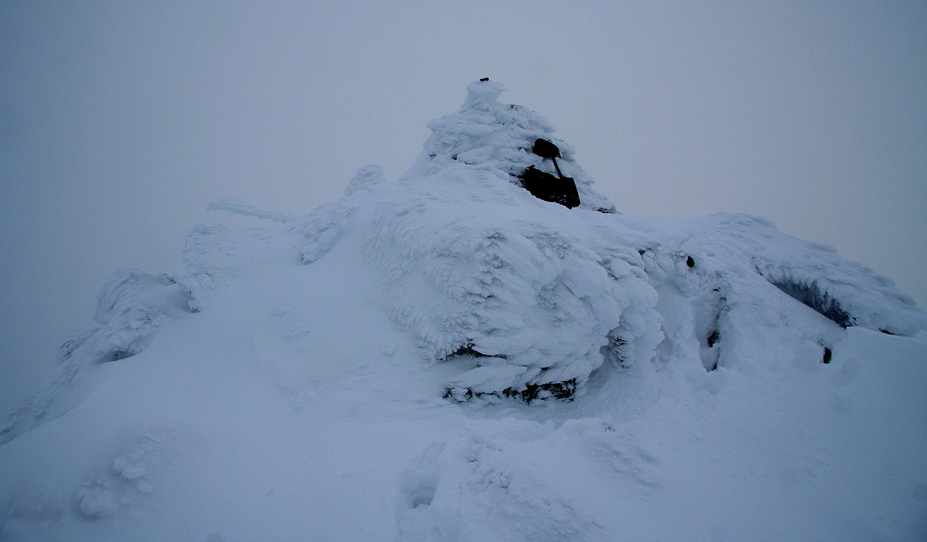
the summit went straight into the clouds, so little view up high. I topped out shortly
before 1100.
Descending rather carefully among snow and slippery rocks on a slope that is steep enough
to discourage any falls, the weather started to clear and the view got better and better.
I was back at the car around 1315, with lots of time to enjoy the spectacular landscape
while driving back to Misten and the ferry. It turned out that I made a ferry ahead
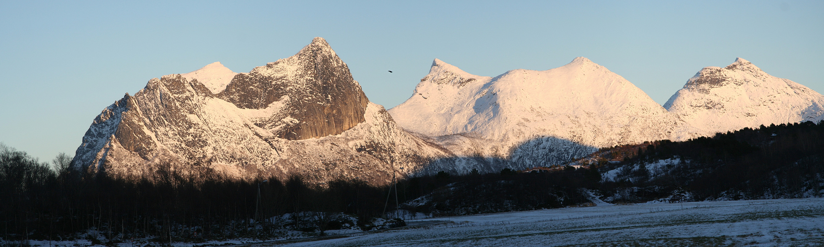
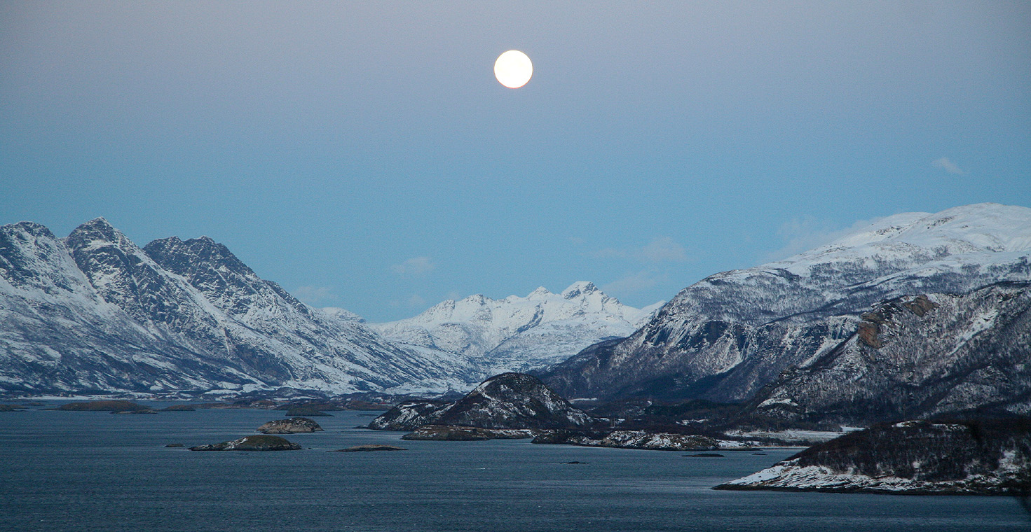
of the one I had planned for. The full moon came up and I was fascinated by Steigtinden (793 m),
it looked very nice from the north. This concluded my weekend trip to Bodø, I certainly
hope that the trips that Bodø Fjellsport organizes will get more regular over time.
Resources:
Images
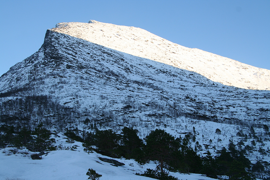
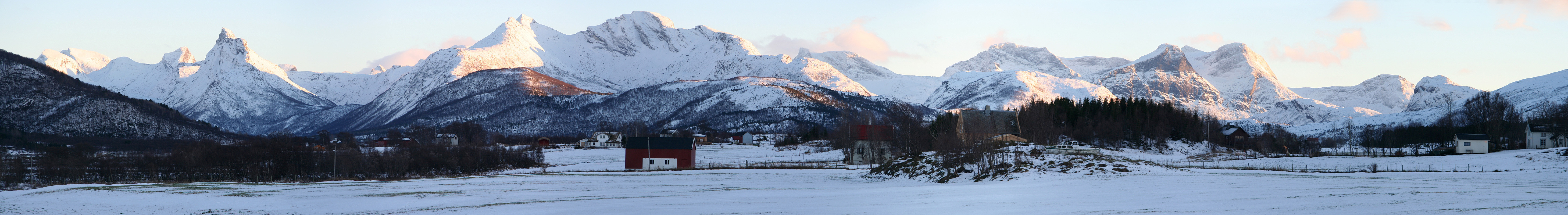
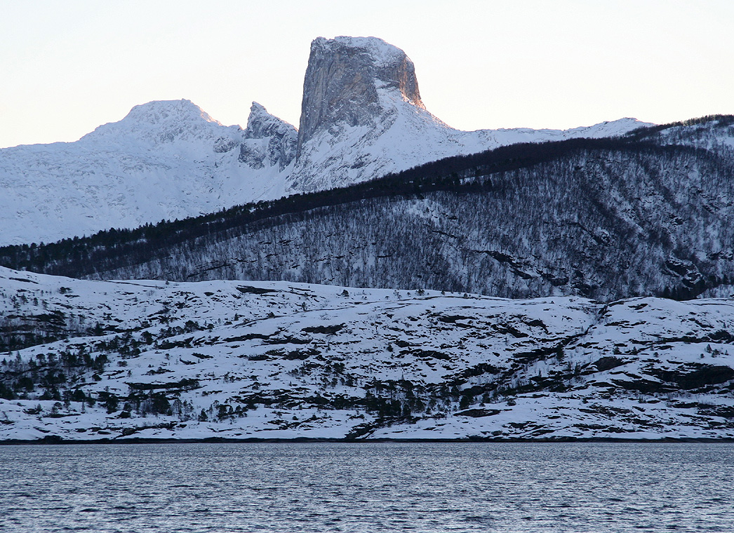
Eidetinden, the slope is somewhat steeper than it looks.