Location: North 38.80725, West 122.74046 (GPS at the summit)
California
Difficulty: (YDS) class 2
Climbed March 4. 2018.
Note: Both elevation and key saddle interpolated.
Information:
How to get there:
This mountain is located between Santa Rosa (south) and
Clear Lake (north). From Clear Lake, drive Hwy. 175 south to the
small place called Cobb (road intersection, a gas station, motel and
restaurant). Continue about 1.5 kilometer, then turn right (Whispering Pine)
and drive uphill to find the trailhead at the end of the road. This location
is N38.81382, W122.71667, elevation about 885 meter.
Route description:
Cross the gate and follow the old track as it climbs uphill. Take the uphill
direction at a couple of forks. The track is overgrown in places and there are
a few fallen trees across as well. Higher up (at least with snow) the track
is less well defined and one may as well just head uphill towards the top.
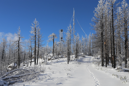
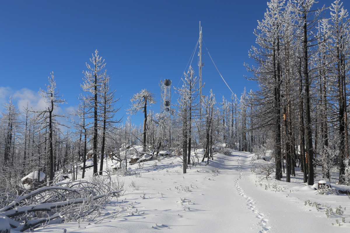
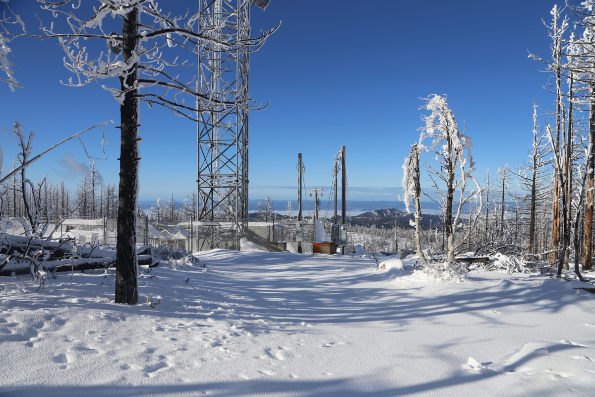
This will get you to the east summit, there are some antennas here. A clear
track/road connects this summit
with the main summit via a very shallow
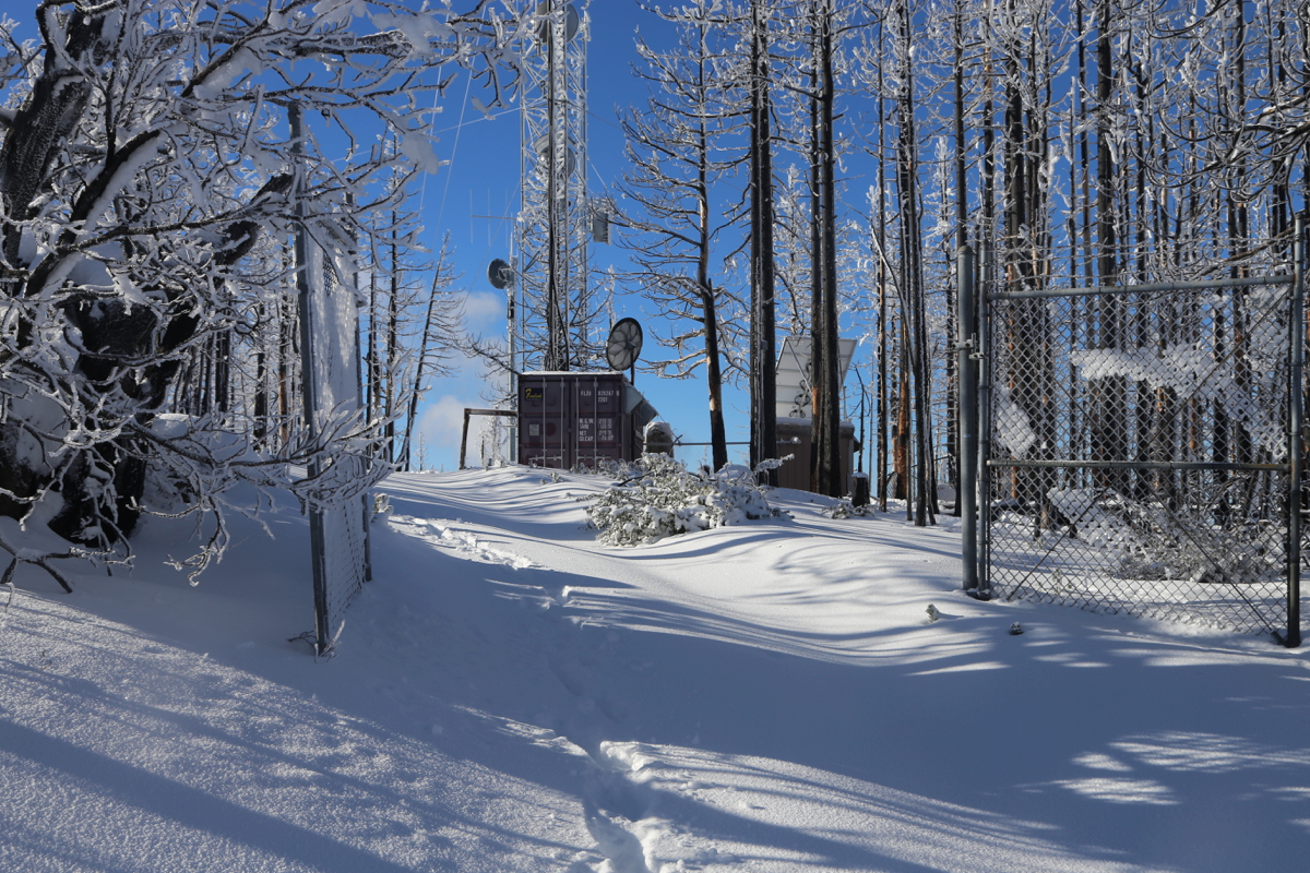
saddle. The main summit also has antenna installations, there is
an open gate, but no fence.
A good example that more such sites should follow!
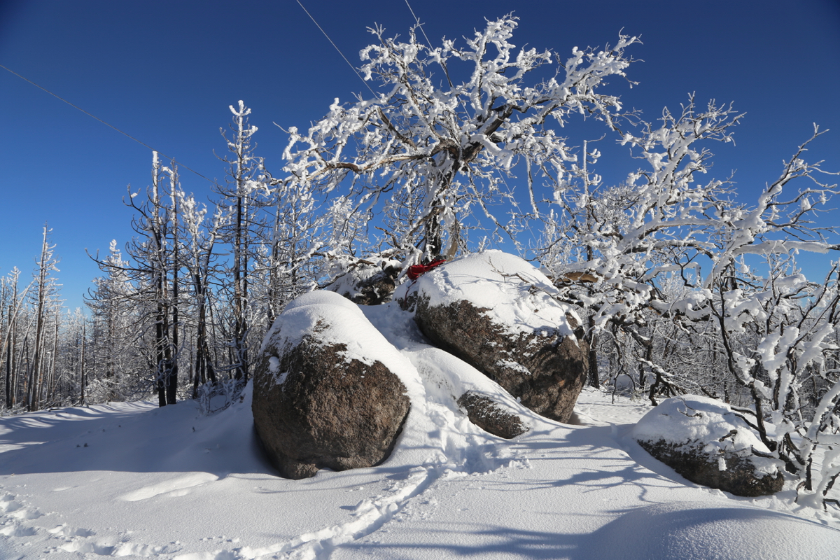
The summit is on top of a big boulder.
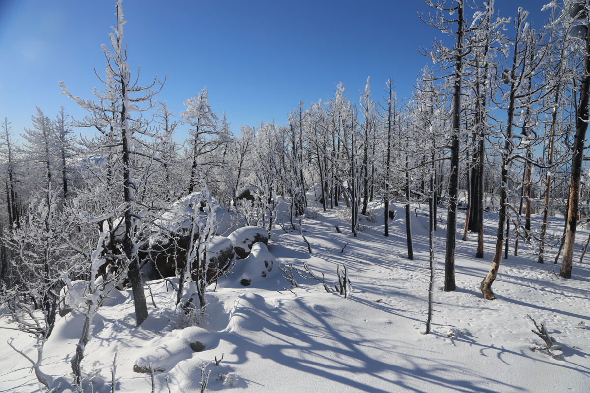
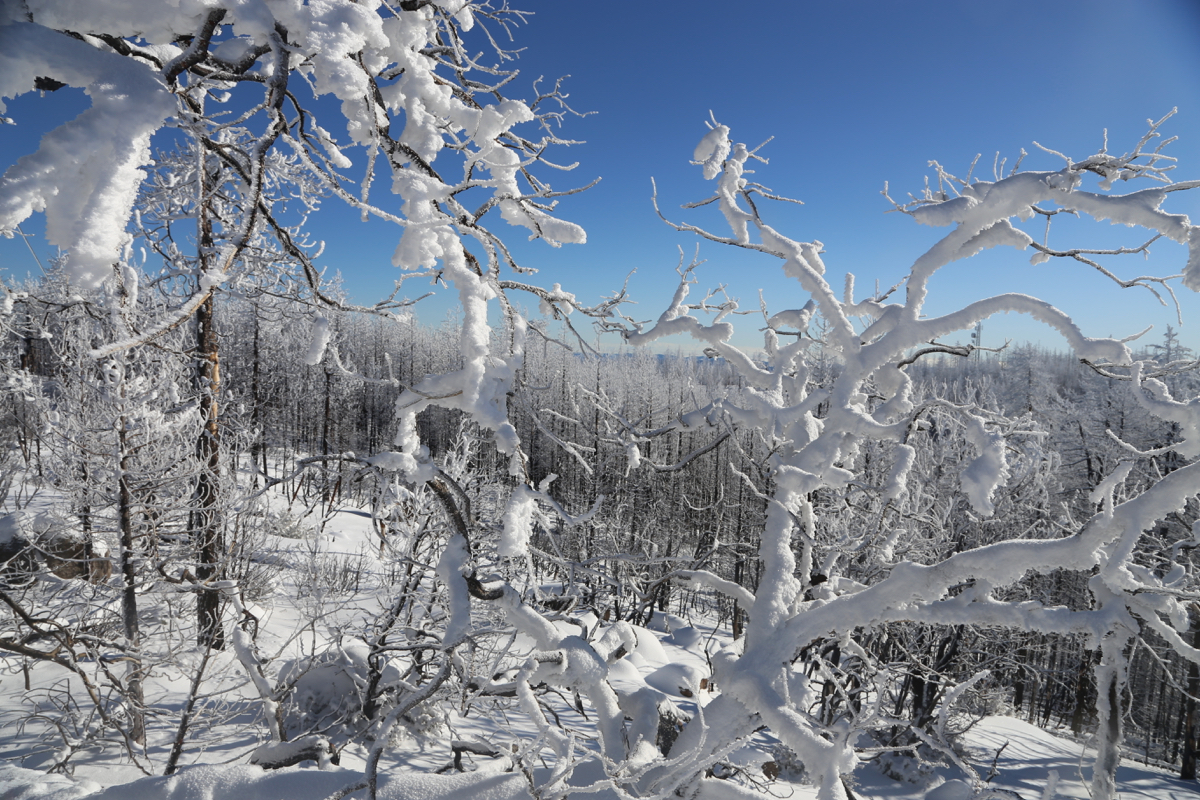
The view is partially obstructed
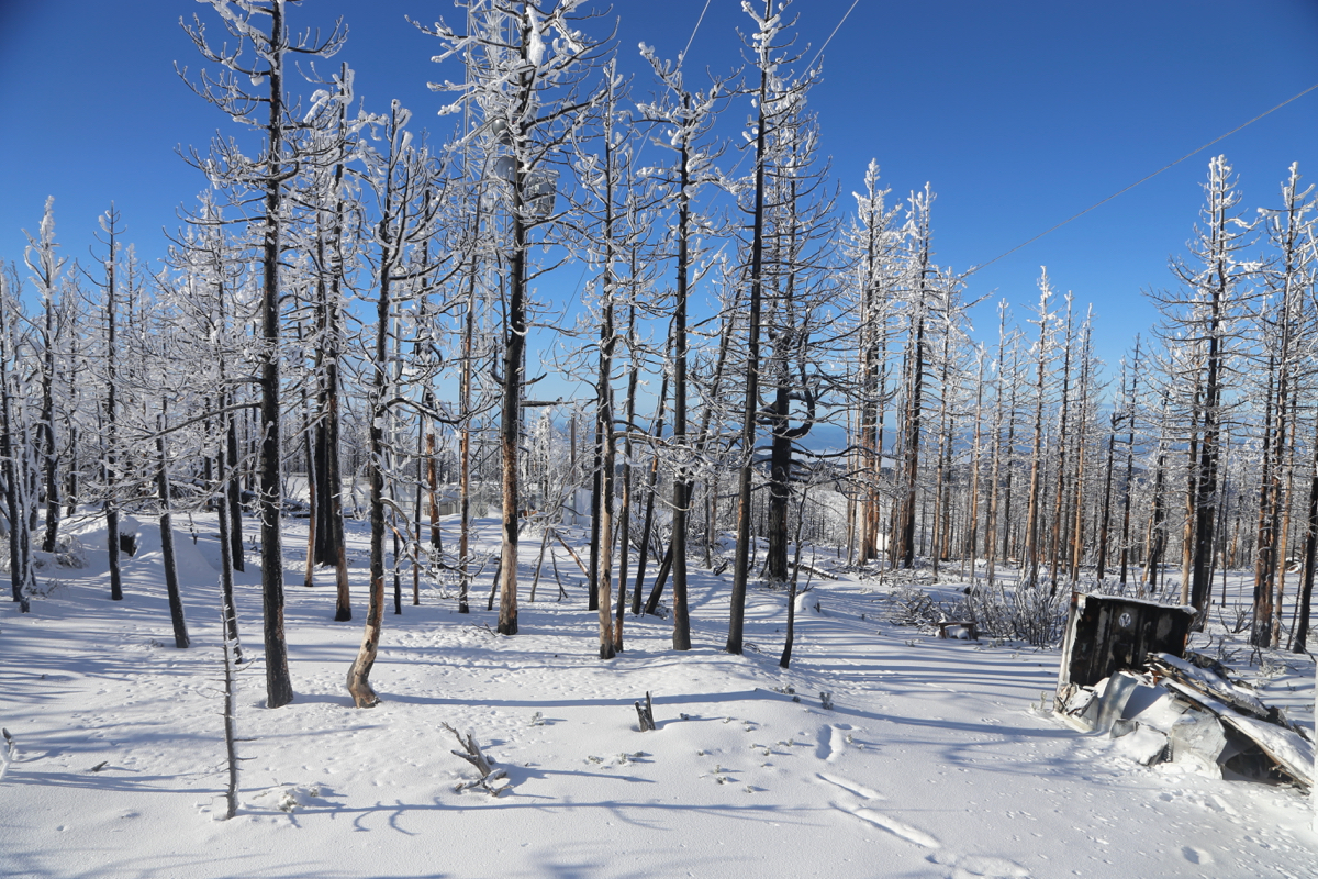
by the trees. Most everywhere a forest fire
has damaged the trees. Comments:
I stayed at a friendly motel in Cobb, with dinner at the local pub.
Leaving early, I located parking next to some trees on the right hand
side a bit beyond the old red truck. I was ready to hike by 0645.
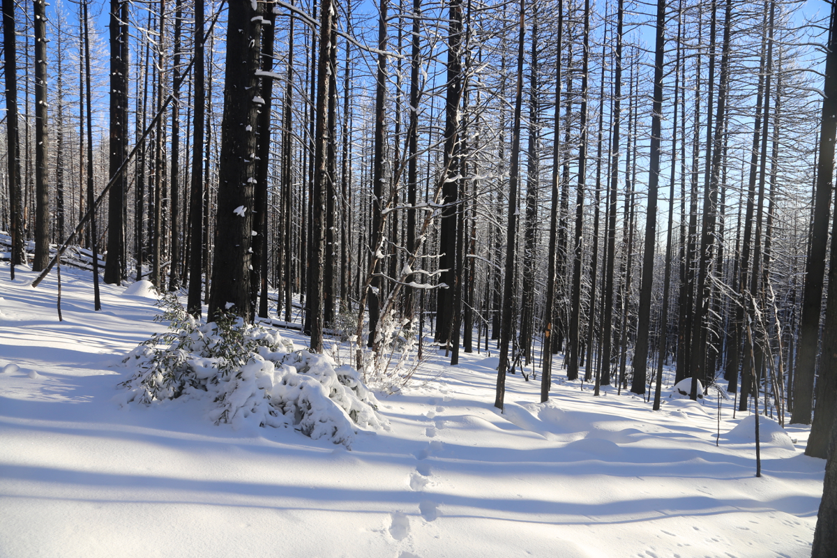
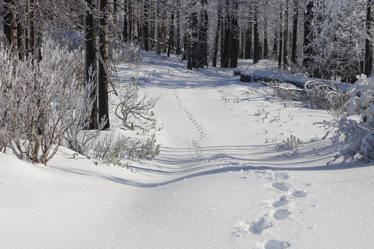
There was snow already at the trailhead,
gradually getting deeper
higher up. The hike uphill a
bit more heavy work than normal due to
postholing or at least plodding
in the snow all the time.
I arrived at the summit
at 0830, so 1:45 up.
A few pictures and a 10
minute rest seemed well deserved. The forest all over the upper part
of this mountain has suffered damage from a recent fire.
I was back down at 0930, so only 50 minutes on the return hike. This
huge time difference is typical for the conditions. Walking downhill
in a track is much easier with snow on the ground.
I now drove to Santa Rosa hoping
to climb Hood Mountain in the
afternoon.