Location: North 42:46.280, East 010:10.063 (GPS at the summit)
Difficulty: (YDS) class 1.
Climbed July 5. 2012.
Information:
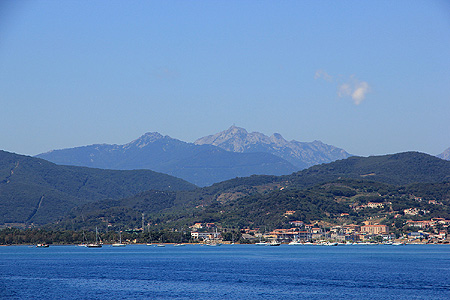
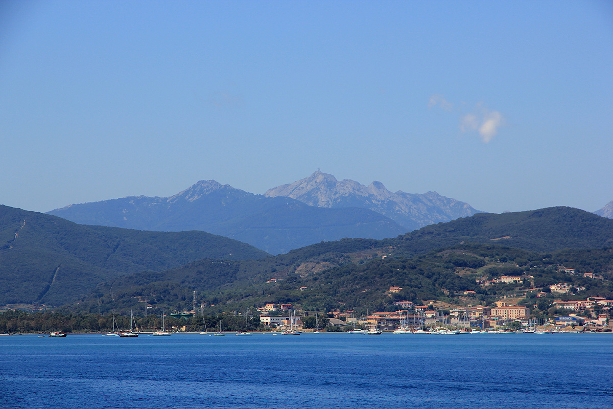
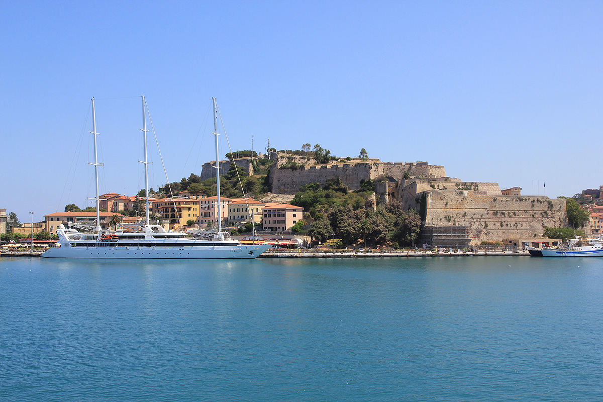
How to get there: Elba is served by
frequent ferries departing
from the town of Piombino, south of the larger
city of Livorno on the Italian west coast. The ferry cost (2012) about Euro 50 for a car and
two adults. It takes one hour to cross to the
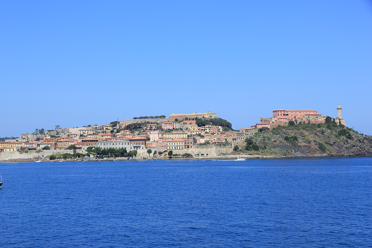
small city of Portoferraio.
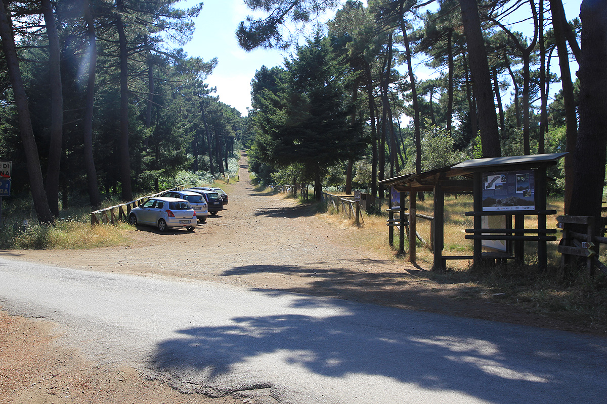
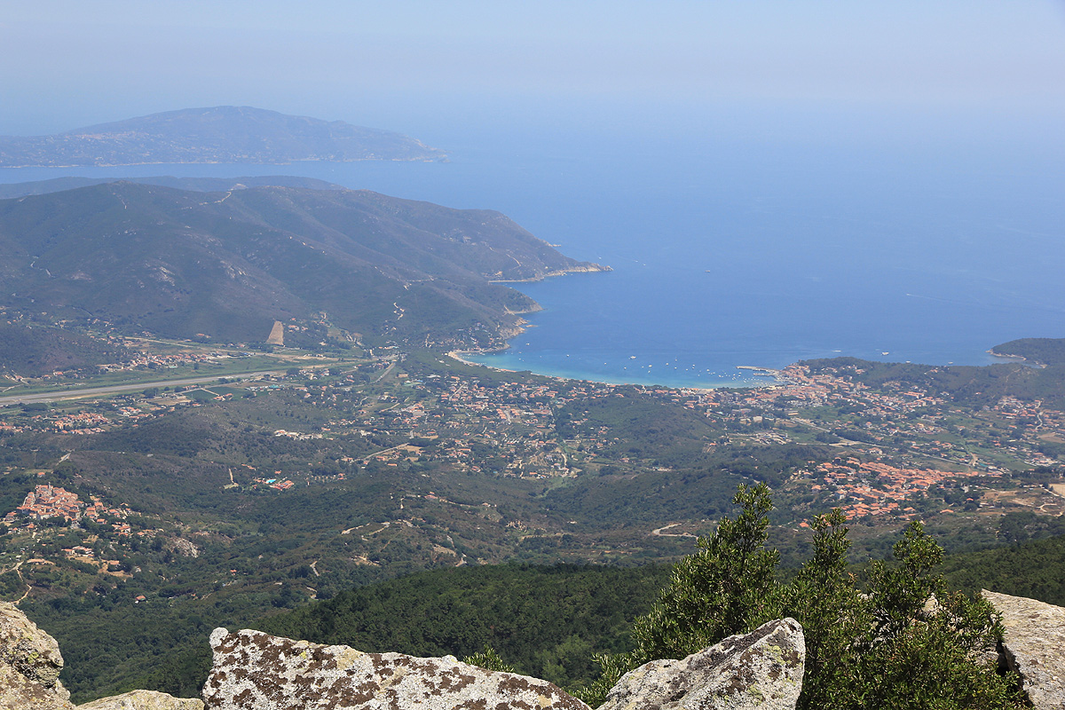
There are several trailheads, depending on what hike you like to do. I can strongly
recommend the trailhead that also serves Monte Perone. Drive to Procchio, make a left to Hwy. 29
and connect to
Hwy. 37. Drive this narrow, winding road until you see an obvious trailhead.
There is parking both
left and right. This location is N42:46.632, E010:11.989, elevation about 625 meter.
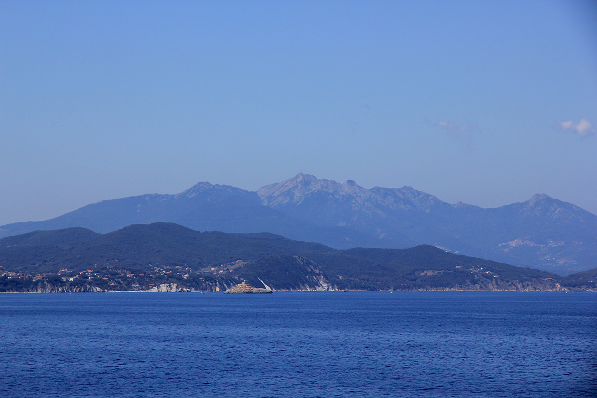
Here is an overview of peaks climbed at my Europe 2012 summer trip.
Route description:
From this trailhead one can do a loop hike that involves some fun rock scrambles or one can just hike the main
trail from here to the summit. This description covers the circle hike.
Scramble (ascent) route:
From the trailhead, start out up the long gentle forest road that starts next to the signs. This route is
labelled route no. 5. The trail stays on the ridge and climbs gently until a more level section among small and
large boulders. Just as the ridge gets somewhat more steep, route no. 5 forks right off the ridge. Read about
this on the descent.
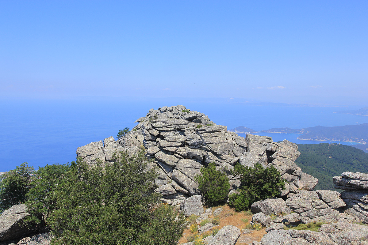
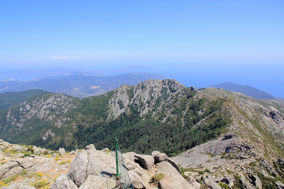
Your route will remain on the ridge all
the way as this ridge turns right and ends at the very summit.
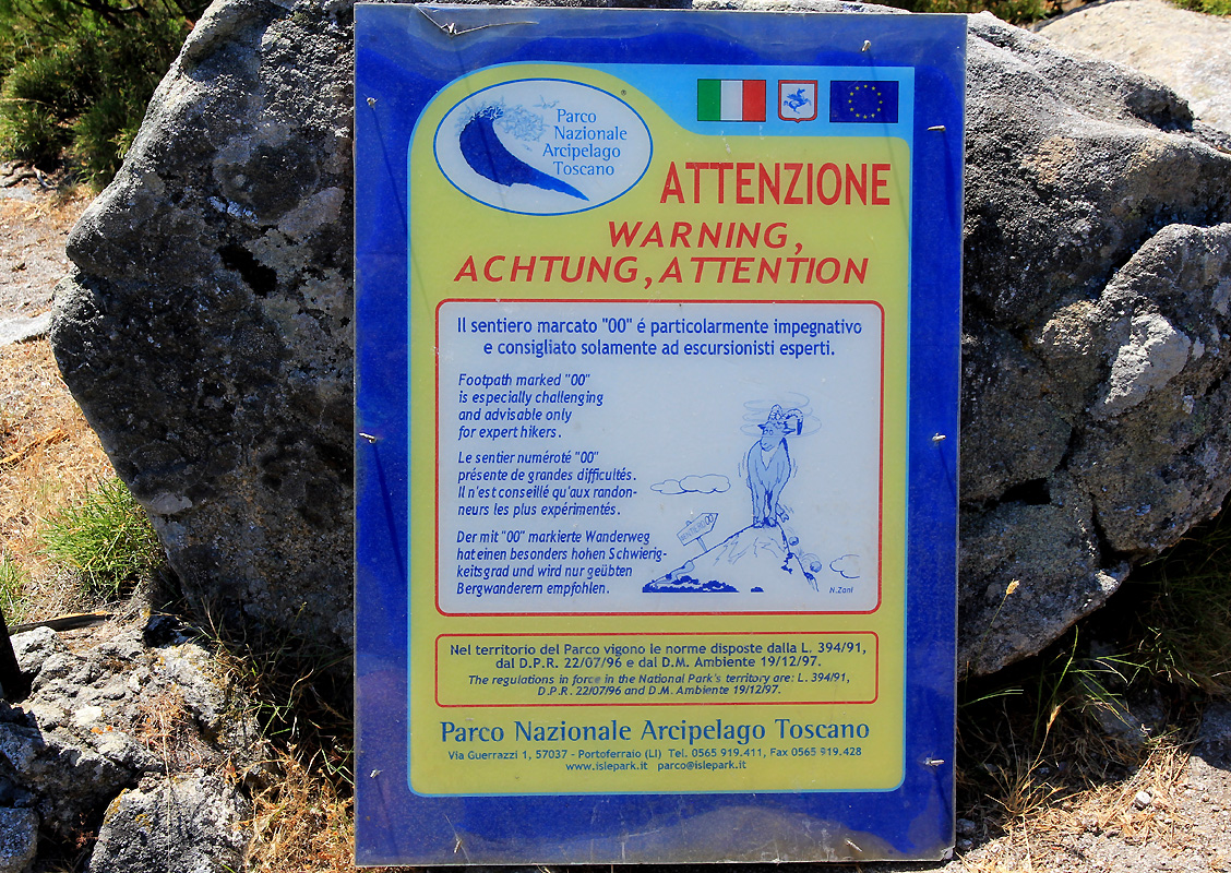
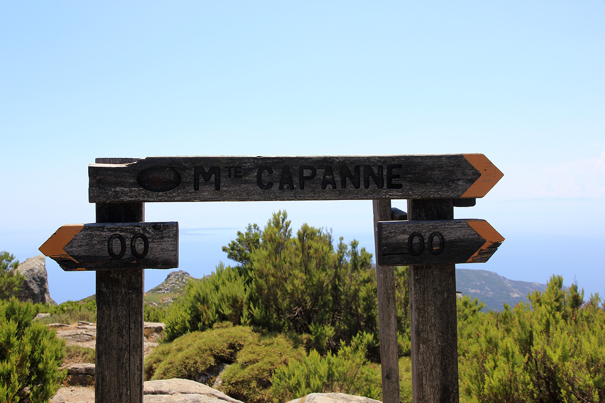
First, walk by a warning sign telling that this route is a "00" (double zero) route only for very
experienced hikers. Continue uphill, as this trail will cross several local bumps on the ridge.
The route is secured with steel cable protecting all sections that have some exposure. Thus, this route
is (YDS) class 2+ when using the cables, while it is (YDS) class 3 without the use of the cables.
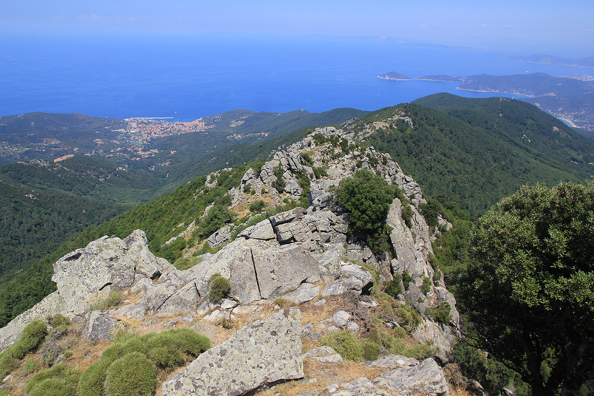
The ridge turns more left as you arrive at a local summit
point marked with a cross,
location N42:46.042, E010:10.787, elevation about 902 meter.
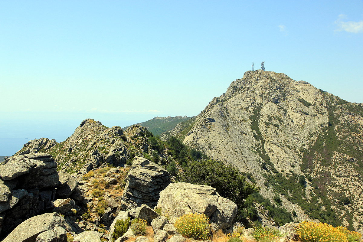
Continue along the ridge (pic: looking back) until you hit the
main col in the ridge. Two bumbs earlier, the route gets off the ridge on the right side. To continue
on the ridge here will get you to a somewhat steep and unprotected downclimb.
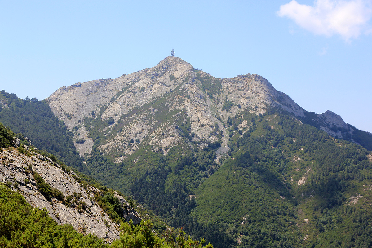
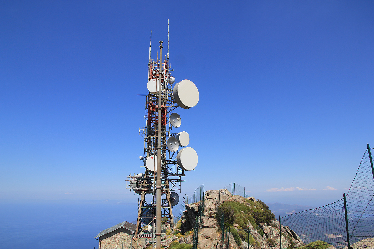
The final ascent runs up large slabs and follows a few cracks in the early going (all protected with cable),
then the slope is easier as you
complete the last part of the climb directly up
to a large antenna mast.
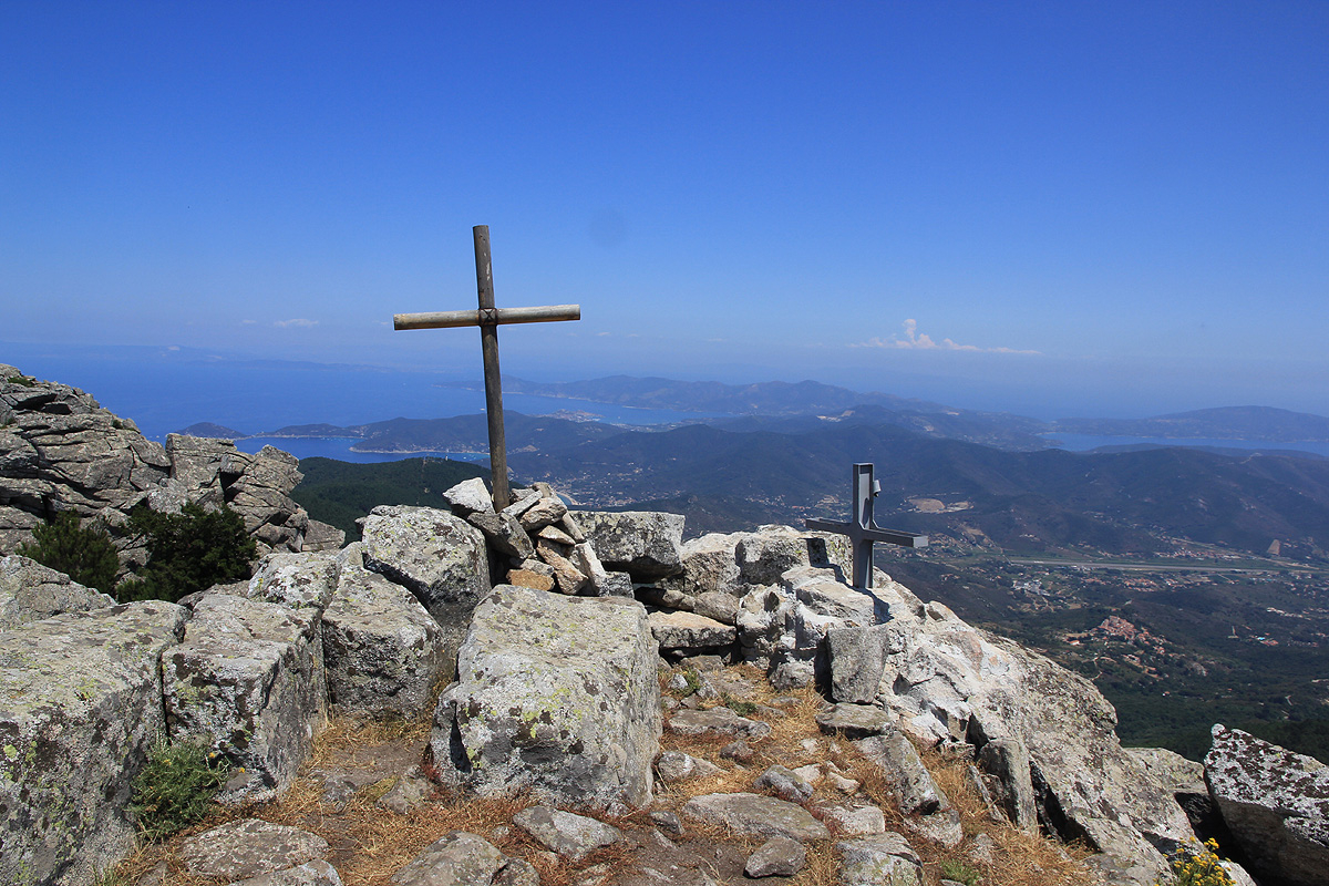
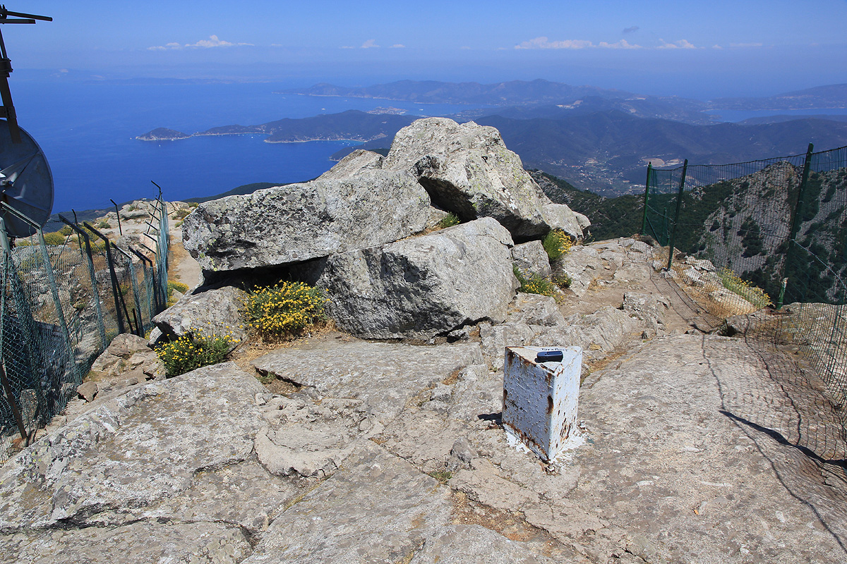
There is a small white marker near
the summit, the highest point is on one standing boulder.
Normal (descent) route:
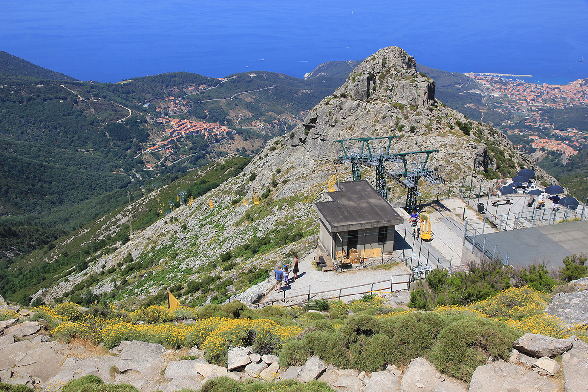
Descend from the summit along the big trail that has steps as it zig zags up from
the top of the gondola lift.
As you approach the top station, go right and descend to the local bar. On its left side,
trail 1 and 2 continues downhill. You will reach a fork where you go right. There may be signs pointing to
Monte Perone and/or trail 5, these are both correct. The trail now descends significantly before hitting
the next fork where trail no 5 forks right. Follow this trail as it traverses into the bowl below the peak
and the ridge with the double zero route. The trail now ascends a little before hitting another trail fork
at the innermost point in the bowl. Continue on trail 5 (straight), as it now again descends slightly before
traversing and gradually climbing to the ridge crest. This is the fork described above on the ascent route.
Descend along the ridge to the trailhead.
Comments:
We arrived by ferry to the island in the morning and with somewhat limited information,
we parked at this trailhead without being absolutely certain that this would be the
best choice. I left the car at 1325 and headed up the big trail that initially runs through forest.
Higher up, I got a better view and realized that I most likely was on the best route to this
summit. When I got to the trailfork where trail 5 leaves the ridge and the double-zero trail
equipped with a warning sign continues
up the ridge, it was just to tempting to take the
double-zero. This route would be a complete ridge traverse following around the bowl and ending at
the very summit. The trail was not difficult and exposed sections were well protected by cable.
I reached a smaller, subsidiary summit located just where the ridge bends right, at
1405, then proceeded to the main saddle and
up the final vertical to gain the summit at 1445.
Nobody else took this route as long as I was in the area.
However, several people had taken the gondola lift and were busy completing the few remaining vertical meter
to the summit.
I left the summit at 1455, descended to the top station of the gondola lift, then proceeded down the ridge
before taking the tourist (normal) route back into the bowl (below the ridge route), joining my route of
ascent back on the lower part of the ridge. I returned to the trailhead at 1505, ie. 1:10 for the return hike.
We took an early evening fery back to the Italian mainland, then drove inland before finding dinner
and accommodation in a small, local village on the way to Monte Amiata.