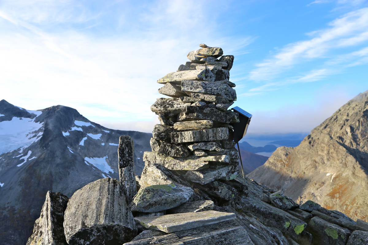
Location: North 62.46199, East 007.64991 (GPS on the summit)
Norland, Norway
Difficulty: (YDS) class 2+
Climbed October 17. 2015
Information:
How to get there:
The trailhead is located slightly above the tourist facilities at the top of
the famous Trollstigen highway. This road (Hwy. 63) connects Åndalsnes with
the valley Valldalen. There is a turnout parking for 4-5 cars at a place named Strupen,
location N62.44700, E007.66164, elevation about 750 meter.
Route description:
Follow a cairned path from the trailhead up to a bridge at the outlet
of lake Bispevatnet, elevation 1000 meter. From here, the trail runs
along the lake (east side), then gains the (1120-1140) saddle between
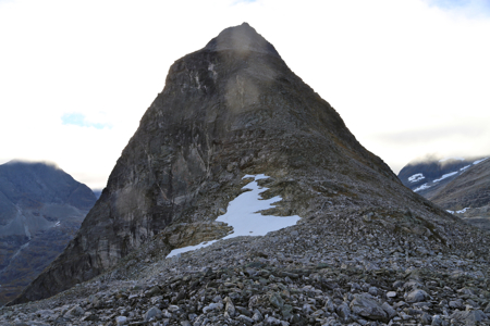
the two peaks, Bispen and Kongen. Actually, this trail serves Bispen and climbs
quite a bit above this saddle on the slope of Bispen.
Continue uphill, the trail is quite visible and well marked with cairns.
There is a single step of pretty easy (YDS) class 3 scrambling.
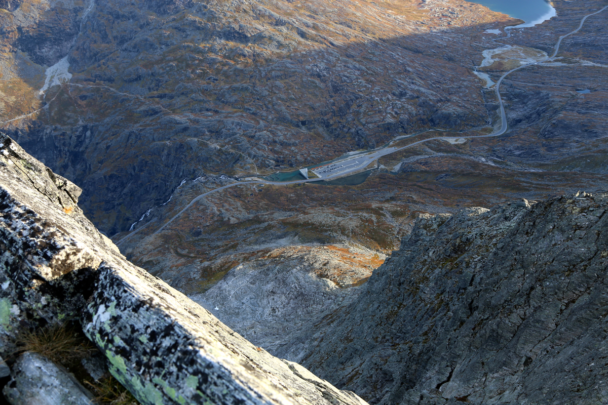
The summit is
quite pointed with a very impressive view back
down to the tourist parking
at the top of the Trollstigen highway.
Comments: