Mont Aigoual
- Mont Aigoual
- 1565 m.
- Primary factor 732 m.
- France
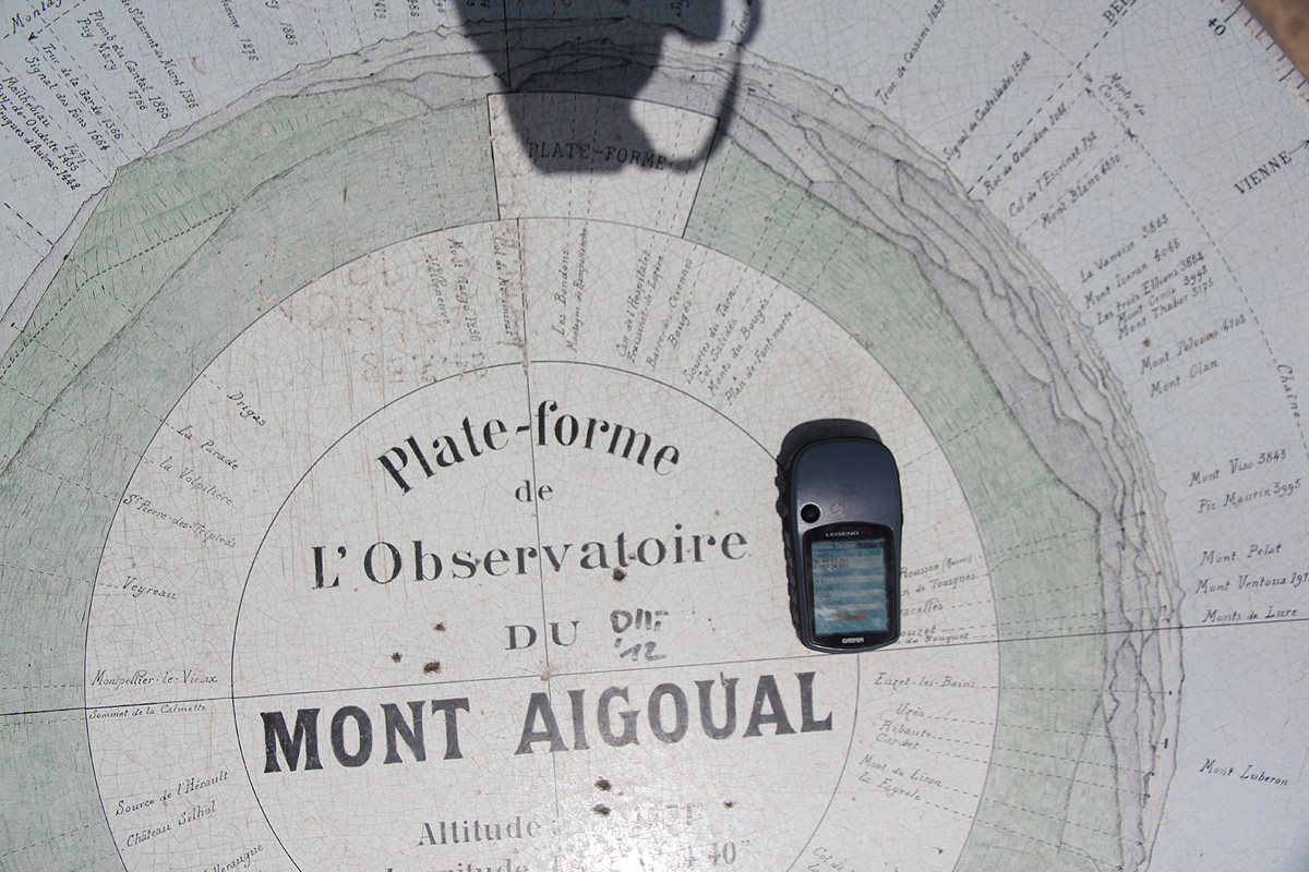
- Location: North 44:07.294, East 003:34.883 (GPS at the summit)
- Difficulty: (YDS) class 1.
- Climbed July 2. 2012.

Mont Aigoual
|
|
Here is an overview of peaks climbed at my Europe 2012 summer trip.
Route description:
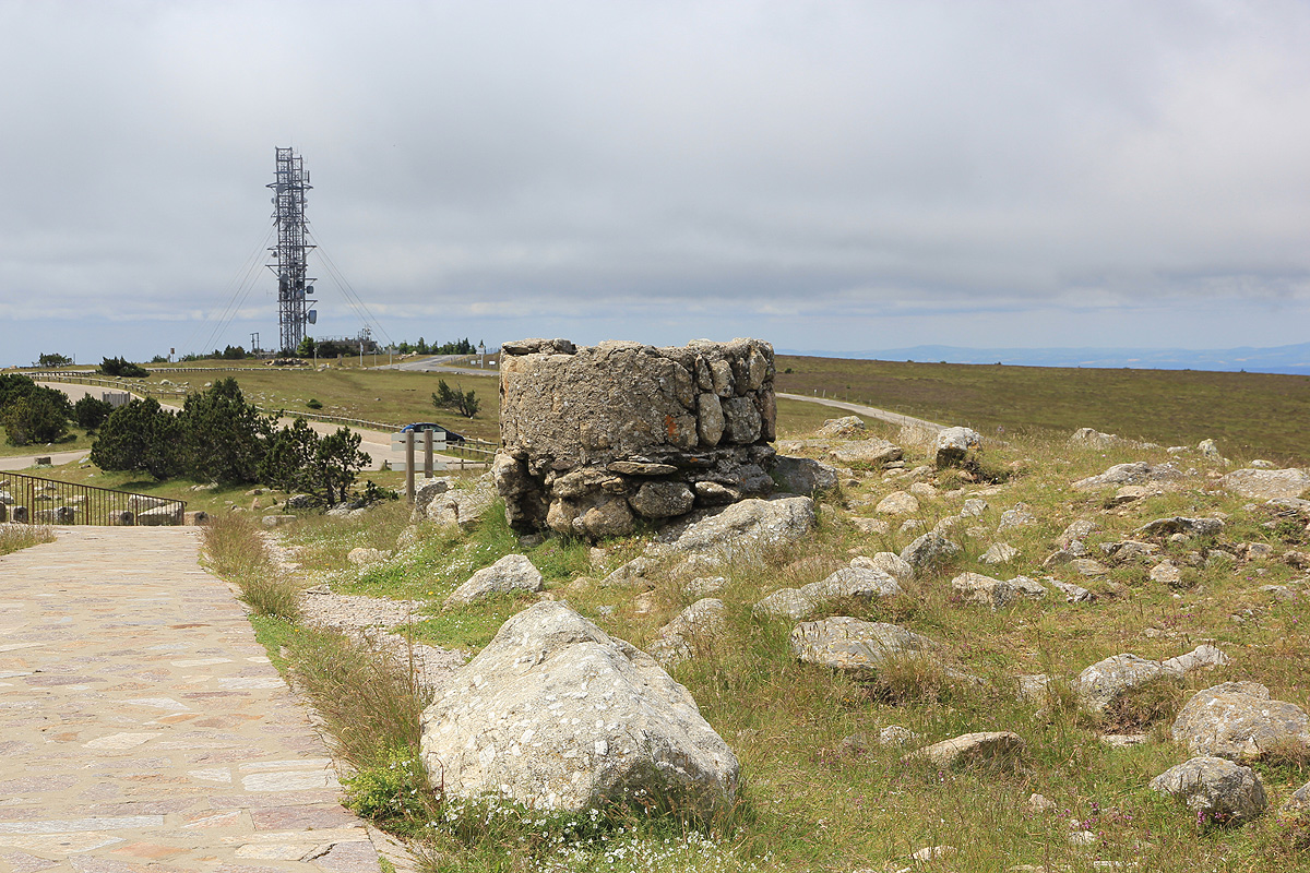
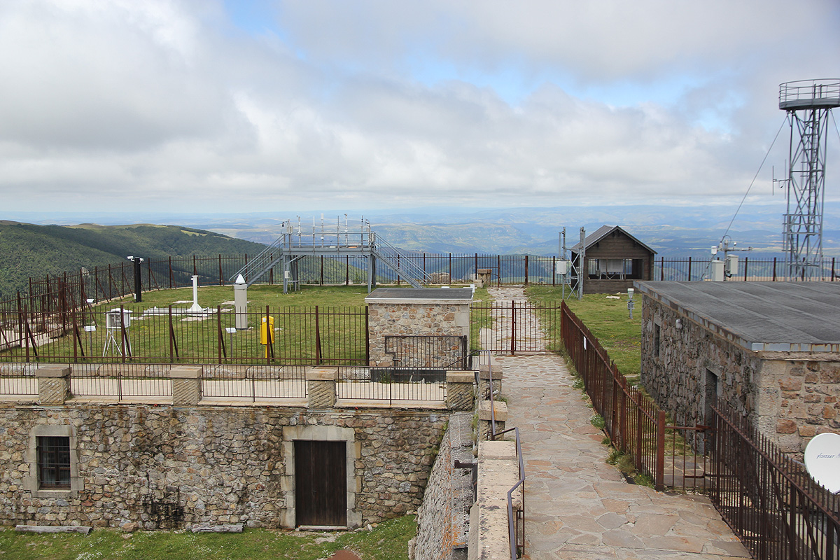
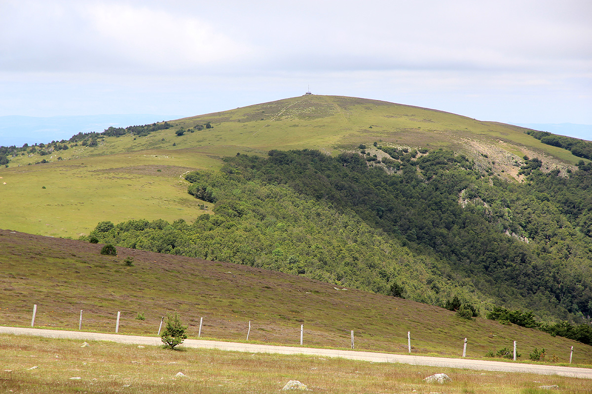
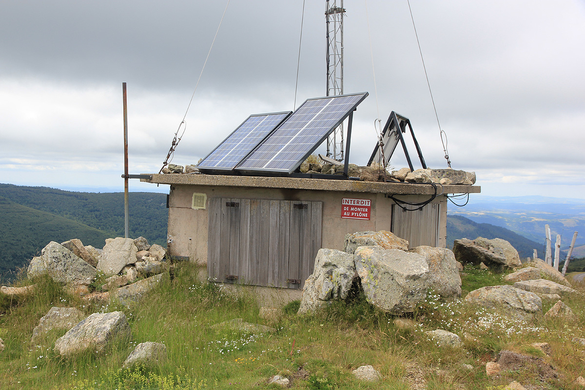
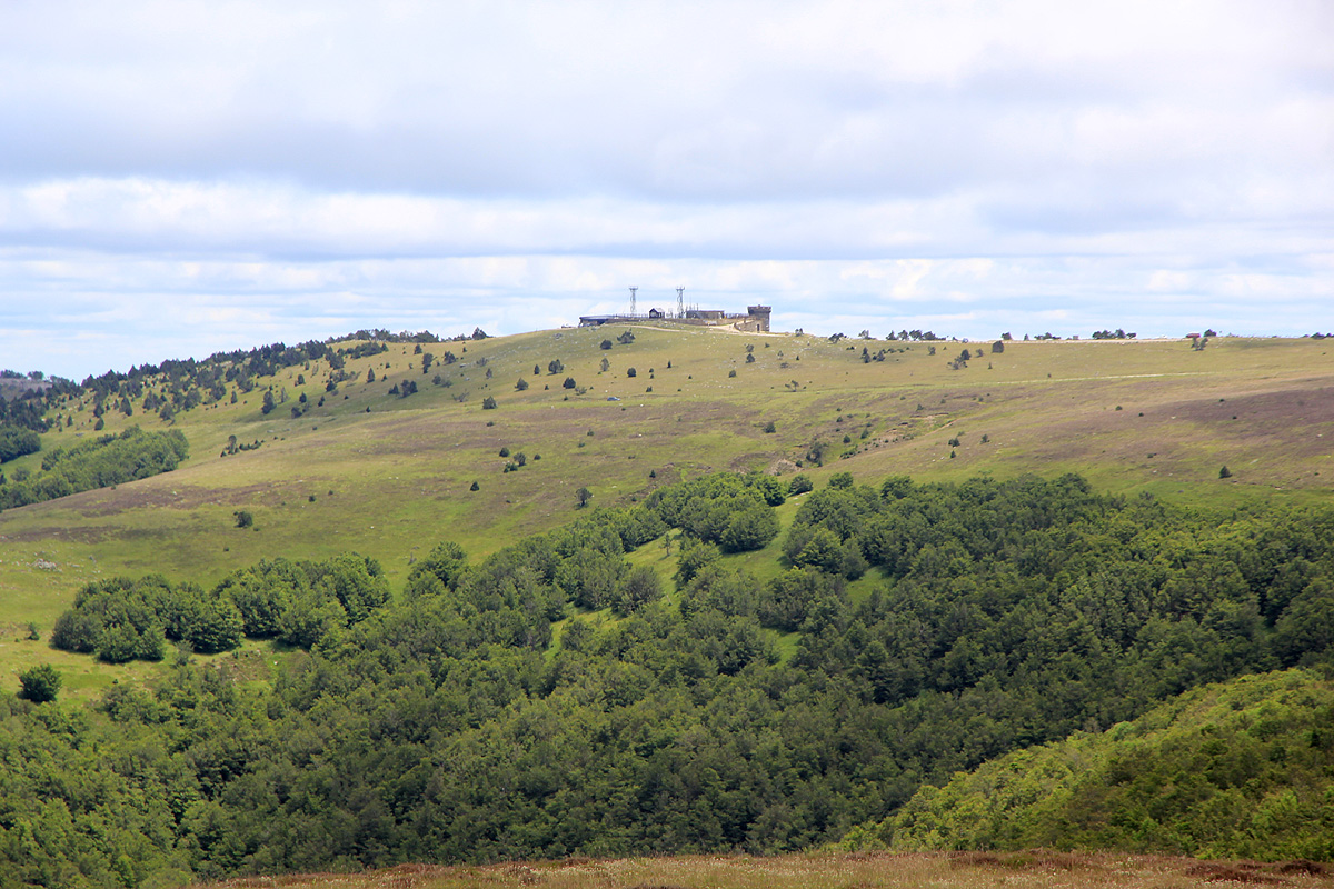
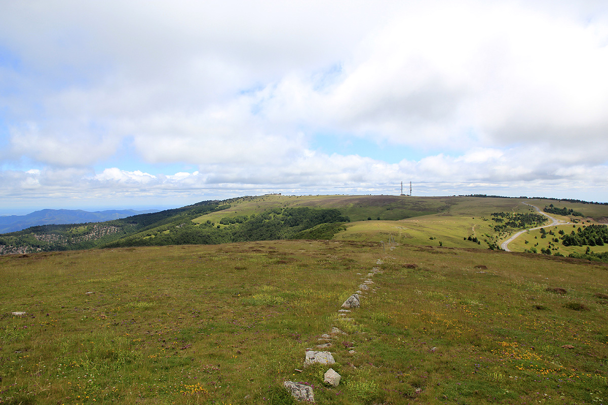
There are two summits. The first one has access directly
from the parking area. This is the tourist
visiting area. The actual highest ground on
this summit has been fenced in and holds a number of
antennas. One may however, climb a couple of steps next to the fence and stay on the highest ground.
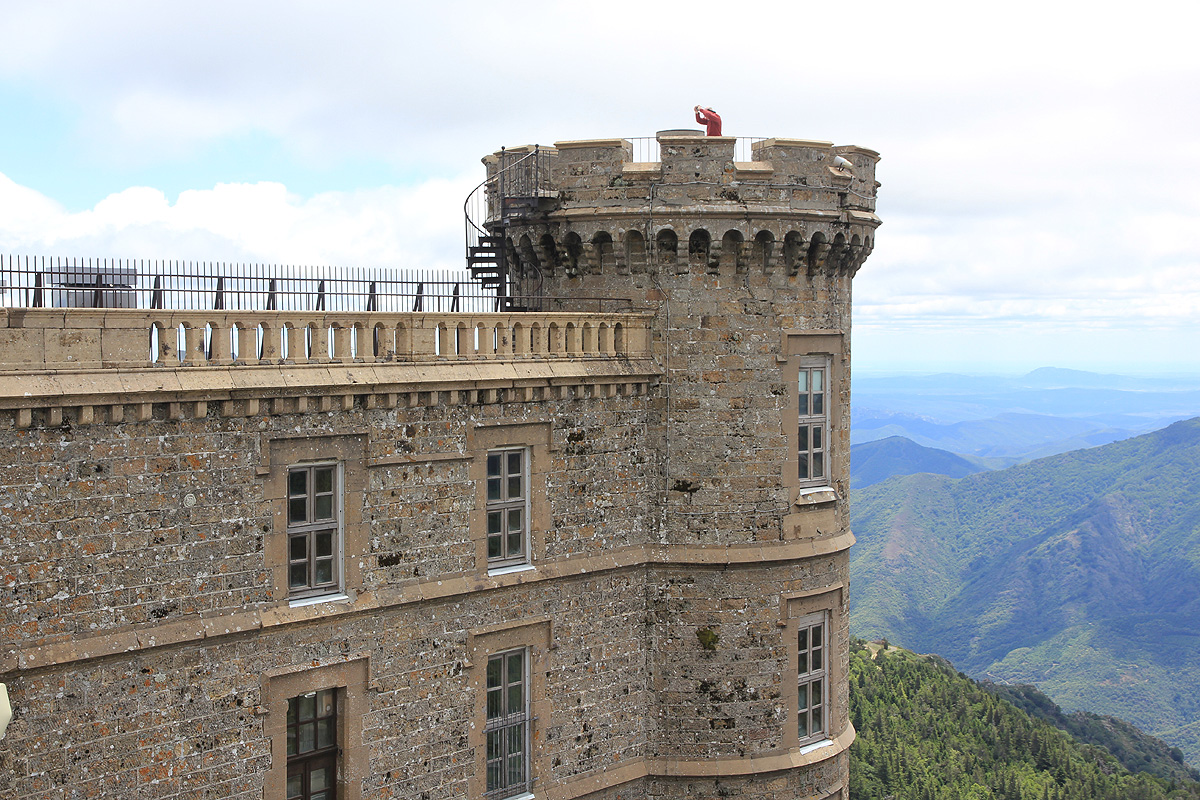
One can also follow a small walkway and climb a short spiral staircase to the top
of a small tower.
There is a viewfinder up there.
From this location, one may look down at the highest natural ground.
The other summit, the top of a grass hill, is
located 1600 meter to the north-west. It is an easy ascent
from the highway. This location is N44:07.971, E003:34.134, I measured an elevation of 1566 meter, too
close to call.
Comments:
We came from Mont Lozère and arrived around 1330. After a brief visit, we drove across to the
gras summit. The walk up there took about 5 minutes, arriving at 1405. We continued to
St. Raphael were we visited our neigbors Vibeke and Per.