Kilimanjaro
- Kilimanjaro
- 5895 m.
- Primary factor: 5885 m.
- Tanzania
- Highest in Africa
- Climbed October 1994

Kilimanjaro
|
|
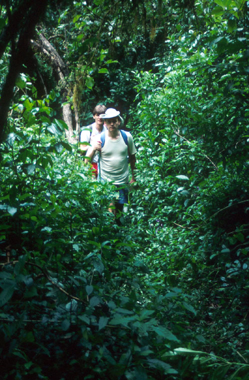
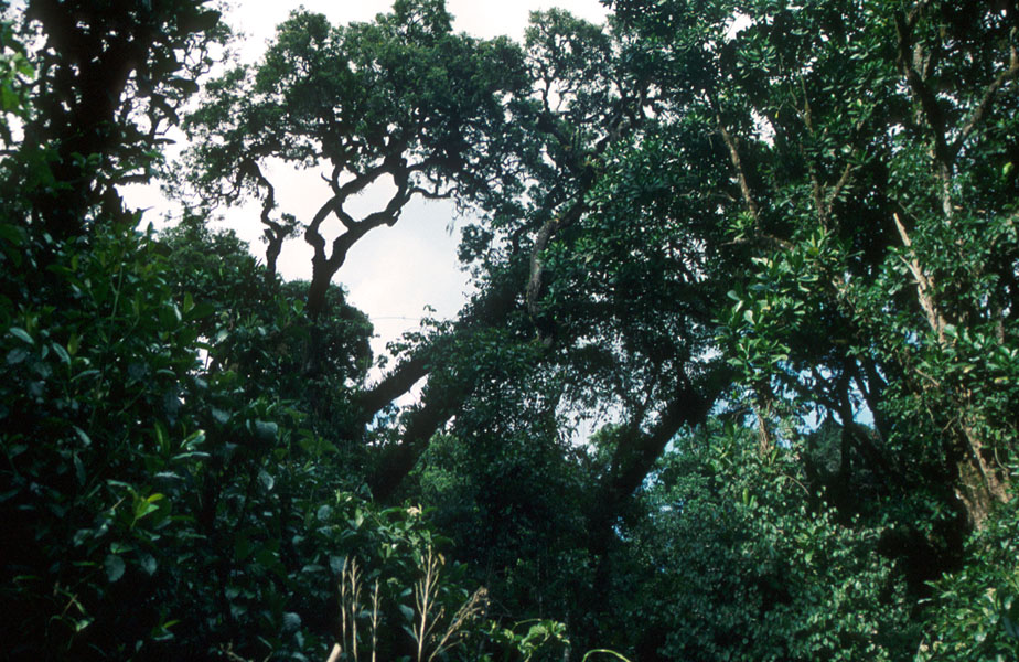
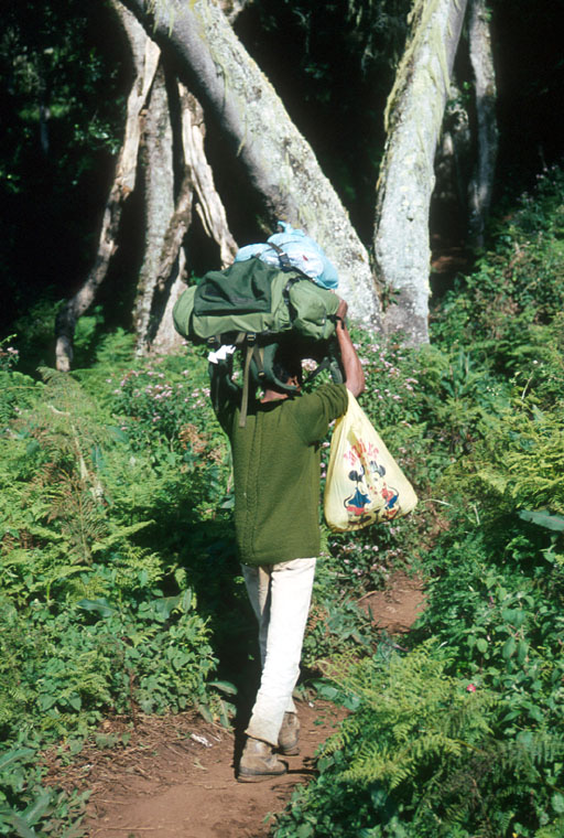
Day 1: from the park entrance (1800m) through dense forest
to the Mandara hut at about 2700m.
There are wild monkeys looking down from the trees.
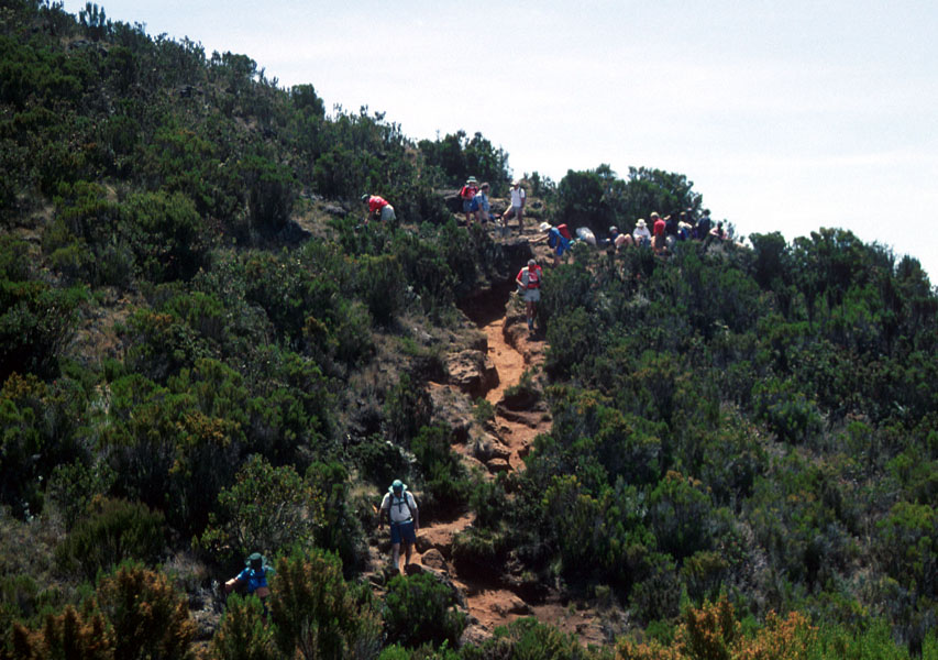
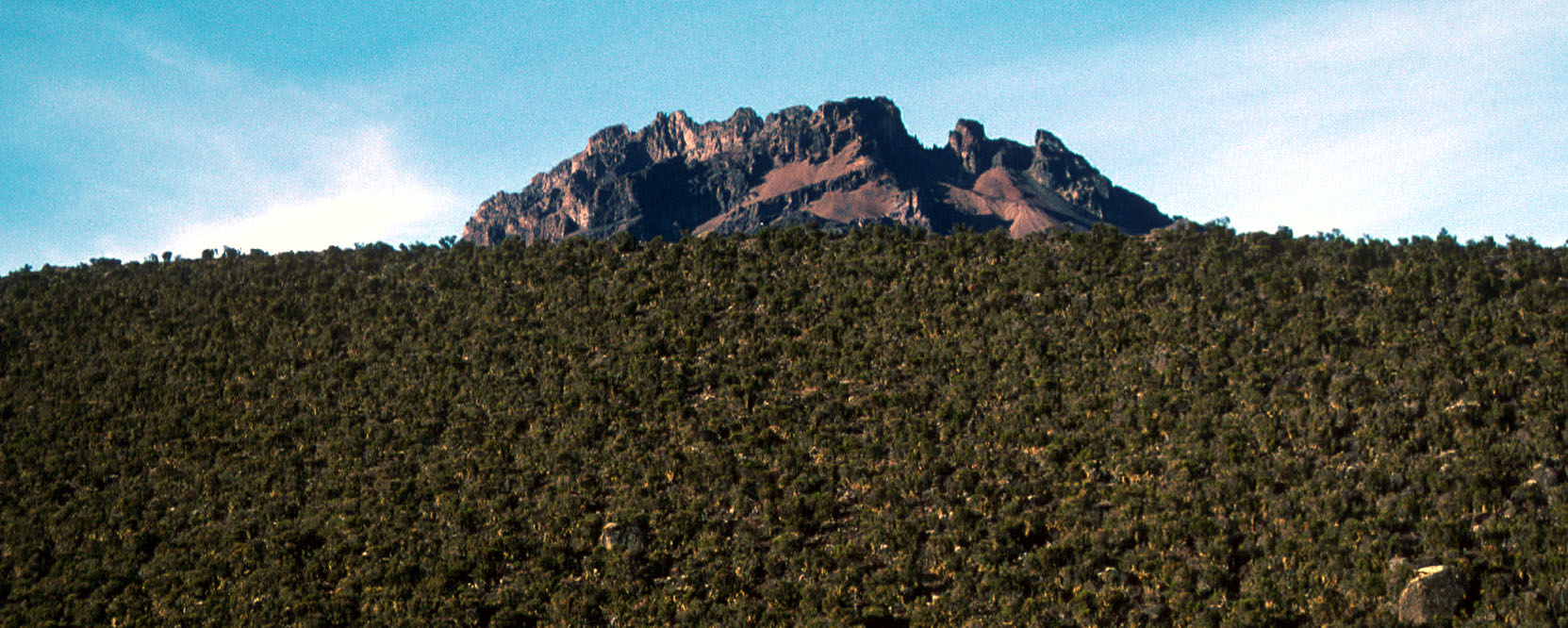
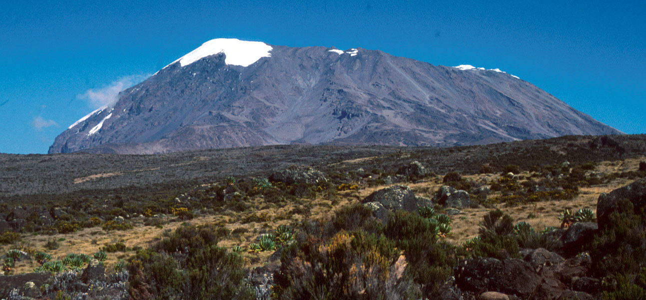
Day 2: continues out of the forest, where the first view
of Kilimanjaro appears.
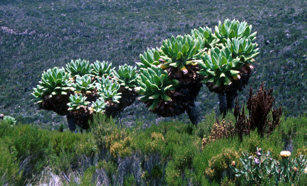
The trail climbs a bit more, you will pass
encouraging signs and high country interesting
plants and
flowers. The jagged skyline of
the lower Mawenzi also appears, already quite
a bit closer than our goal Kibo, the highest summit of Kilimanjaro.
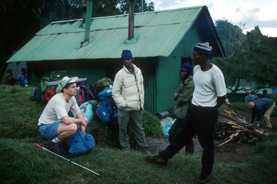
We catch up with
our porters and shortly thereafter arrive at
the Horombo huts at 3720m.
Day 3: is an acclimatization day.
At this elevation, the day starts with a very
nice sunrise and soon
Kibo is bathing in the morning sun.
I got a
"personal guide"
and decided to go for an acclimatization hike
towards the
slopes of Mawenzi.
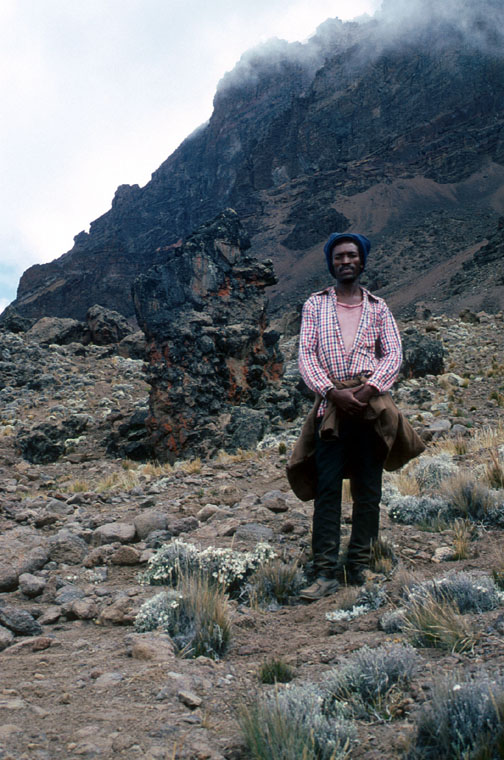
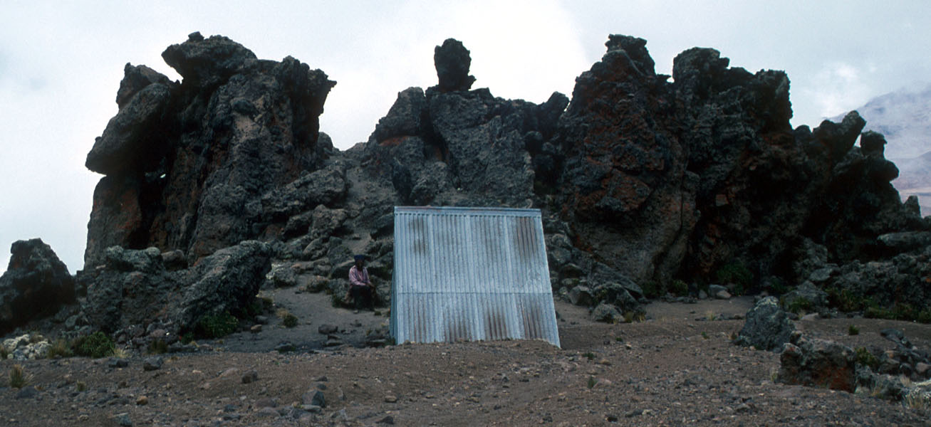
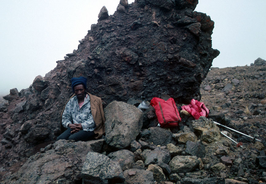
A short hike brings you to
the Mawenzi hut, a small shelter compared
to the huts along the route to Kibo. From here,
Mawenzi looks quite imposing.
The guide was first unwilling to go any higher quoting
that he had never been in the area before. Eventually, after I gave
him food and some warmer clothing, we proceeded
higher on the slope.
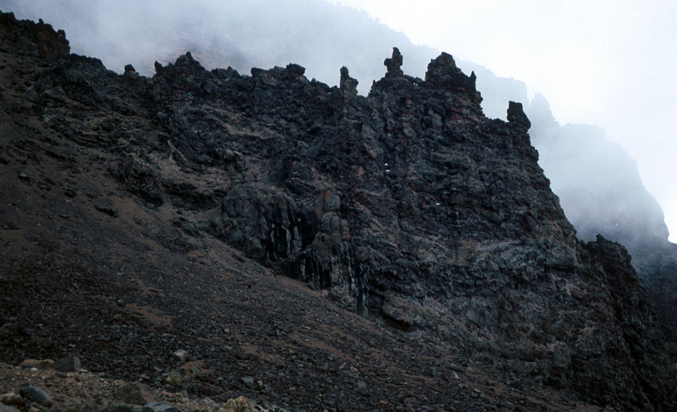
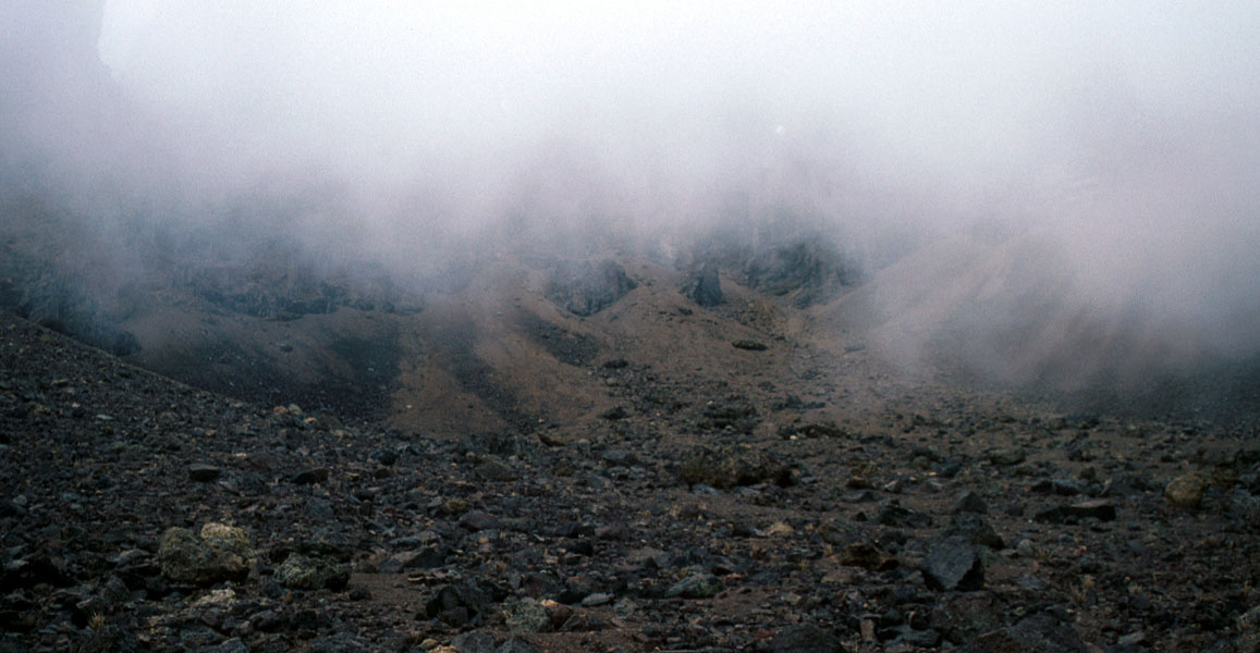
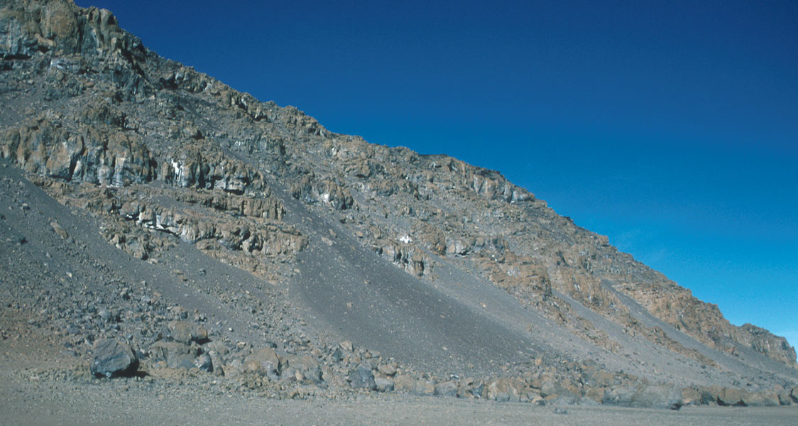
The rock is not good and unfortunately,
dense clouds/fog
moved in on us making further route finding very difficult.
We made it to some kind of saddle at about 4800 meter
before turning and finding a
rock suitable for a rest.
The top is known to be quite difficult (technical), but the trip was nice
and further improved my acclimatization for the subsequent climb of Kibo.
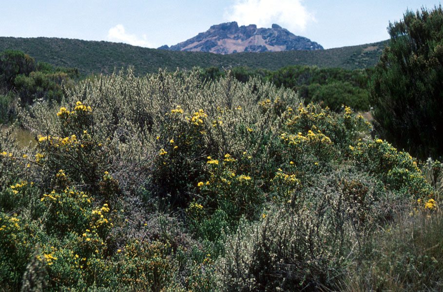
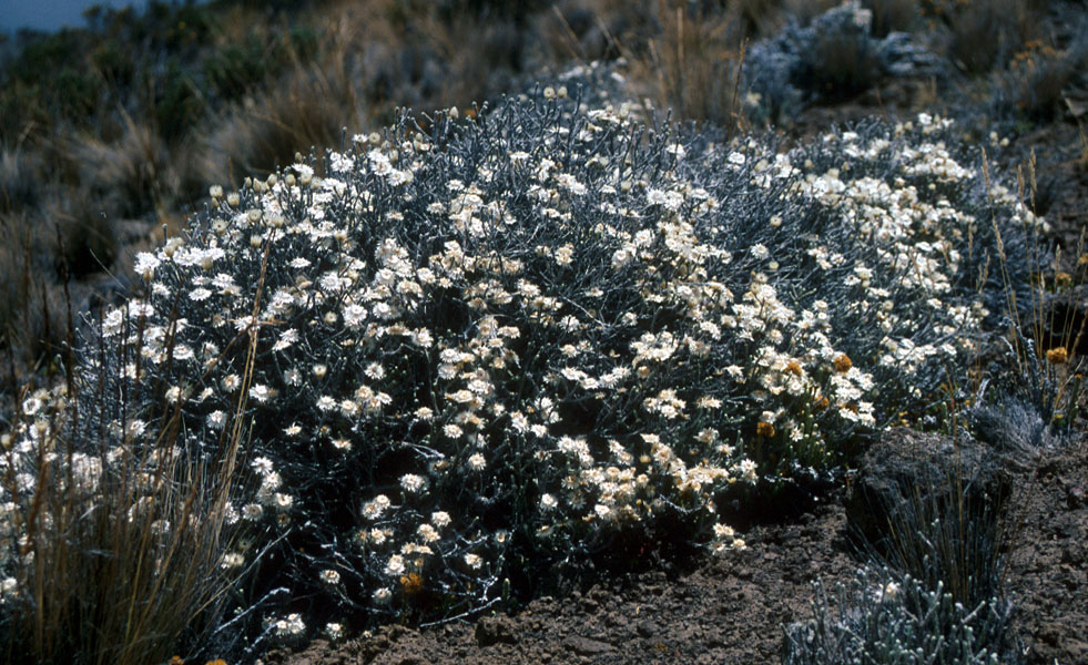
We returned to Horombo enjoying
the nice flowers
that somehow manage to grow in what otherwise seems like an arid and
inhospitable environment.
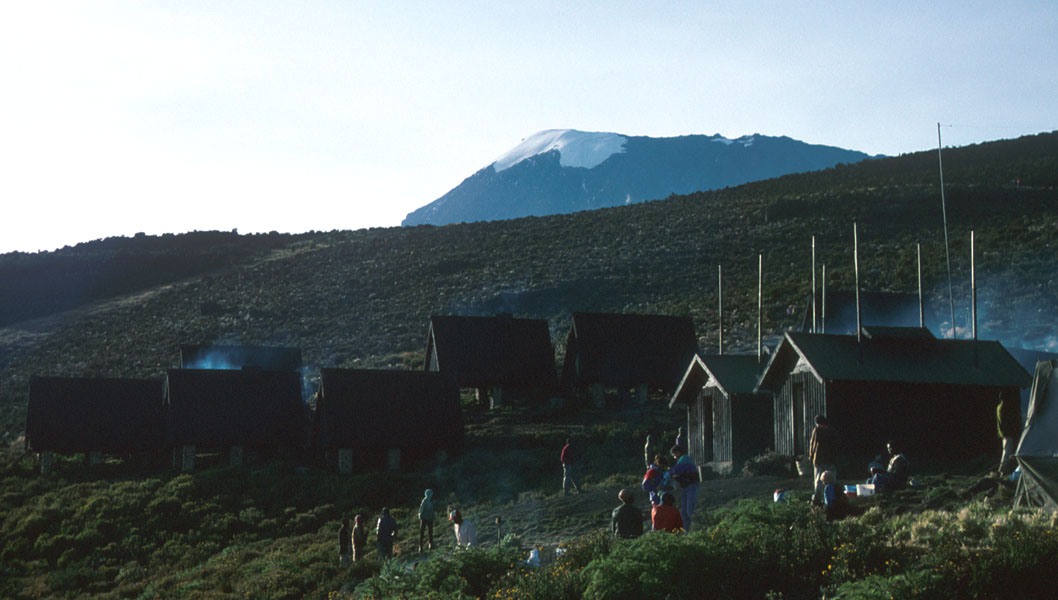
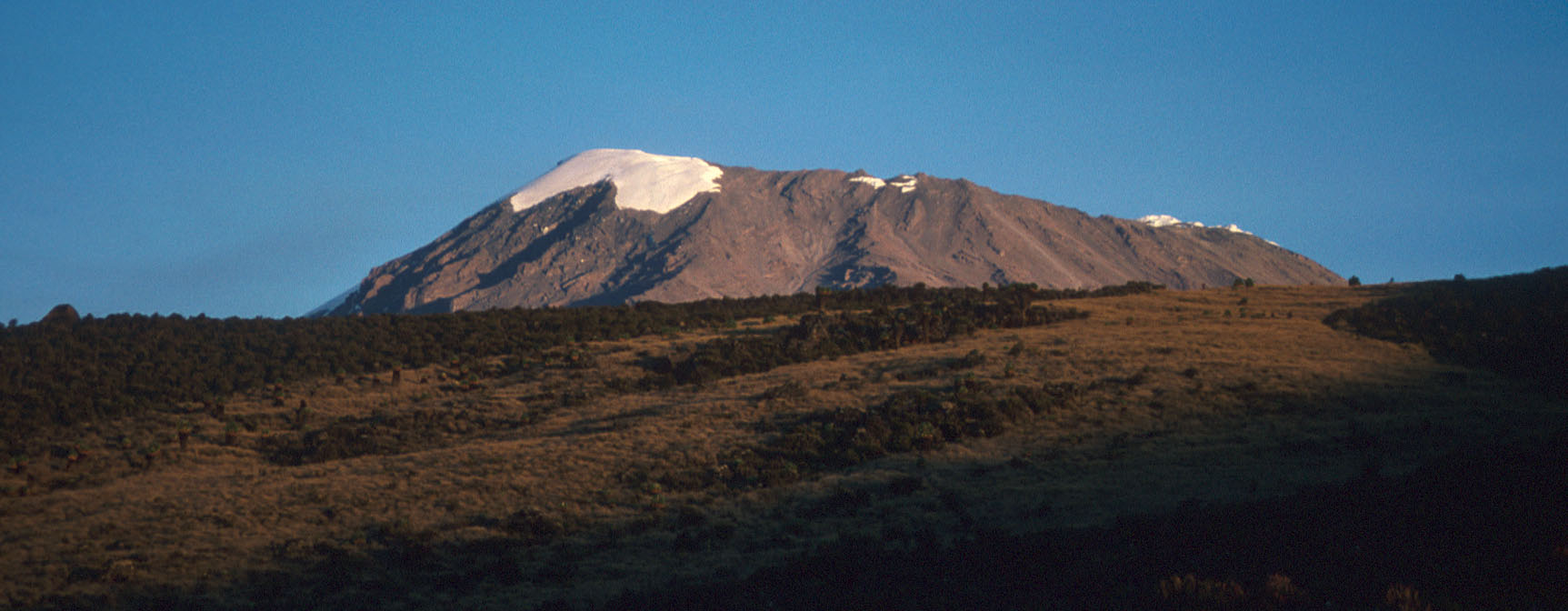
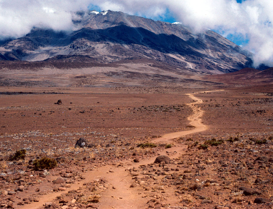
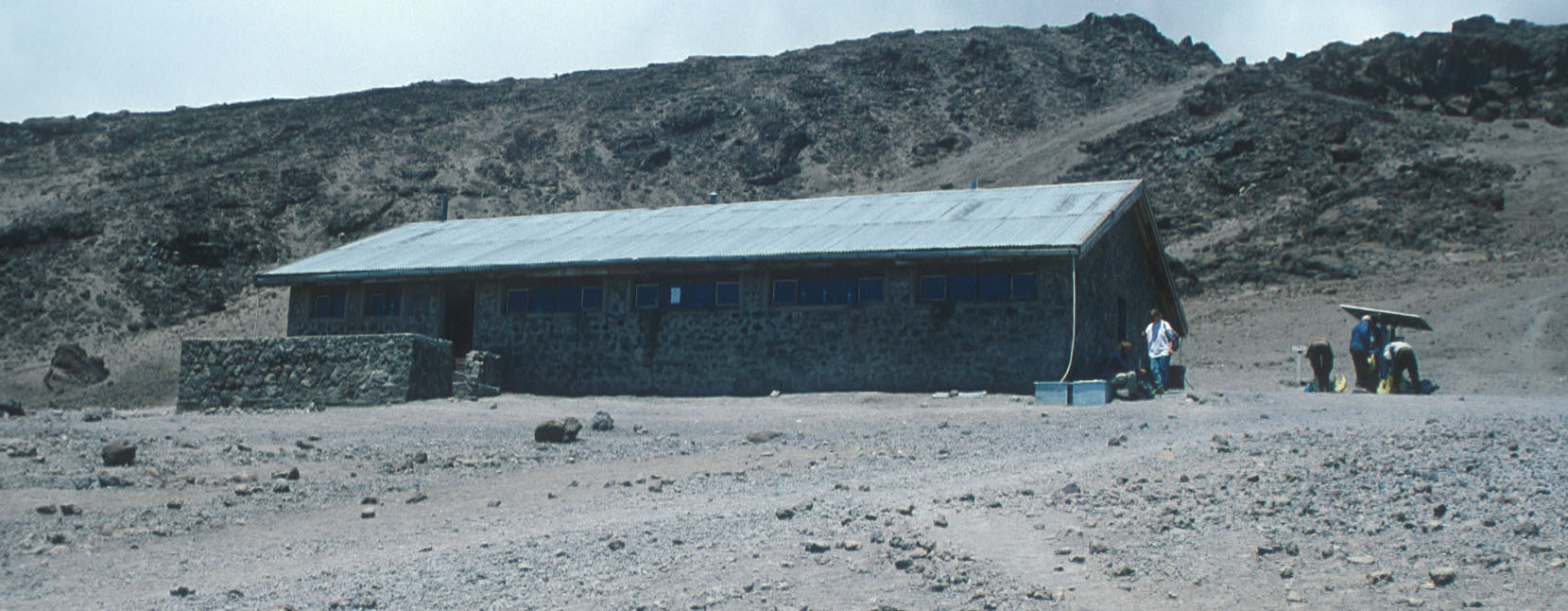
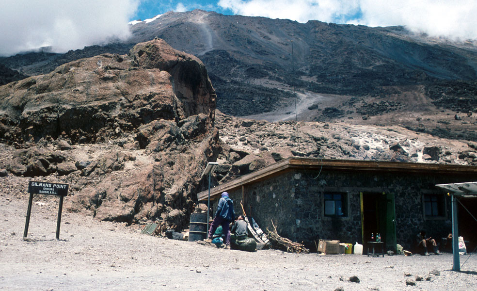
Day 4: Kilimanjaro looks closer, as if she expects a visit, when I start out the next morning. A bit to the right of some smaller patches of snow one can see a grey line extending down a long, wide gully. This is the main trail up to Gilmans Point on the crater rim. The trail to Kibo hut starts out pretty flat, then climbs a bit more towards the end before reaching Kibo hut (4700m). From the Kibo hut, you have a very nice view right across to Mawenzi where I climbed in the fog yesterday. The trail to Gilmans Point starts just behind the hut, the long gully with loose rocks can be seen higher up.
Day 5: Summit day. We started around 0100, the
first part is a long hike up in partially loose
gravel to Gilmans point (5685m) on the crater rim. There are few places with a more
brilliant sky, filled with sparkling stars than 5000 meter above sea level on Kilimanjaro
between midnight and the early dawn.
From Gilmans Point,
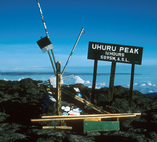
clockwise on the rim to the highest point
Uhuru peak (5895). I reached
the top at sunrise at 0600, it seemed that
most climbers would hit Gilmans Point around this time and normally arrive at
the summit around 0800. Notice how the sun is rising above Mawenzi and how much
lower Mawenzi looks from this point.
The summit, Uhuru Peak looked like
a local junkyard, why the sign says 1.5 hours is also unclear, must have
been moved. Hopefully,
somebody has made this place a bit more tidy since 1994.
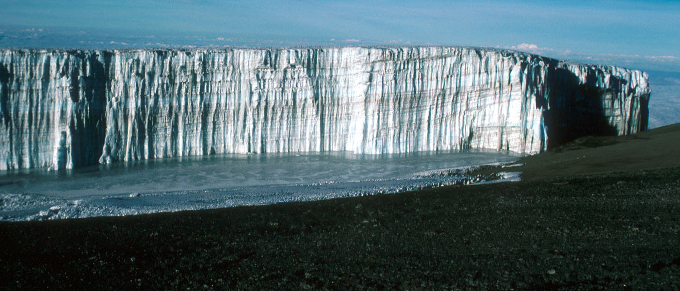
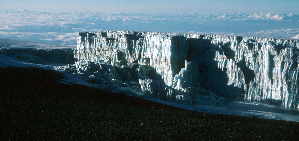
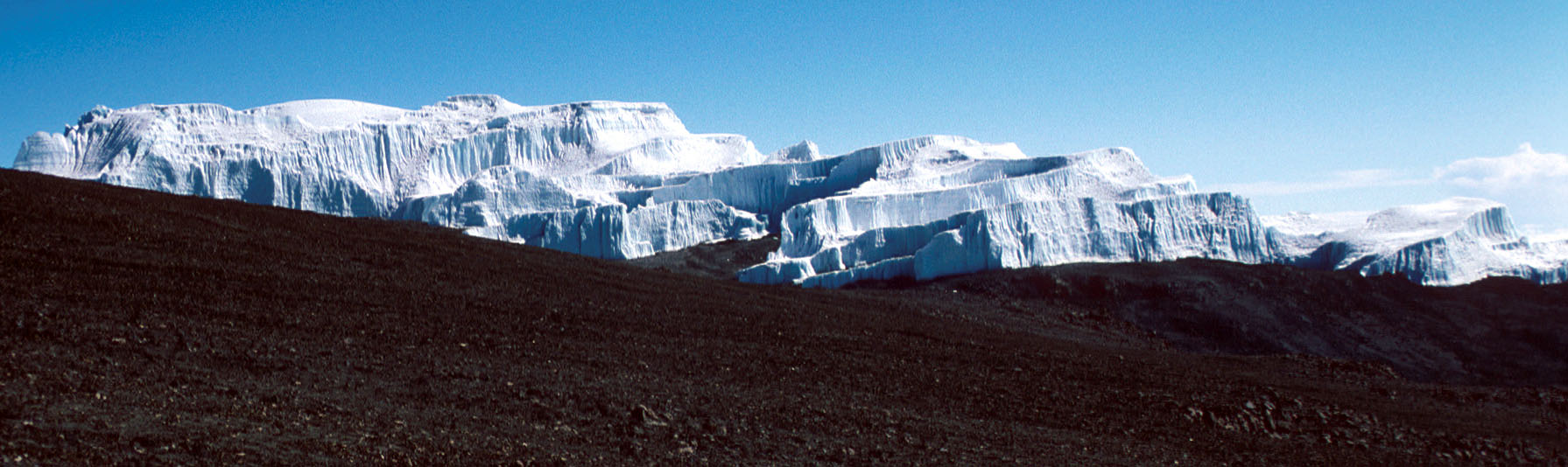
"The Snows of Kilimanjaro" (Ernest Hemingway, 1938), is actually very
impressive
ice formations.
They are quite different
from snow of ice I have seen in other mountain landscapes.
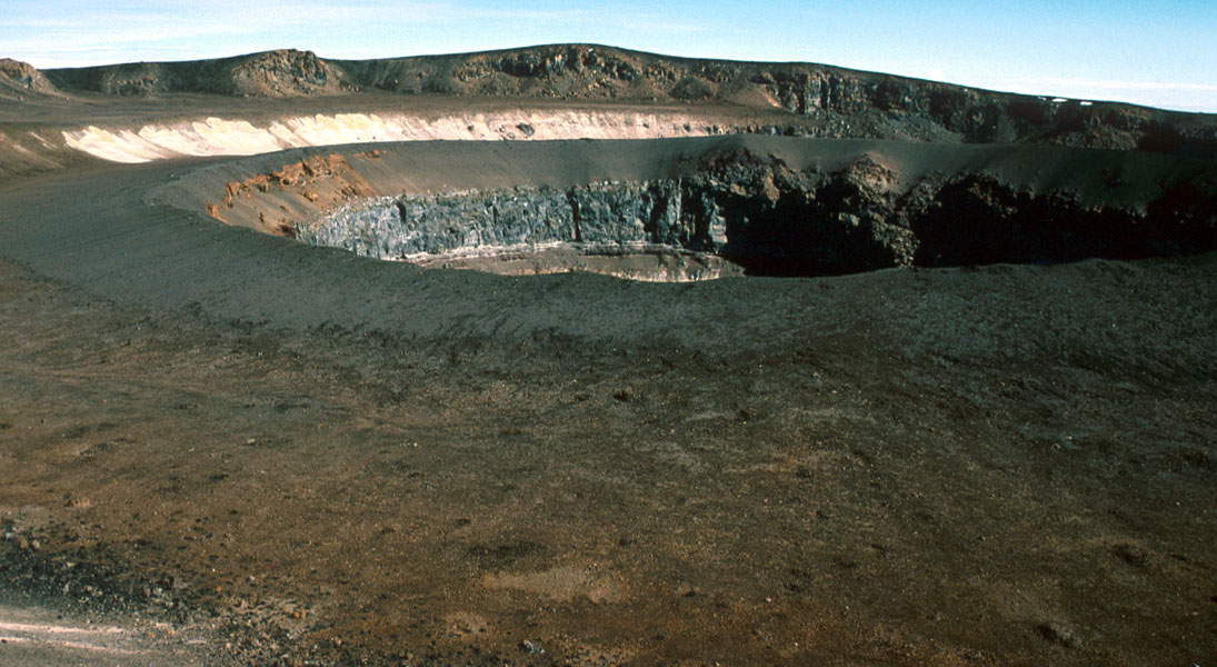
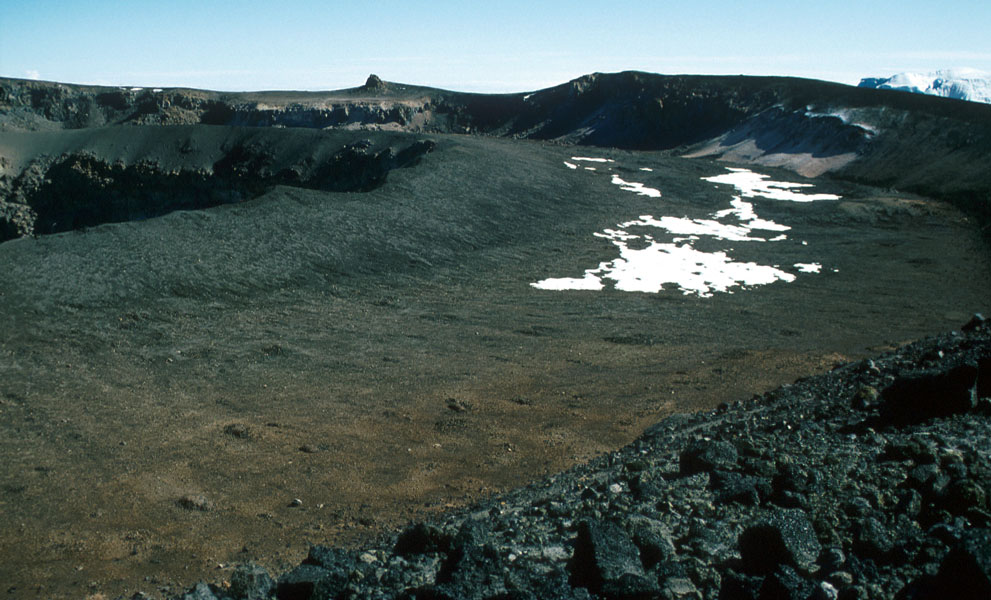
On the return
I hiked down into the crater proper and up on a smaller
cone with a
more recent crater inside it. Then back
up to Gilmans point (
a tough uphill after a long
day at more than 5500m!) The return hike to Kibo
hut is easy and one continues down to the Horombo huts
the same day. There is an alternate trail from Kibo hut
to the Horombo huts which can be recommended, it crosses
more directly towards Mawenzi (near the Mawenzi hut) before turning right.
Day 6: is an easy hike all the way down to the park entrance.
Comments:
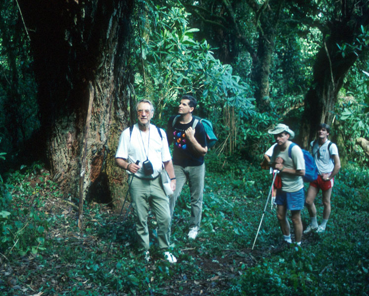
This climb is different from most mountain climbs. First, there
is the unusual luxury to have a porter carry your pack and a
guide doing the cooking. You carry your day pack only, the
porters do not go any higher than Kibo hut. Second, the climb takes
about a week and takes you from
dense tropical forest to the impressive
ice walls of the top glacier.
The summit is almost 6000m, the temperature
can be minus 10 Celsius or colder so bring warm and windproof clothing.
Third, the hike
inside the crater can be recommended if you are
well acclimatized, but this must be agreed upon with the guide in
advance or he may try to charge you extra for this service.
There is not a single place were you really need to use your
hands, it's an easy walk all the way
except for altitude problems that
seemed to affect almost everybody above 5000m. It is pretty clear that
a summit bid on day 5 is too soon for almost everybody.