Location North 19.18010, West 098.64150 (GPS on the summit)
Difficulty: YDS class 2
Climbed December 6, 2018
Information:
How to get there:
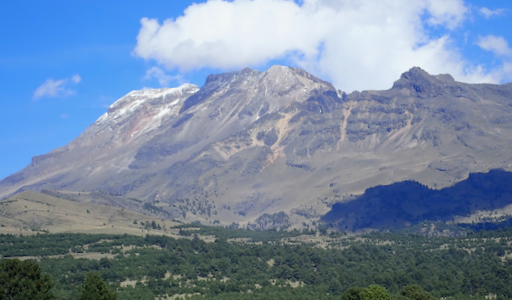
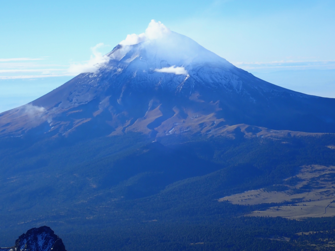
This big and world famous mountain is located about 50 kilometer south-east
of Mexico City. More precisely, travel south-east to the smaller town of
Amecameca. From here, a 25 kilometer road will take you up to Paso de Cortes, the
saddle between the volcano Popocatepetl and Iztaccihuatl. There is a ranger
station located at the very pass. The road continues down on the east side
of the saddle towards Puebla, but this is a pretty rough dirt road, while the road
up from Amecameca is paved all the way.
One should register at the ranger station and pay a nominal fee for accessing
the mountain. A smaller dirt road starts from the same saddle heading towards
Iztaccihuatl. There is a smaller builing on its right side and a gate that
is closed, but (most often?) unlocked. In times of busy traffic there is a man
in the small house checking permits and controlling the gate.
The dirt road is rough and rather bumpy, I would prefer a high clearance vehicle
to drive it, however normal cars seems to make it as well. Drive this road as it
gains elevation and winds its way closer to the mountain.
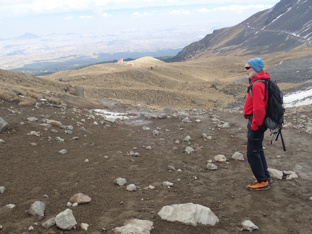
The trailhead is called La Joya and is located
approximately 5 kilometer north of the main saddle, the road leading there
is about 8 kilometer long. You will pass a pretty
distinct hill with antennas and a large building on top, this is left of your
driving route, with a side road serving it. That place is called Altzomoni.
Sometimes climbers have been able to stay there, when we asked at the ranger
station they just said it was closed. The very last part of the road descends (left)
to a large parking area. This location is N19.13353, W098.65172, elevation about
3970 meter. One csn camp here and also leave the car overnight if spending a
night on the mountain. One will often see other cars/people at
this place, at least a few people
seem to visit almost every day.
Route description:
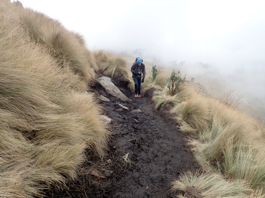
From the parking area,
take the trail that
continues onwards, do not descend on a trail that
forks left, but take the trail that branches right
and climbs steeply. You will clearly see this trail
first climbing then contouring higher up with tall
grass on either side.
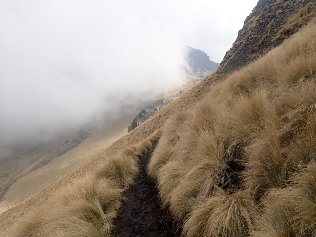
The trail will continue to climb as it
traverses the hillside,
finally reaching the crest (Pass 1) at location N19.14265, W098.64191, elevation
about 4250 meter.
Descend slightly at the other side, then continue to climb uphill, soon reaching
pass number 2 at location N19.14513, W098.63941, elevation about 4390 meter.
From here, the trail climbs less steeply and the trail surface is generally less
rocky as the route continues its gradual climb
to pass 3, location
N19.15019, W098.63612, elevation about 4540 meter.
Again decending just slightly,
the trail now climbs on the right hand side of the
crest, gradually steeper, then turning directly uphill. If you turn left late,
then there is some easy scrambling, turning uphill a bit sooner will avoid this.
The route gains pass 4,
at N19.15466, W098.63754, elevation 4710 meter, then
continues uphill along the crest to reach its highest point near elevation
4740 meter, before descending across a
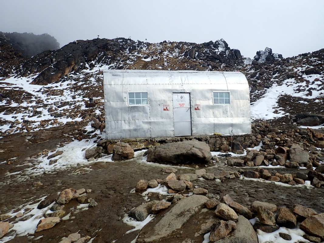
saddle to reach the small refugio (hut),
called Grupo de los Cien at
location N19.15669, W098.6371, elevation about 4705 meter.
This hut is quite a good (but high elevation) place to break the ascent into
two days. There are a few thin blankets, however you should bring your own
sleeping bag and mat. The hut is used permanently by some mice, so any food
should be left hanging from one of several beams.
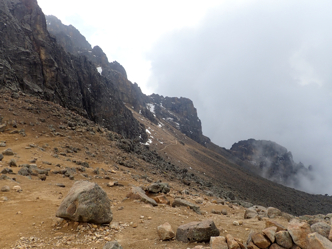
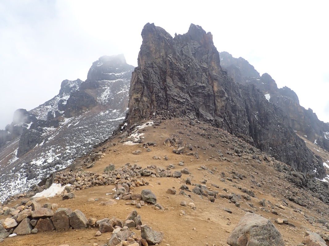
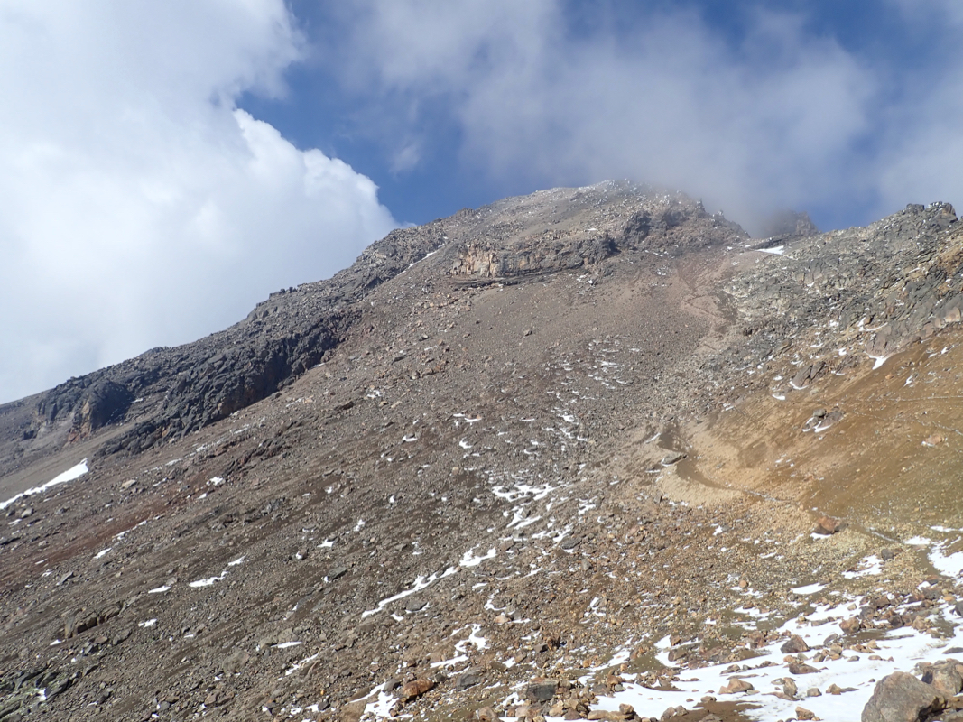
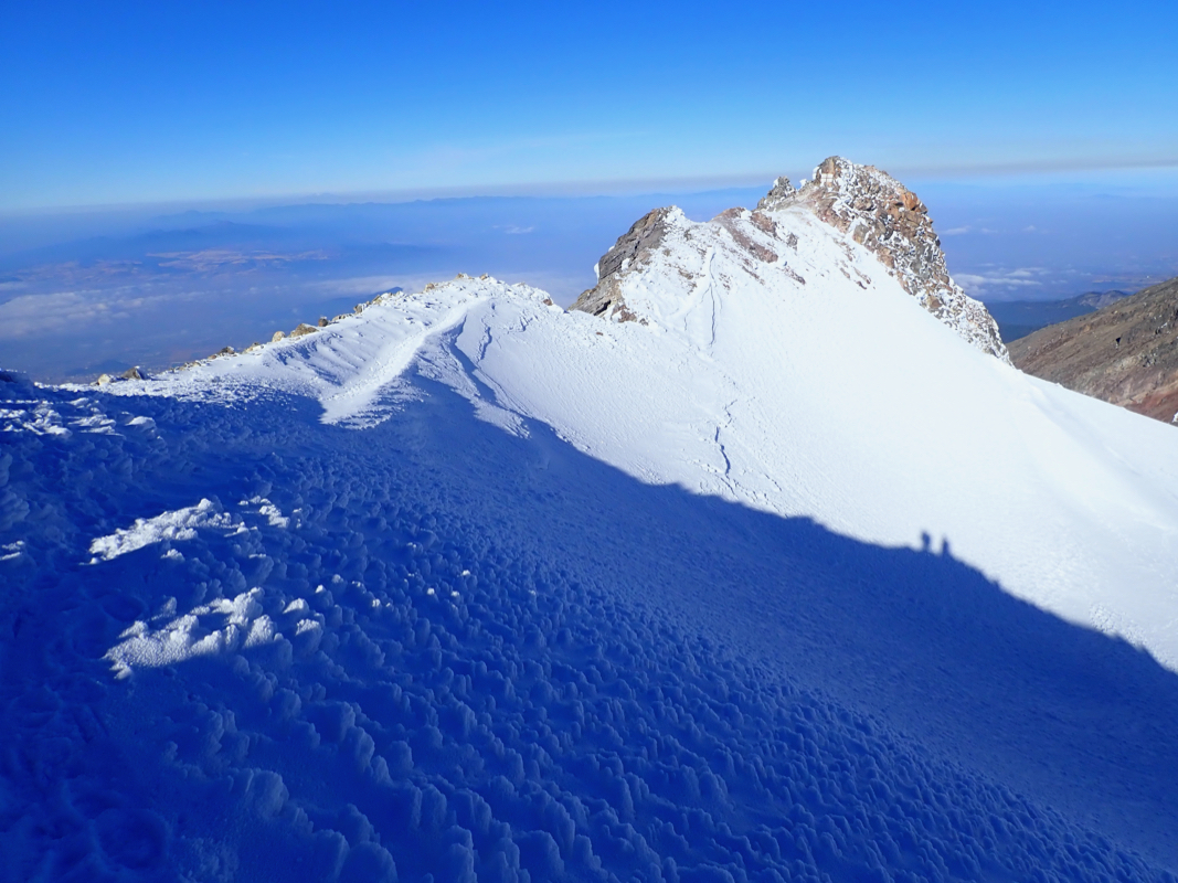
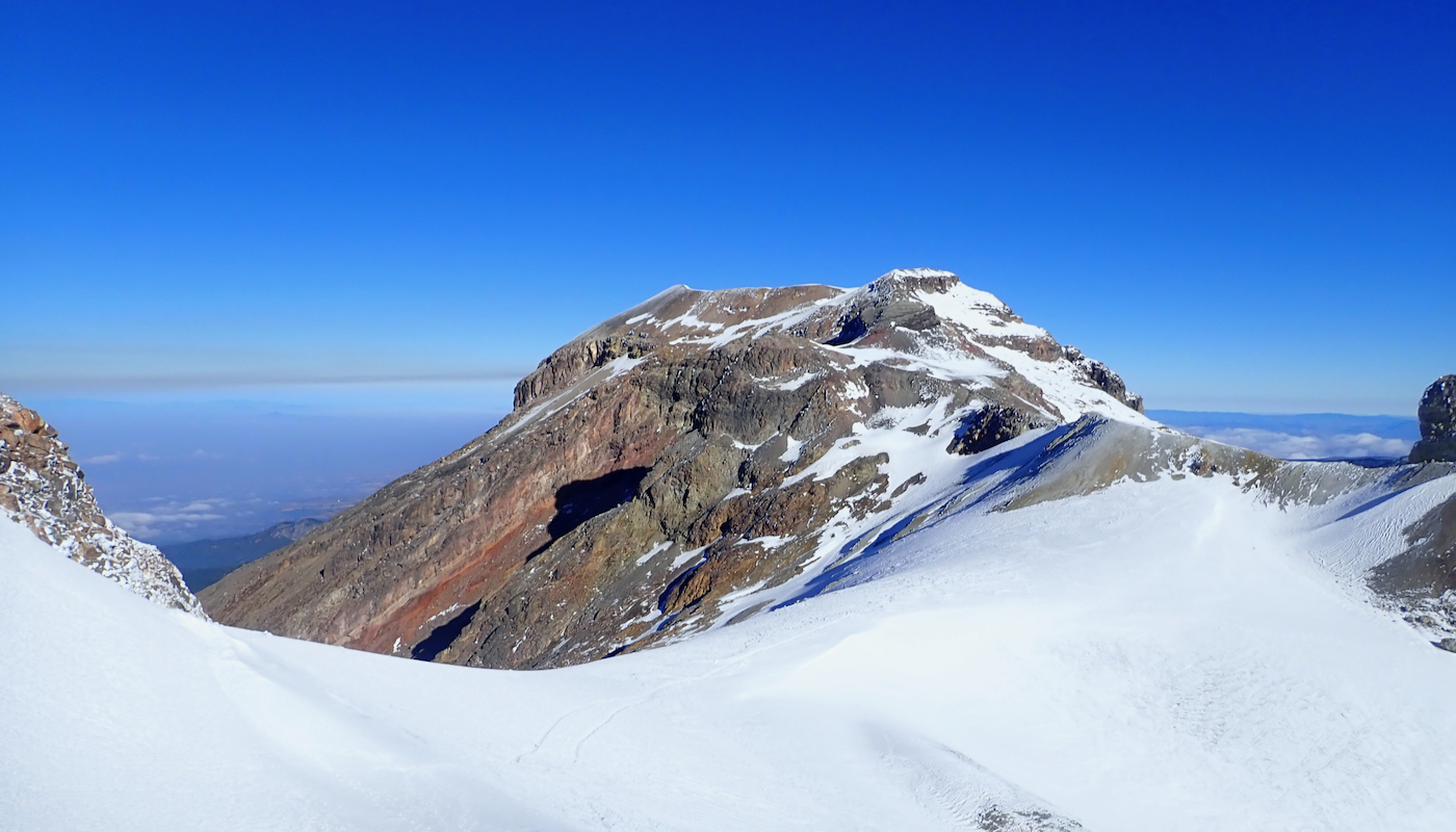
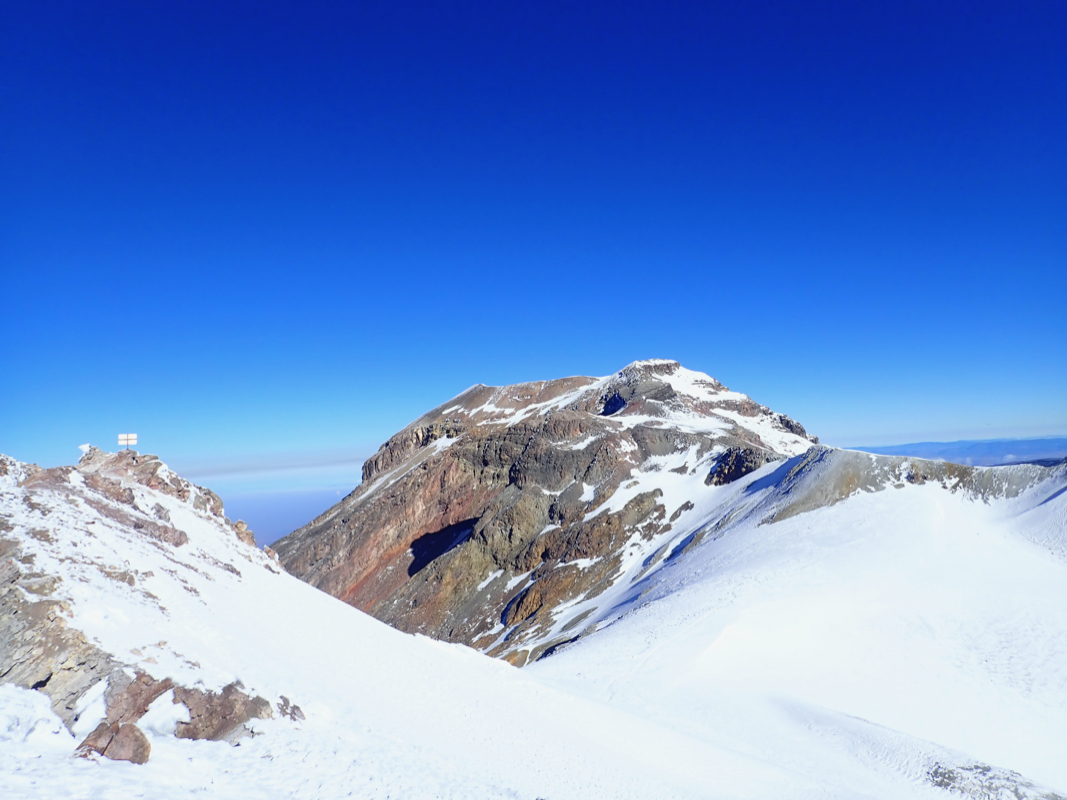
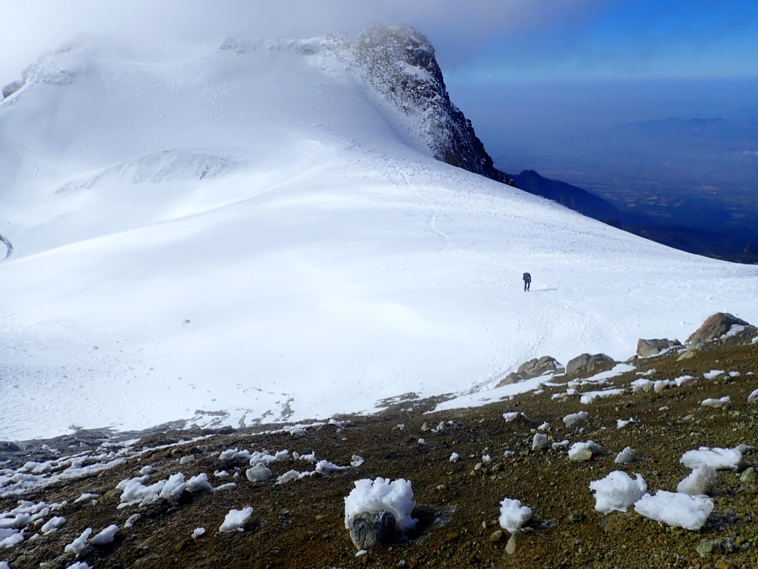
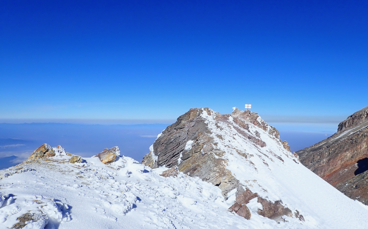
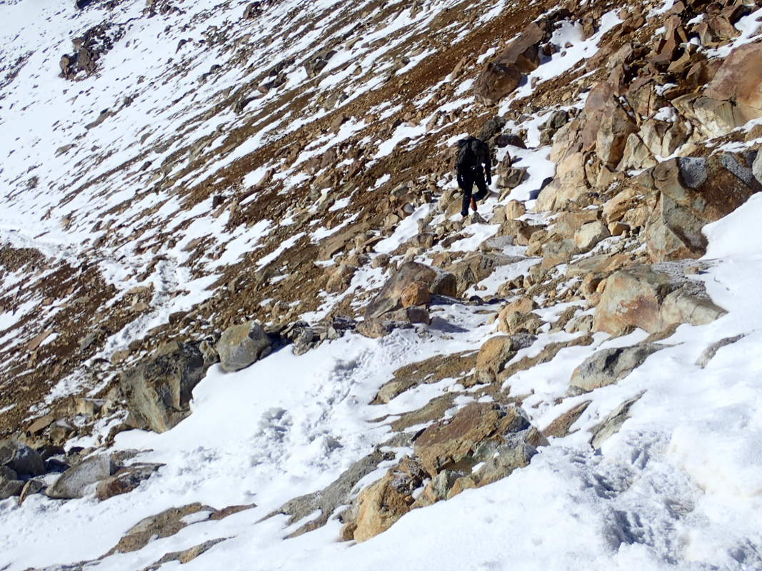
The next section of the route is a 300 meter vertical ascent up a slightly steepish
hillside starting directly beyond the hut. Here, the trail splits into two
alternative routes, ascending left or right of some cliffs that are
easily identified in the middle
(see picture). The right hand side route
ascends up scree between larger rocks, then climbs an easy gully to reach
higher ground, then continues the ascent to the local top of the ridge.
The left hand route traverses the slope (well below the cliffs), then turns
more uphill climbing a wide, scree gully, then reaching the upper face that
extends directly to some broken metal
structures at the very top of the hill.
This location is N19.16239, W098.63714, elevation near 5050 meter.
One should note that both routes are steep enough for rocks to bounce
down-slope. Some natural rockfall occur due to temperature variations
and the sun melting frozen soil that then might release a rock. More
frequent rockfall may be caused by climbers that inadvertently (and sometimes
quite unavoidably) may release single rocks that will bounce downhill.
My guess is that the left hand route (as seen from below), may be somewhat
more exposed to this danger due to the quite long and fairly well defined
gully. Climbers should avoid having other parties above them on this route and
a climbing helmet is strongly recommended. Objectively, this is the only
section of the route that may be dangerous.
In order to continue, first descend slightly to your left, bypass a smaller
cliff, then descend a bit further to a local saddle.
Next, ascend a slope (on the right side)
to continue the ridge, then another ascent will get
you to the crest with
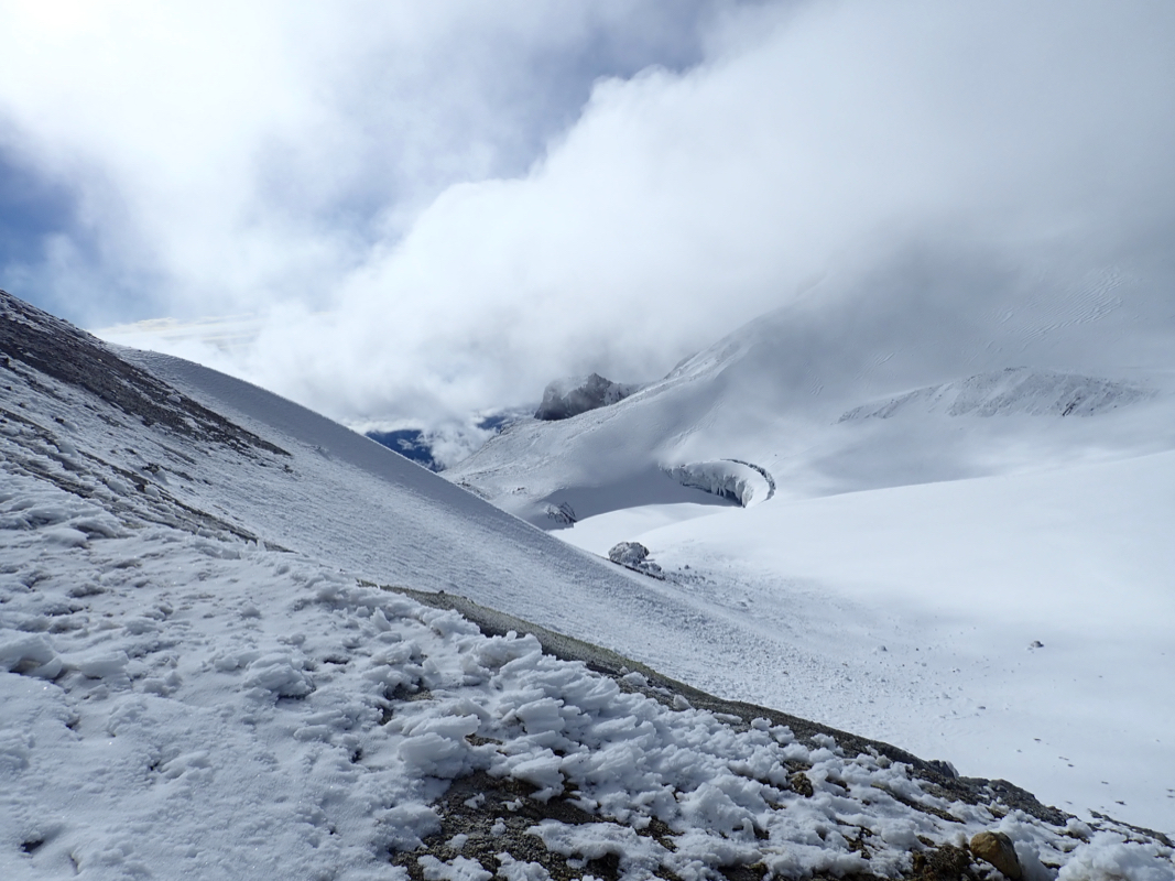
a small glacier below.
From here, one can easily outline most
of the remaining route.
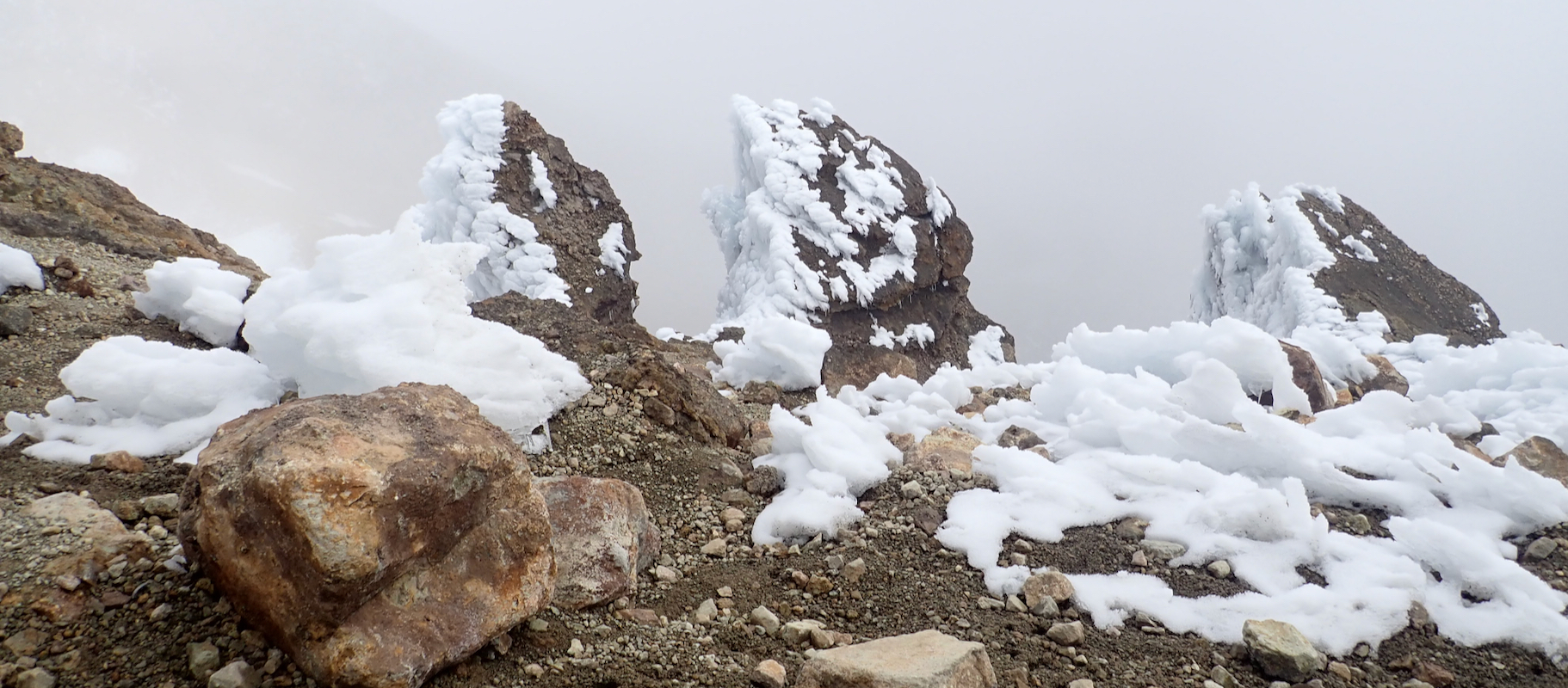
Parties should use crampons
here (unless the snow is soft), descend an easy slope to a snow shelf, then
traverse (heading left) while
completing the descent to the glacier.
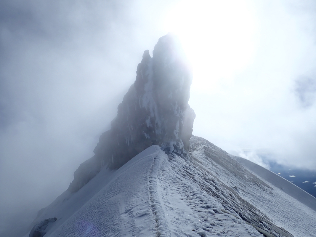
Cross this glacier and make
a short ascent to gain the ridge
just left of
a steep pinnacle. This location is
at N19.17097, W098.63795, elevation
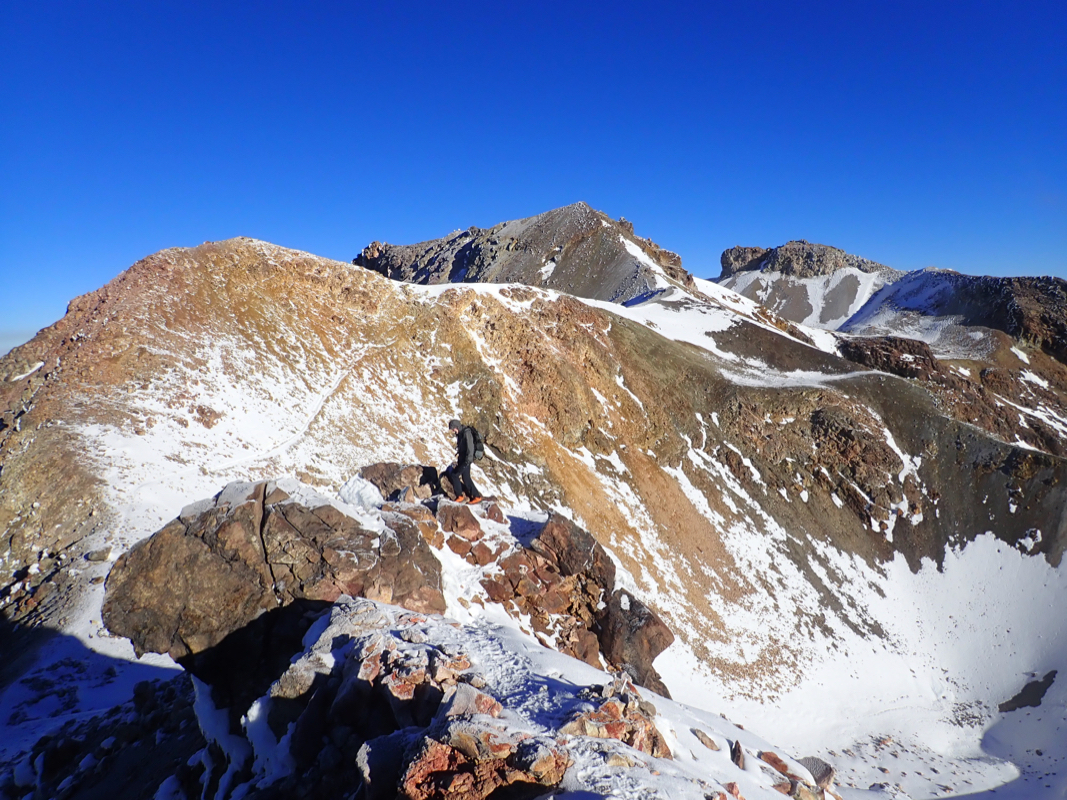
about 5085 meter. Follow the ridge,
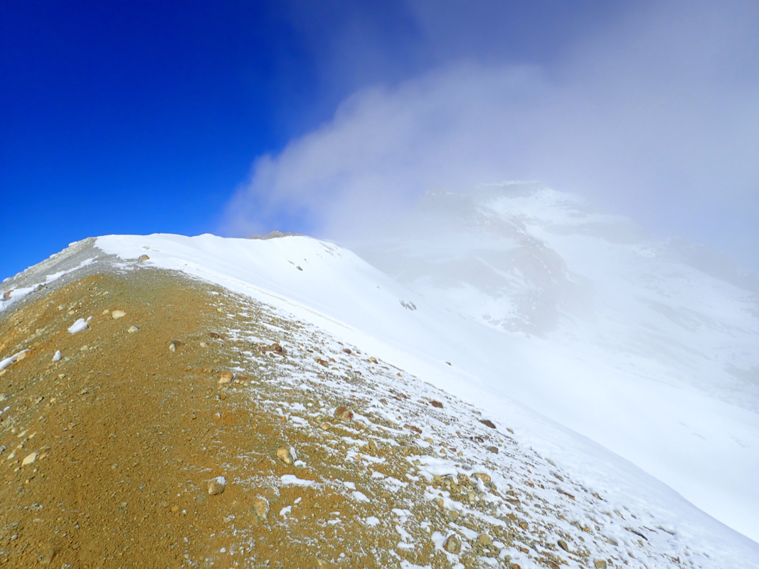
then ascend a slope that narrows to
a more distinct ridge, also getting slightly steeper. Continue uphill, then
traverse a bit to the right side as the route contours left in order to
gain a small (false) summit. Descend slightly from this summit to a local
col, then continue along easy ground uphill to reach the south summit.
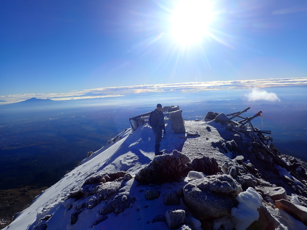
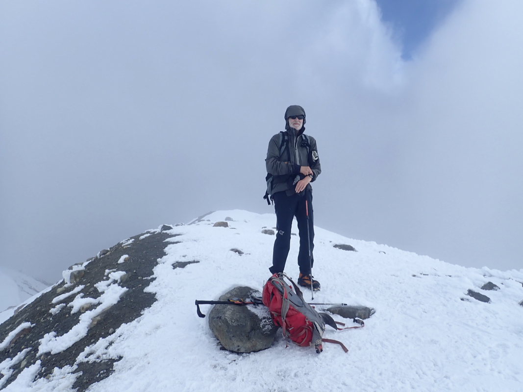
The summit plateau consists of a small, fairly flat glacier with three
distinct higher points or ridges all of quite similar elevation, exceeding 5220 meter.
From the
south summit, one may quite easily follow highest ground north-west to
gain the west summit point located at N19.17732, W098.64381.
Next, returning towards the saddle connecting
the west summit to the south summit, one may cross the small summit glacier
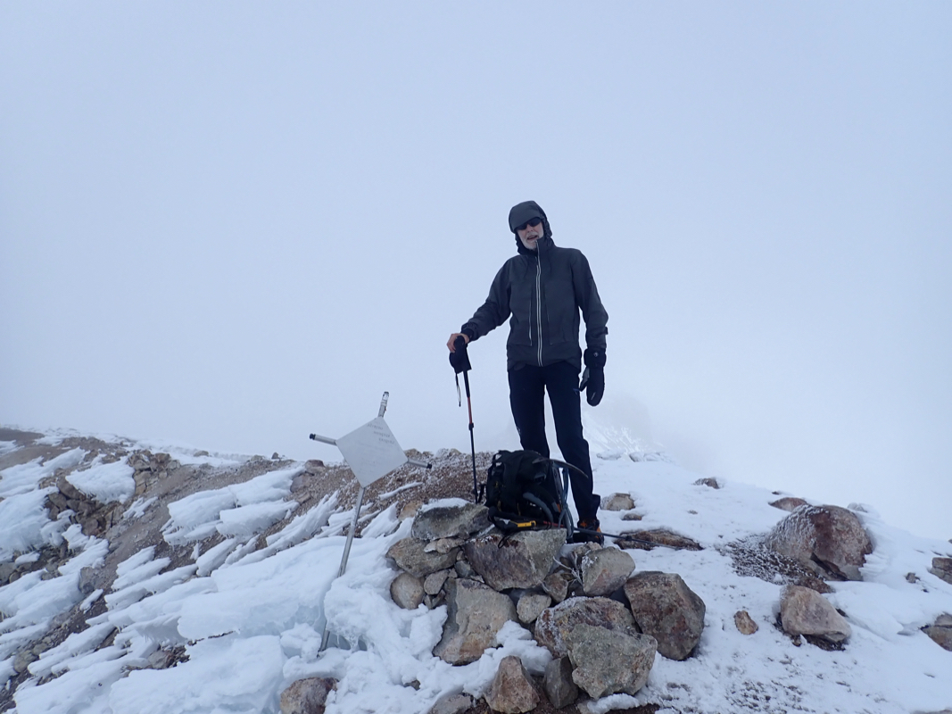
to the north, arriving at the base of the north summit ridge that contains
three humps, the rightmost (ie. at the east end) being the highest. This
summit point has a metal marker. This location is at
N19.18010, W098.64150, elevation near 5228 meter.
Comments:
I did this climb with my friend Sverre. We drove up to the Paso de Cortez
before noon, having obtained our permit at the ranger station (located at this
pass) 2 days earlier when we drove across this saddle.
There was nobody at the gate, but being unlocked, we continued up the quite
rough road that connects from the pass to the trailhead called La Joya.
We started hiking at 1225 and had
a pleasant walk uphill via the 4 passes, arriving
at the refugio at 1500. Nobody there, as we made ourselves comfortable at the
second level to the right hand side. We had a light dinner meal, then went early
to bed, this was the highest we had slept for quite some time.
I woke up at 2100, pitch dark, as two Mexican climbers entered, quite a surprise as
we expected no parties to arrive this late. They told that they had left the
parking at 1430, so more than 6 hours to reach the refugio. Unavoidable
noise as they prepared a meal, but eventually the hut became quiet. I next woke
up around 0300, alarms were going off with the Mexicans. After some hectic
activity, the hut was again quiet, I assumed that they had left for the summit.
Waking up around 0600, I noticed that the two Mexicans were still at sleep, quite
a surprise. Next, three Russian climbers arrived. We had met them the
day before, descending to the trailhead after a short acclimatization hike.
They had started around 0200 and took a short rest in the hut before starting
up the big hill.
Sverre and I had breakfast, organized gear, put all food in a bag secured
from the mice, then left at 0655.
I had decided that the left route was likely easier and we had a report
from a father/son (Americans) team that we met the day before, that the
scree would be frozen in the morning. My only worry was rocks, it turned
out that the Russians had made the same choice and they were now above us.
Fortunately, we caught up rather quickly. The hill is long and quite hard
work to ascend, the scree was indeed quite stable and our progress was
good. The upper section was more frozen and I did, unfortunately, send
a couple of smaller rocks bouncing down-slope. Shouting "rock" to warn
the Russians, nothing bad happened, but the incident demonstrated the
potential danger of this route.
We topped out shortly after 0800, taking only about one hour, good progress indeed.
The weather was gorgeous and the views impressive all around.
We continued along the
very scenic route
and made a stop to eat and drink on the snow ridge just beyond the
glacier, next to a very characteristic pinnacle.
The time was only around 0900, no worries, we both felt quite fine. We arrived at the
south summit at 1000, together with the
clouds, thus pretty dense fog would now
be with us the next several hours. We headed across looking for the north ridge, it suddenly
appeared and we were there by 1020.
We traversed the entire ridge with 3 humps,
then headed
back into white-out looking for the west summit. Again, a hill appeared out of whiteness,
an easy ascent and all three summits had been visited. Thus, after several short
breaks we headed back down from the south summit at 1100.
We met the Russians near the base, well before the glacier. They looked tired, but I assume
that they at least would make the south summit.
Next, almost back at the final saddle
before the big scree hill, we encountered the two Mexicans. They were clearly too late
to summit, as they rested when we passed. The descent back down the wide
scree gully was easy.
The very fine sand/scree had melted more and made for a quick
descent. We stayed togehter to avoid any rock issues, but still released quite a big
one that hit me from behind, fortunately, still with little energy before
picking up speed. We returned to the refugio at 1240, so about 5:30 including about one
hour in the white-out at the summit plateau. We rested and had a good lunch meal before
preparing our backpacks, then leaving at 1330. The final descent was easy, reaching
our car at the parking in 1:20 at 1450.
We next drove back to Mexico City checking in (two nights) at a hotel near the airport. We had
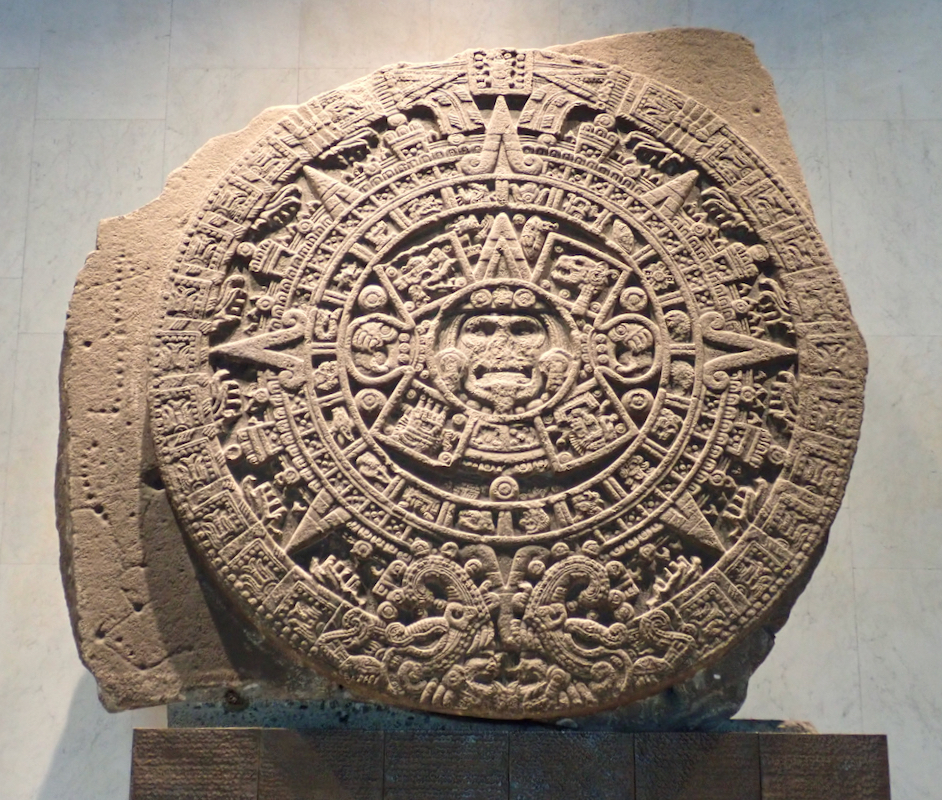
Friday as a reserve day. We took the subway to visit the well known museum of
antropology,
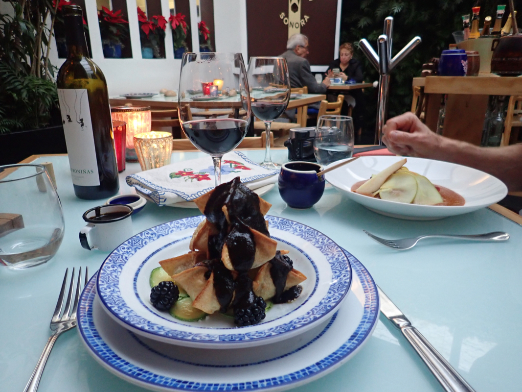
Heidi and I were there some 40 years ago. Afterwards, we walked to a nice
Mexican restaurant where a 3 course dinner
concluded what had been a very
successful week in Mexico. Big thanks to Sverre for excellent company!
Quite by chance, we had ascended to the refugio on December 5th. - my last day
at age 67. The morning of our ascent was my 68th. birthday. Thus, our very
nice ascent of Iztaccihuatl became my great 68th. birthday gift.
It also concluded a year with many memorable trips, I had climbed a record
37 ultra prominent mountains. On Saturday, Sverre and I flew together back to
Houston. He would continue home to Denver, while I would fly to Los Angeles.
A final week of workshop at IPAM, taking place at Lake Arrowhead, then
home for Christmas on December 15th.
Resources:
Images
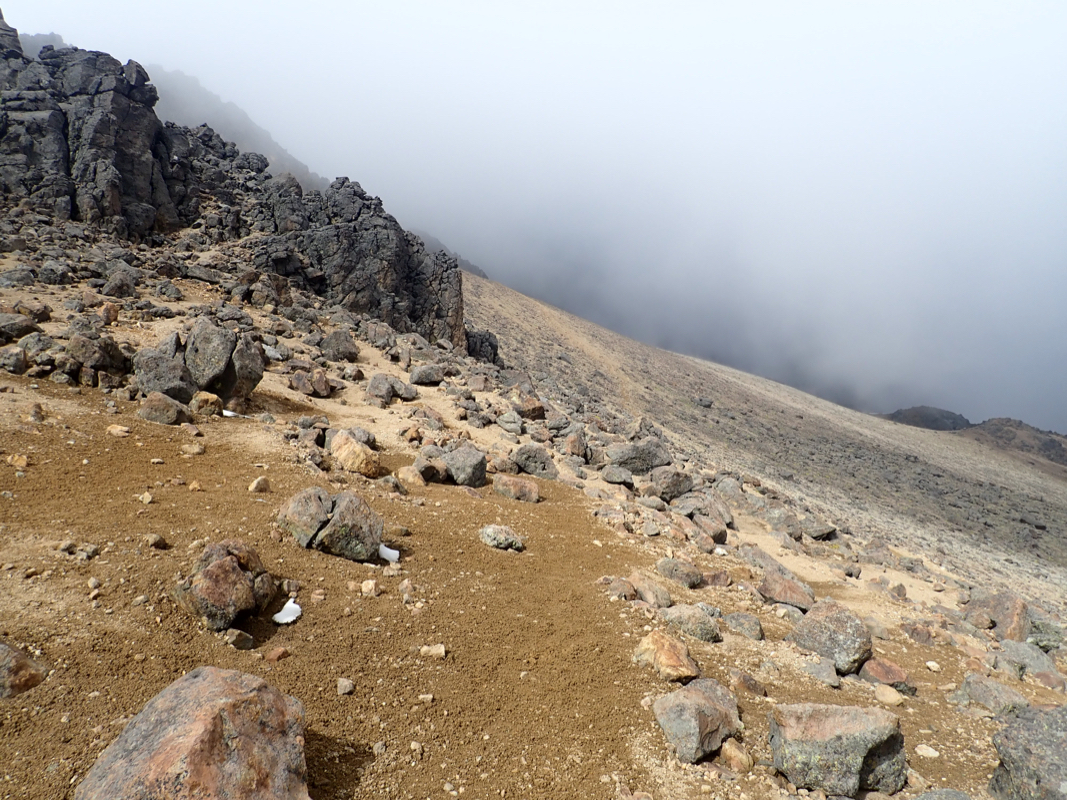
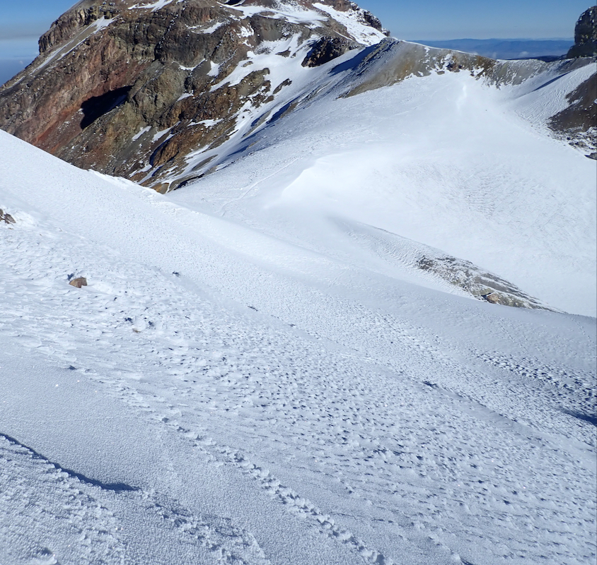
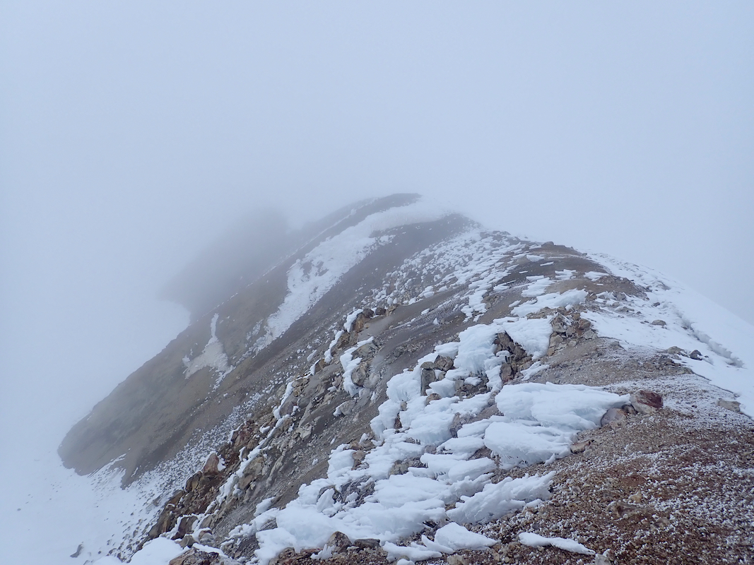
Looking down from the ridge above the hut, most
of the ascent route to the hut can be seen. In particular, pass 1, pass 2, pass 3 and
pass 4. The segment pass 3 to pass 4 is in the sun on the left side of the crest.