Location: North 13.34068, East 038.26587 (GPS at the summit)
Difficulty: YDS class 2
Climbed February 27. 2019.
Information:
How to get there:
See the description of Inatye. Route description:
From our camp at location
N13.29732, E038.23745, elevation about 3625 meter, access the small ridge to the north and
follow this (via the key saddle of Bwahit) to the lower slopes of Beroch Wuha. Pick up a good trail
that traverses north on the west side of the mountain. Follow this about one kilometer, then do an
ascending traverse across very easy terrain in order to reach the broad and shallow saddle between
Beroch Wuha and the ridge leading to Silki (going north).
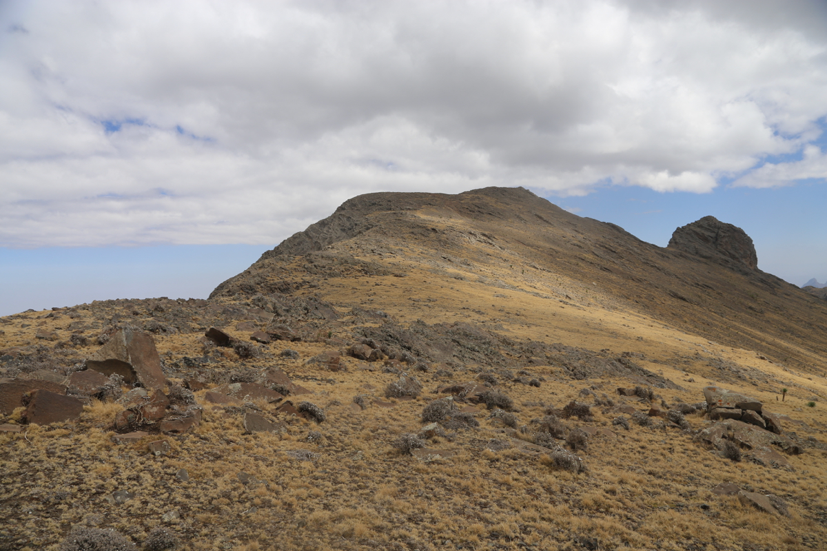
From the saddle follow the high ridge, possibly
skirting around a few false summits, to
reach the summit of Silki.
A return hike may cross over the top of Beroch Wuha.
Comments:
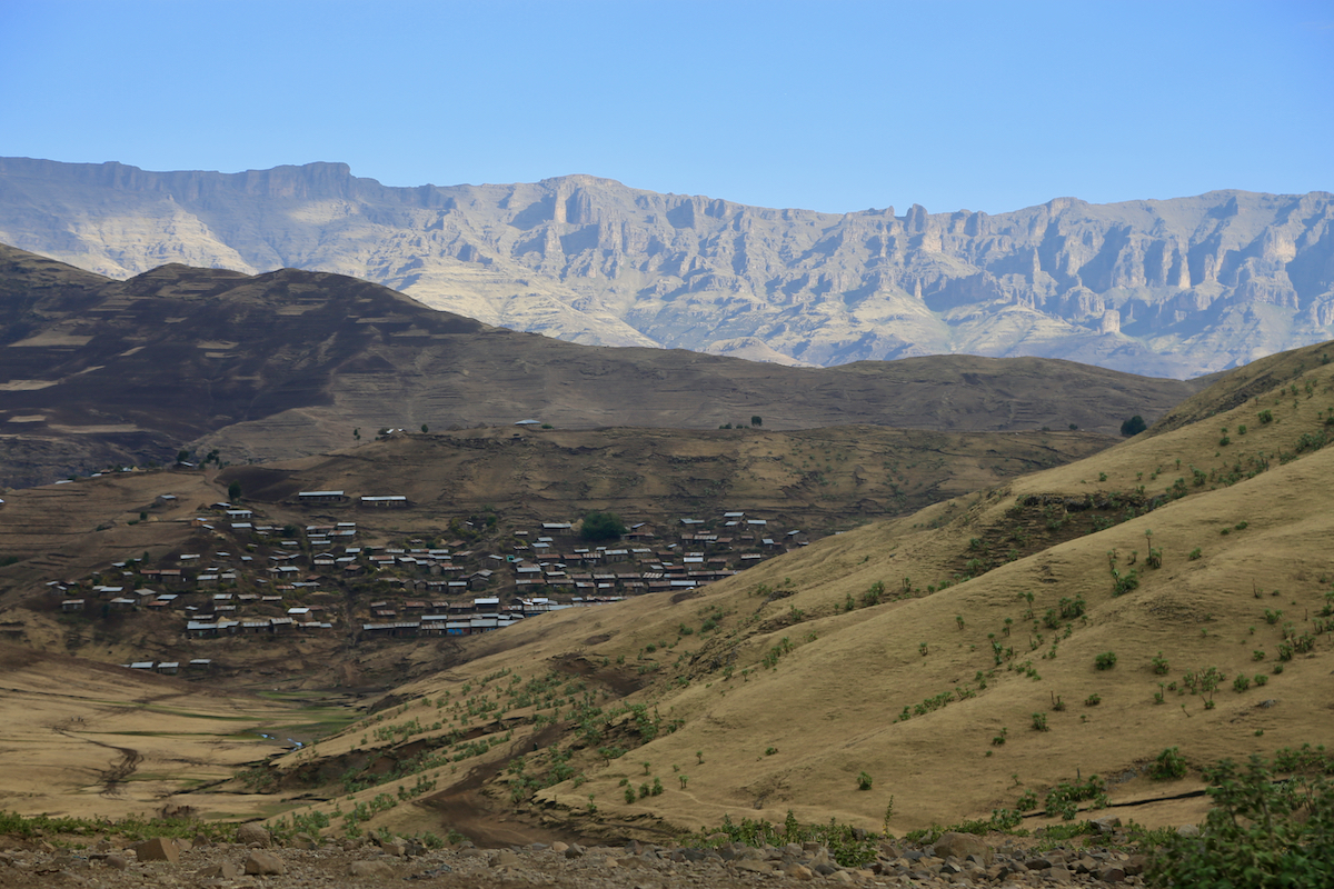
On February 26th., we had walked from Ambiko back down to the river. Next. we ascended
the higher land towards the north. We traversed several (local) ridges before
descending to the village
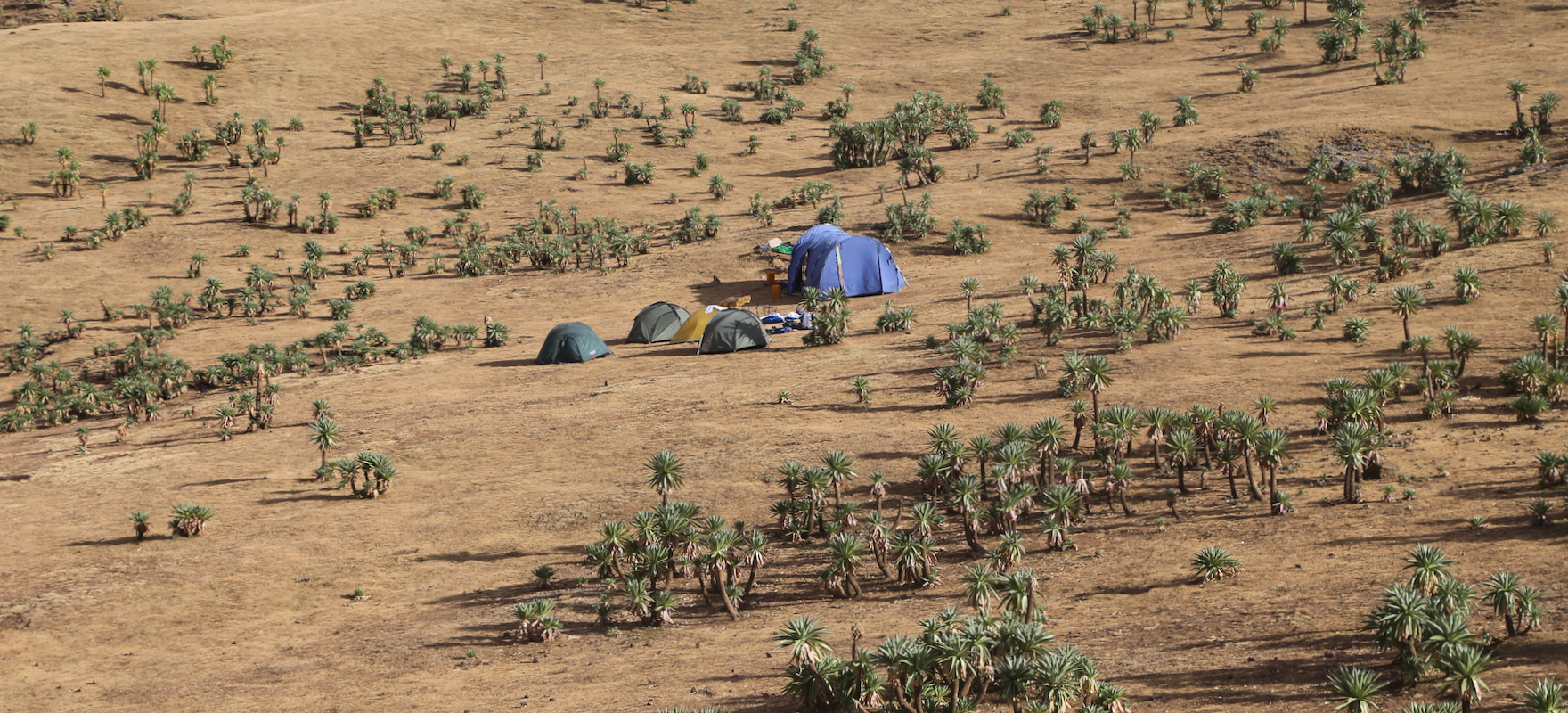
Arquaziye. Heading north, then north-west,
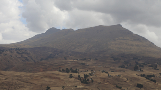
we established camp in a nice area directly
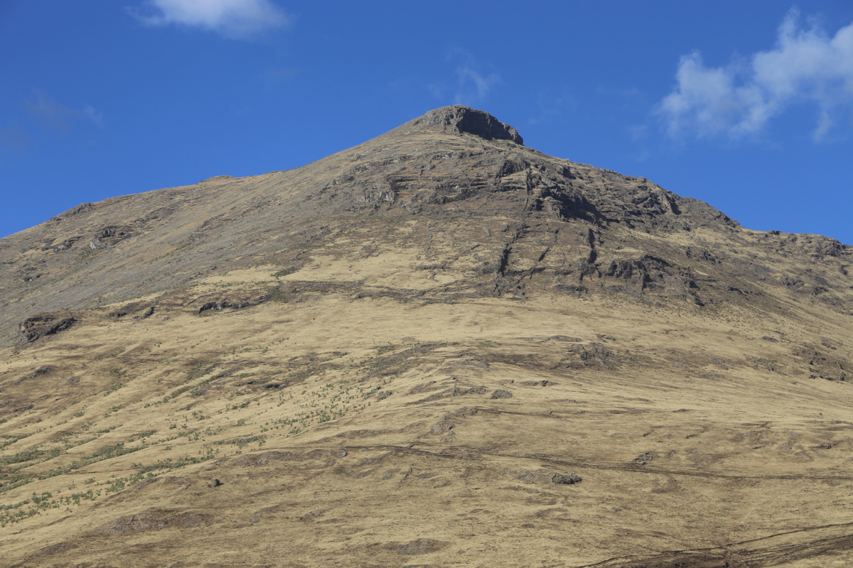
across for the good-looking peak called Beroch Wuha.
The next morning, we set out to do a full day walk.
The plan was to ascend Silki, then the peak
directly east of Silke, before visiting Beroch Wuha on the return hike back to camp.
This plan was followed, we all had a nice walk starting around 0815 and getting back at 1715,
nine hours after the start.