How to get there:
One first must go to Rwanda, the capital Kigali is where most
people will arrive by air. In order to avoid possible unexpected
red-tape, the most convenient (but also more expensive!)
approach is to use a local tour company.
I decided to use Bambou Tours and have them organize the permits, guides and
transportation logistics.
Tour companies may also be able to offer a low cost "do it yourself" option, with
only minimal "administrative support".
From Kigali, one travel north to the town of Ruhengeri. From here, it is a short drive
to the National Park Office, located at S01.43220, E029.59473.
Rwanda authorities do require that a guide is used, but obviously, one may try to
organize the trip directly with the National Park Office after arrival in Rwanda.
All guides that can be used are employed (and paid) by the National Park. Thus, all trips
originate from their office.
From the Park office one typically travels to the trailhead together with the
assigned guide.
The normal trailhead is
located directly on the lower slopes of the mountain at location S01.37282, E029.71860.
Route description:
I started from a trailhead located at
S01.36648, E029.71056, elevation about 2330 meter, however
it is also quite normal to start about 100 meter lower at location S01.37282, E029.71860.
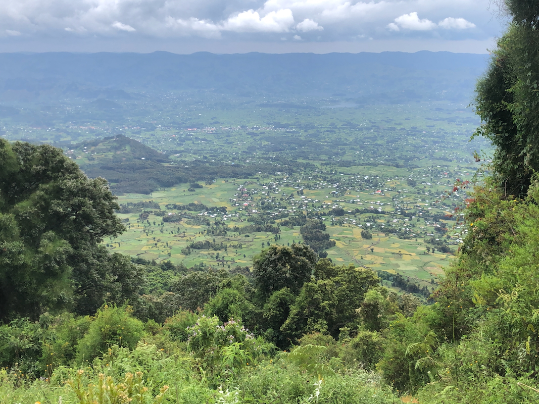
The first part of the route runs uphill crossing farm-land. Local knowledge needed in order to
find the correct link to the jungle trail above.
This is a
pretty small jungle trail into pretty dense jungle.
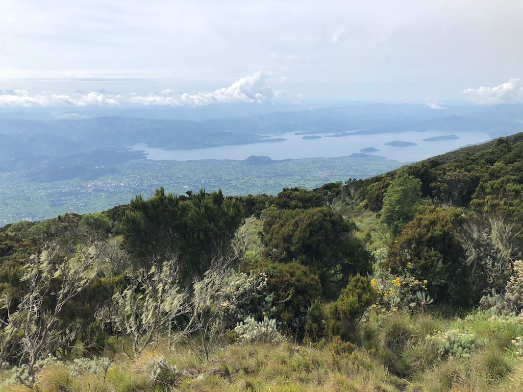
The trail runs fairly straight uphill. We emerged out of the trees after gaining
roughly 1000 meter vertical. This is a very natural place
for a break slightly more than half way to the summit.
Location S01.37390, E029.68833, elevation about 3325 meter.
From here, one can see most of the remaining ridge.
The trail is generally good to walk and with almost no mud.
The trail had a few points higher up on the ridge where a supporting
hand is natural, but stays at (YDS)
class 2 all the way to the summit.
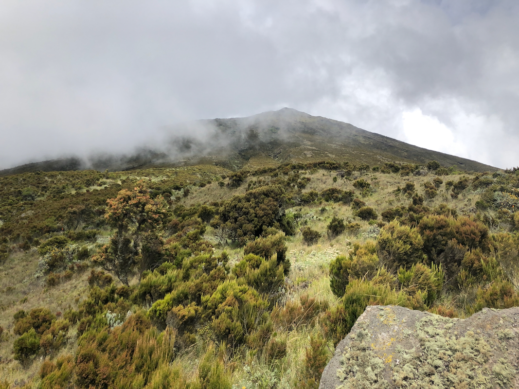
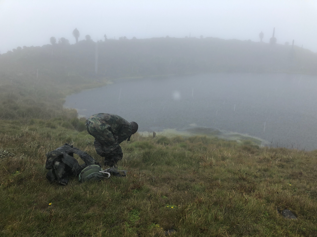
Quite surprising, the summit
consisted of a small circular lake,
then a gentle grassy rim
around. The highest point was clearly on the opposite side relative to our ascent.
Comments:
I left Bergen, Norway on Sunday morning and had good flights with zero trouble
via Oslo and Istanbul to Kigali. My first visit to the new airport in Istanbul,
certainly very impressive!
Arrival in Kigali was around 0100, about 30 minutes late. The arrival procedure
was smooth, but with a more rigorous Covid testing scheme than anywhere else I have
traveled in the last 9 months.
Simon from Bambou Tours waited for me outside and quickly got me to The Nest hotel,
quite good since my first priority now was to catch some sleep.
Agreed pickup time on Monday was 1100, Simon came about 15 minutes late due to some
traffic delays. We drove out of Kigali, the first stretch again extremely slowly due
to local traffic jams and snail pace progress. The rest of the drive was nice and
scenic crossing several of Rwanda's famous green hills. We drove to the city of
Ruhengeri, then drove to the Park offce for the National Park.
This is located at S01.43220, E029.59473, we were there around 1430.
This visit turned out to be a bummer, nobody there to take care of anything. Still,
it seemed that whatever business was needed could be done using the phone. The park
officials needed to see my negative Covid test from the airport arrival.
Next, Simon drove me to my accommodation. I had asked for a place close to the
trailhead. We left the main road and drove downhill on a very rough (typical African)
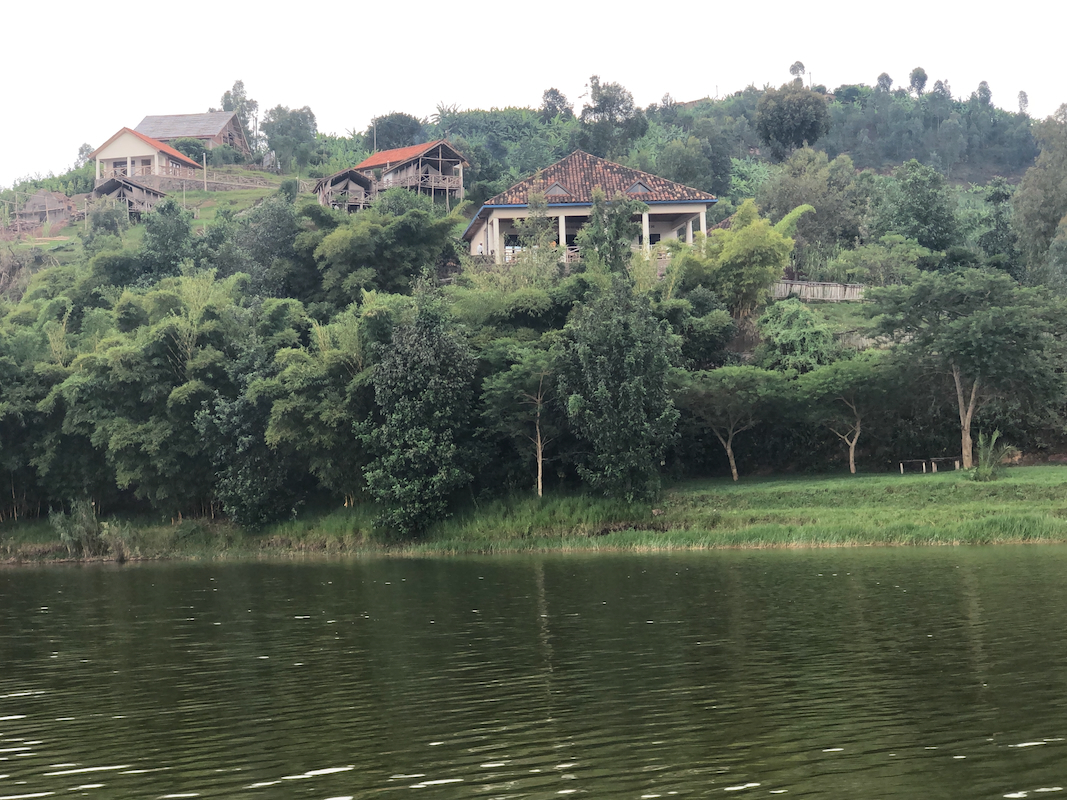
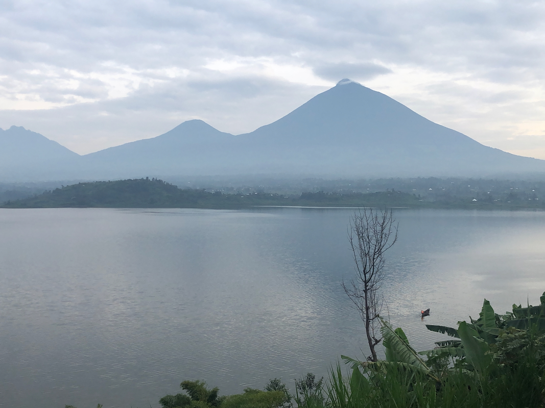
dirt road. Eventually, we ended up on the shore of lake Ruhondo. It turned out that my
place to stay was located on the opposide side of the lake. Close in distance, but
perhaps not in time? The boat was waiting
and I soon arrived at My Hill Eco Lodge.
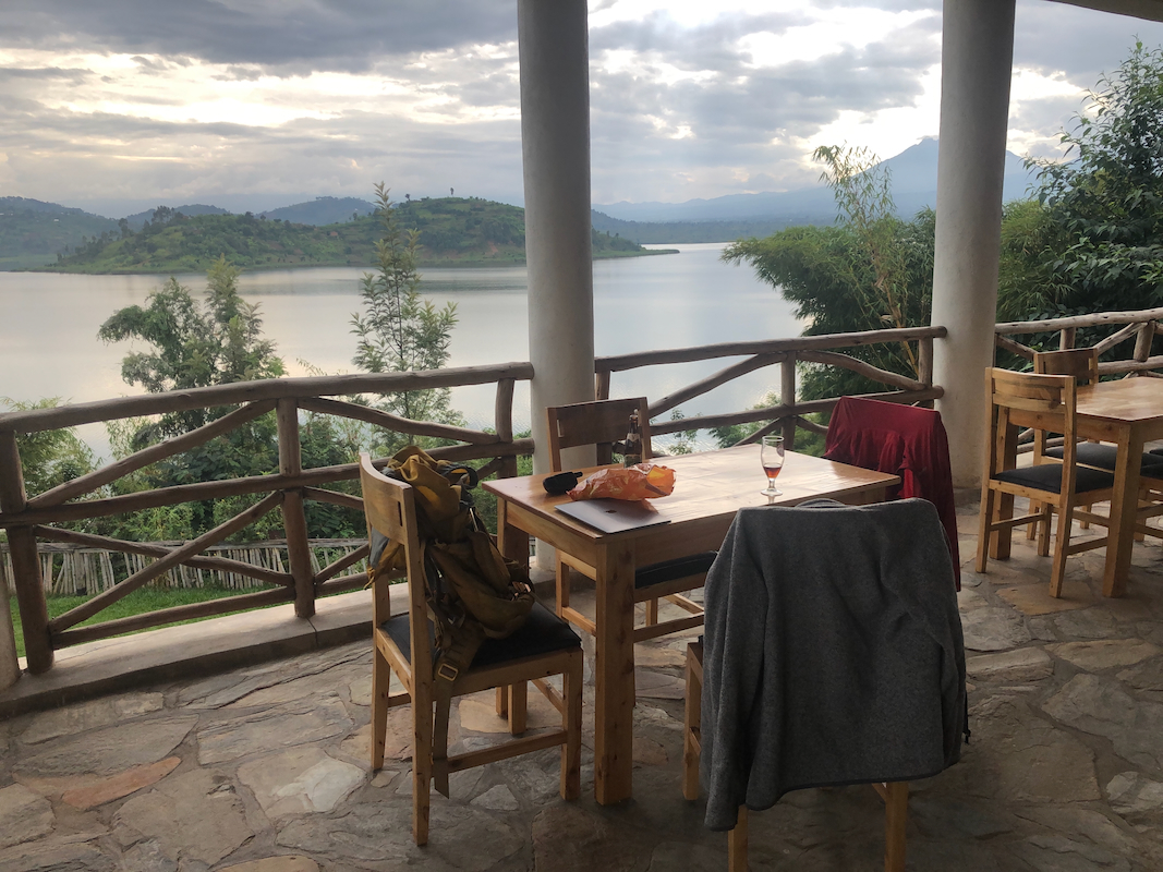
Friendly people and quite a nice place!
I got a tent room, really quite well made,
not really a tent, but walls and roof made of very solid material. I enjoyed a local
dark beer then fish from the lake for dinner.
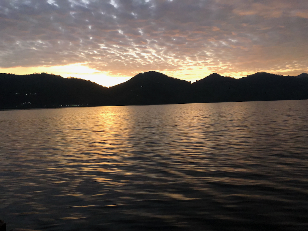
The day ended with a nice sunset across the lake.
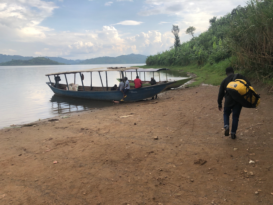
Tuesday morning, breakfast at 0500 - Spanish omelette plus tropical fruits.
My boat left at 0530 and
Simon was waiting on the far side. We were supposed to
be at the trailhead by 0700. A slight confusion as we parked on the normal trailhead
while the guide and the Rwanda army showed up at an alternate, slightly higher
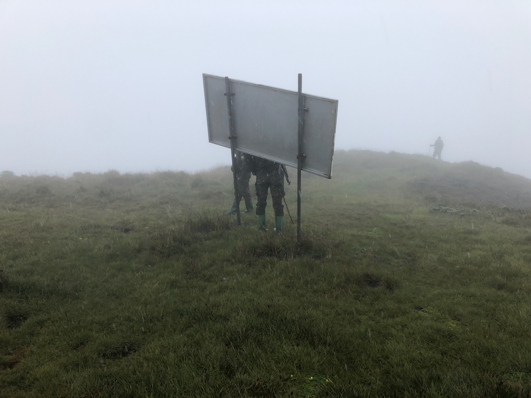
trailhead. We were soon there and I greeted the guide - Emanuel, age 34.
There were also 12-14 Rwanda army soldiers, all with weapons, helmet and
green battle clothing. A very impressive party for a single hiker.
The guide wanted to know if I would take a local porter. I told him that I normally
would carry my (very lightweight) pack myselves, however if the use of a local
porter would be of help to the local community, then that would be ok. The guide
expressed gratitude for this and a message was sent that some local man should
be hired. We started walking and a porter caught up with us within 5 minutes.
We left at 0715. One soldier in front, then the guide and me, with my porter
right behind.
