M'Goun
- M'Goun
- 4071 m.
- Primary factor 1904 m.
- Location: Morocco
- Location: North 31.50909, West 006.44416 (GPS at the summit)
- Climbed June 26. 2017
- Difficulty: YDS class 2
M'Goun
|
|
How to get there:
A point of reference is the well known city of Marrakech. The peak can be climbed
from the north (short access) or from the south (long access). Several commercial
trekking companies offer 4-5 day treks that also climb M'Goun.
However, this climb may be done as a single (long) day climb for experienced climbers.
In this case, the south access is probabely the best.
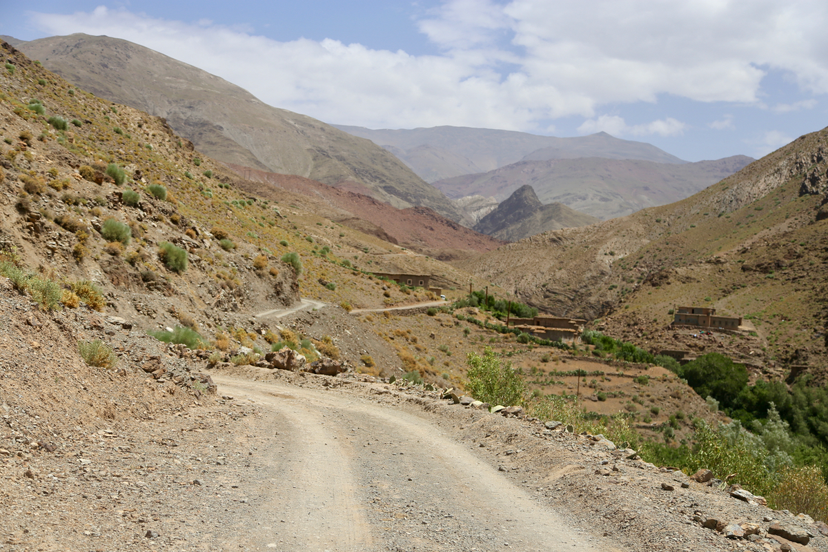
First, drive from Marrakech across the Atlas to Quarzazate.
Continue east (a bit north of) to Skoura, this is about 40 kilometer.
Next, go directly north about 2o kilometer, to the village Toundoute.
Continue through town and just keep going along the main road until you fork left
at location N31.33910 W6.49630. The road will cross a large, dry river bed. Turn right
at N31.37077 W6.50036, the road gets slightly rougher. In a downhill, keep left as you
enter a small village. There is a gite (guest house), here a big sign that says "Gite - STOP".
You should definitely ignore this sign, obviously set up to help business, but rather
misleading. (See comments below.)
Continue along the narrow road,
hopefully without meeting any other vehicles, you will
get to the village of Assaka. Do not cross the river, but rather keep left and enter a smaller
river-bed where people drive. A bit of care and you exit with a sharp right turn and enter
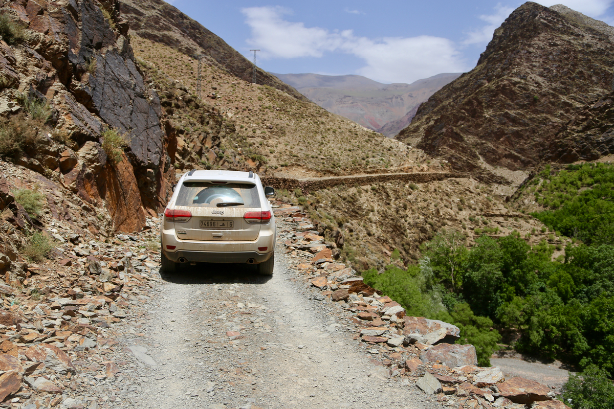
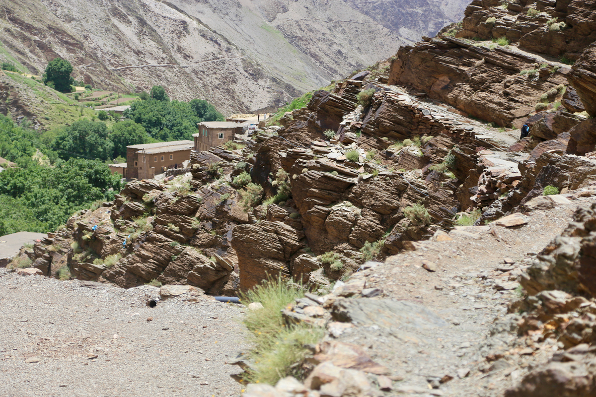
a narrow street going through the village. The road continues along this impressive valley,
often high up above the river, perhaps the driver should have some experience with narrow,
unprotected roads. Turn sharp corners with care, staying as close to the inner part of
the road as possible. There is an impressive narrow gorge, you drive downhill and the valley
narrows to essentially give room only for the river and the road.
Finally, the road climbs to the very last village in
the valley, there is space to park a vehicle
(and to turn it around!) in the shade of some big trees. Ask a local about
parking and consider paying a few Dirhams for the help and safe guarding of your
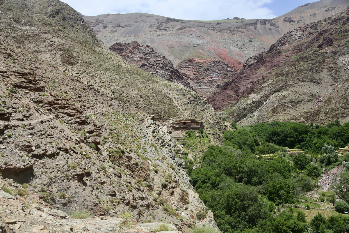
vehicle while away hiking. This location is at N31.44922 , W006.48837, elevation 2300 meter.
Route description:
Exit the village at its upper end, do take the (left) upper trail. This trail crosses
a few minor streams, then heads directly into
the main, narrow gorge ahead.
You want to follow
the right branch. There is a
faint path, not always easy to follow. Past the first main bend, there is a rather steepish
section with loose material, care is needed. Reach location N31.46353 , W006.49054, elevation about 2600
meter, on top of this stretch (the crux of the entire route).
There are several smaller trails crossing the
terrain in the next section of the route, but they do not serve as a route to the mountain.
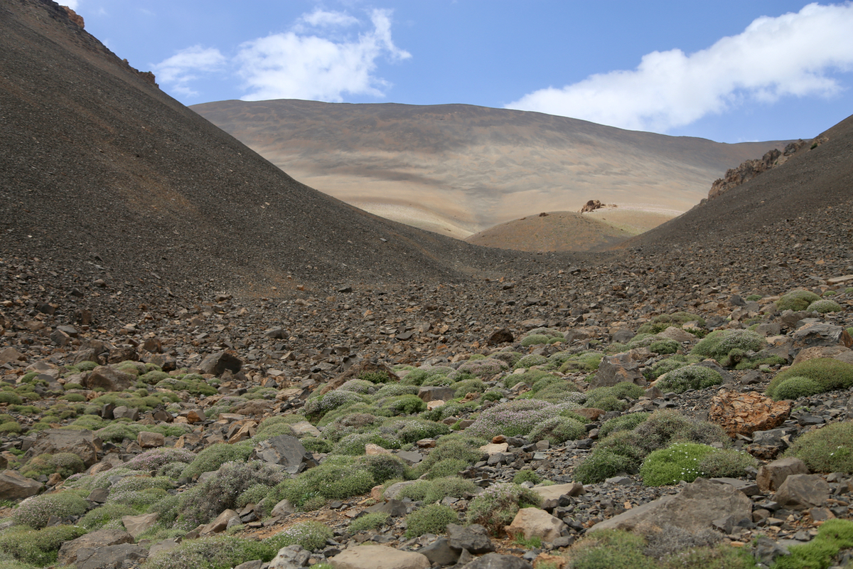
Ascend the terrain, going eastward, picking a good route up smaller drainages in the direction of a pretty
bulky mountain (ahead).
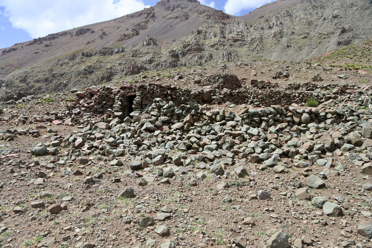
You should pass nearby location N31.46725 , W006.48199, elevaion about 2875 meter,
there is a stone shelter/hut here.
Cross a few small drainages, following small trails
generally avoiding significant loss of elevation.
There is a distinct valley going left (north)
just in front of the bulky hill, this is key
to the rest of the ascent.
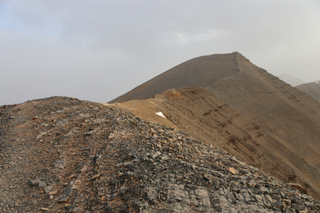
Now, just hike up this valley, then take the right fork higher up.
There are trails that may
be followed. Continue up this higher re-entrant, a bit steeper as you climb higher in order to
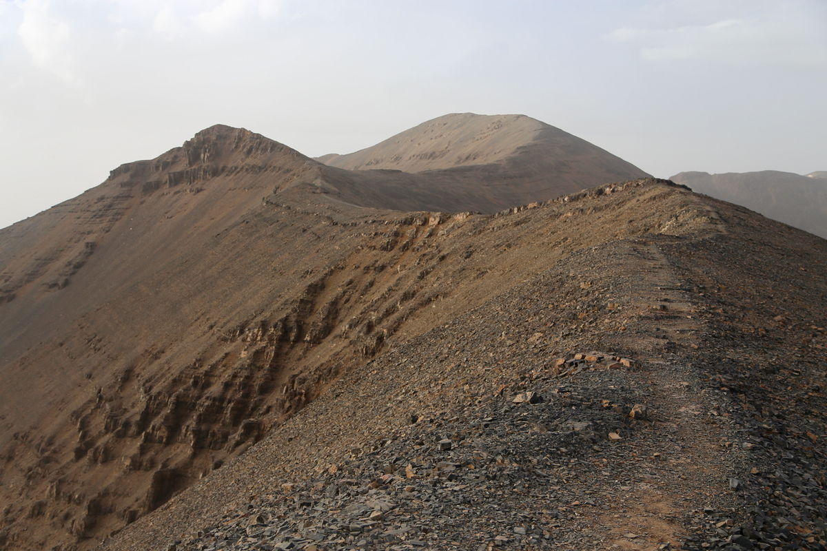
reach the main crest near, but west of a local top, point 4008. There is a major trail coming along
this main ridge. What remains is now a very
pleasant 2 kilometer ridge walk
to the summit.
Comments:
Being based in Marrakech, this is a fairly long excursion, in fact you do need 2 days.
I had breakfast with my wife Heidi around 0600 and left shortly before 0630.
There was little traffic, but the road across to Quarzazate is long and the drive takes
several hours. I passed Col du Tichka,
2260m, and noted that there must
be a lower pass, since this would give M'Goun a prominence of only 1811 meter.
Once in Quarzazate, there were few signs to Skoura, but I made good progress
and reached the small town of Toundoute at the southern base of the Atlas in about 4 hours.
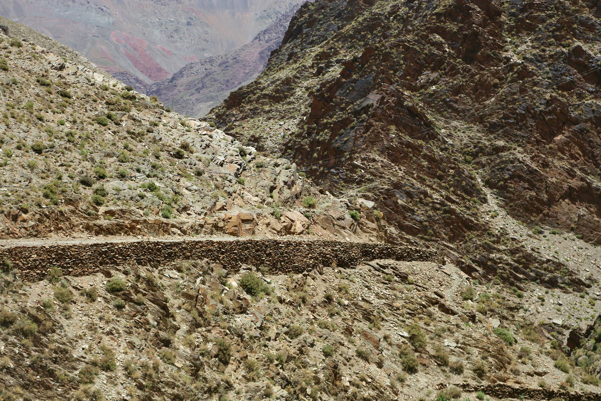
From here, the drive became more interesting, small, local roads and careful route-finding.
The guy with the gite had painted several signs, but as I got to his house and noticed, but ignored the
(self made) stop sign, a few people out in front acted a bit angry, some shouting voices as well
as hitting my car with their hands as I slowly, but steady drove past and left them behind.
The only not so friendly behavior observed during 2 weeks in Morocco.
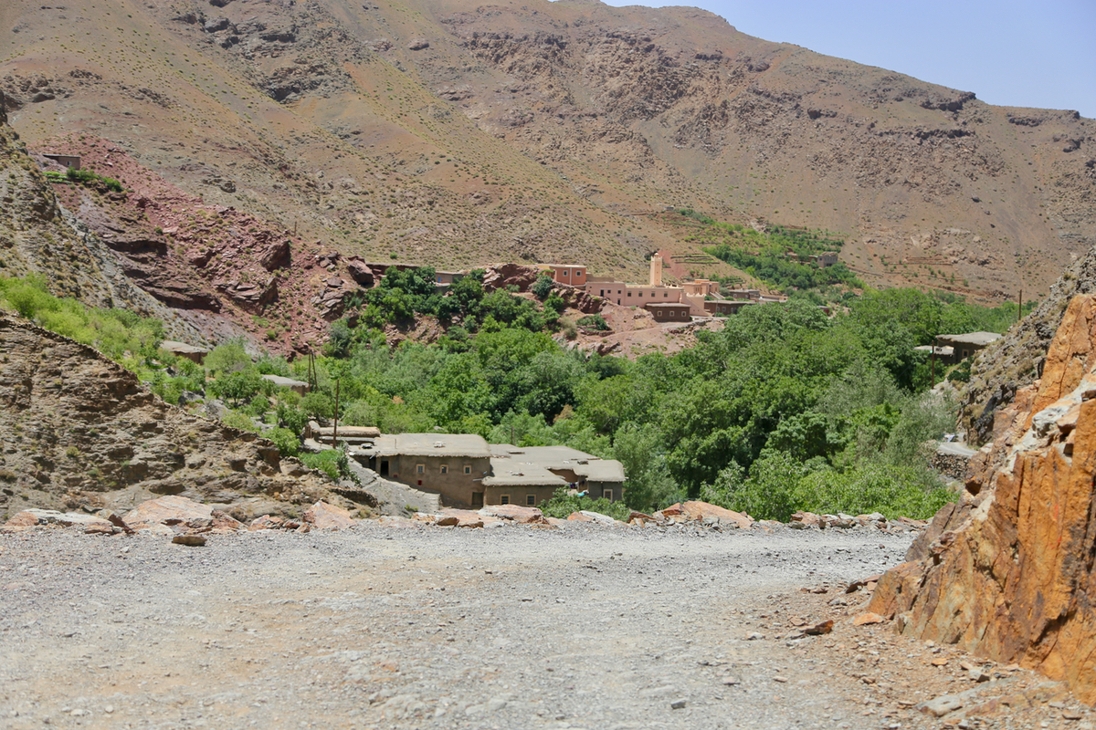
I carefully drove my rented Cherokee Jeep onwards,
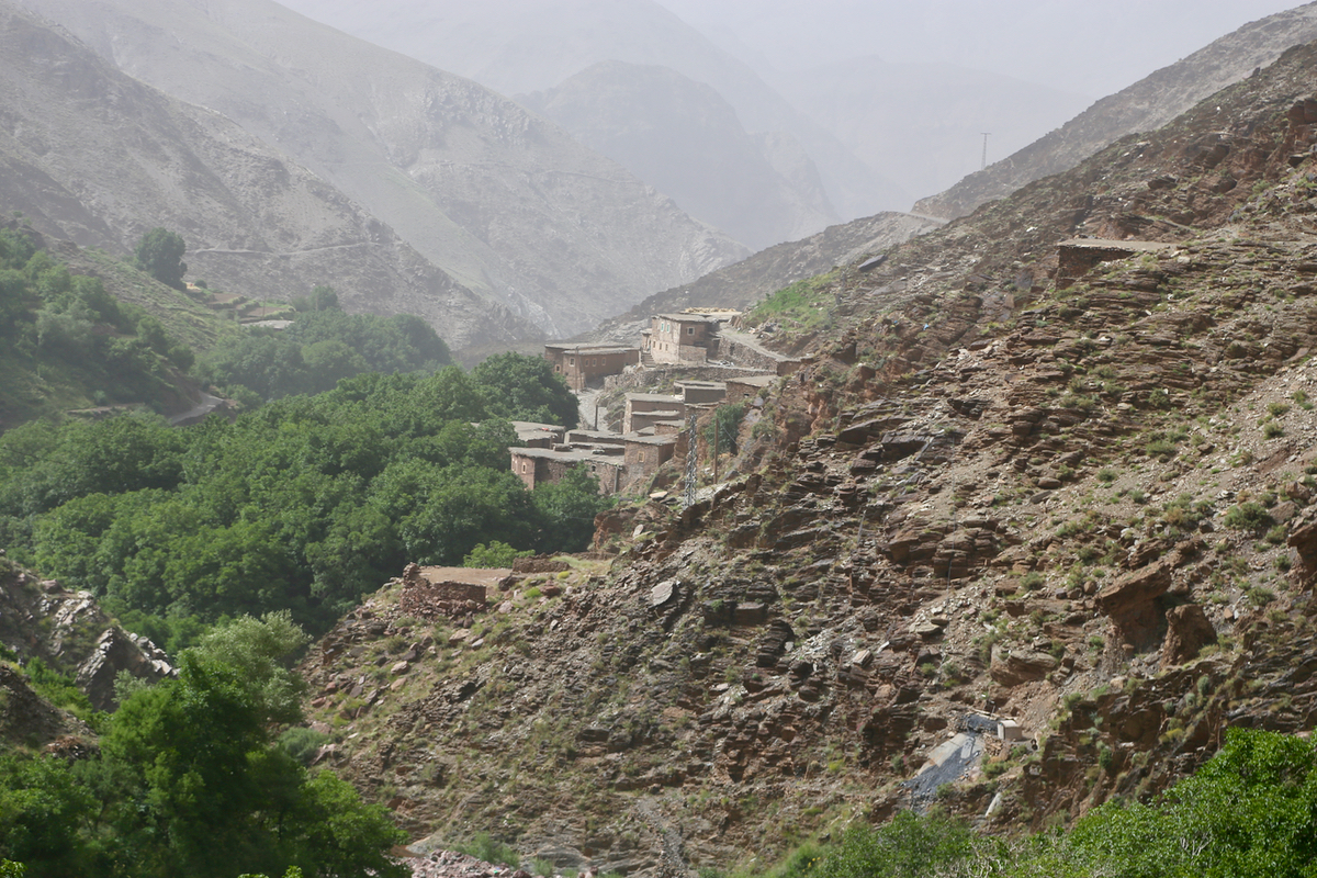
into the river bed and through the narrow street
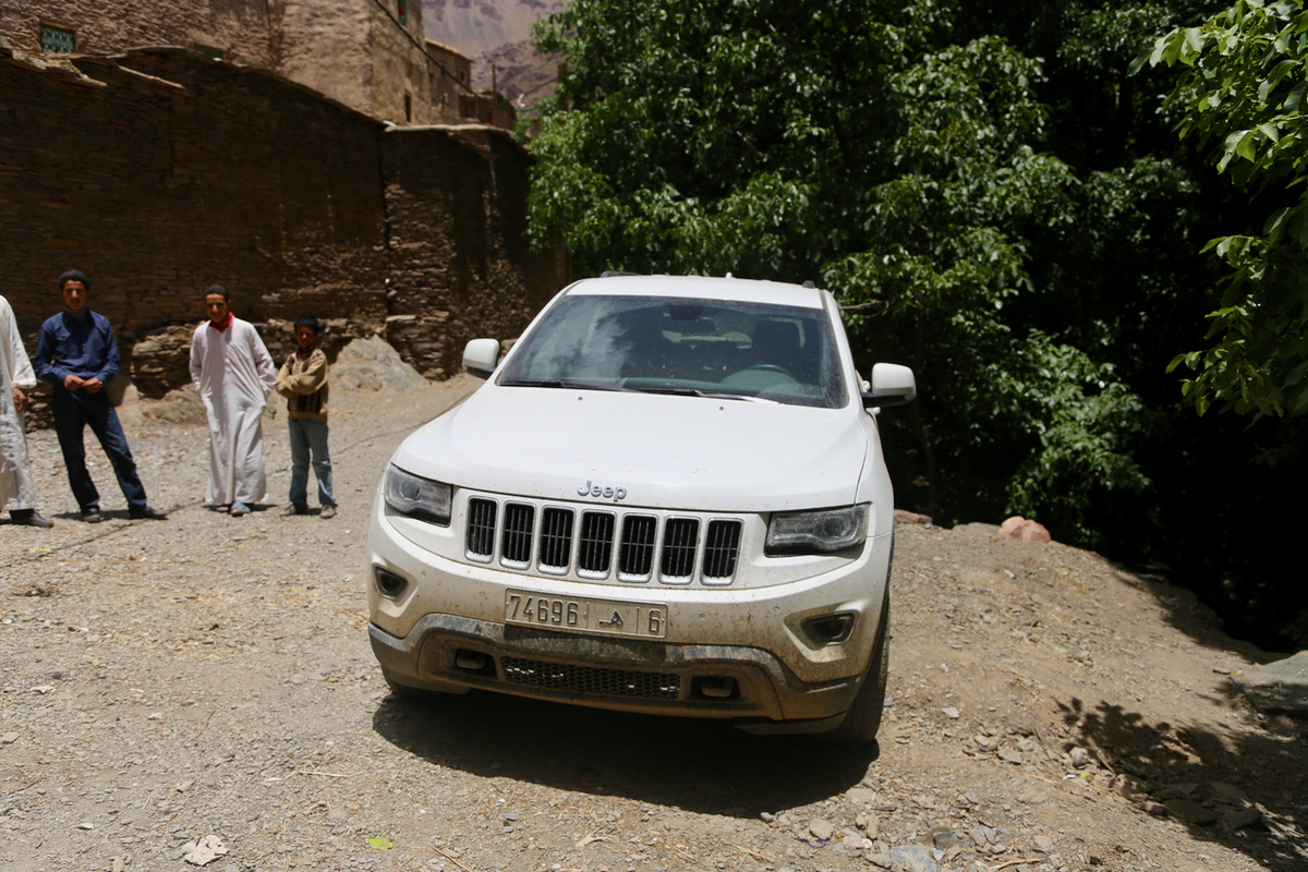
of the villages until arrival at the very last mountain village at a respectable 2300 meter
of elevation. Along the way, I had driven through a very narrow spot, barely space for the
river and the narrow mountain road. All in all
a very worthwhile drive that can only be
highly recommended.
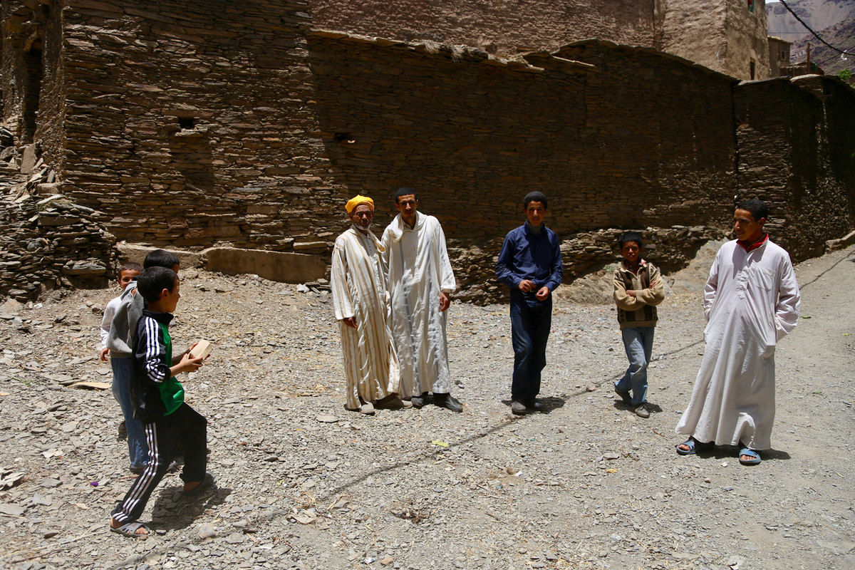
The people of this upper village
(I do not know the village name), were very friendly.
It seemed clear that a vehicle visiting was not a routine event.
Parking was arranged and
several people politely asked if they could offer me some meal before starting the hike.
I got underway, leaving
the last building, around 1245 with 3-4 kids
following along. The route was pretty obvious, but
the kids obviously knew the fine details, this was certainly convenient. We ascended
the steepish part and it was time to say "Au Revoir" to the kids.
I walked by the shepards hut, not in active use, then picked a quite reasonable route
across to the valley that led towards the main crest.
Rain started behind and below me, but the conditions looked fine. I had planned to
camp before the summit, then complete the trip the next day, however there seemed to
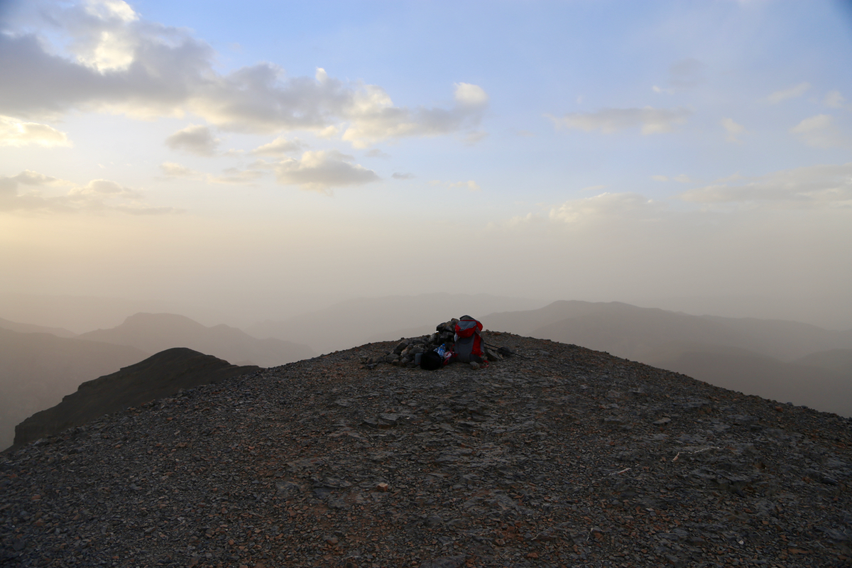
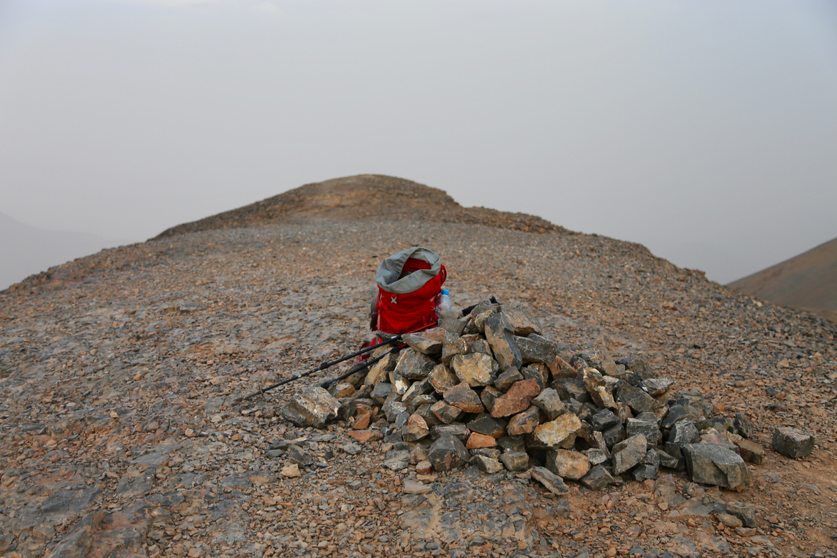
be no reason to stop here. I completed the ascent to the main crest around 1815,
then walked along the nice ridge arriving at the summit by 1900.
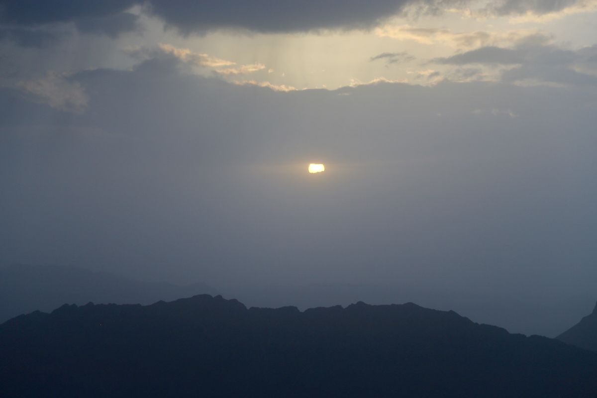
It was cloudy, but
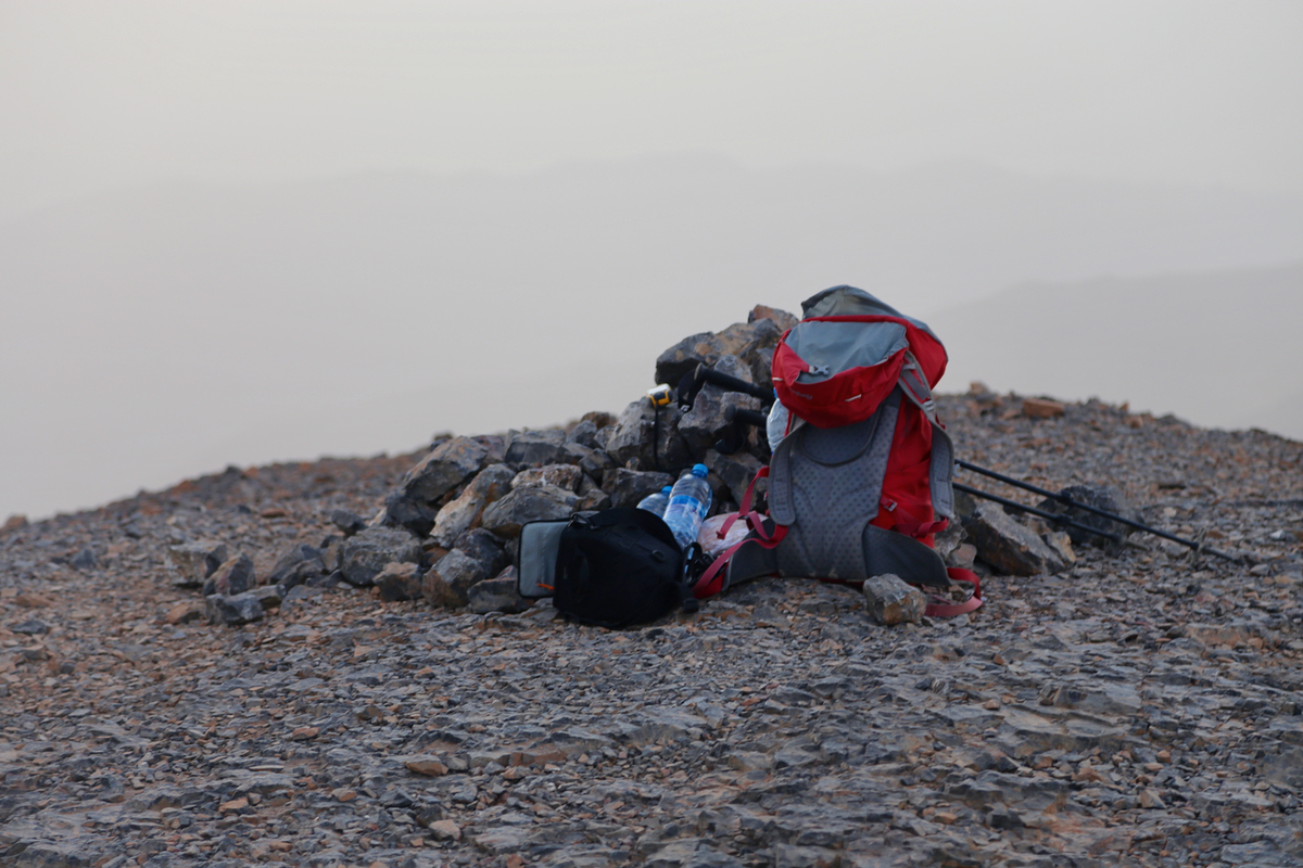
no rain. I made up my mind to simply camp at the summit.
I was certain that the clouds
would go away and that a clear night would be followed by a nice sunrise. How often do
you actually sleep on top of an ultra? There was a nice spot just a
few meter from the
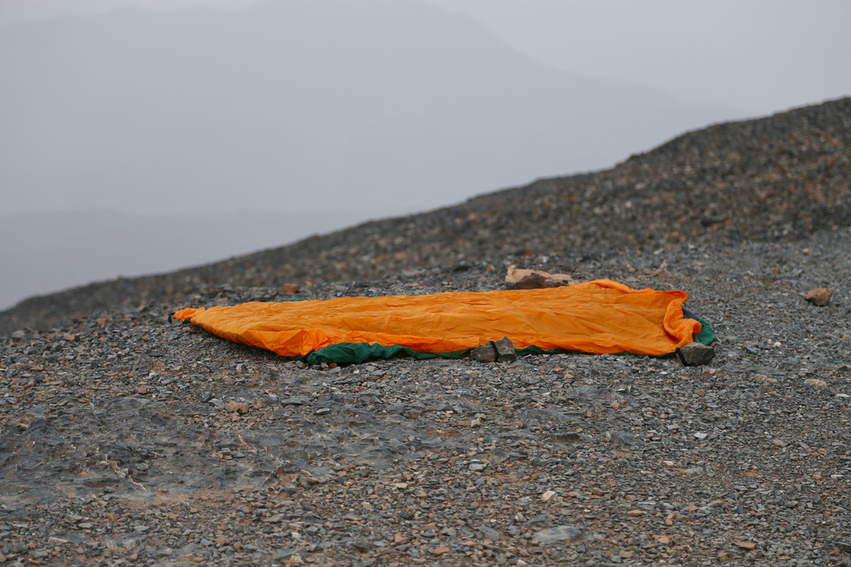
cairn. Soon, I was resting in my bivu-bag
after having put on extra clothing, a wool shirt,
a fleece and wool underwear. The stars all appeared, just as predicted. Unfortunately,
the temperature dropped a bit more than ideal. A sleeping bag had been perfect.
As it was, too cold for comfort and thus little sleep. I was ok in the sense of not having
a serious problem, I could always just have started my descent. Still, this turned out
to be a pretty rough and very long night. The time moved slower than I had experienced
recently. The nice sunrise and some good morning photo opportunity was my main motivation.
Finally, at 0500 when complete daylight were back, I realized that my sunrise would
not take place. It was windy and clouds had assembled all around the east part of the
horizon. No good pictures! I felt an urge to regain more body temperature, broke camp
and hustled along the ridge.
After descending the first big slope to the
south I made a first stop to reorganize.
It was already warmer, despite the missing sun. Time to put clothing in the backpack,
to drink some water and get into a mood to enjoy the landscape and this part of the
high Atlas on my return hike.
I made several more short stops to look around and
drink water, I carried more than
would be needed. Still, arriving back in the upper village around
0930. There, I was
again welcomed with friendly smiles as I changed to sandals and got ready to
take the car back down the long and narrow road.
The return drive went smoothly, I offered a lift to two different men walking along
the mountain road, none of them gave any signal, but they were both quite pleased when
I stopped and offered them a ride. The first one for about one kilometer, the second
man perhaps about two. Finally, near Quarzazate, I picked up a hitch-hiker that were going
all the way to Marrakech. A second year student of physics, he spoke reasonable English
and provided good company on my drive back. There was more traffic on the
road, people were travelling home after the traditional celebration at the
end of Ramadan. I arrived in Marrakech around 1530 after
a long, but very successful trip.