Location: North 13.26140, East 038.16489 (GPS at the summit)
Difficulty: YDS class 1
Climbed February 23. 2019.
Information:
How to get there:
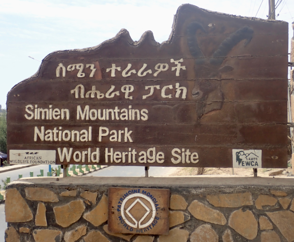
This is the first mountain in a 6 day trek in the Simien mountains in the north part of
Ethiopia. A good starting point is the city of Gondar, this city is served by Ethiopian Air -
about one hour flight from Addis Ababa. We stayed in Goha Hotel, located on a hilltop overlooking
the town.
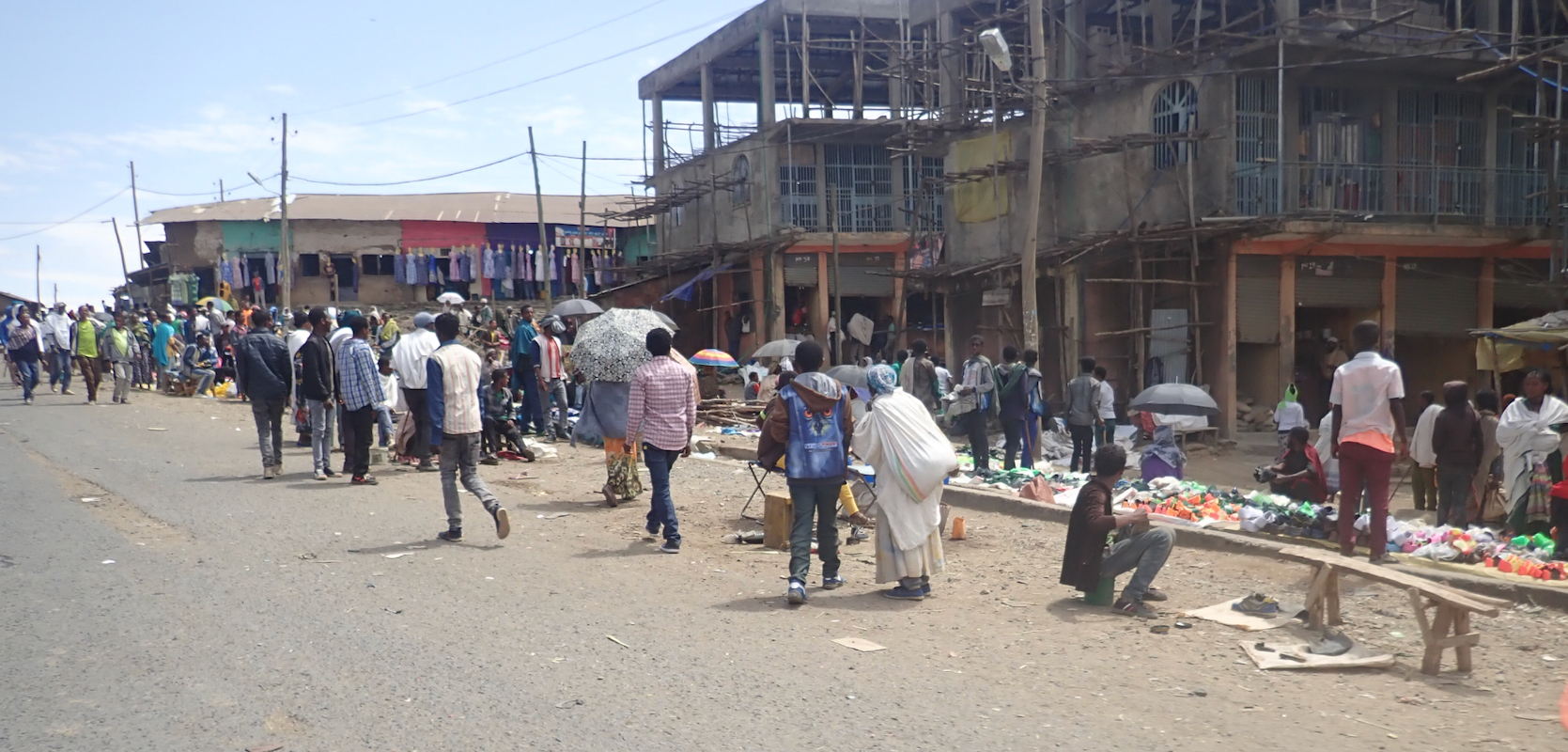
From Gondar, drive north to the town of Debark.
Here, the headquarter
for the national park
is located on the left side of the road near location N13.14924, E037.89492. All parties must stop
here for registration.
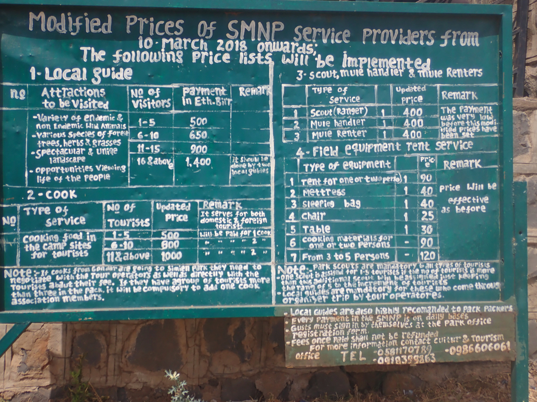
They have posted a big sign with prices for various services.
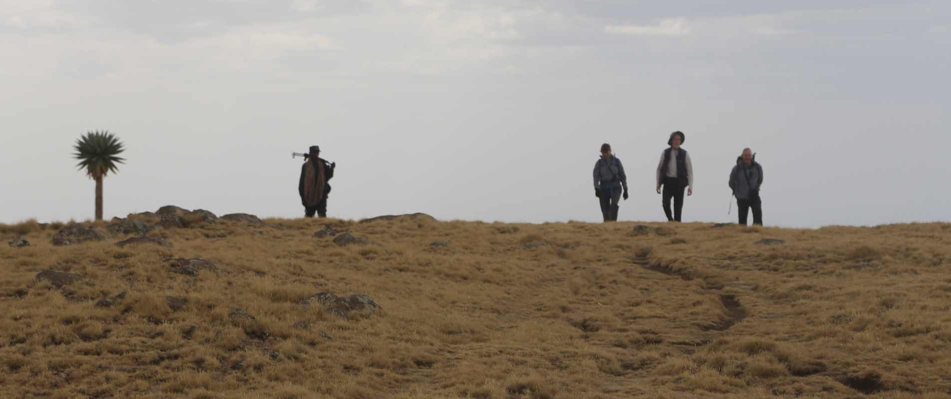
All parties must have an (armed) ranger, locally called scout. One normally also hire a cook as well
as some porters/mules at this location.
Continue along the road, you will shortly
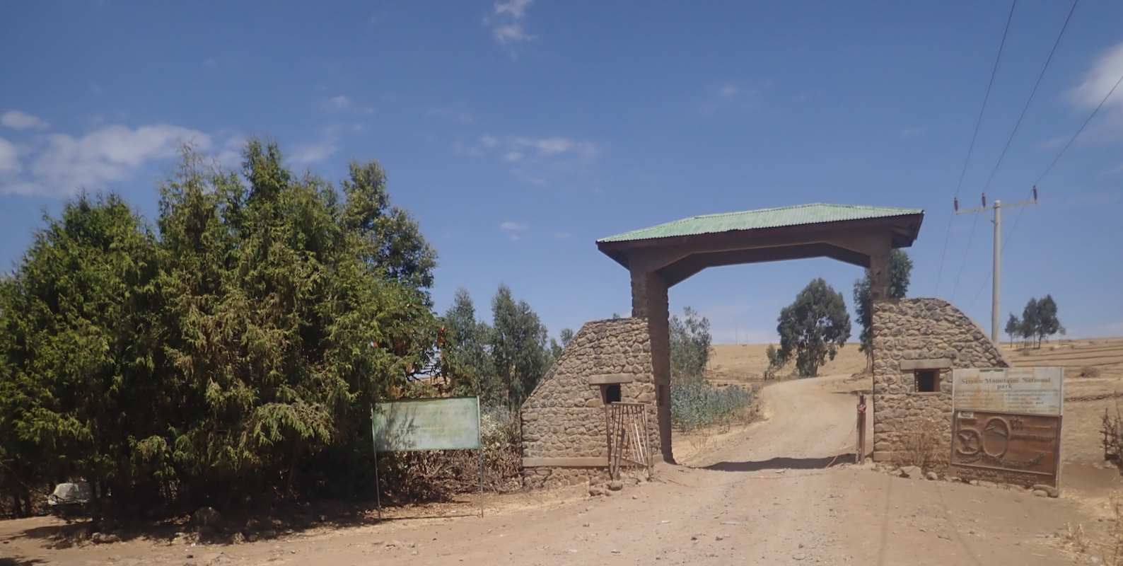
reach an official park gate at location
N13.16627, E037.96289, elevation about 3130 meter. There is a substanial drive on a slightly
rough dirt road before you reach the official camp site called Chennek. However, a nice short
hike visiting the summit and very good view point Inatye, can be made by starting from the road
a while before reaching Chennek.
Route description:
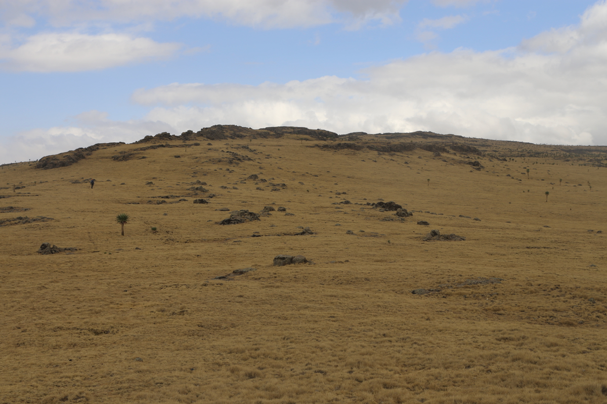
We started from the road at location N13.24005, E038.13555, elevation about 3760 meter.
Head gradually uphill and hike towards
and past several (smaller) local tops. The terrain
is generally pretty flat and hiking is very easy.
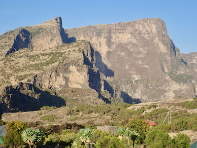
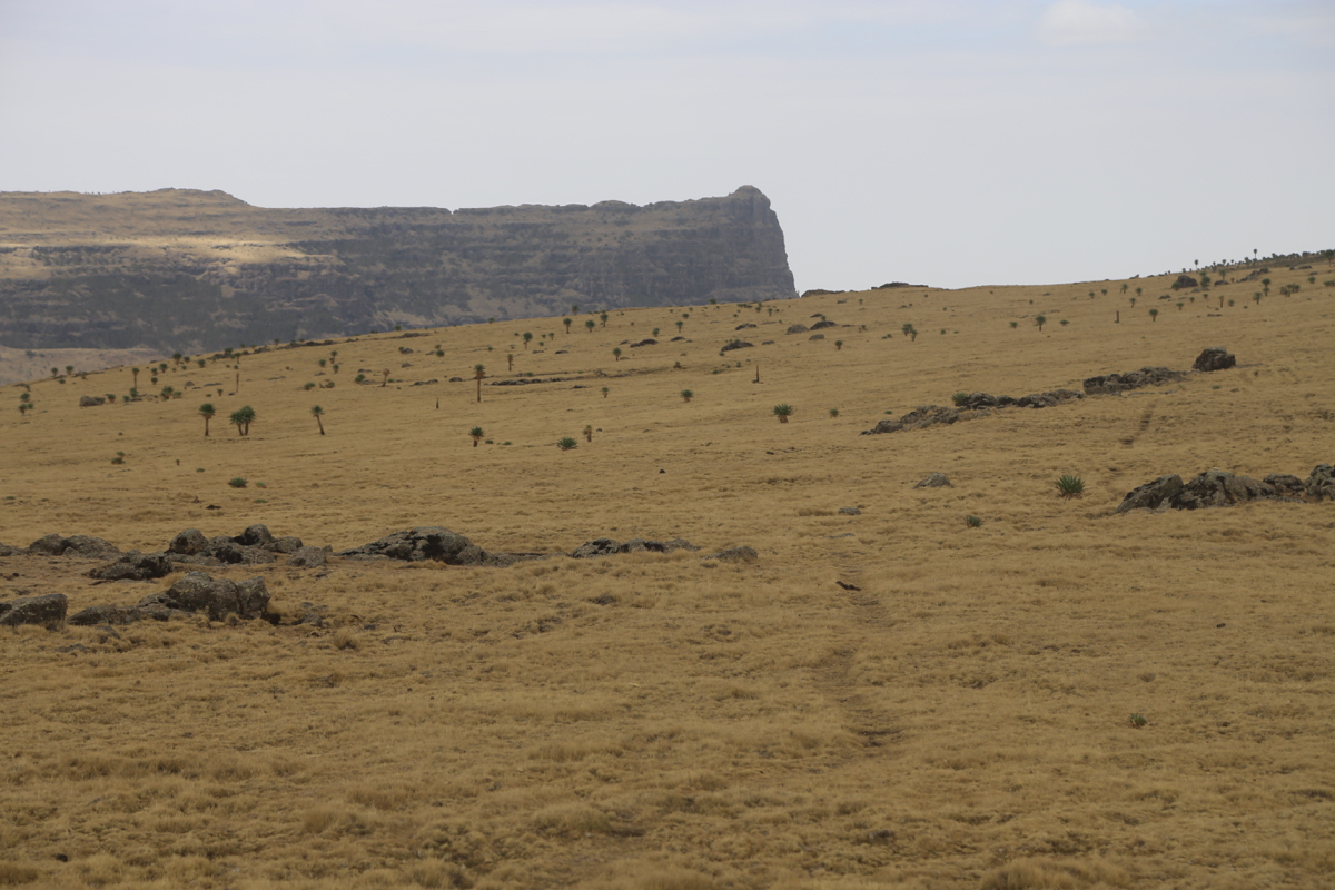
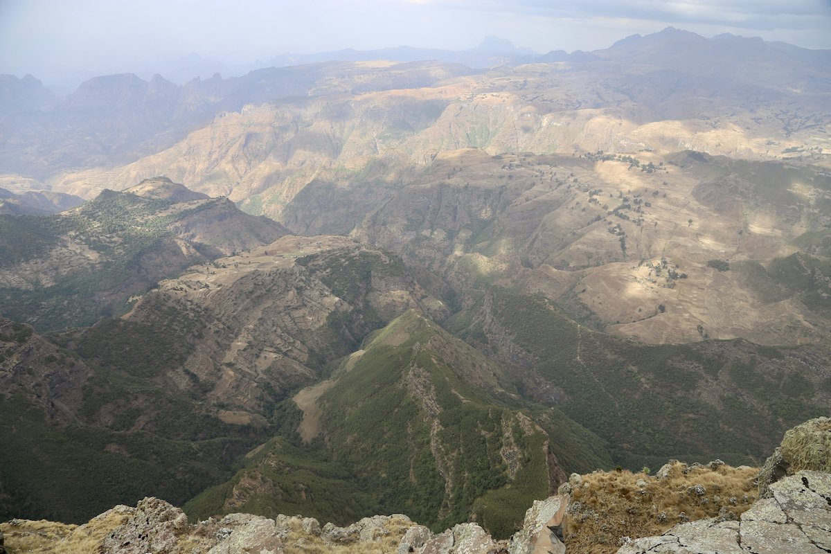
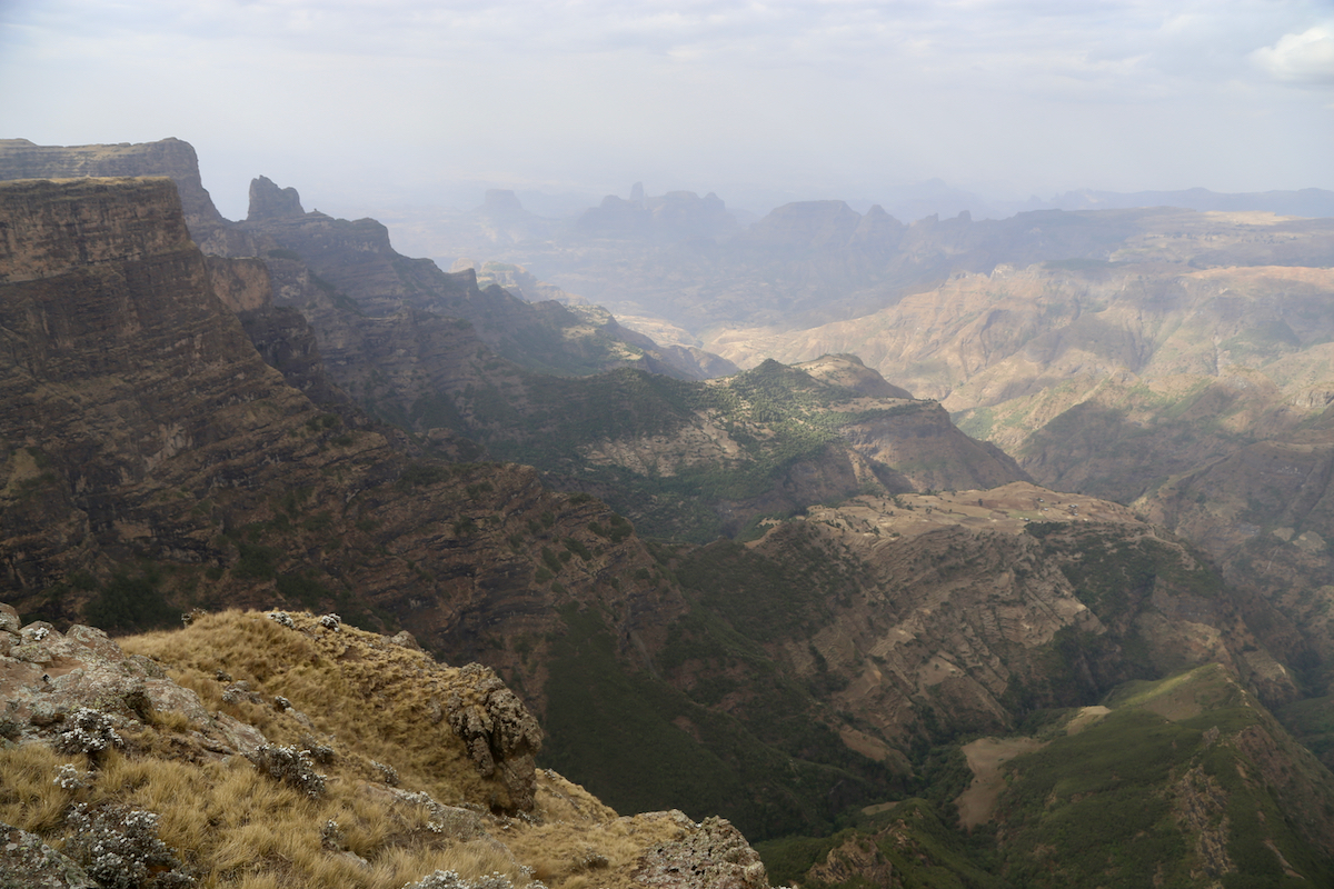
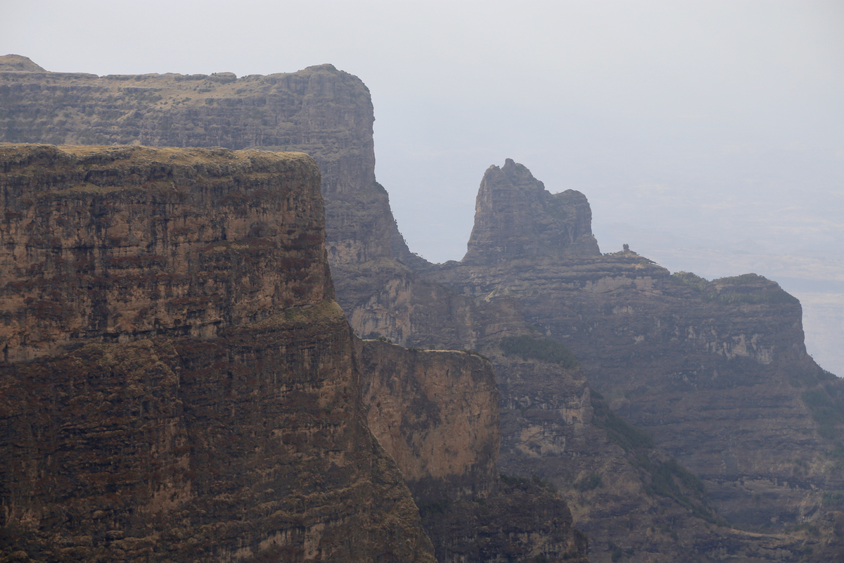
First, visit the viewpoint
at location N13.26138, E038.15775, elevation close to
4070 meter. This is often considered the summit. However, the next triangle with
steep cliffs is slightly higher. It is a short walk to head across to this highest
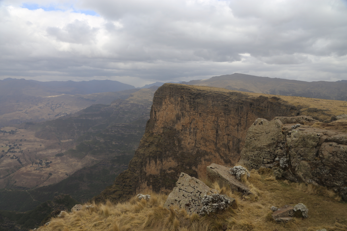
summit point at location N13.26140, E038.16489, elevation 4075 meter.
The view is
very good also from this location.
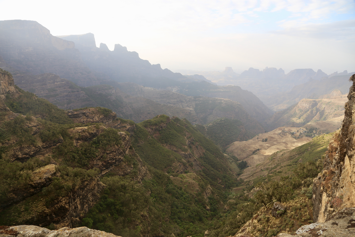
From here, a trail leads downhill more or less following the ridge, back to the road
near an official camp site called Chennek. Shortly before reaching camp you will
pass a notch in the ridge
(right next to the road). This location is
at N13.25904, E038.18917, elevation 3570 meter. This is the key col that determines the
prominence of Inatye.
Comments:
I did this trek together with
Denise and Richard McLellan and my friend Rob Woodall.
We started from the car around 1430 and arrived at camp in Chennek around 1730.
Our next goal on this trip was the mountain Bwahit.