Location: North 01.11798, East 034.52721 (GPS on the summit)
Difficulty: YDS class 1
Climbed February 15. 2020.
Information:
How to get there:
The nearest large town is Mbale.
Go north about 5 kilometer on A104, then fork right in Namunsi,
where you cotinue north-west about 4.5 kilometer, then turn right
onto a (good) dirt road to Budadiri. Continue straight through
the center of town and locate the National Park Office on
your left a few hundred meter from the main road intersection in town.
There is a guesthouse about 50 meter further along the road on the same
side. (Location N01.16873, E034.33923, elevation about 1225 meter.)
One of the guides working there is Paul, whatsapp no.: +25xxxxx.
The climb can be done in 2 or 3 days, some parties actually take 5.
In 2020, the fee for staying in the park was USD 75 per day. This would
include a guide, but not local transport and/or porters. (See below).
One typically leaves the car at the guesthouse and travel by motor-bike
up to a small village (N01.16967, E034.38958, elevation about 1700 meter)
where the trailhead is located.
Route description:
From the trailhead, the route first climbs fairly steeply through cultivated
land. Coffee is an plant important growing on this hillside. Higher up, the
slope eases a bit before you arrive at a sign indicating the park boundary
and the end of farmed land (Loc. N01.16923, E034.40779, elevation about 2220 m).
There is a steep cliff up ahead. The trail climbs
directly towards this cliff, then
ascends via solid iron stairs.
The view from
the top is quite good.
You are now at location N01.17003, E034.41057, elevation
about 2420 meter.
From here, the trail climbs more gently among large trees to crest a small
ridge before a slight descent crossing the Sasa
river with arrival to Camp I, called
Sasa River Camp. This location is N01.17156, E034.43912, elevation about 2840 meter.
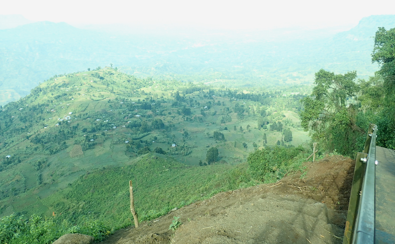
The route continues with a very gentle, sometimes almost flat climb. This is a huge
mountain and elevation is gained gradually. A horisontal traverse across the south
slope of a hill will bring you to a park
check point (location 01.17559, E034.46991, elevation about 3310m).
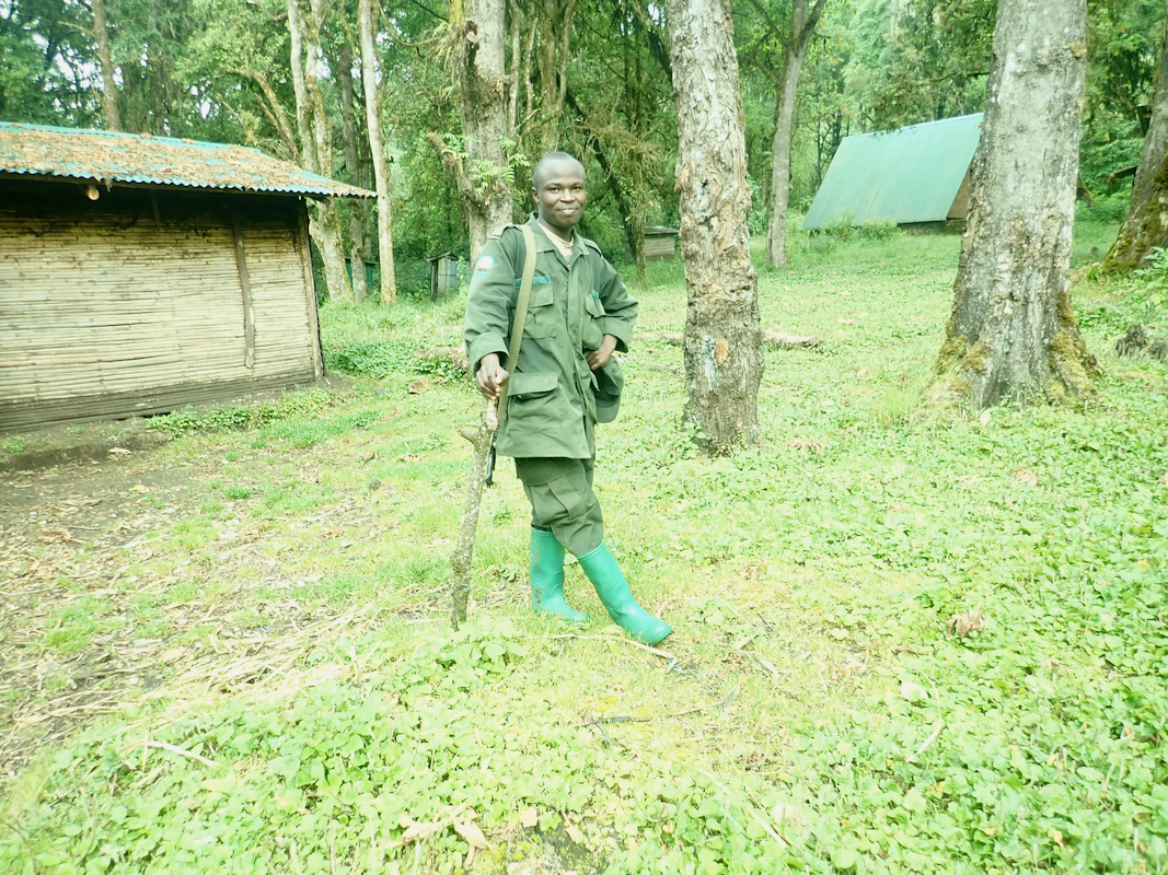
A ranger is stationed here
and a visitor register is signed while the permit obtained at the office
in Budadiri is delivered.
Continue a bit more than 2 kilometer while gaining another 200 meter, to reach a sign and
a trail fork (a smaller trail runs right to a small waterfall). Keep left, descend slightly
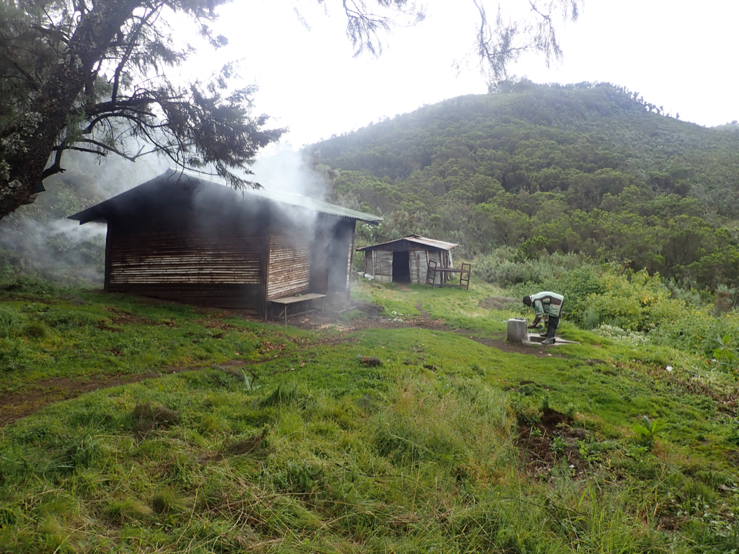
to reach Camp II, called Mude Cave Camp. This is at location
N01.16681, E034.48846, elevation about 3475 meter. There are huts for guides and porters as
well as a pretty large hut that can be used by climbers. There is tap water that can be used
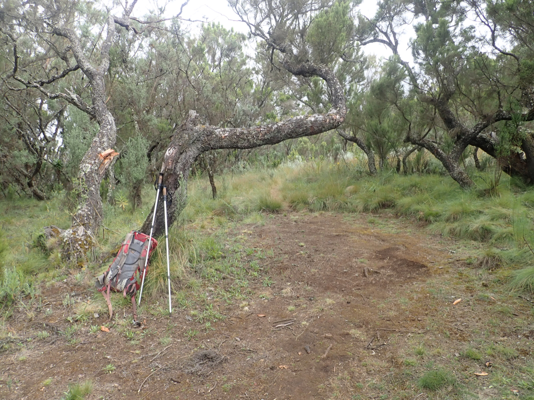
for washing and cooking, most likely just fine for all purposes. Good spots for camping.
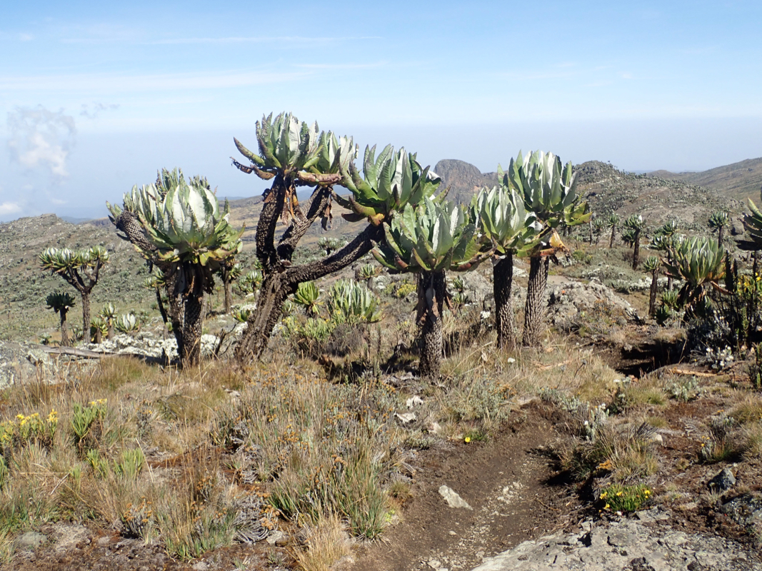
This camp is just below the treeline.
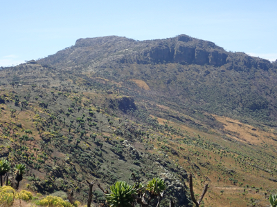
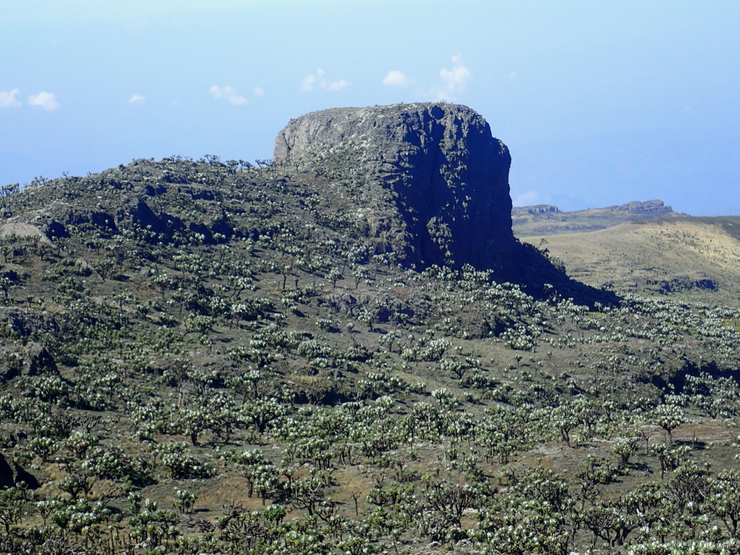
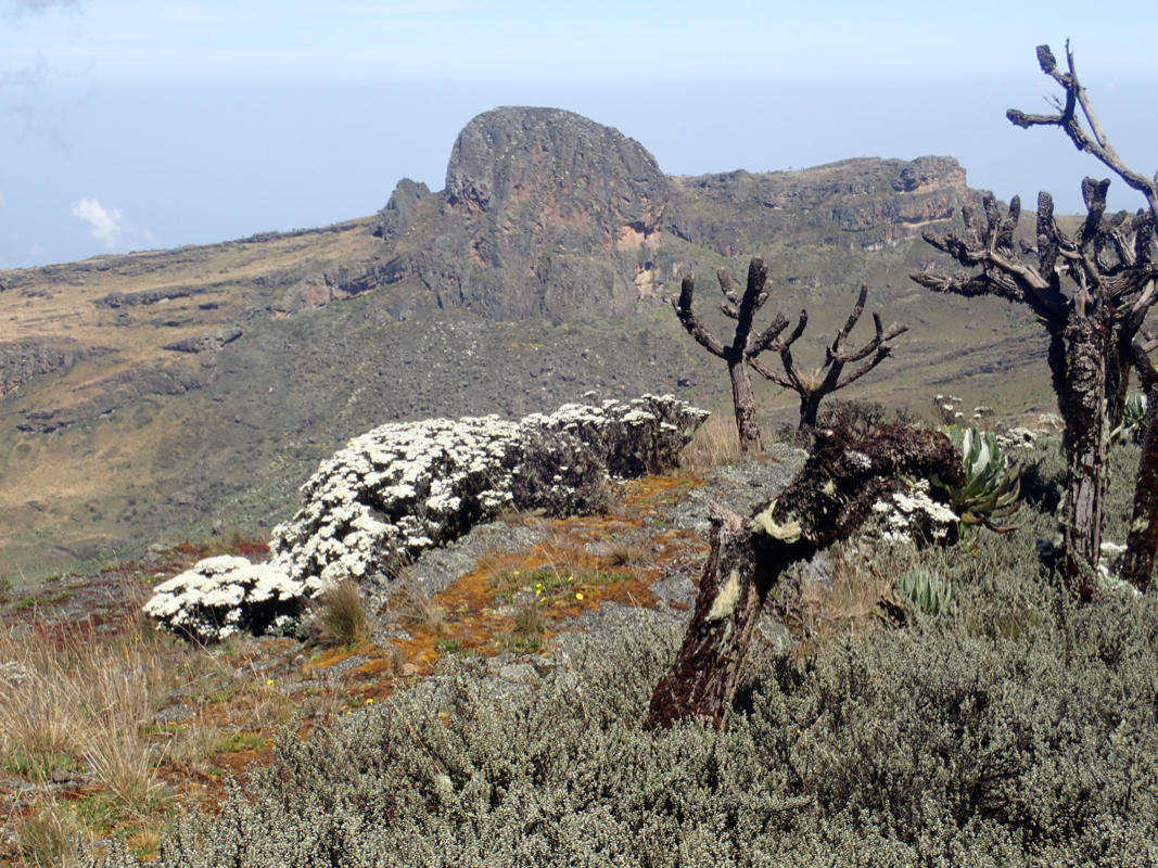
The trail continues uphill and reaches open terrain with more long range views. A characteristic
top, called Jacksons Peak is straight ahead. You will reach a signed trail fork where the summit
route stays right. Ascend on your left side of Jacksons Peak to gain a main ridge, the caldera crater
rim. Follow this south about 3 kilometer to
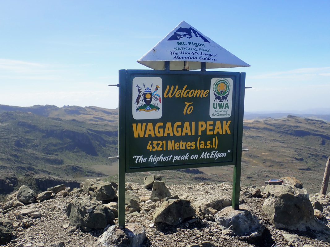
reach the highest point
marked with an official sign.
Comments:
This trip report continues from our climb of Moroto.
After a nice breakfast (pancakes!), we left Moroto and the Karunga Tours HQ, heading for Mount Elgon,
our last main goal. We decided to drive via the town of Soroti. This route is paved all the way and
we had already driven the shorter, but rougher road south of Nakapiripirit. We left at 0900 and
arrived in Budadiri at 1400, an easy 5 hour drive.
Arriving in Budadiri, we had no problems finding the Park Office. We settled the
payments right away, deciding on the details of the trip. Since we had plenty of
time and no more ultra prominent mountains after this one, we booked 2 nights
on the mountain and 2 porters to carry camping gear and water. Departure next morning.
We next checked in at the guesthouse - a basic but perfectly ok place to stay. The car
would remain here and we would take a motorbike ride between here and the trailhead, located
about 500 meter higher, at about 1700 meter.
Breakfast at 0700, we left on the motorbikes around 0800 and after some local
organization, we started hiking at 0830. Two rangers would walk with us while the porters
would be independent. We quickly gained elevation as we walked through farms, before
crossing the park boundary just below the steeper cliffs up front. The iron staircase that
had been put in place was very solid.
We made a brief break after about 1:15 on top of the cliff, good views back down. The
climb changed character here, mostly very gentle onwards. We reached Camp I at 1050 and
a 15 minute break was called by our rangers.
Next, we stopped for about 15 minutes at the park check point where we filled in
information in the visitor register and presented our paid permit. The remaining
distance was fairly short and
we arrived in camp II
at 1400. This place has several
huts for the guides and porters as well as a pretty big building where tourists
may camp inside. We preferred to
put up the tent outside,
there were many good spots.
The next morning, we left camp
at 0730 and arrived at the summit
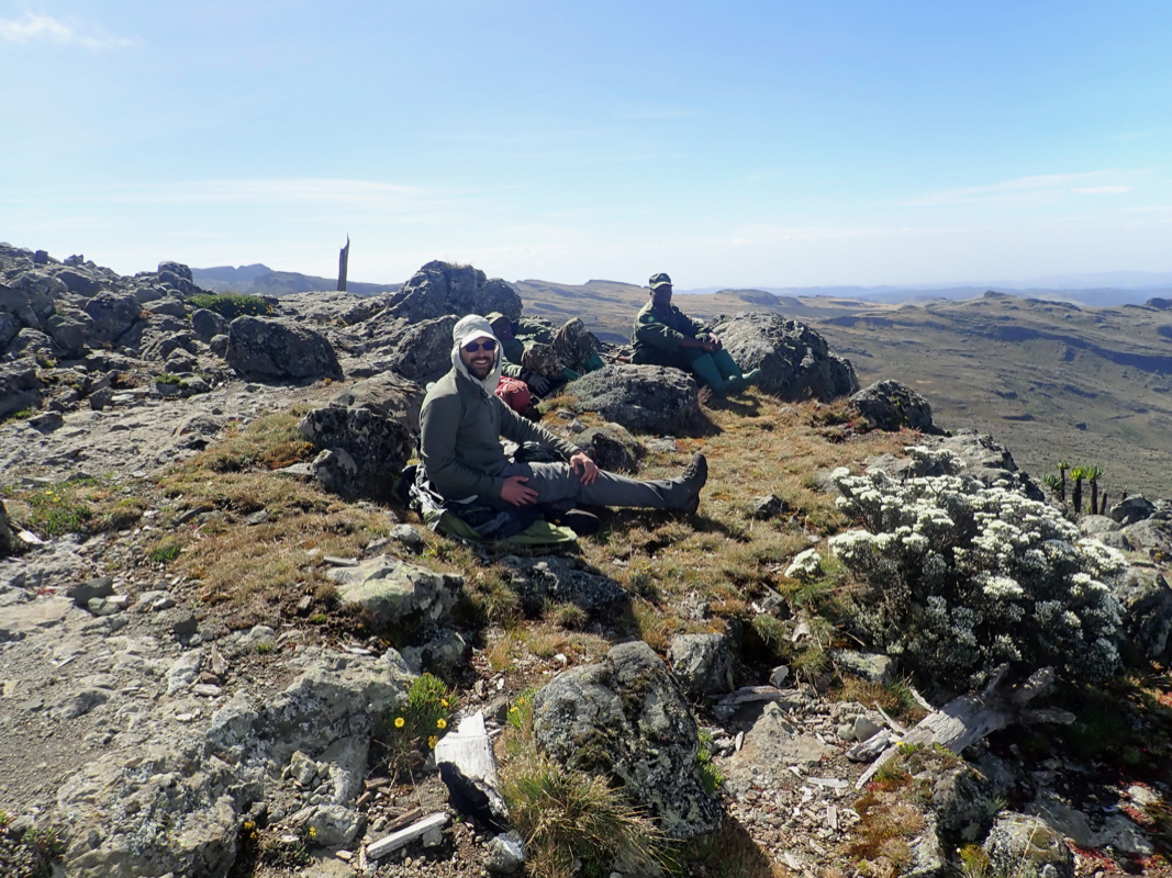
already at 1000 - so 2.5 hours.
We spent 30 minutes on top,
good views in all directions.
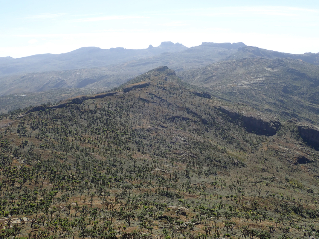
The caldera is
quite impressive and it has
several local tops each exceeding 100 meter
of prominence. Some such tops are in Kenya. We noticed the first independent
summit going clockwise from the main summit. It was named Mubiyi. We suggested
that we spend some extra time climbing it as well. The rangers were not
enthusiastic, claiming that we would need to return to the trail fork, then
head that way. We suggested to
just follow the caldera rim,
then take the trail
back to camp after the climb. It was still early in the day and this project
seemed a nice way to spend the day. Somewhat reluctantly, the rangers agreed
to our plan.
This trip report continues with Mubiyi.