Location: North 13.23689, East 038.37267 (GPS at the summit)
Difficulty: YDS class 3
Climbed February 25. 2019.
Information:
How to get there:
See the description under Inatye. Route description:
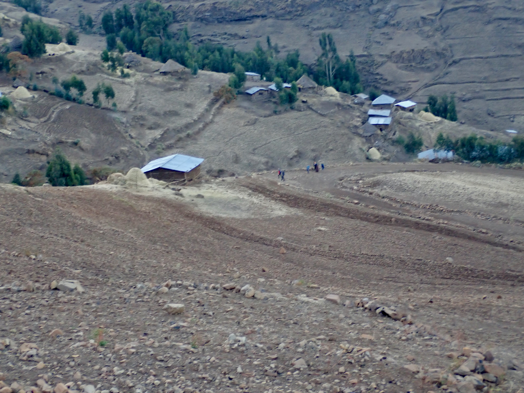
From Ambiko, first follow the trail up the valley, joining a road after
the initial stretch. This road
climbs on the left hand side of the
main valley, gradually turning more left.
leave the road near location N13.2380, E038.3235, elevation about 3480m, and
climb this somewhat steeper gully to the top. From here, ascend east following a
clear trail, ascend to a shoulder and rejoin the road on the far side. Follow the road
(some short-cuts are possible) until you reach the crest at location
N13.23163, E038.36007, elevation about 4270 meter.
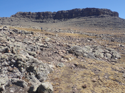
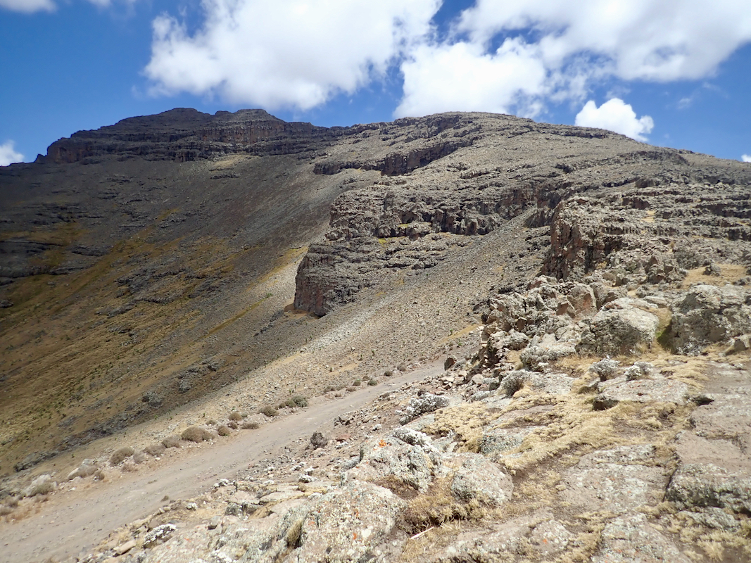
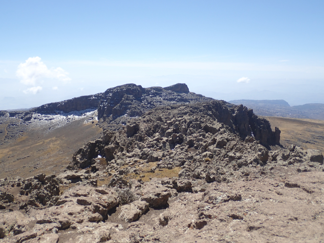
From here, there are two possibilities. A clear trail turns below the ridge and enters the
basin, leading up to the base of the East summit,
from where a short (and easy) scramble
will get you to the top of Ethiopia. There is
also a West summit, this summit is 1-2 meter
lower than the East summit. One can get directly to this West summit by turning left at
the crest and follow the high ridge
all the way to this summit. The two summits are connected
by a rocky ridge that may be scrambled, if the difficulties are a bit too much, then bypass
on the south side. One should note that the highest summit is hidden behind the ridge (leading to
the west summit), when looking from the crest (where one must leave the road).
Comments:
We left shortly before dawn using our head-torches. When daylight came, somehow
Denise and Richard found it important to continue hiking with the lamps on their
heads, appearently to save a 2 minute stop? With a large number of subsequent stops
I still do not quite get the logic - I guess such small (irrational?) differences
in behavior is what makes our world a bit more complex than needed.
The sun came up, first shining on Bwahit,
the peak we climbed yesterday, now due west.
We made good progress and arrived at the main crest around
0930. The weather was good and we followed the trail around and into the
basin, soon having the west top up left and the east summit up on our right.
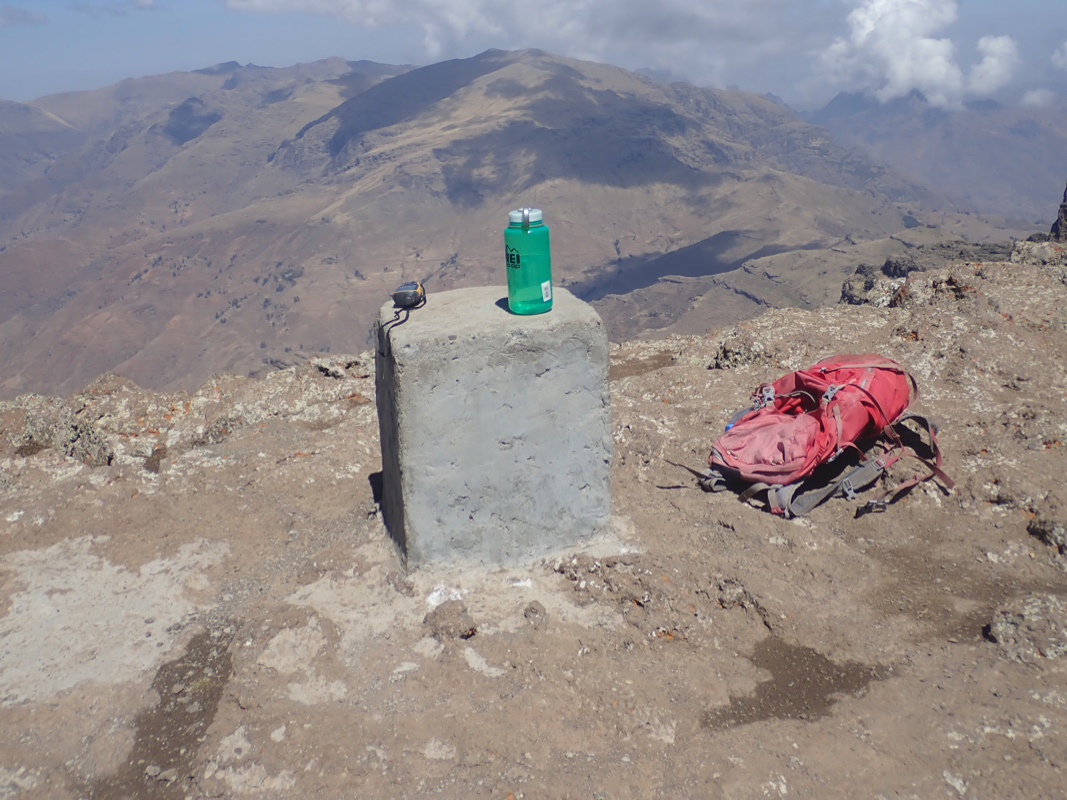
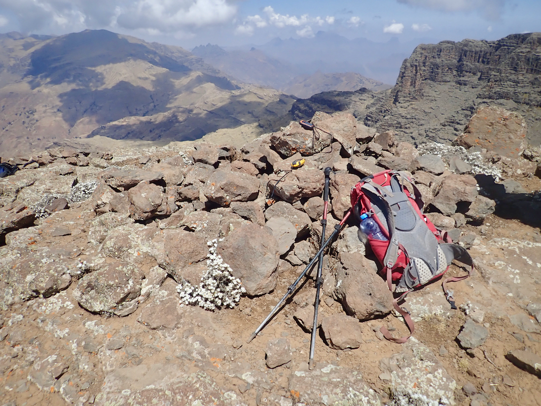
An easy scramble and arrival at the highest point
in Ethiopia at
1045.
Everybody being happy for this, our 5th. and most important ultra of the trip.
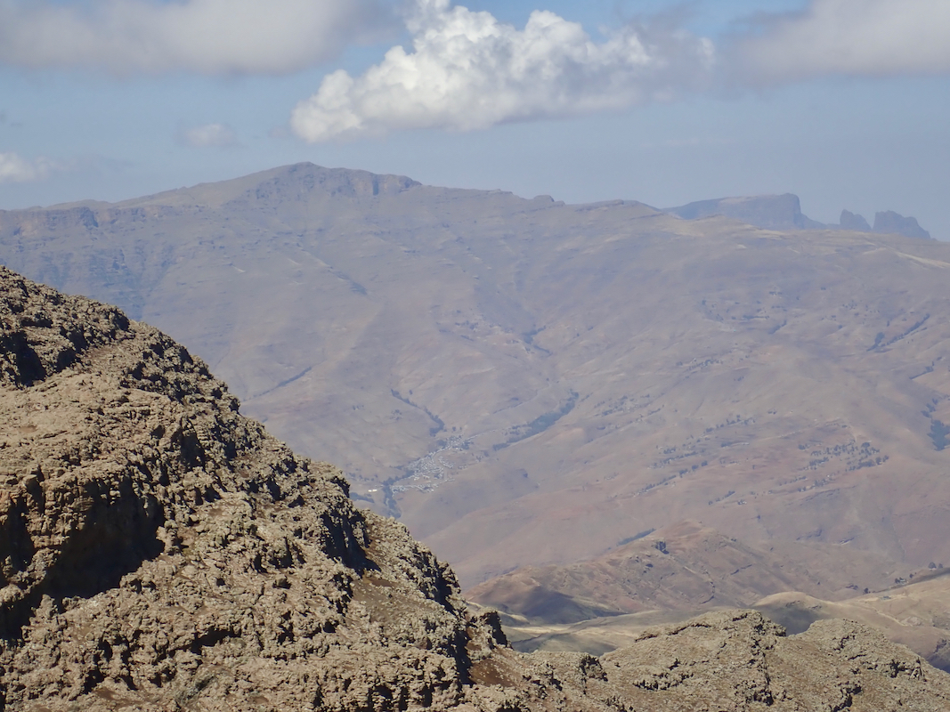
Good views in all directions. Hand level measurements quickly confirmed that
the west summit was indeed lower. We stayed around for quite a while, enjoying the
good views as well as this very special place, the 2nd. most prominent peak in Africa.
Leaving, we all wanted to scramble across to the west summit. This scramble is easier
the lower down on the south side one goes. We all made it across and confirmed again, by looking back
(hand level) that the east summit is indeed the highest.
From this summit, we all descended back
to the road/crest along the broad ridge that makes for a natural and direct route.
The hike back down to the camp (Ambiko) was uneventful. We had some afternoon rain, slightly
more than previous days and sufficient to make the soil/clay quite slippery in places.
I was back in camp before 1600, receiving a warm welcome from our support people.
The next peak on this trek was Silki.