Location: North 13.24457, East 038.21821 (GPS at the summit)
Difficulty: YDS class 1
Climbed February 24. 2019.
Information:
How to get there:
See information under Inatye. Route description:
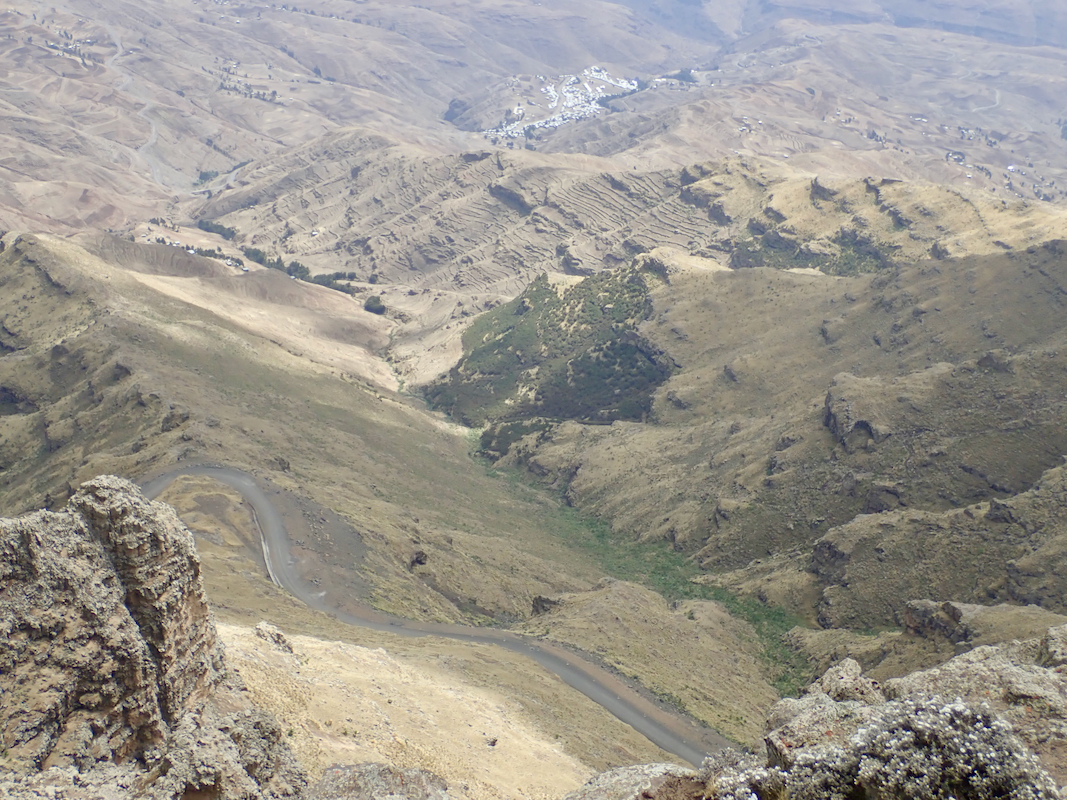
From Chennek, follow a trail that pretty much runs parallel
with the road, sometimes you also walk on the road. Higher up,
a good trail branches off in the direction of the obvious peak.
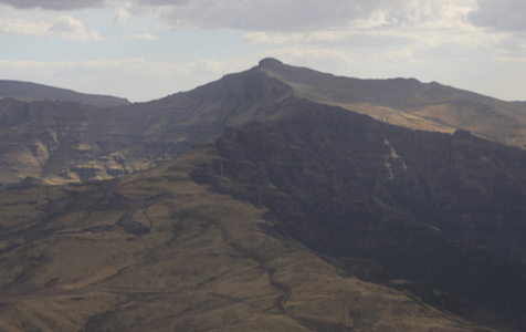
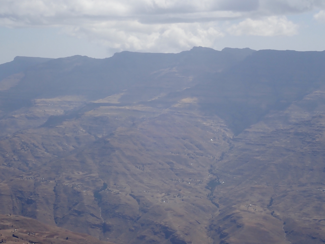
The peak is visible from the route most of the way.
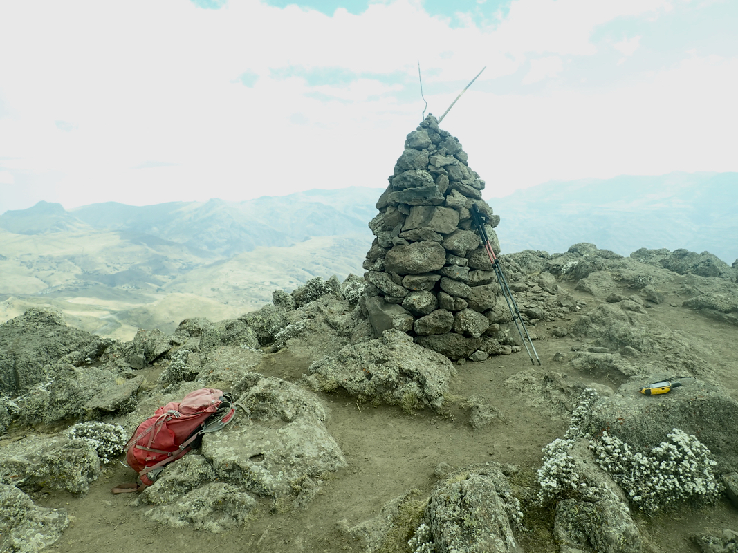
There is a cairn on the summit.
Some people regard this as the
second highest in Ethiopia, however, more correctly it is number
3. The second highest peak is located at N13.300371, E038.327533, elevation
about 4440 meter, this peak is called Kidis Yared.
Comments:
We started around 0730 from Chennek and had a good walk up, arriving at
the summit around 1045. After about 30 minutes on top, we descended on the
far side down to the place where the road starts its steeper descent.
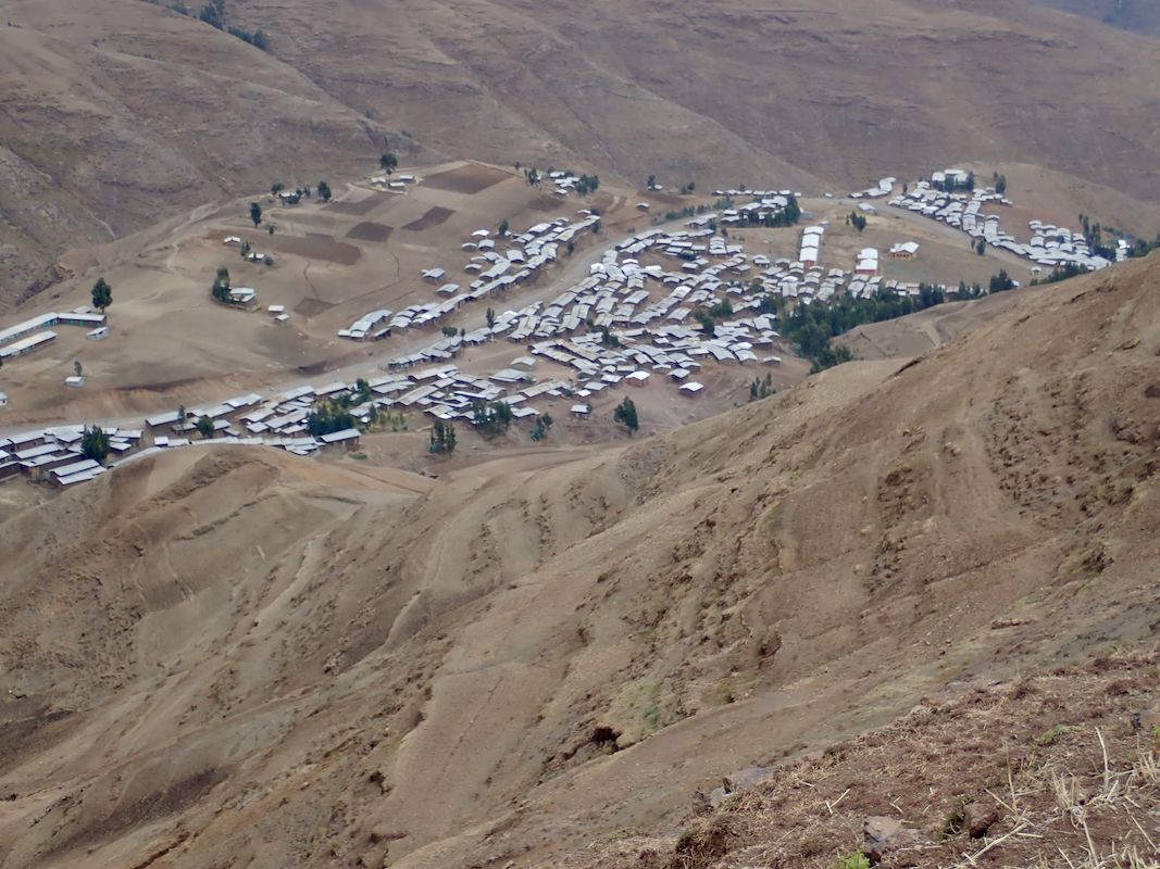
There was a good trail following down some ridge-lines eventually
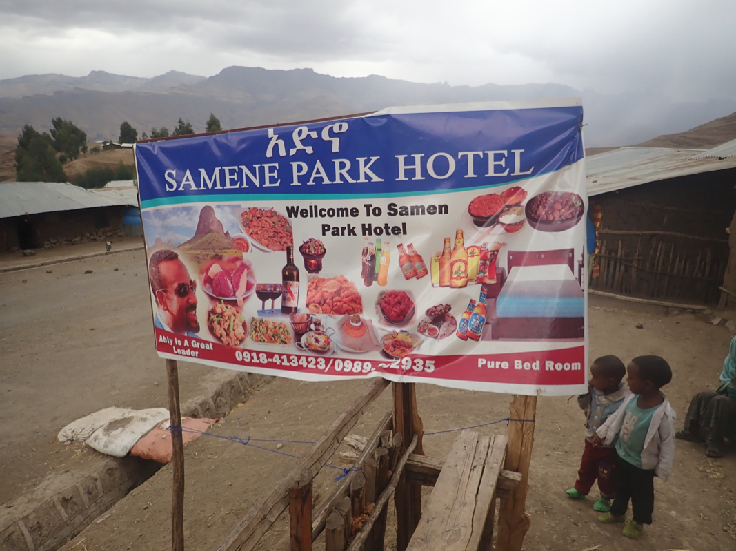
leading to the small village called Chiro Leba.
We stopped at the local hotel and had an extra Coke.
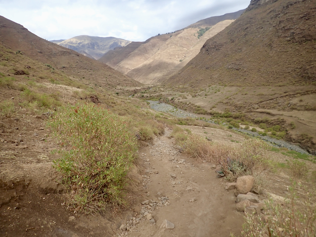
From there, our trail continued all the way
down (east) to the main river, then up
the distinct valley on the far side, continued
east to the small village of Ambiko.
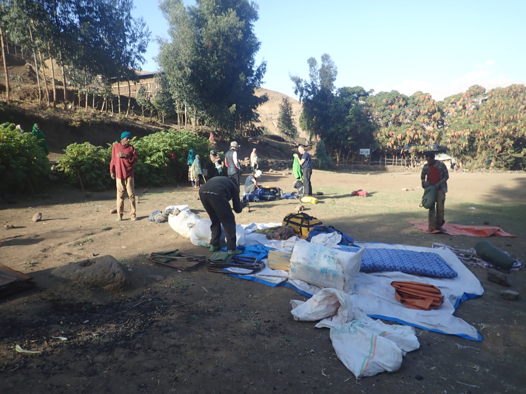
We established camp there for the next two
nights. Arrival in Ambiko around 1630.
The next peak on this trip is Ras Dashen.