From Denver, drive Hwy. 285 to the small community Jefferson. Turn left here onto
Colorado Rd. 77. Follow this road slightly less than 17 miles. You have just
passed Tarryall reservoir, look for a small road (unpaved) called Turner Gulch Rd, or
Road 23. This road may possibly be driven a short distance by a standard car, one really
needs a high clearance vehicle to continue in any reasonable way.
Measure from here. After 1.6 miles, turn left onto Forest road 144, signed Packer Gulch.
Stay on this road (ignore many roads that fork right) for 4.5 miles (mile 6.1).
Turn sharply left here in order to stay on road 144, Forest road 237 forks off here.
Continue to mile 6.8, this is a sharp right curve with plenty space for parking.
We parked here at location N39.17282, W105.58379, elevation about 3060 meter.
A sturdy 4WD can continue to drive on this road until it ends at location
N39.16055, W105.5819, elevation about 3380 meter. There were a few trees that had fallen
across the road, this may prevent a vehicle to easily drive to the end of the road.
Here is a quick reference and summary of all
peaks visited on my 2012 summertrip to the USA.
Route description:
From the trailhead, the quickest route is to head directly uphill and cross the
forest road several times. An alternative (longer hike) is to first follow the
forest road in long zig-zags until it ends (see above).
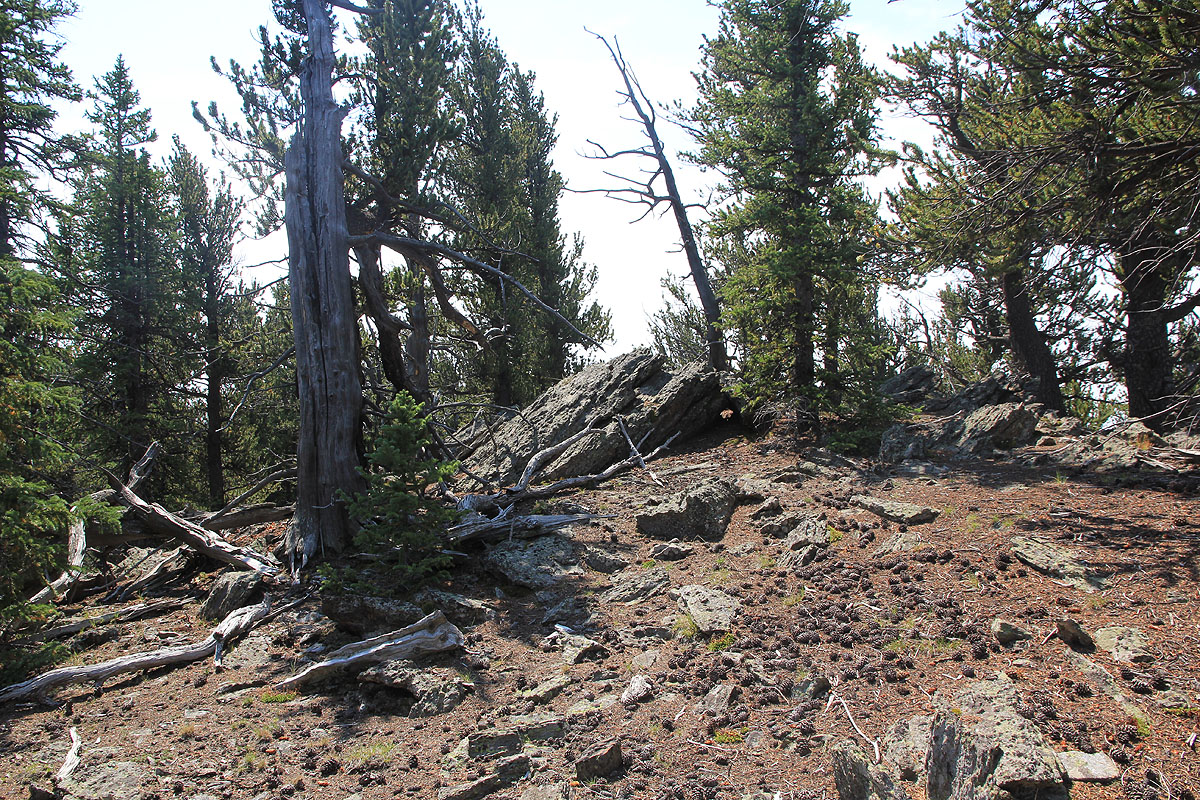
The terrain is easy to hike off-trail. In either case, you will continue uphill until
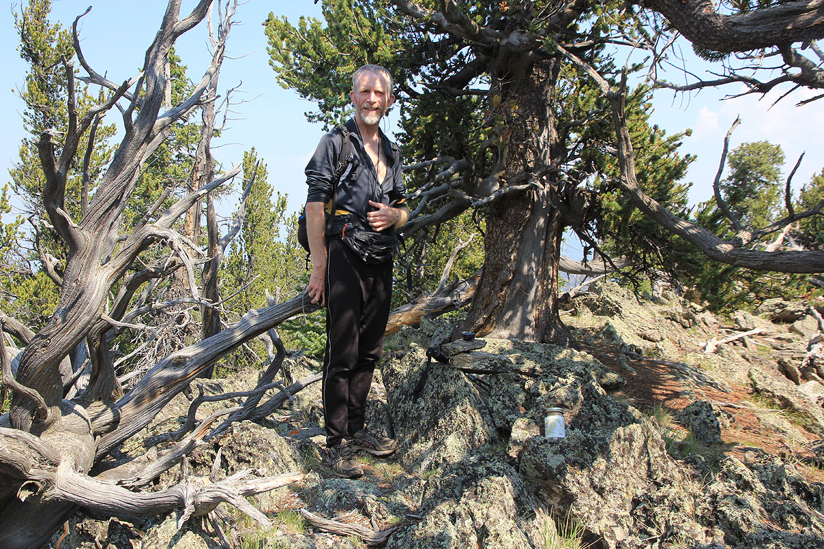
you reach the first local summit at location N39.15719, W105.58155, elevation
3525 meter. There is a summit register here.
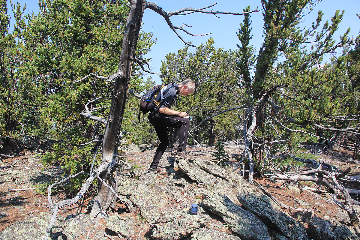
Continue slightly downhill, then uphill in order to visit the second summit, that
competes for being the highest point.
This summit is located at N39.15416, W105.58408, we measured the elevation to
approximately 3515 meter. Thus, based on our GPS measurements, it seems likely
that the first summit is indeed the higher one.
Comments:
I did this climb with Rob Woodall. We left the car (after a long and slow
drive, our rental SUV is not really made for rough roads.)
at 0950 and arrived at the first summit at
1100. We made careful GPS measurements
before proceeding to the next, competing summit.
Both summits had a trail register,
but it felt like this second summit was
lower. Our two GPS units seemed to confirm this,
measuring almost 10 meter lower there. We were back at the first summit by 1200, the descent
to the car was quick since we walked straight downhill instead of following the
zig-zags of the road.
