Location: North 24.87335, West 100.23179 (GPS at the summit)
Difficulty: YDS class 1
Climbed November 13. 2018.
Information:
How to get there:
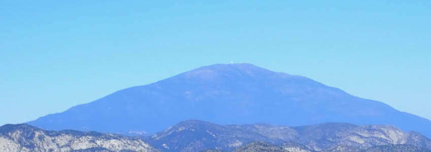
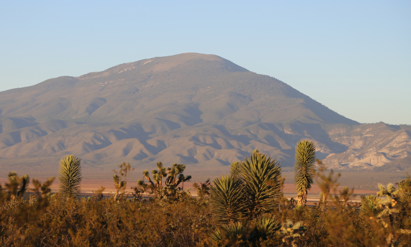
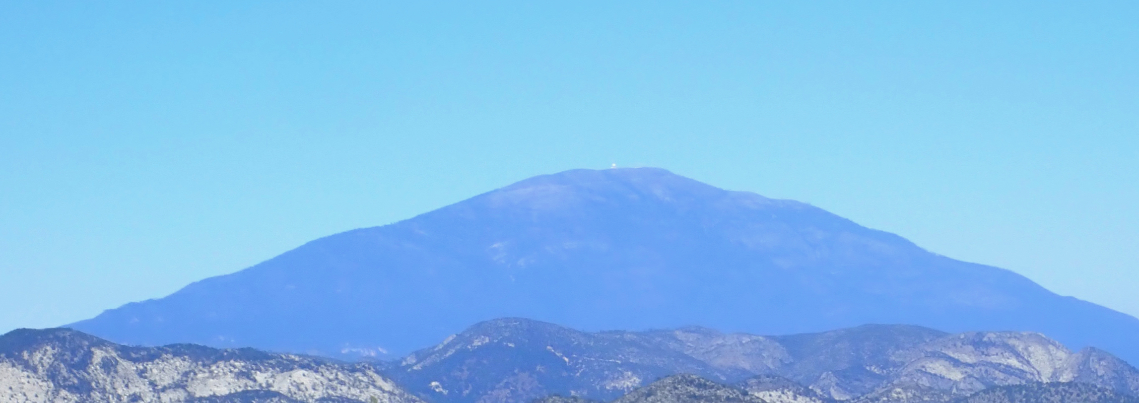
This mountain is located south of Monterrey.
One may drive south on the west side or on the east side of
the range, either way the best approach is coming in from the
south, there is a east-west road (Hwy.58 from the west) connecting the two
main (north to south) roads. Drive north from Hwy. 58 to Galeana, then west and again north to the
village Diechiocho de Marzo. Locate a small road heading left at location
N24.88809, W100.17785, this is the beginning of the summit road.
Route description:
This is a drive-up route. There is also a trail route, but it will
not be described here. Locate the start of the road at location
N24.88809, W100.17785, elevation about 2010 meter. Follow the road,
cobblestone, for 26 kilometer as it winds its way up the mountain.
One should allocate at least 4 hours for the (round-trip) drive. The road has a few
rough spots so high clearance is recommended.
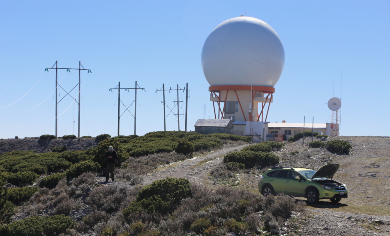
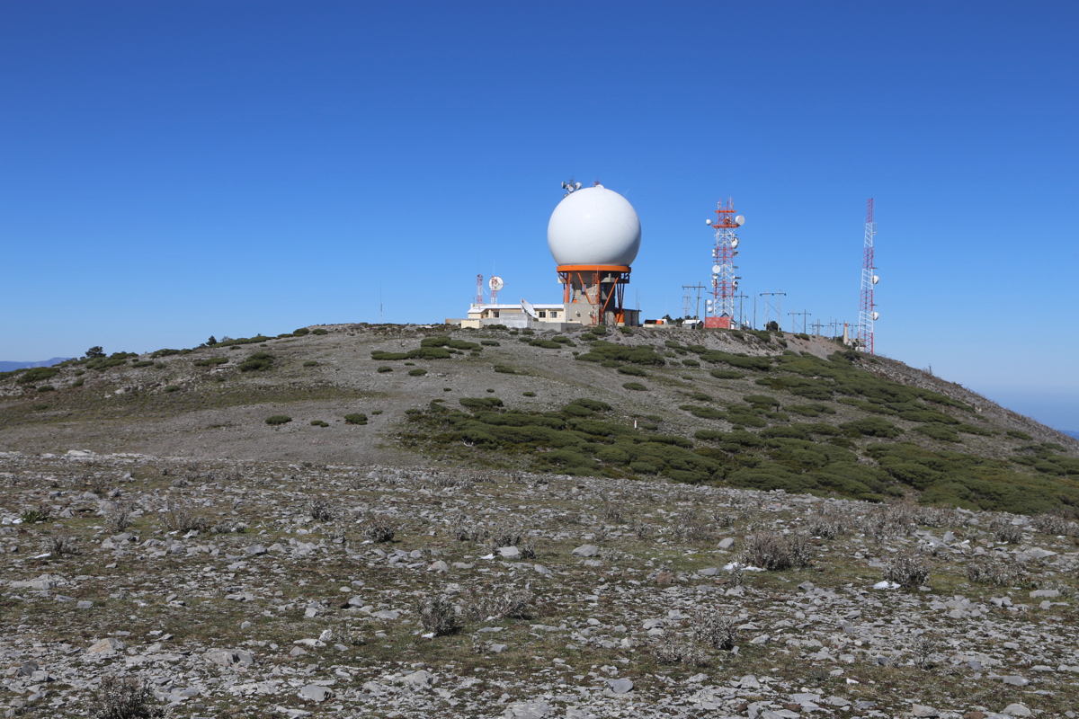
Comments:
Adam and I were on our way back from Onofre to Monterrey and we planned
a visit of this ultra along the way. We were slightly surprised that the
drive-up took more than 2 hours.
Arriving at 1345, we walked around
and investigated the two spots that competed for being highest.
I also made the short hike to the south summit,
confirming that it is clearly lower.