How to get there:
See the description under Tobacor (2769 m) Route description:
We made a traverse of the mountain.
The classical route which we followed on our return hike to Goriz
poses no particular difficulties in late August or early September when
there is no snow. The upper part of the scree slope on Perdido is quite
steep and the route may perhaps be avalance prone under unfavorable winter
conditions.
Our route, (supposed to be called "route de Escaleras") climbs the mountain from
the south side. We left the trail and angled to the right while gaining some
elevation fairly soon after Goriz. However, it seems that our map was quite
misleading and this route probabely follows the classical route further than
what is indicated on the map.
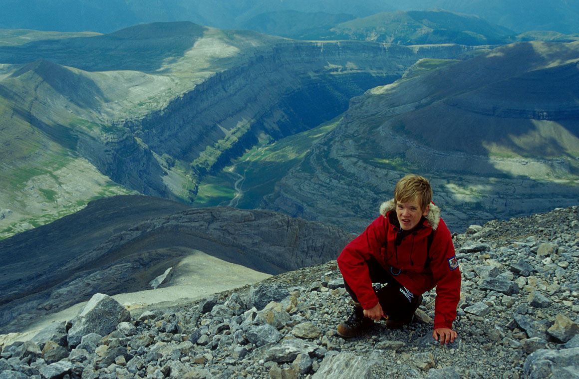
We started our climb on the very smooth slope connecting the (rim of) Ordesa canyon
with Perdido. Just a few meters east of the very end of what might be called the
south ridge of the mountain one can advance up by easy scrambling. Thereafter, we first
tried to bear up some sloped rock to the right, but came to the conclusion that we
rather should try to climb on the very left side, on what might be considered
the ridge itself. With a steep drop to the left side, easy climbing got us up
on a flat plateau, just under a vertical, steep rockface. We discovered a small
trail that went both ways (left and right) under this cliff and decided that going
left (west) looked more promising. After a few hundred meters, it was possible
to climb up and thus circumvent this quite formidable obstacle. From here the
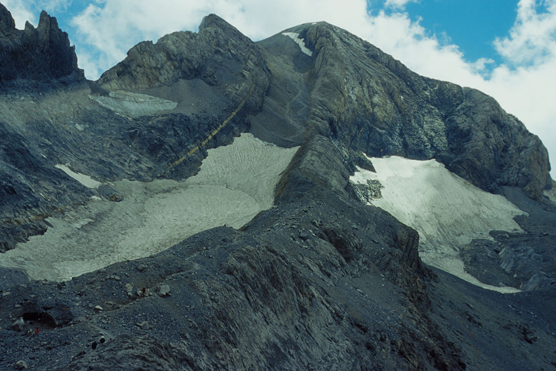
route became more obvious, we passed the next rockface to the right, then straight
up to a smaller rockband that had a short steep pitch at the very bottom (III).
The final rockband after more walking on the south slope, was longer, about 30 meters,
but not difficult (III-). We did however, use our climbing rope for added security
on several of these pitches. The last stretch to the summit is easy hiking. Comments:
Our route was clearly not in frequent use, the beginning may likely
not even be part of any described route. We saw nobody until we reached
the summit, despite a very nice day and surely about one hundred persons
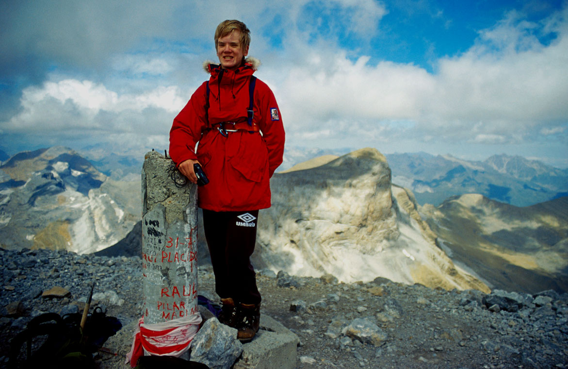
headed for Perdido from Refugio de Goriz. The summit has a very nice view
in all directions.
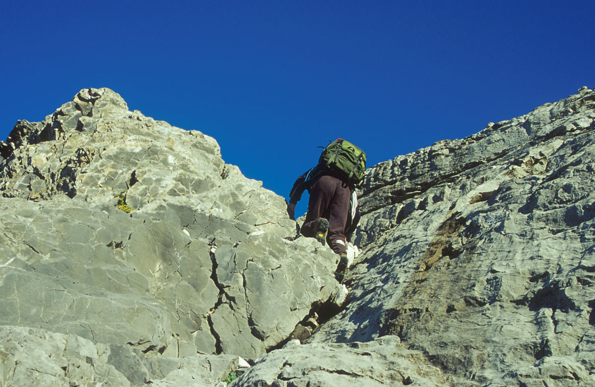
The steeper part begins. We traversed from Refugio de Goriz
onto the slopes from Perdido facing the canyon, this crack was the
first section of class 3 climbing.
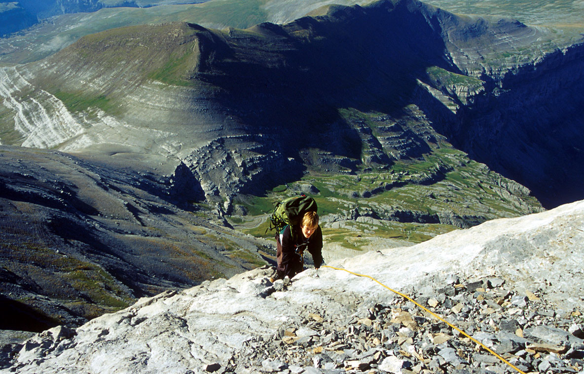
The upper slope of Perdido, we climbed the crack
in the first rockband, then continued to climb one
of the three cracks in the second band, most likely the
rightmost.
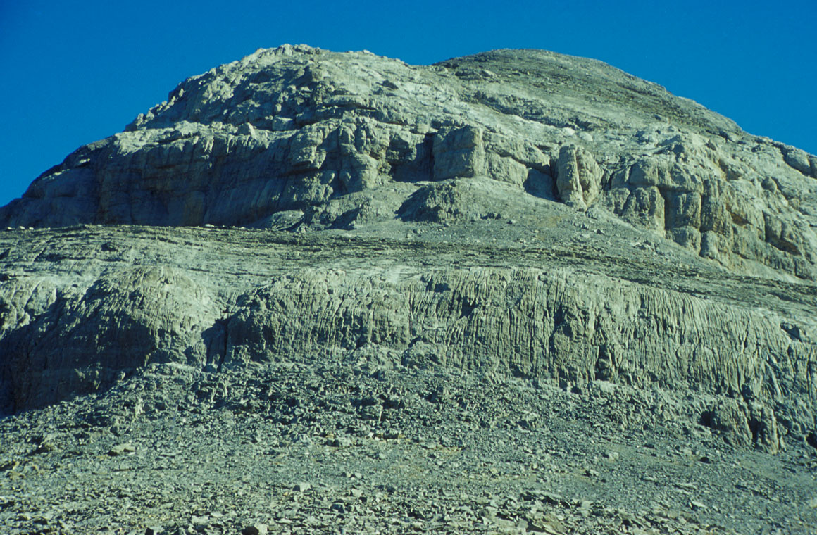
The normal route, gains the basin between Perdido and Cilindro de Marbore,
then climbs the distinct ridge and proceeds up the large gully higher up.
Finally, the last part of the route follows the horizon ridgeline.