Location: North 15.49957, West 91.91513 (GPS on the summit)
Difficulty: YDS class 1
Climbed December 11. 2016.
Information:
How to get there:
The town of Huehuetenango is a good point of reference.
Drive to CA-1, (The Pan American Highway), and follow this
road north-west for approximately 50 kilometer.
On, or near location N15.51492, W91.83232, there is a road fork.
The CA-1 continues straight across a bridge (over the river), but an
almost equally big road curves left and follows the river, keeping it
on your right hand side. Follow this road. Fairly soon, you should locate
a (smaller) road that forks right and runs uphill to serve the village called
La Libertad. This fork is near location N15.51823, W91.83792. This uphill road
is still nice and with a solid, concrete surface.
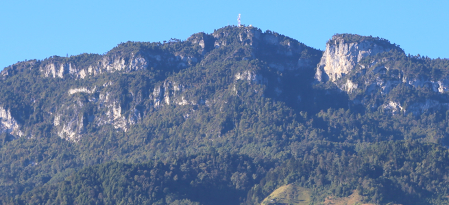
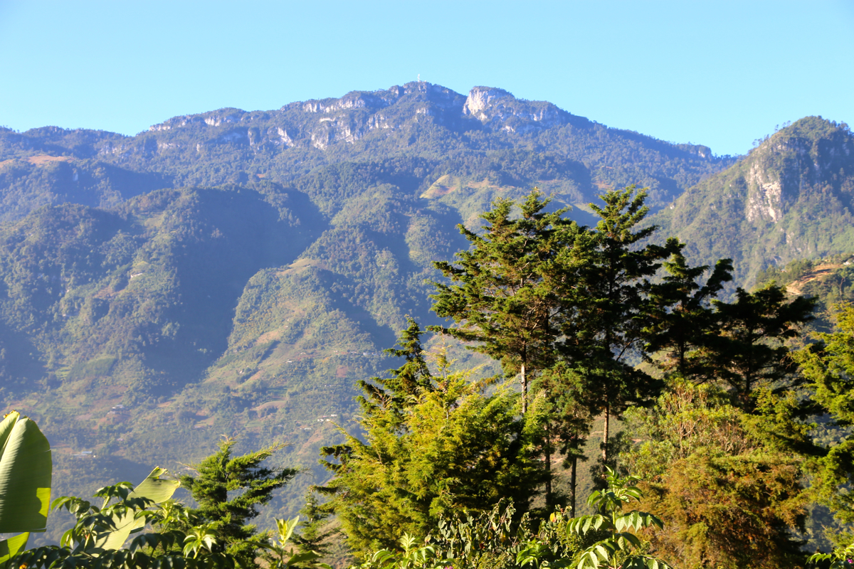
From La Libertad, one has a clear view of the summit.
La Libertad is located on a steep ridge, this village has very steep streets,
skillful driving is required. The trailhead, called La Cruz, is still much higher.
Rob Woodall reported that the most direct road leading from La Libertad to La Cruz,
was blocked by a barrier half way up. In La Libertad, there is a road fork at location
XXX, going right here avoids this potential problem.
This route is quite a detour, but possibly still the only viable route to drive.
Initially, the road descends, then more horizontally before it starts climbing. The road
(in 2016) was pretty bad in places, going steeply uphill with more character of rocks
than road. It gains the main ridge, then turns more left and after a few small descending
hills at the very end,
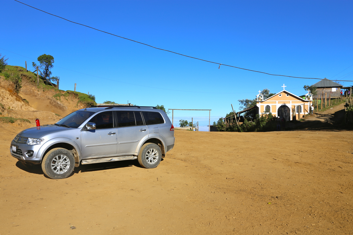
reaches the large col called La Crux. Park here, this
location is N15.52021, W91.90897, elevation about 2575 meter.
Route description:
There are two trails, be certain to take the one that immediately heads uphill, leaving the
La Cruz area more right than left when facing in the direction of the mountain. Follow this rather
big trail uphill, it will reach a local high point, then go more level before descending a bit
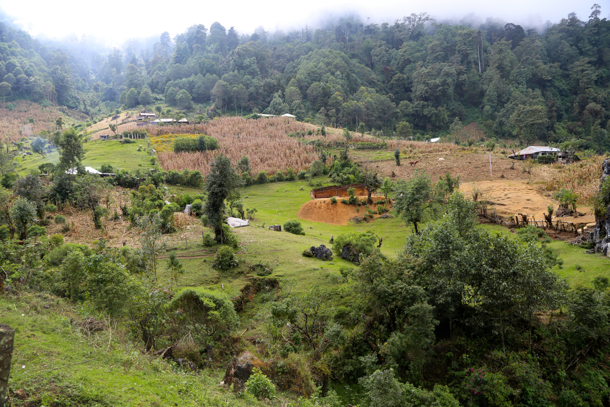
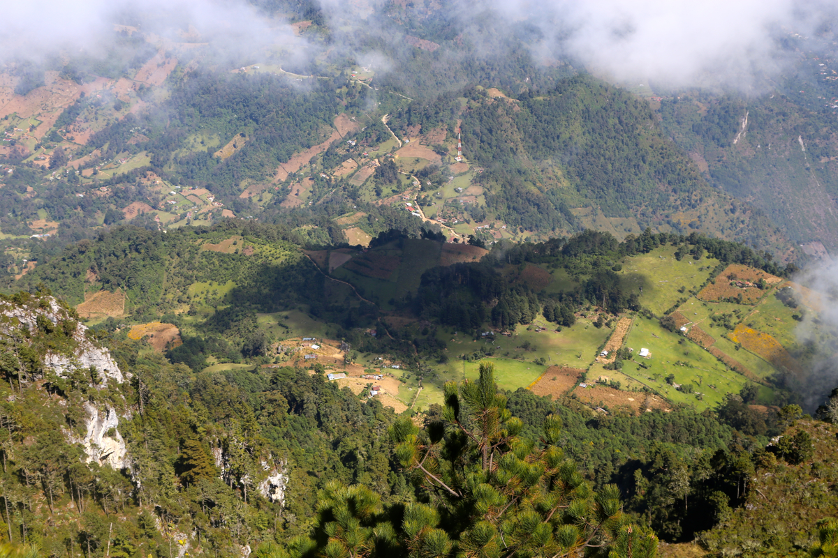
to an area with several small farms.
You should continue straight near a lowest col where another
trail merges in from your left, this is at location N15.51054, W91.90678, elevation about 2850 meter.
Continue along the pretty obvious trail as it again climbs and leaves the farm area behind. Soon, you will
gain a small flat area, make sure to take the left forking trail here (going uphill), another big
trail runs more right (descending slightly). Continue to pick the trail that runs most directly uphill
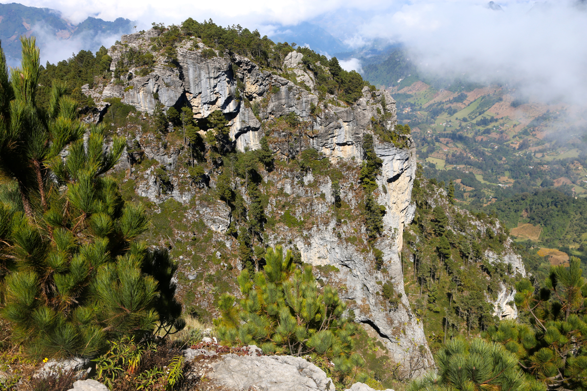
at a few subsequent forks. The route heads directly uphill towards a significant cliff-band that you will
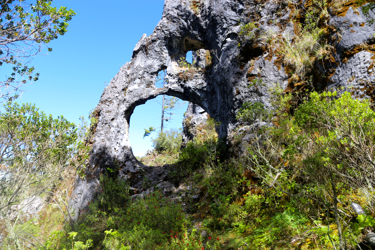
see as you get closer. Next, follow the trail right, just below these cliffs as the route will bypass this
obstacle. You will get to an interesting section where the trail runs
through a hole in thr rock. Higher up,
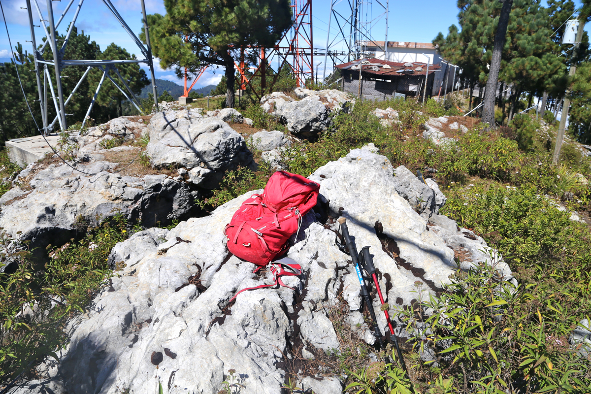
the slope is more gentle, the route runs straight ahead in order to climb the final hillside. On top, the route
sort of follows the ridgeline left and gradually higher until you arrive at the summit with
antennas and a small building.
Comments:
I left our hotel in Huehuetenango at 0500. There was surprisingly
heavy traffic on CA-1, add to this an almost uncountable number of
speed-bumps that essentially requires a full stop. I had the GPS coordinates
for the turn-off from CA-1, however despite all good intentions this was
rather misleading. The coordinates showed a major fork with a big 2-lane
road continuing, in fact this looked like the main road. Unfortunately,
precisely at this spot there was also a very steep farmers road going straight
up the hillside. Arriving at this spot, I had no reason to believe that my route
continued up the farmers road.
Steep enough to make most drivers hesitate, I shifted to low, hit the accelerator
and charged uphill! What a road, concrete surface with crossing stripes in order
to provide enough tracktion. The road continued uphill, I arrived at a small
farm where a man could inform me that I was on the wrong road.
The correct side road from the main valley serves a small town called Liberitad.
This road is two lane and paved (concrete) all the way as it climbs with many
curves. However, more challenging driving was still ahead.
First, as soon as you enter this town, you will discover that it is buildt on
a fairly steep and narrow ridge. Almost all streets are steep, inparticular the
roads that fall off to the two sides of the ridge.
I did not try the road that Rob Woodall reported as blocked. The alternative
turned out to be quite challenging, a high clearance with 4WD and a pretty low
gear transmission was definitely a minimum requirement. Add a good mix of
experience and guts with the driver and indeed,
I got my vehichle all the way up.
The hike did not start out perfectly. I only saw the trail going left and followed it sort
of blindly. This trail served some farms, but it became increasingly clear that it traversed
too much and thus never gained the ridge. I found a smaller trail that went straight uphill and
decided to follow it. This trail got me up to the farm area,
but quite on the opposite side
from where the correct trail ran. After crossing some fields and some fences, I finally joined
the proper trail at the trail fork in the middle
of the farm area.
The rest was pretty easy
and I summited around 1105.
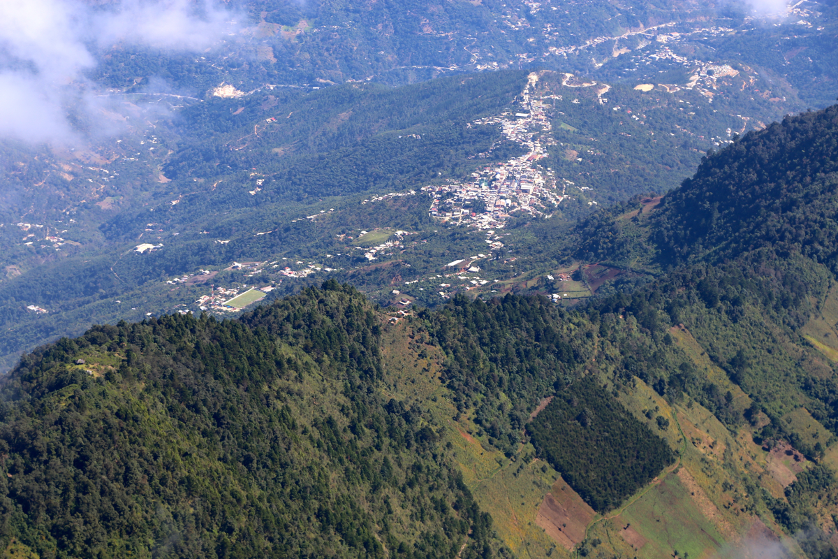
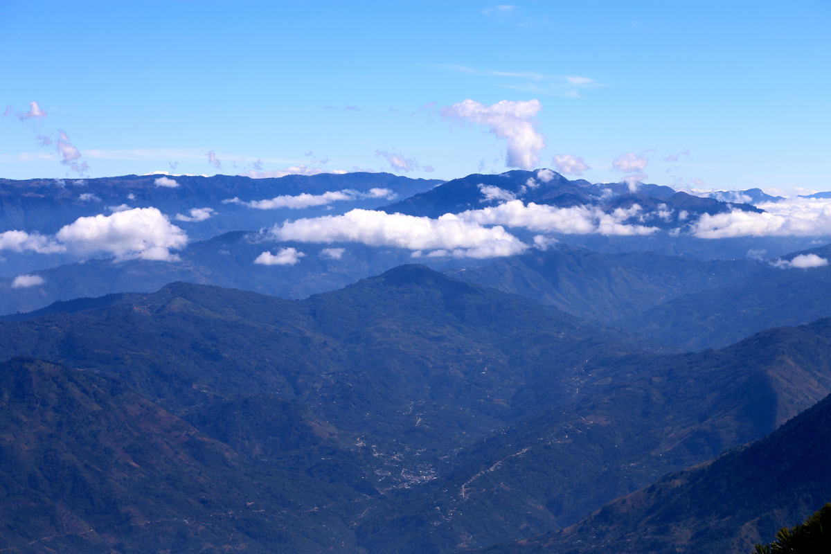
Quite a nice spot with excellent view back down
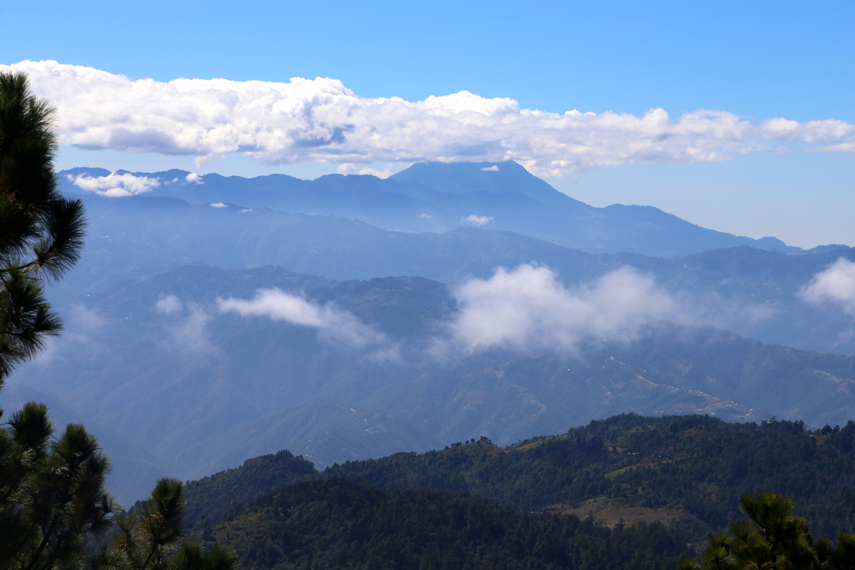
into the valley. In the opposite
direction I could see Tajumulco,
the highest mountain in Guatemala that I climbed about
6 years ago. The cliffs that protect
this summit are nice, also as viewed from the top.