Location: South 26.98107, West 065.71479 (GPS at the summit)
Argentina
Difficulty: YDS class 3 (Only summit block)
Climbed: February 20, 2022
Information:
How to get there:
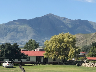
This mountain will catch your attention if you visit the
town Tafi de Valle. It is located directly south on the opposite
side of the lake. From Tafi de Valle, drive south passing the lake
on your right hand side. Just as the lake ends, fork right on Hwy. 355.
Turn left at locaation S26.94747, W65.711 and continue uphill until the road
ends at location S26.95684, W065.71377, elevation close to 2200 meter.
This is the trailhead, there is parking for a few cars.
Note:
Route description:
One should pay attention in the beginning of this hike, as one may
easily go wrong (we did). Head uphill from the trailhead while also
tending left. When near location S26.95902, W065.71193, elevation about
2275 meter, make certain to ascend uphill, then locate a trail that curves
into the valley up front. Lower down a clear trail will cross the (possibly dry) creek.
Do NOT folow this, ie. you should not cross the drainage.
Once on the correct trail, it is easy to follow. The trail runs in the hillside on the right
side of the valley (facing uphill), then curves around left before it exits the vegetation
arriving on a ridge that continues uphill. Ascend along (slightly left side) this ridge
approaching a wider slope (face) that steepens up front. There are two options here.
One may follow the most visible trail as it crosses left near the base of the hill. Appearently,
this trail will curve right and cross over to meet the other possible route. The second and most
direct choice is to ascend the slope straight ahead from the ridge you followed. There are trails
and some markers that may be followed.
Higher up, the trail is generally easy to follow, look for markers. It may disappear partly
when crossing areas with tall grass. The route continues while passing a few false summits,
finally turning more left to reach the highest point. There are some antennas and several
local rocks.
The highest rock
requires an easy (YDS) class 3 scramble.
Comments:
Here is a quick overview of the peaks climbed on this trip in Argentina.
This was declared a rest day, but we needed to do some little hike. The mountain had already
been noticed, it stood there overlooking Tafi de Valle and asked for a visit.
Franco drove us to the trailhead. H{\aa}kon came along to test his physical, he had been
struck by some nasty health problem and his participation on the upcoming Bolson climb looked
questionable.
We left at 1100, then almost immediately followed the trail that crossed the creek and started
ascending on the left side. This was a big mistake, it took us about 30 minutes to backtrack
and find the correct trail. It was pretty hot and soon it also became evident that H{\aa}kon was
moving too slowly. We separated, H{\aa}kon subsequently made the ridge above the trees while Adam and
I proceeded to the summit, arriving there at 1400.
A nice summit with good views.
We stayed around for 15 minutes, then headed back down. The descent was faster,
we reached the car in 1.5 hours at 1545. H{\aa}kon returned at the same time and we
travelled the short distance back to our hotel in Tafi de Valle.