Location: North 01.26719, East 035.49962 (GPS on the summit)
Difficulty: YDS class 2
Climbed February 7. 2020.
Information:
How to get there:
Shortly after passing the Kaisungur hill, you arrive at the
small place named Kaptalamwa. Turn right here, onto a dirt road.
Follow this road to the
town Tangul. Bear right in the town and continue
downhill crossing the valley and drive uphill
on the other side to gain
a distinct ridge. Turning uphill along this ridge will get you
to a KWS (Kenya Wildlife Services) station.
This location is N01.16284, E035.49325, elevation near 3000 meter. Park here and ask the
KWS staff to safeguard your car.
Route description:
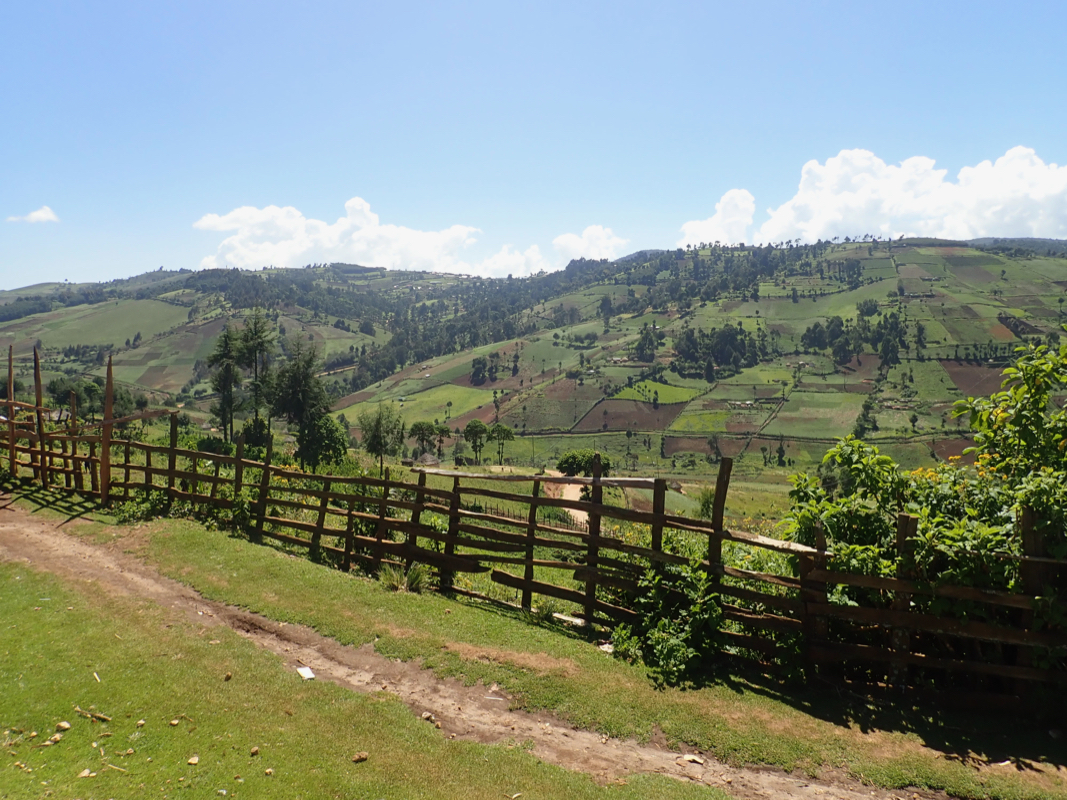
An old 4WD track continues quite a long distance, however a key bridge crossing the main
river does not exist any more. Also, the descent from the first ridge is steepish on grass,
if it rains, this hill may be difficult to drive back up even with a 4WD. Thus, the trailhead
described above seems quite reasonable.
Follow the track as it descends the hillside from the ridge, it next curves into the valley
floor before crossing back out on the other side. The road now turns a second ridge and
enters the main valley where the main river flows. There is no sign of a bridge anymore.
There is a fallen tree that one may
balance across on foot. Next, follow the road as it
gradually (very gentle climb) runs up the valley with the valley floor on your
left hand side. After several kilometer, you will arrive at some grassy hills that run
a bit across the direction you have been hiking. Pay attention here, the road now starts
an uphill climb in the forest, sharply right. This location is N01.19813, E035.49215, elevation
about 3040 meter. Stay on the road as it makes several zig-zag turns, then eventually
traverses off to your left (when facing uphill).
The road now emerges onto a main plateau and curves right while slightly descending. Leave the
road on a small trail that climbs just right (east) of a local hill. See the GPX track that
can be found on Peakbagger. There is a trail that avoids most bushwack staying more or
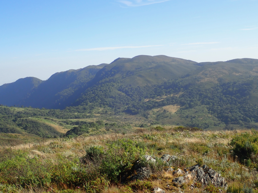
less on a broad ridge connecting north to Kamelogon, the peak that is clearly visible from
the route.
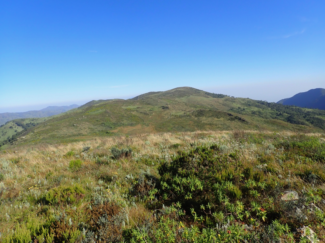
Cross over the top of Kamelogon, location N01.24964, E035.50067, elevation near 3500 meter.
Next, follow the high ridge as it descends, then crosses a smaller bump on the broad ridge before
a final ascent to the summit of Nakugen.
This ascent may be done in a long day by a strong party, however most people would like
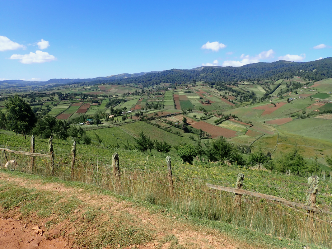
to split this trip across 2 days. We noticed farms and dwellings pretty close on the west
side of Kamelogon. It is very likely that one may access this area by a 4WD vehicle. Such
an approach, more directly from the west, would make this climb much shorter and easier
compared with our access from Tangul on the south side.
Comments:
The previous part of this report, describes Kaisungur.
After visiting Kaisungur, we realized that this day that started with rather grim
prospects of several days on bad roads in the Cherangani Hills, had turned to be
our first day in Kenya with positive surprises what concerns the quality of roads.
We continued to Tangul, gthe road was rough in a few spots, but overall quite
acceptable. We tried driving onwards after the first ridge, but the grassy hillside
was steep and I did not like the possibility of rain. Instead, we turned uphill
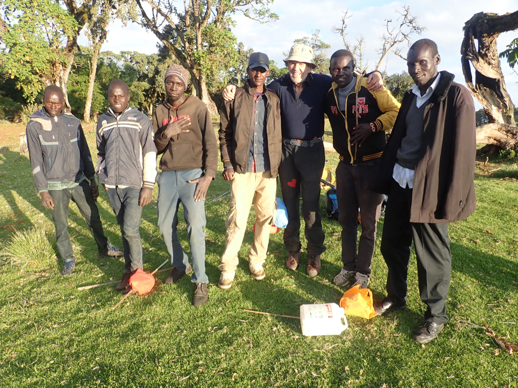
along the ridge and ran straight into a KWS camp. They granted us permission
to park and promised to look after the car. They had no idea of Nakugen, the route
and how to get there, so we were happy to proceed without any local guide as soon
as they confirmed that there were no lions around.
The time was already 1530. I decided that using the remaining daylight, then camp
would potentially save us a full day. I knew that Adam dislikes camping (or more precise to
carry the extra load required), but he ageed that this would be a good way to
proceed.
We soon discovered the missing bridge, so driving would really not have helped much.
The walk along the old road was nice and we discovered the col where the road started to climb.
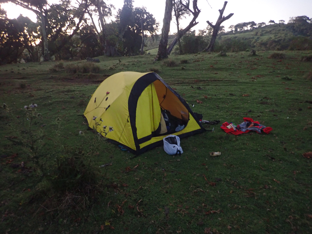
We continued along the road, a bit longer than anticipated as we arrived at the end
around 1815. Just enough daylight left to put up the tent and make dinner.
A bunch of local shepherds appeared,
we talked for a few minutes before they left.
We got into my tent and soon fell asleep.
This was a first in the sense of going on an overnight
trip in Africa and camp in the forest without any local guide.
We got up early and started hiking at 0700. We walked towards the
long, gentle skyline and
cached most of our gear between some trees. It was hard
to avoid some bushwack, also there were
tussocks with water around that caused
slightly slower progress. We got onto smaller trails and
the rest of the hike went smoothly.
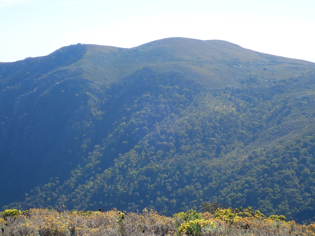
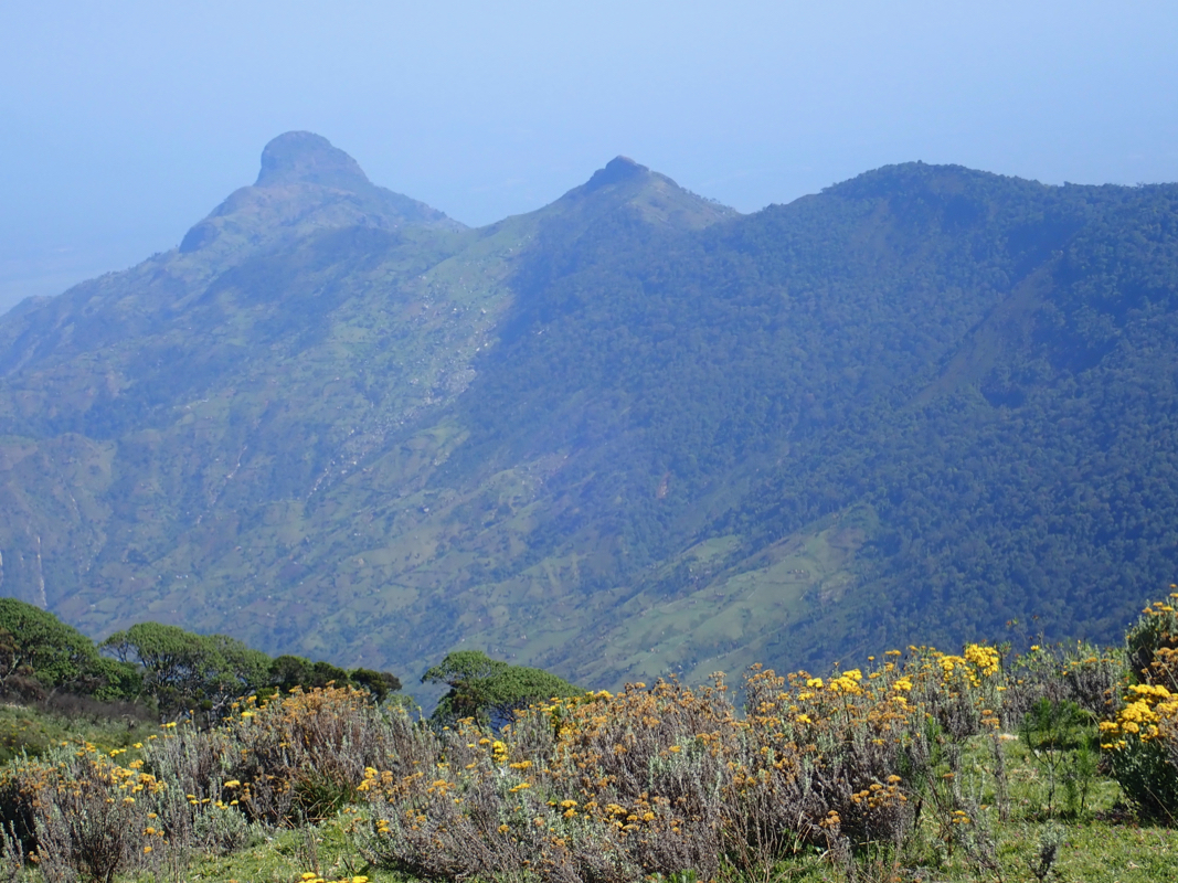
We arrived at the summit at 0940. The big question
was Chemnirot to the east. The maps show the same
highest contour on both peaks. My GPS recorded 3528 meter on Nakugen.
I carried my hand-level for this purpose. Careful measurements
clearly showed Chemnirot to be about
10 meter lower. The viewing conditions were near perfect.
Adam repeated my check and came to the
same conclusion. We were both happy, since a close measurement would have forced us to hike
across and visit that peak also. We estimated that this would have added about 2 hours to
our overall trip.
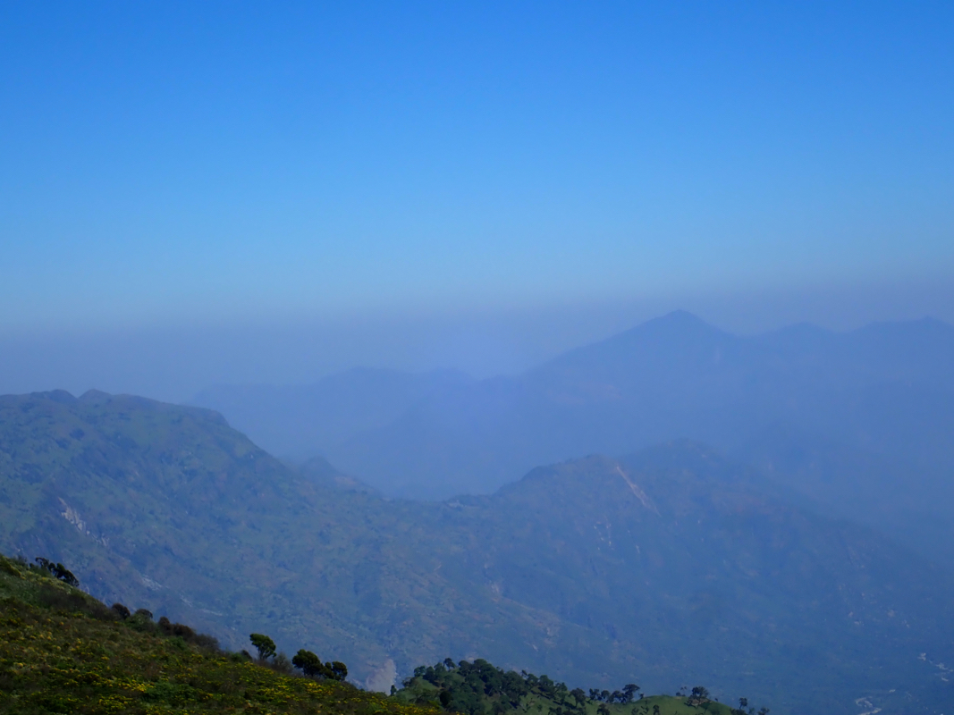
We stayed 30 minutes on the summit. The views
north towards Mtelo was limited by haze.
Still, interesting landscape a bit closer
and a good place to celebrate some success after
significant trouble with the roads earlier in the trip.
The return hike was long, but without any surprises. We were back at the car in 4:10.
The KWS people had looked after the car, in fact they had washed it! We thanked them and
paid a gratitude for car wash and parking. We still had almost 4 hours of daylight, with the
good roads in the Cherangani, we were hopeful that we could reach the lodge at the
base of Mtelo before dark.
This trip report continues with Mtelo.
Resources:
Images
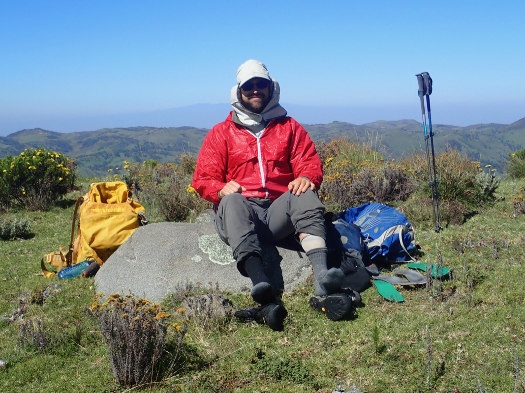
Adam, a brief stop for water on the way to Nakugen.
