Location: North 36.60548, East 030.12087 (GPS on the summit)
Difficulty: YDS class 2
Climbed July 6. 2016.
Information:
How to get there:
From the coastal town of Kas, drive about 10 kilometer (uphill) in the direction of Antalya,
then turn left on a road that is clearly signed for Elmali. Follow this road, first through
the village of Kasaba, then across a big hill to merge with a bigger road heading north.
Continue all the way to Elmali, you will get to a large traffic circle (loc:N36.73045, E029.93245).
If you arrive from the south (Kas), then exit at the first turning. Follow this road, keep left in
a couple of forks, you should enter the village called Sogle after about 10 kilometer.
Turn right as you enter the village and find your way downhill in order to cross the flat valley
basin on a wide dirt road. Fork left before the end of the basin. Keep right at the next junction and
head uphill across and between small hills before you descend to a larger, flat valley near the base
of Kizlar.
Continue to follow the "main road", it starts climbing and turns left near some shepherd huts, then
traverses the steep north slope of Kizlar. Do not continue to the col, but park before a left curve
where access up to a saddle seems easy. This is at location N36.62236, E030.12573, elevation about
2138 meter.
Route description:
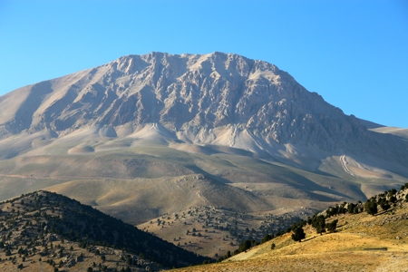
Head directly up to the broad saddle, a dry creek provides an easy path. Next, continue
up the broad slope while heading left towards some rock outcrops, then onwards to a
nice, flat shoulder. From here, another uphill to slightly more gentle terrain. Set
course towards the somewhat pointed minor summit, up into the saddle on its right
side, then a short and easy final ascent to the summit.
Comments:
Today would be a longer drive than yesterday, thus I got on my way from Kas already shortly
after 0500. It was a nice and beautiful morning drive to Elmali. Thanks to a very good report
by the Mclellans, I had no problems with the final, quite long access road to the trailhead.
They describe a "narrow tarmac road" to Sogle, it is a two lane road with a painted center line.
I decided to park before their trailhead at the col in order to avoid traversing a small peak
along the route. I was parked and ready to go by 0800.
The ascent was straightforward, pretty good footing all the way. I met two horses in the saddle,
fortunately no sheep and therefore no dog issues. I arrived at the summit at 0955, so slightly
less than 2 hours. I signed the summit register, noticing that I was the first visitor in July.
There is what looks like a trail coming up from behind the small, rocky subpeak, possibly
the alternative trailhead that Mclellan tried to access? (see their report on Peakbagger).
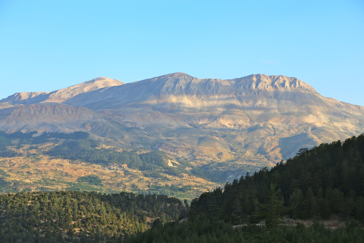
The summit ridge carries on at almost the same elevation, I walked along and observed that the summit
indeed looks higher when looking back. After 30 minutes with a good rest and some water, it was
time to descend. Interesting, I could see some peaks all white with snow in the distance.
A nice drive back to Kas, arriving there around 1410, time for a well deserved swim in the sea!
Here is a quick summary of peaks climbed in our trip to Turkey.