Jebel Igdet
- Jebel Igdet
- 3619 m
- Primary factor 1613 m
- Morocco
- Location: North 30.96458, West 08.44335 (GPS on the summit)
- Difficulty: YDS class 2
- Climbed June 23. 2017.
Jebel Igdet
|
|
How to get there:
This peak can be done in a long day from Marrakech, perhaps better
to stay one night at a closer location.
From Marrakech, one should take Hwy. 203. Unfortunately, these numbers do not appear
on any road sign. This Hwy. runs out from Marrakech to the south-e
west, it is the first main Hwy. that runs south of the road serving the airport.
After about 34 kilometer, this road serves the village of Tahannaout. Continue to the
small village of Ouirgane, located on the shore of the reservoir made by a dam of
the Oued Nfis river. From here, the Hwy. continues south, staying on the east (left) side
of the valley (and river). Passing the village Talat N'Yaaqoub, it is time to watch for
the side road going right at location N30.96300 W8.24359. This road starts out as paved, but
turns into aa dirt road after a few kilometer. Stay on the main road and ignore minor side roads.
The road desends to the river and crosses to the right side, then continues up the valley.
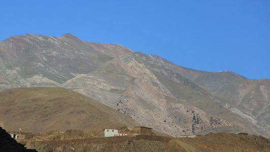
You will see the Igdet mountain towards the sky further up the valley.
At location N30.99394, W08.35751, you should take the left fork heading downhill to a small
village. Then, quite close to the end of this road, take the right fork going uphill at location
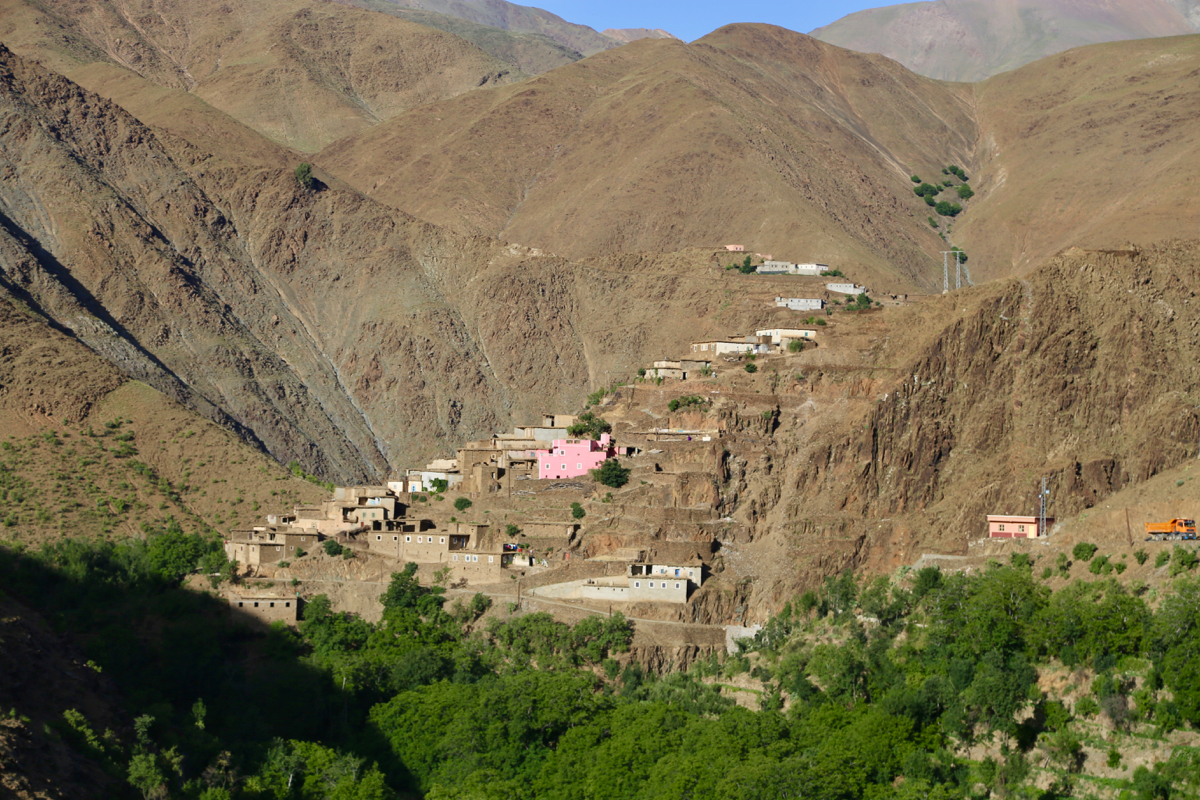
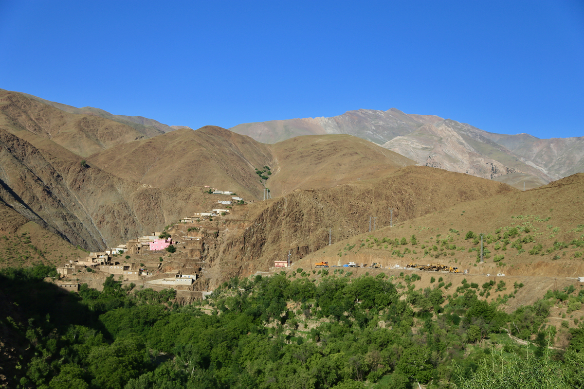
N30.99354 W8.39283. You will soon enter Arg, the last and highest village in this drainage.
There is parking at location N30.98995, W08.40579, elevation about 2145 meter.
It should be added that this road is quite narrow, unplanned meeting of other vehicles causes
a major navigational challenge, since there are extremely few places where cars can meet.
The road is 27 kilometer from its very beginning to this parking, one should plan for anything
between one and 1.5 hours depending on traffic.
Route description:
First, continue along the road until it ends, then continue along the very nicely
built trail serving the last few houses in the village. Continue along this trail
(fork uphill) until you reach the valley floor and the creek. A much less distinct trail
continues up the valley to a clear fork.
One would think that the best route would be to pick one of these small valleys, they both
have scree and are a bit awkward to climb. (Martin R. picked the rightmost route while Rob W.
took the left fork.) In fact, the best route is to follow various sheep/goat tracks that climb
up the spur in between these two valleys. High up, there is a pretty good path that then
does an ascending traverse across the upper part of the leftmost gully to gain the nice, broad and
gentle ridge that leads to the main crest.
Continue up the broad ridge and go to the right side of the local summit straight uphill. This may
look a bit counter-intuitive, however the terrain is nicer and you do not loose any elevation.
The rest of the route is pretty obvious. Traverse behind the local summit, then follow small trails
directly towards the base of the final peak pyramid. The best route for the very final climb is to
go a bit right and not fall for the temptation to head straight for the summit.
Comments:
I knew that this would be a long day, starting and ending in Marrakech.
In order to make dinner with my wife Heidi, I decided to start early. Thus,
leaving our nice hotel shortly before 0400 in the morning.
Navigating through the center of Marrakech went fine and as I drove up the
N'fess valley as the daylight was coming.
The turnoff (going right) was spot on and the first part of this road was still
nice, a bit narrow, but with pavement. This ended and the gravel/dirt road continued, now
high above the river on its left side. Rob's excellent trip report specified that one
should look out for a fork where one should go right, downhill to the river.
I first overlooked this and my GPS told me I had driven past the fork. I turned
around and slowly drove back looking for the road. Yes indeed, a very suspicious looking
road descended sharply near the specified location. I was more then a bit sceptical, turned
my Cherokee once more and slowly descended. This was a bad, but driveable road, it did not
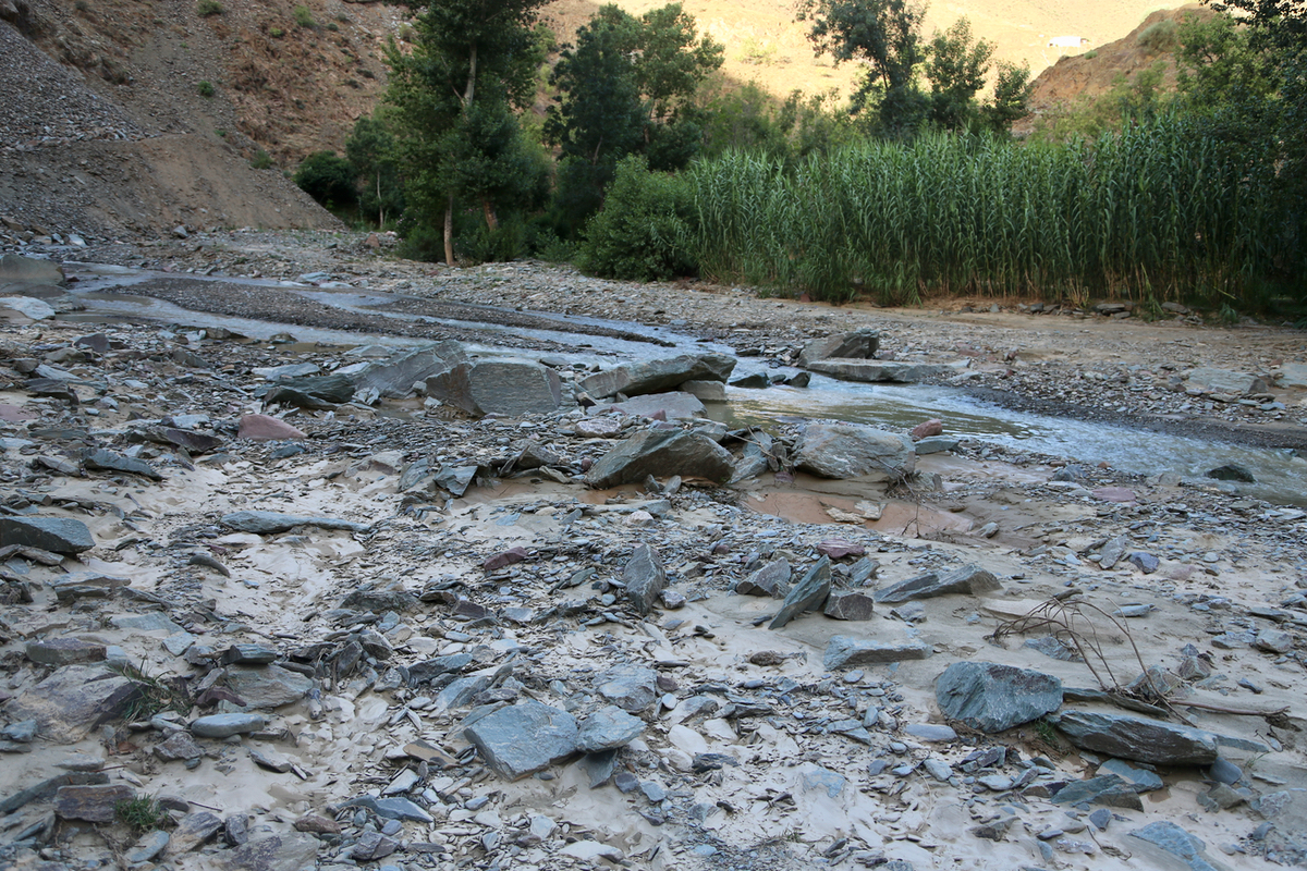
look like any vehicle had been here for ages? More so as I reached the river. Not a sign of
any bridge, no vehicle tracks, big rocks strewn around.
Did Rob cross such a bad river without
a word in his report? I was not happy, but decided to give it a try. Slowly, I coached my
big vehicle across and onto dry land as I turned a few trees on the other side. There, two local
women appeared. They spoke not a single word that I understood, but their expressions and
body language left no doubt. Turn around and go back, you cannot drive here!
It was not hard convincing me, as I slowly got my car back up to the main road.
The main road contined onwards, then descended and crossed the< river (on a proper crossing).
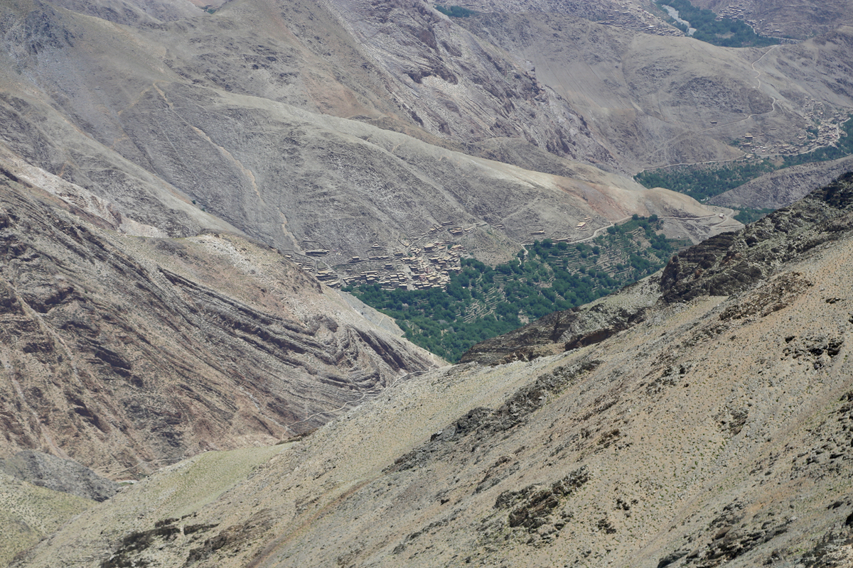
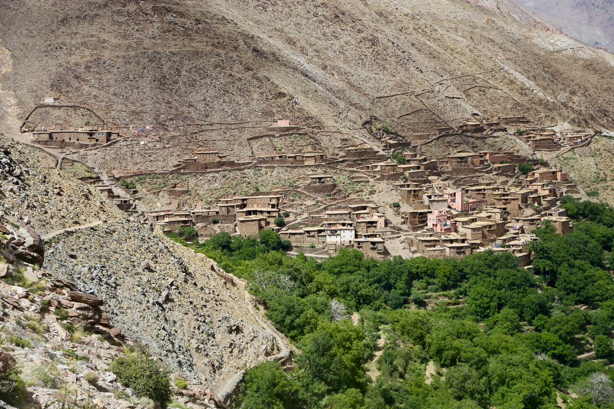
Soon, I could see a new village as the
main valley stretched further towards Jebel Igdet, visible
towards the blue sky.
The rest of the drive was slow, but not difficult. A key, but undocumented road fork made me
hesitate before descending left. In a few places among buildings in villages, the passages were
narrow, careful driving needed in order to pass through. The road is not for faint-hearted as it
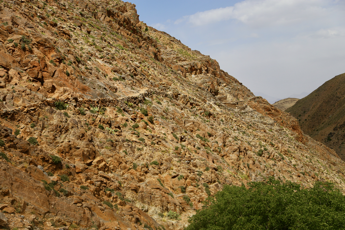
is supported by hand laid, flat rocks on the side facing sometimes huge vertical drops. There
are extremely few places where one may meet another car. The assumption seems to be that there
are so few cars that you simply will not meet anybody.
I was finally parked at 0745, ready to hike by 0800. The road through the village soon ended
and a nicely made path, built with some considerable effort, continued into the valley.
I was soon at the end of any definite trail near the fork where two small drainages meet.
I ascended up the one going left, just as Rob had described in his trip report. This scree
gully was unpleasant to ascend. Just steep enough to make walking cumbersome and loose material
everywhere. I was happy when I hit a very distinct path crossing near the upper end. Following
this left got me out of the gully and onto a gentle, broad ridge that continued uphill to a local
summit point on the main crest.
I decided to bypass this rocky point to the left as it looked quite reasonable to cross there.
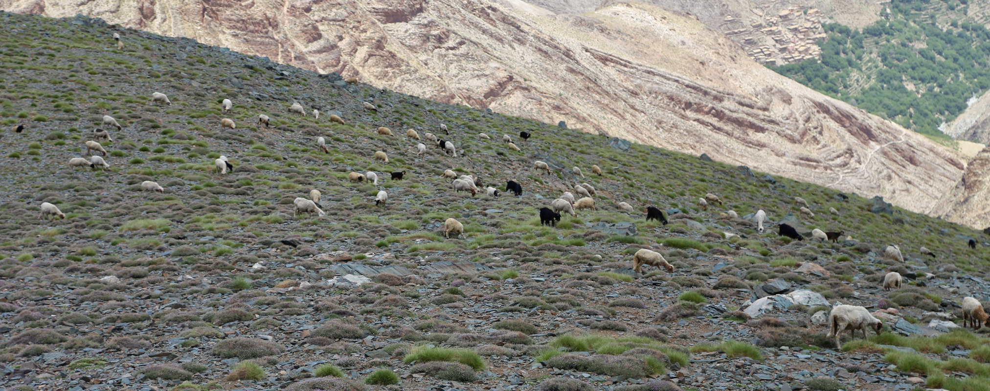
Soon, I was on the main crest an what remained of the climb looked easy. I ran into quite
many sheep and goats and not surprisingly, a shephard. We talked briefly, he immediately
understood that my goal was to climb Igdet. The final hill was longer than it appeared and I
felt a bit more tired than expected. After several brief
breaks I finally arrived at the summit by 1200.
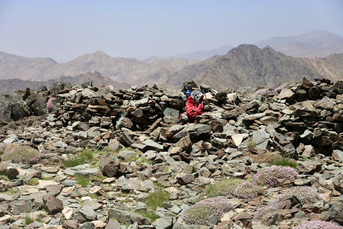
I rested on the summit for 30 minutes. A few pictures of the landscape as well as looking back
down into the deep valley with the village Arg.
I had carried 3 liter of water and still had
half for the descent, more than sufficient. Clouds were assembling in the south, they did not
look like rain, but the sun was blocked on and off, reducing the heat - a very welcome change
after ascending under a blistering hot sun.
I descended back down to the sheep,
then decided to circle the local top on the left (opposite)
side. This was overall a good choice, easier going and not much longer. I did not look forward to
descending the scree gully. Arriving there, I decided to follow the path that just crossed the
gully, then descending along many small goat/sheep tracks on the spur between the two
small valleys. This was a good choice, clearly better than the gully. I got back down to
the main village trail and followed
it back to Arg.
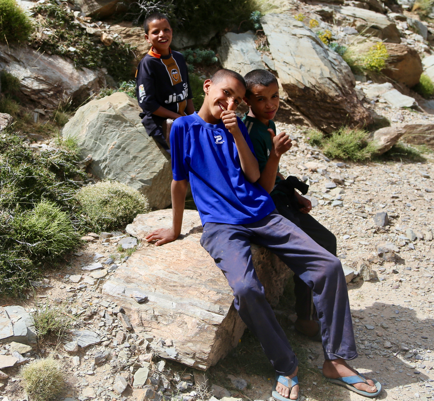
Three young boys kept me company for
the last kilometer as I returned to my car at 1530, 3 hours down.
The drive back out was not without complications. I met 3 cars, 2 of them in very fortunate
locations where we could pass, while the third required me to do a substantial distance
in reverse on this somewhat narrow road with steep drops on one side. It took alost 1:30 to
cover the 27 kilometer back to the main road. The drive back to Marrakech was pleasant and
I returned to our nice base camp by 1900. Altogether, a 15 hour trip, I felt that the
delicious dinner was well deserved.