Location: North 38.12648, East 034.16507 (GPS on the summit)
Difficulty: YDS class 2
Climbed July 17. 2016.
Information:
How to get there:
The city of Aksaray is a good point of reference.
Locate the road that leaves the city going south to the small
village of Karkin. There is a convenient ring road that connects
from Hwy. D750 going just south of the city center. This road has
several signs saying Hasandagi, follow these.
When you get to the center of Karkin, then measure from the quite
nice looking mosque (km 0.0). Drive southeast to Helvadere, at kilometer
2.9,turn right (sign for Hasandagi there). At kilometer 3.4, turn right
again (smaller sign). Then, pretty immediately, at 3.5, turn left. Again,
ay 3.7 turn right (another small sign). The road now leaves Helvadere and
eventually heads straight uphill. At kilometer 5.7, fork right, there is a sign here
for Karbeyaz Hotel. The road now gains elevation in switch-back curves. Just before
the hotel, there is a road fork, the hotel is a bit downhill to the right.
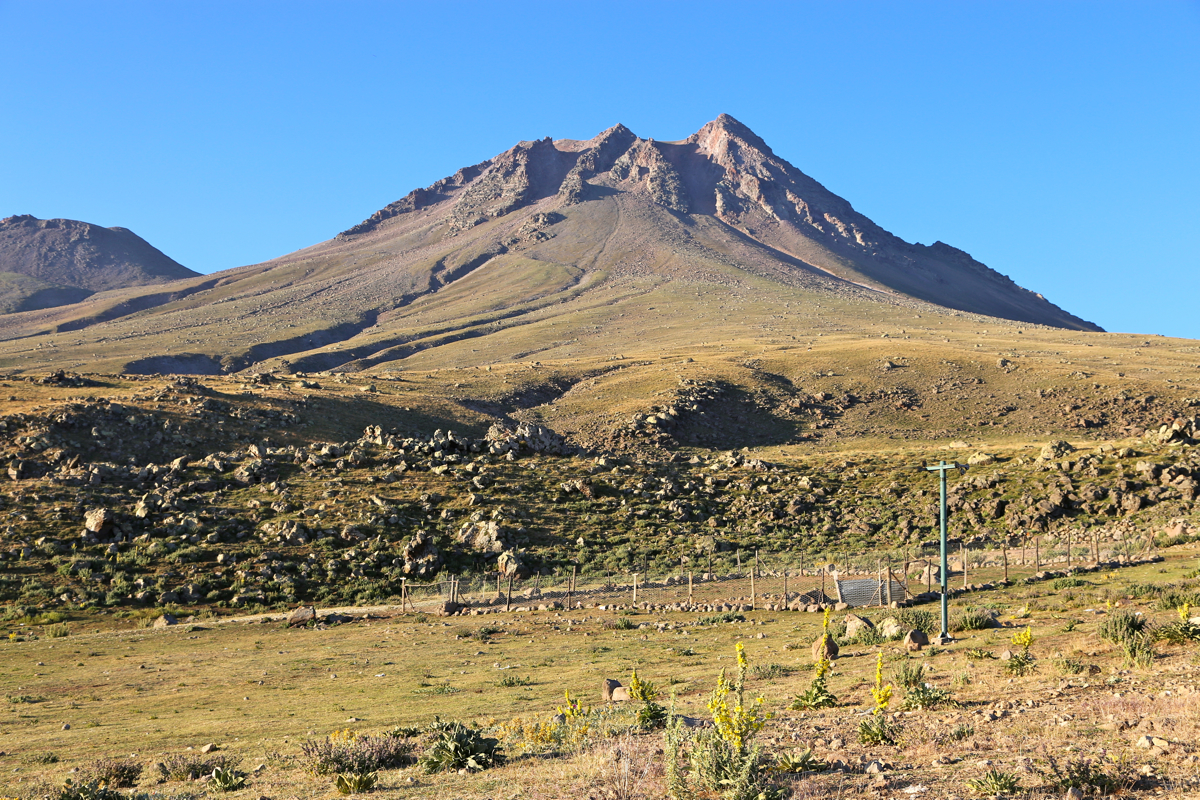
I proceeded straight ahead and parked near some shepherd quarter. Location
N38.15911, E034.16280, elevation about 2000 meter.
Route description:
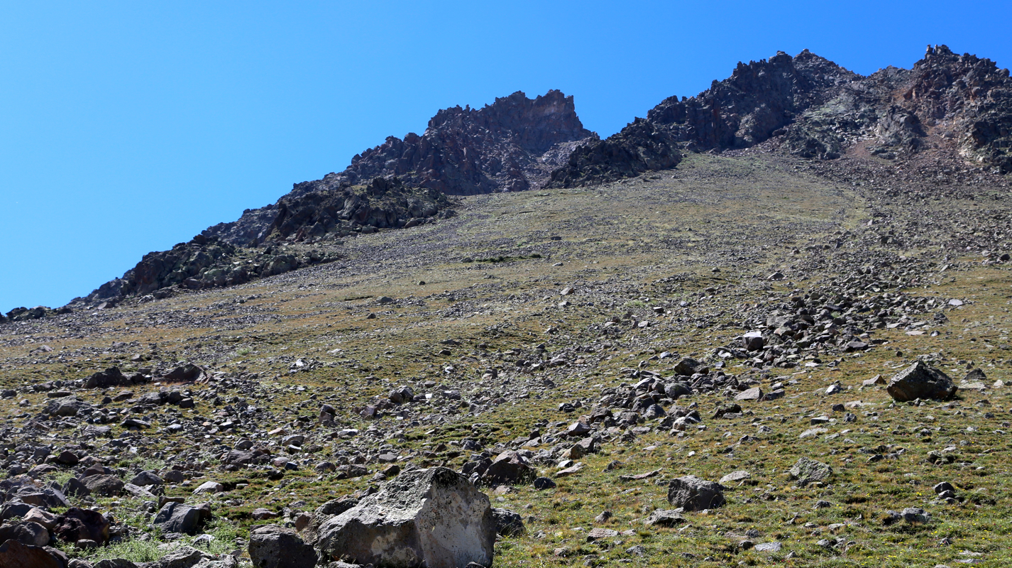
From the trailhead, head directly uphill, stay on grass and gradually
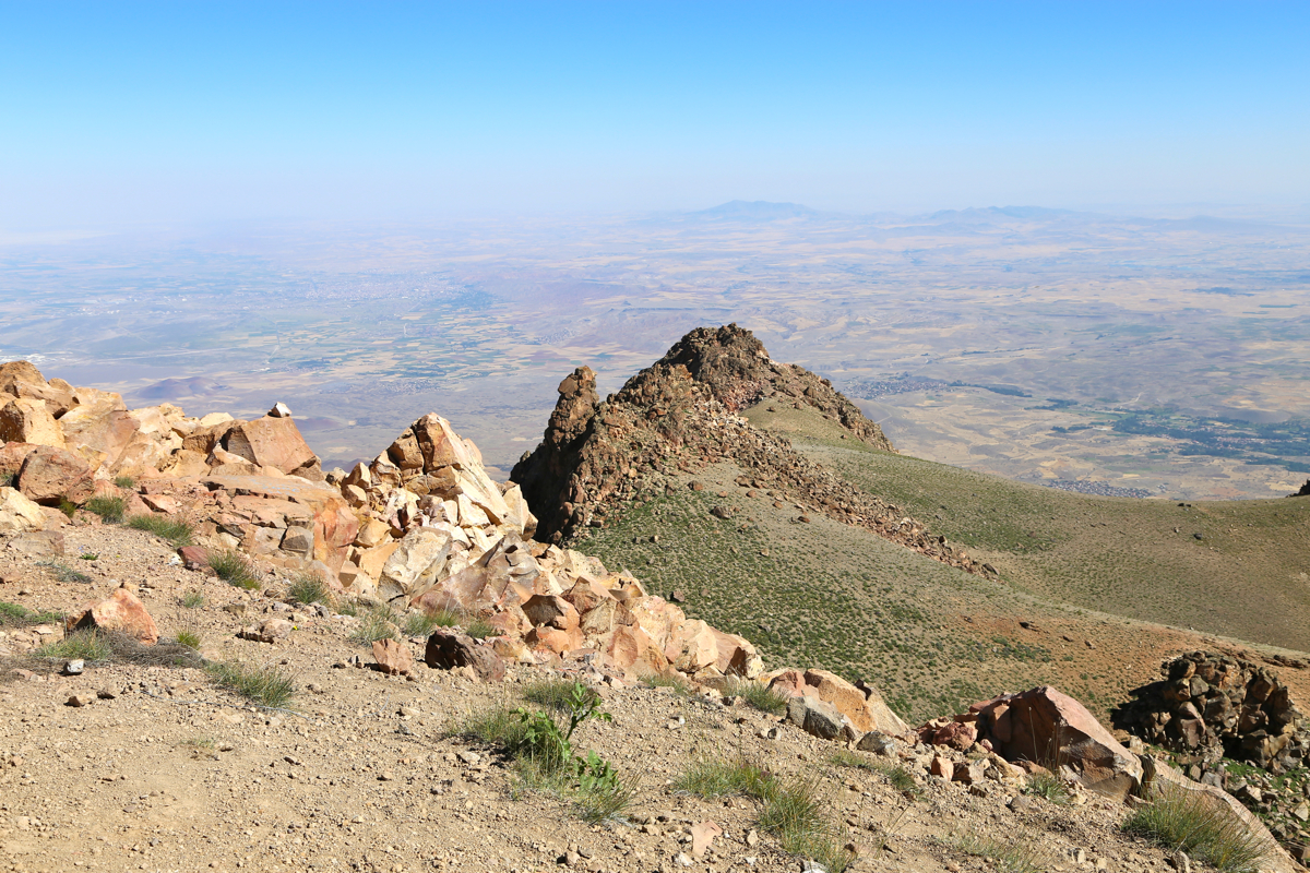
angle slightly left. Up above, going left from the highest point you
can see, there is first, one big gully/breach, then a second one that
appears to have two branches. Head for the shoulder immediaately below
such that you aim for the leftmost gully
that you see above (gully 3 counting right to left, see pic.).
Leave the shoulder and enter the big gully. Starting up on the right
side, then traversing to the left, before an easy finish to a local
col. You can largely stay on grass, the bigger rocks are generally stable,
quite a good route. From this col, you look down into a wide, big gully on
the far side. This is appearently where the guides take people, as described
in the peakbagger report bt Rob Woodall. My route seems more direct, with
less danger of dislodging rocks etc.
From the col, turn more right and ascend along a short rib, easily to the
crater rim. Turn right and follow a visible path that traverses left of the
local peak, then ascends on easy terrain to the highest point. Comments:
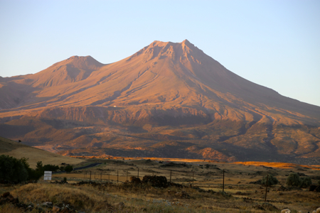
I left our excellent "base camp" in Uchisar, at 0420, in order to get an early start despite
a bit of driving. As I drove south to Karkin,
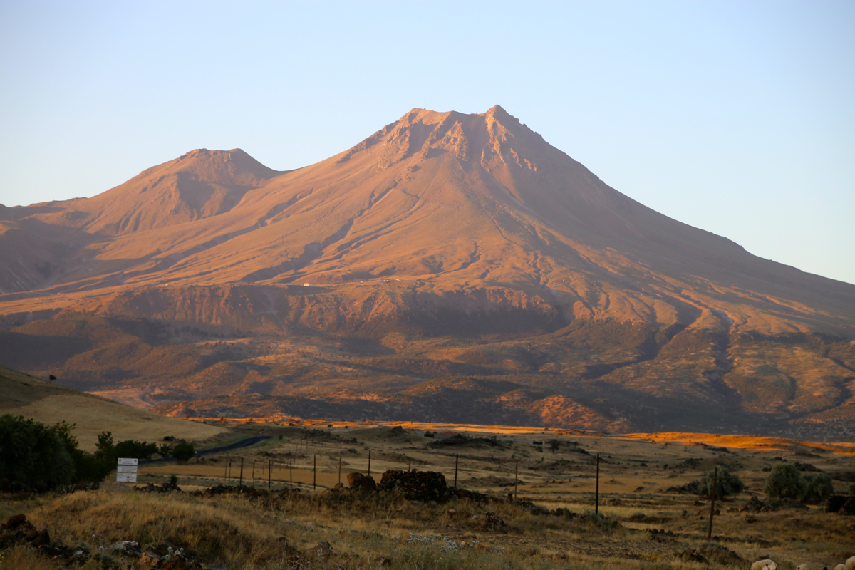
Hasan Dagi was glowing red in the morning sun.
To find the trailhead was easy and after a bit of preparation (changing into hiking clothing),
I was off ay 0630 sharp. The route seemed
pretty obvious, but after a while I noticed that
the GPS track from the guided ascent by Rob Woodall and a party of 8, back in 2011, deviated.
Never mind, I decided to explore the route that looked good to me. It delivered, pretty stable
terrain, gras and rocks one could step on, I soon arrived at a small col and could
look into the huge gully that the GPS track had climbed. A short hike from here and I was at
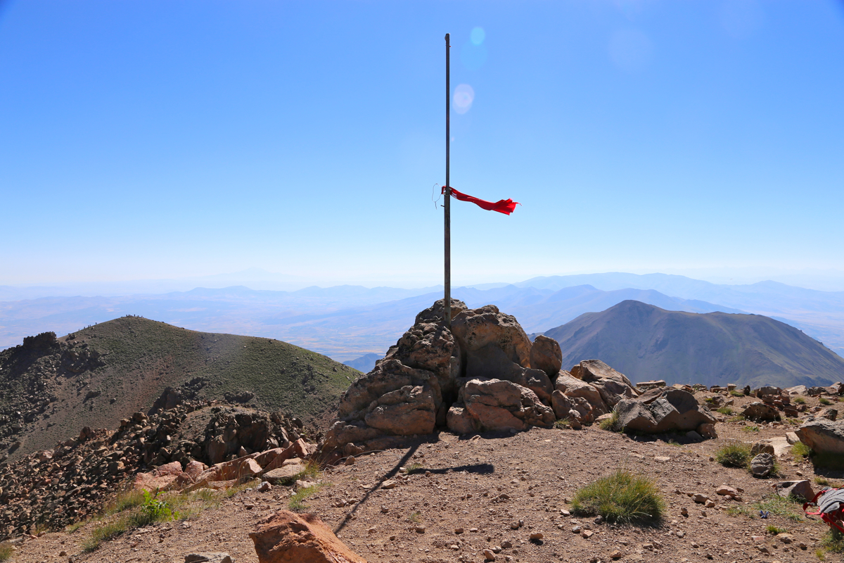
the summit by 0920, not bad for an old man.
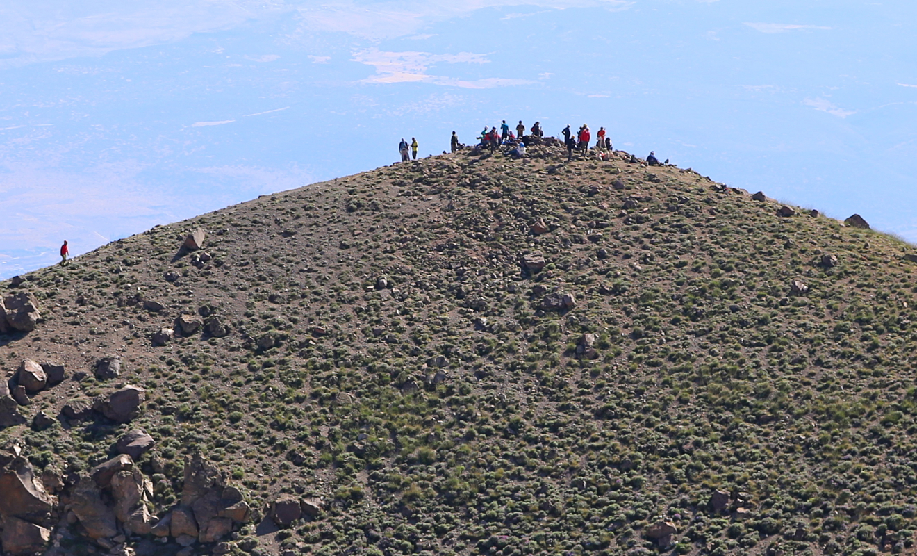
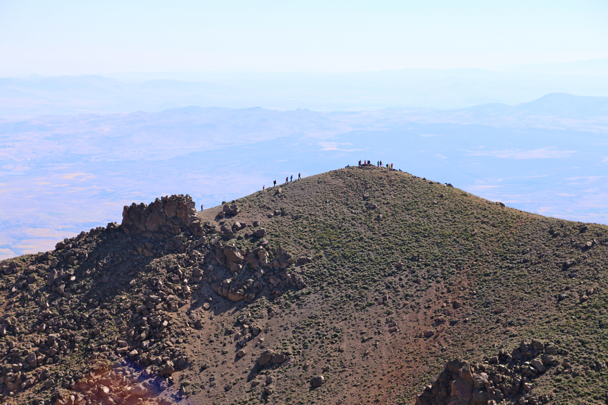
I noticed a crowd of peolpe at the lower NE summit, interestingly,
I had never seen them above me and,
as it turned out, I never saw them on my return either.
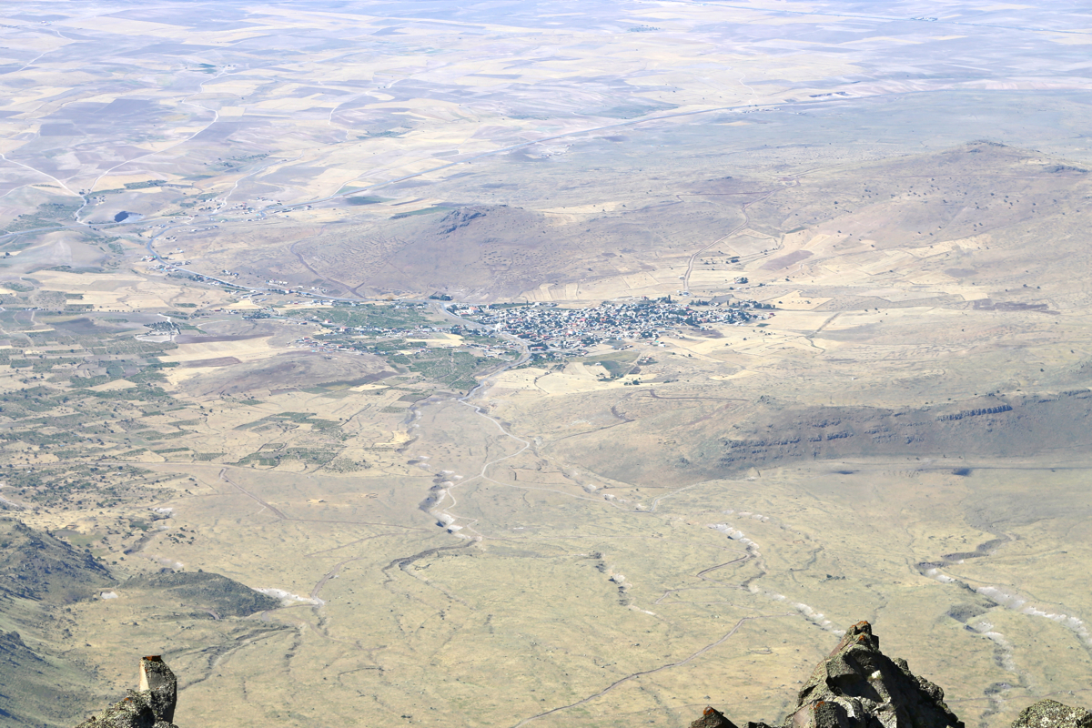
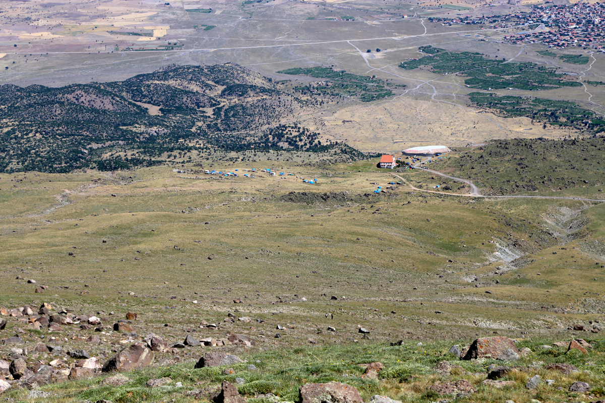
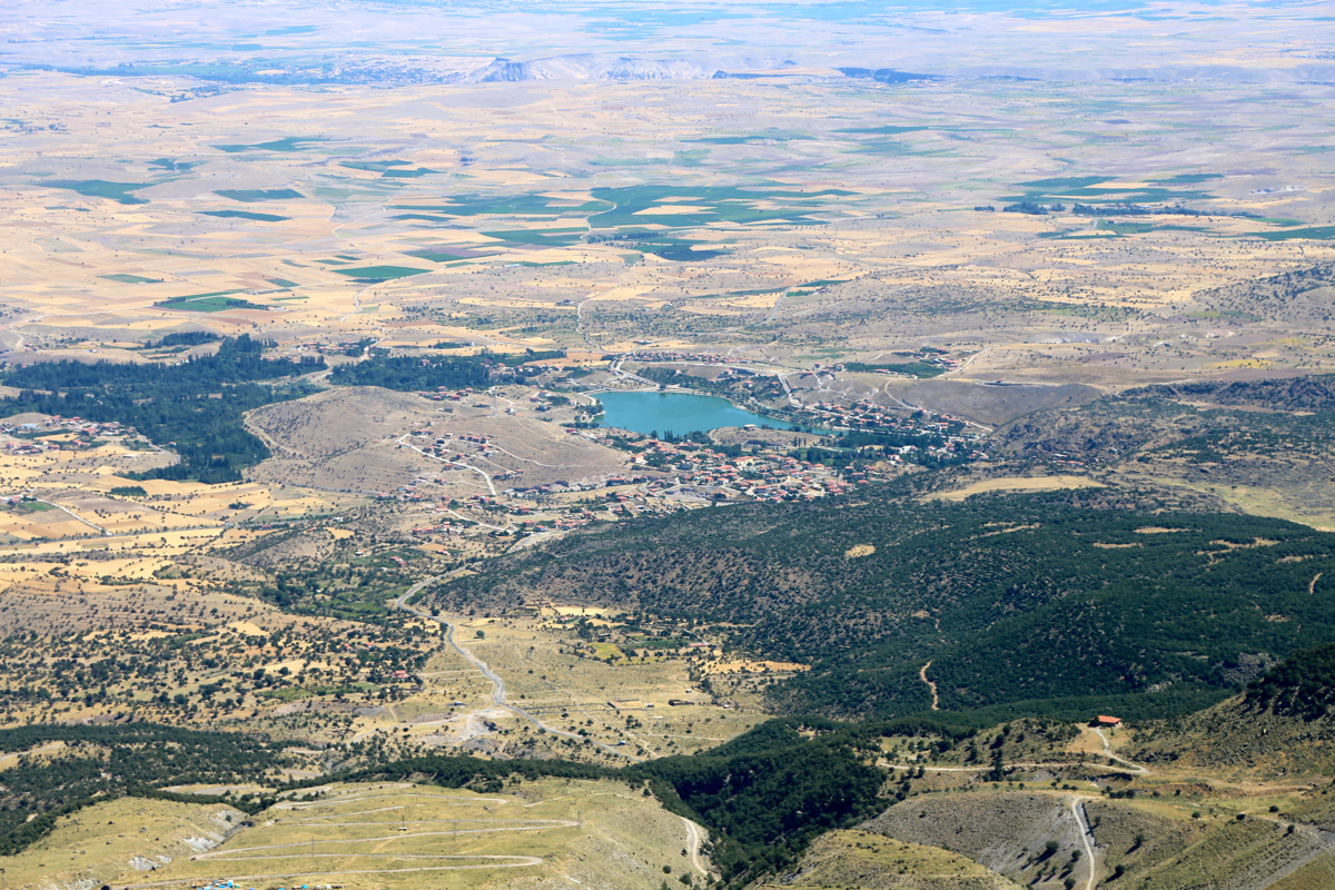
The view was good in all directions, however haze and the general isolation makes things a bit
airplane like. You can look down at small villages
as if in an airplane. I rested 15 minutes and
realized that I carried way too much water. Leaving at 0935, I returned the same way as
I had ascended and arrived back at my car at 1130, a trip time of 5 hours.
A nice drive back to Uchisar, arriving there at 1320, total time 9 hours, the swimming pool being
my next stop.
Here is a quick summary of peaks climbed in our trip to Turkey.