How to get there:
See the information under Tobacor 2769 m. Route description:
This mountain is most conveniently climbed from the
small lake near the pass (col) between Monte Perdido and
Cilindro. We climbed it after descending from the Perdido
summit, since the day was nice and we still had both strength
and time left before dinner at Refugio de Goriz.
From the small lake one proceeds up a slope of loose gravel, small
rocks to a small pass on the south side of the main mountain.
The most difficult (YDS class 4) pitch of the climb starts here, it can be done
without a rope, but using one for extra safety does not hurt. The route
proceeds up a fairly obvious crack and the climbing gets easier after
the first 4-5 meters.
After a bit of walking there is one short
climb where the use of hands
are needed before coming to the last slope leading up to the summit. Comments:
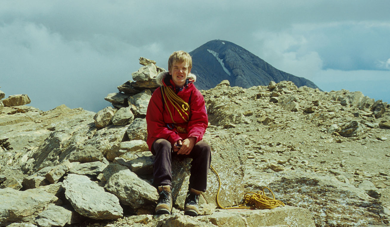
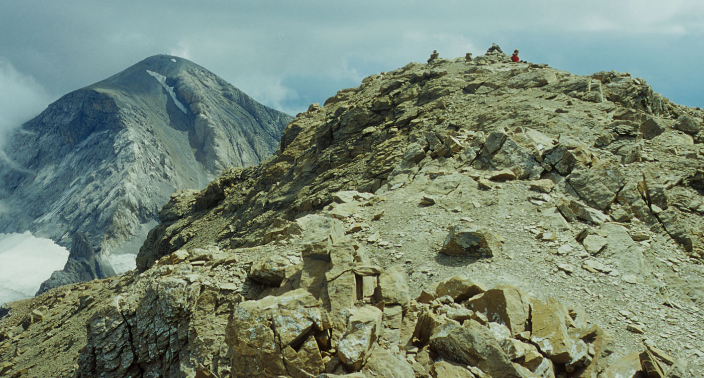
The view from this summit is very nice, in particular west, south and
north. The vertical drop between this mountain and Perdido is more than
200 meters. Also, viewed from a distance the two mountains certainly
appear as two distinct, separate mountains. My best guess is that this
mountain is the 5th highest in the Pyrenees, with the close neighbor
of Aneto, Punta Astorg (3353 m ?) almost tying Perdido for 3rd.