Loma Santa Cruz Chica
- Loma Santa Cruz Chica
- 3889 m
- Primary factor 199 m
- Location: North 00:15.251 West 078:10.838 (GPS on the summit)
- Location: In Ecuador, between Cotopaxi and Iliniza
- Saddle: Between contour 3680 and 3700.
- Saddle location: West of peak.
- Difficulty: Grade F, YDS class 2.
- Climbed December 15, 2008.
|

|
Information:
How to get there:
This mountain and the slightly higher parent (Loma Santa Cruz, 3945 m) are
located between Illiniza (west) and Cotopaxi (east). From Quito, go south on
the Pan-Am highway until south of a line connecting Cotopaxi and Illiniza.
This mountain can also be climbed from the Chaupi area, possibly even easier
than the route described here. We
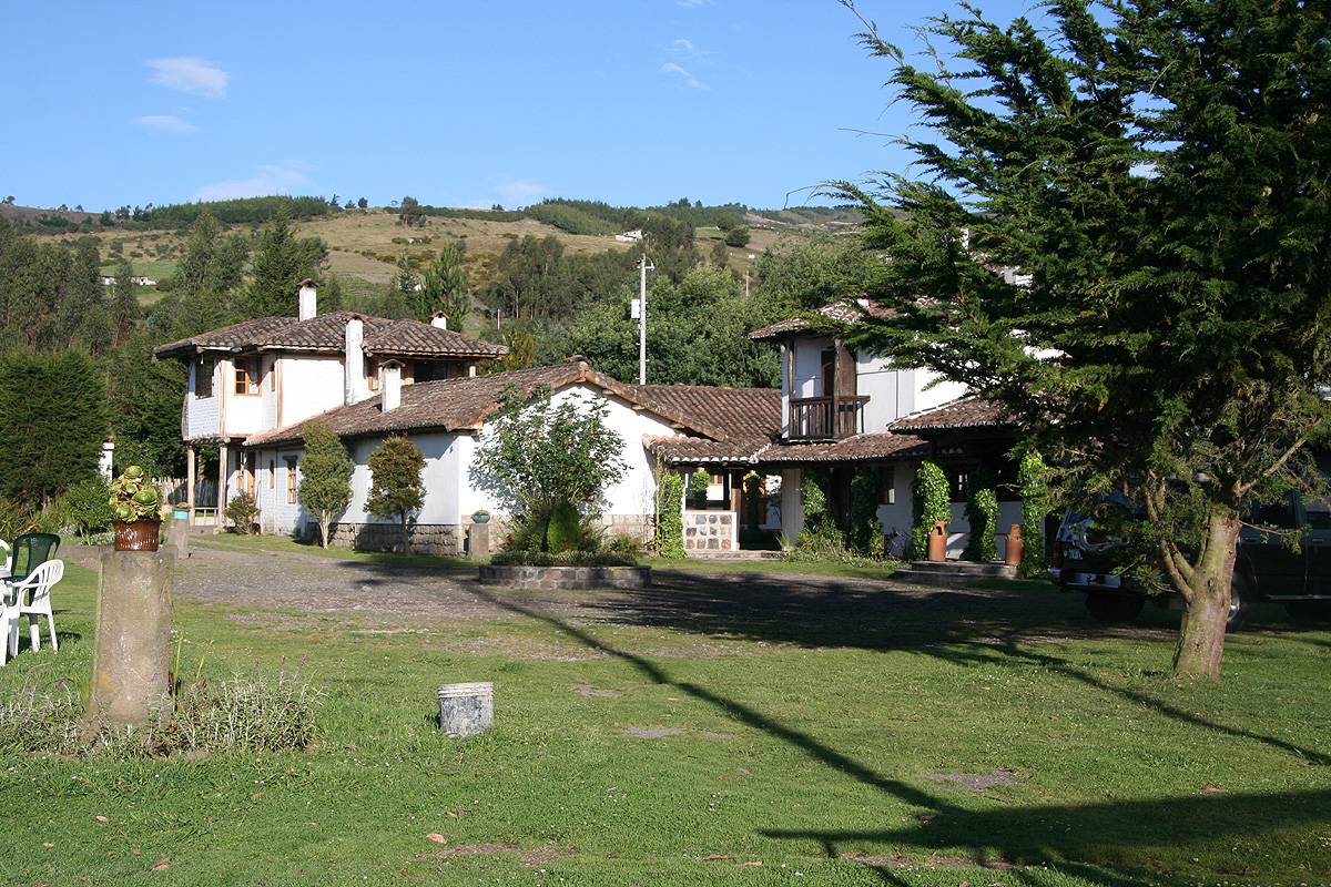
started from our hotel, located at
S00:41.682 W078:35.705, elevation 3150 meter.
Route description:
Note that this may not be the easiest route to this mountain. It is however, a nice
walk from the hotel where we were staying.
Exit from the hotel and continue uphill along the dirt road. Stay on the same ridge
going uphill whenever there is a road fork. Your last road fork will be a sharp left.
Follow the road until it ends. Continue north, gently uphill, through a short section
of trees before emerging into open fields again. Stay at old tracks and sort of
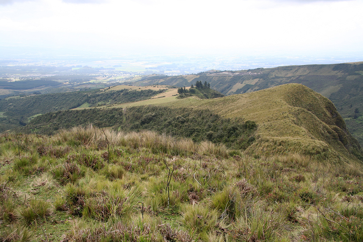
left on the hill, you will have a deep gorge/valley on your left. Follow the high
terrain as it turns right and eventually climbs a short but fairly steep hill.
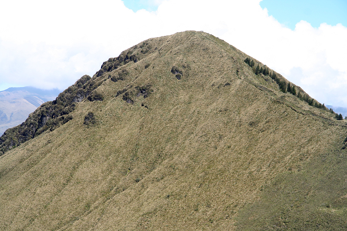
Continue along the ridge, descend to a
saddle, then finish the ridge to gain a nice
little summit. Note
that you will cross a few fences along the way, there are some
gates and some obvious crossings, otherwise just pass through, there are no major
difficulties.
Return to the Ecuador summary page.
Trip Report:(continued)
The beginning of this trip report is here.
Day 8: The hike to Loma Santa Cruz Chica.
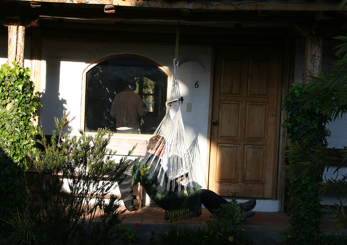
Today was a rest day, but Rob
and I felt that a morning walk was called for. The
idea was to hike uphill and see if we could find a high point with at least about
100 meter of prominence.
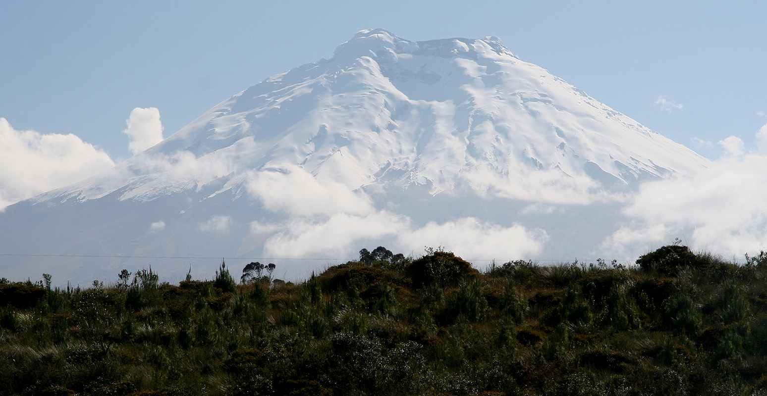
As we headed uphill, the morning
view of Cotopaxi was just great.
The hike turned out to get considerably longer than first
planned. It was the old story of always seeing a new and slightly higher hilltop
behind the one you just finished climbing. Finally, we spotted the summit that would be
our final goal. We
were delighted to find out (later) that this summit is
named even on the 1:250.000 scale map of Quito with surrounding terrain.
The hike ended up taking about 4 hours and measured a good 15 kilometer.
It was an overall pleasant hike as we in a rather relaxed mode strolled along
the long ridge heading
back down to cultivated terrain and our hotel.
We were back
at the hotel in time for a well deserved lunch.
After this good rest, we felt ready for the main objective of the trip,
the ascent of Chimborazo.
(This trip report continues there.)
Resources: