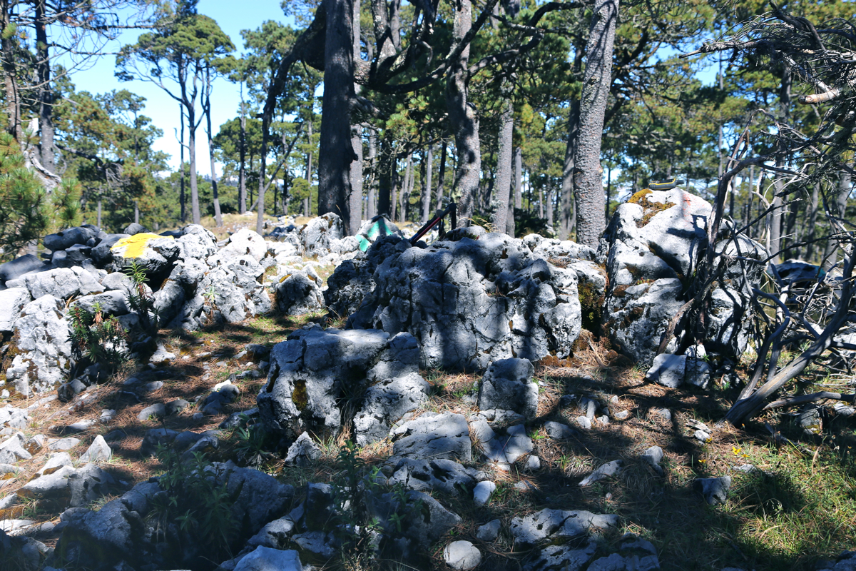
Location: North 15.48815, West 91.53942 (GPS on the summit)
Difficulty: YDS class 1
Climbed December 10. 2016.
Information:
How to get there:
A good point of reference (hotels, restaurants etc.) is the town Huehuetenango.
From the central area of town, drive north, the best road runs on the right hand side of
a small valley. This road (called 9N on the map), eventually hits a T-junction. Go left here,
but quite soon, you must turn right. You should get to the higher village called
Chiantia, just as you cross a small bridge, your location should be N15.35152, W91.45851,
do not proceed without locating this point!. Continue uphill through town, the road will
eventually exit on the upper end and continue as a nice, paved road that steeply climbs the
huge hillside above. Near the top is a place called La Capellania. Continue along the main road
until you arrive in a small village with a signed road-fork. (All roads being paved). You should
have driven approximately 22.2 kilometer from the bridge at the lower end of Chiantia. Measure
from here. Take the right fork and continue 7.3 kilometer. At this point, there is a new fork,
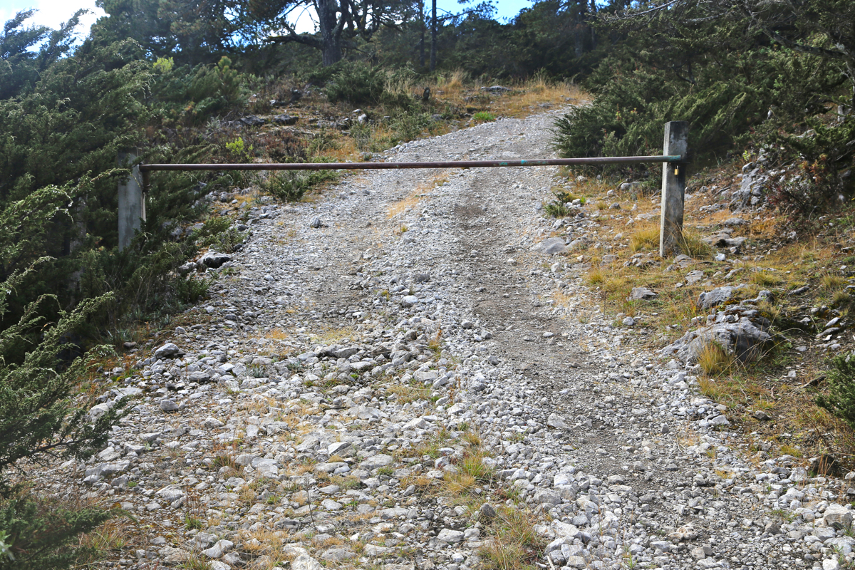
go left here. At kilometer 12.9, you have arrived at a cluster of houses. A smaller road
forks 90 degrees left at this point. You may decide to park here, the remaining distance to
the trailhead is short and the road is rougher. Continue along this road, a short section
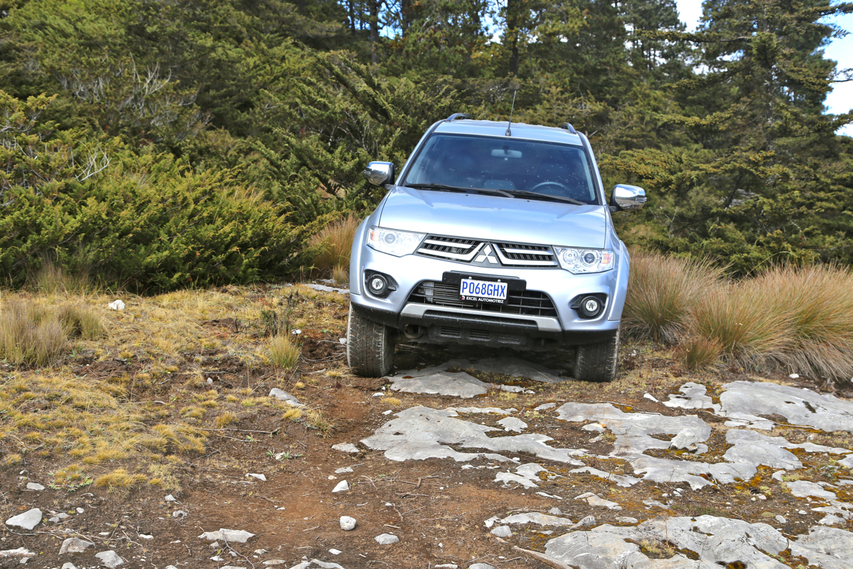
until you reach a locked gate.
One may park off the road on the right hand side. This location
is N15.52935, W91.53809, elevation a bit above 3600 meter.
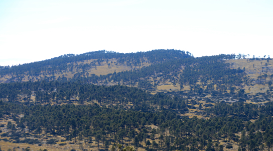
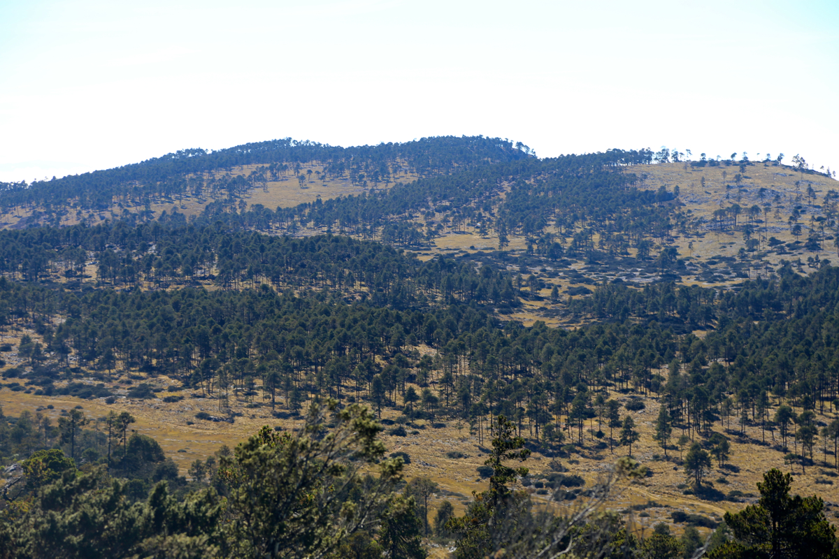
Route description:
This peak is normally climbed together with the highest
peak in the area, Cerro Chemal,
at 3837 meter, it is about 10 meter higher.
From Cerro Chemal, descend to the shallow valley between the peaks in the direction of
the saddle between Pico Torre and a smaller hill that you will se on the left side.
There is a jeep road that can be followed most of the way. Finally, ascend across open, easy
terrain to the summit.
Comments:
I left Cerro Chemal at 1030 and walked across to this summit in about 70 minutes.
The clouds were (still) hitting
the slope below this high plateau.
After 10 minutes on the top,
I headed back to my car, reaching is in about one hour and
25 minutes.