Location: North 48:46.606, West 121:48.873 (GPS on the summit)
Washington, USA
Climbed June 21. 2006.
Information:
How to get there:
This mountain is located in northern Washington. From Seattle,
drive Interstate 5 north and locate Hwy. 20 going east (exit 230).
Drive 34 km (approx. 21 miles) along Hwy. 20 and look for Baker Lake/Grandy Road
going left. This is a pretty wide, paved road. Drive another 20 km (12.5 miles)
along this road and locate Forest Road number 12, turning left off Baker Lake/Grandy Road.
Head up this road 5.5 km (3.5 miles) and look for Forest Road number 13 going right.
Drive this road to its end or as far you can get before the road is blocked by
snow remaining from the winter. The distamce to the trailhead is approximately 9 km (5.5 miles).
Will be posted soon. Route description:
Will be posted soon. Comments:
I did this climb with Helge Larsen, one of the participants on
our successful Denali expedition. In fact, we stood on the summit
of Mount Baker exactly one week after our summit day on Denali.
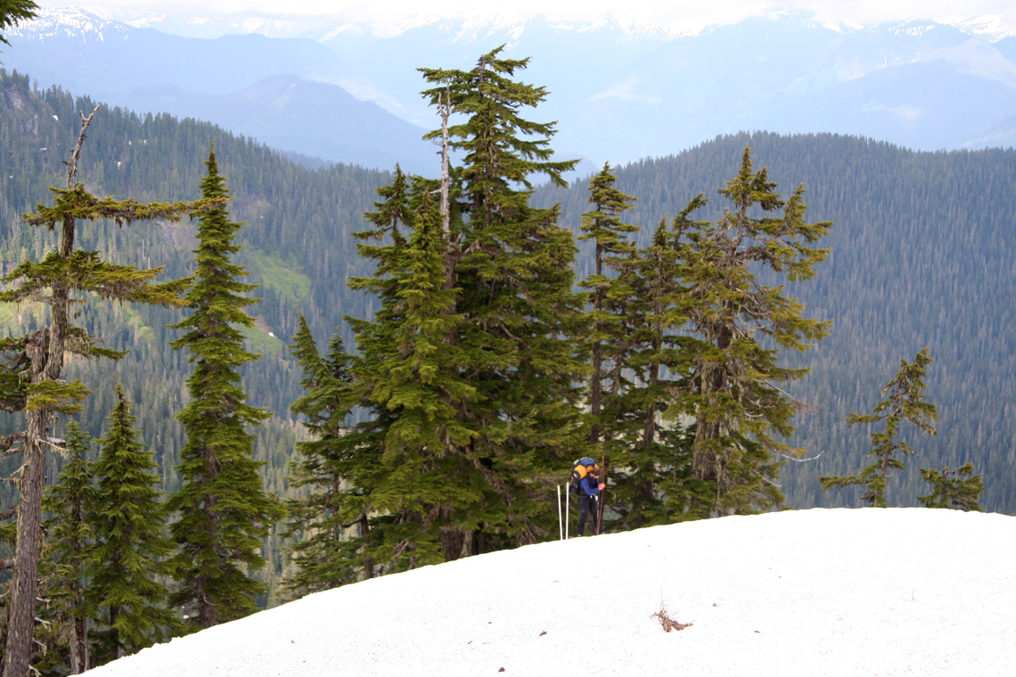
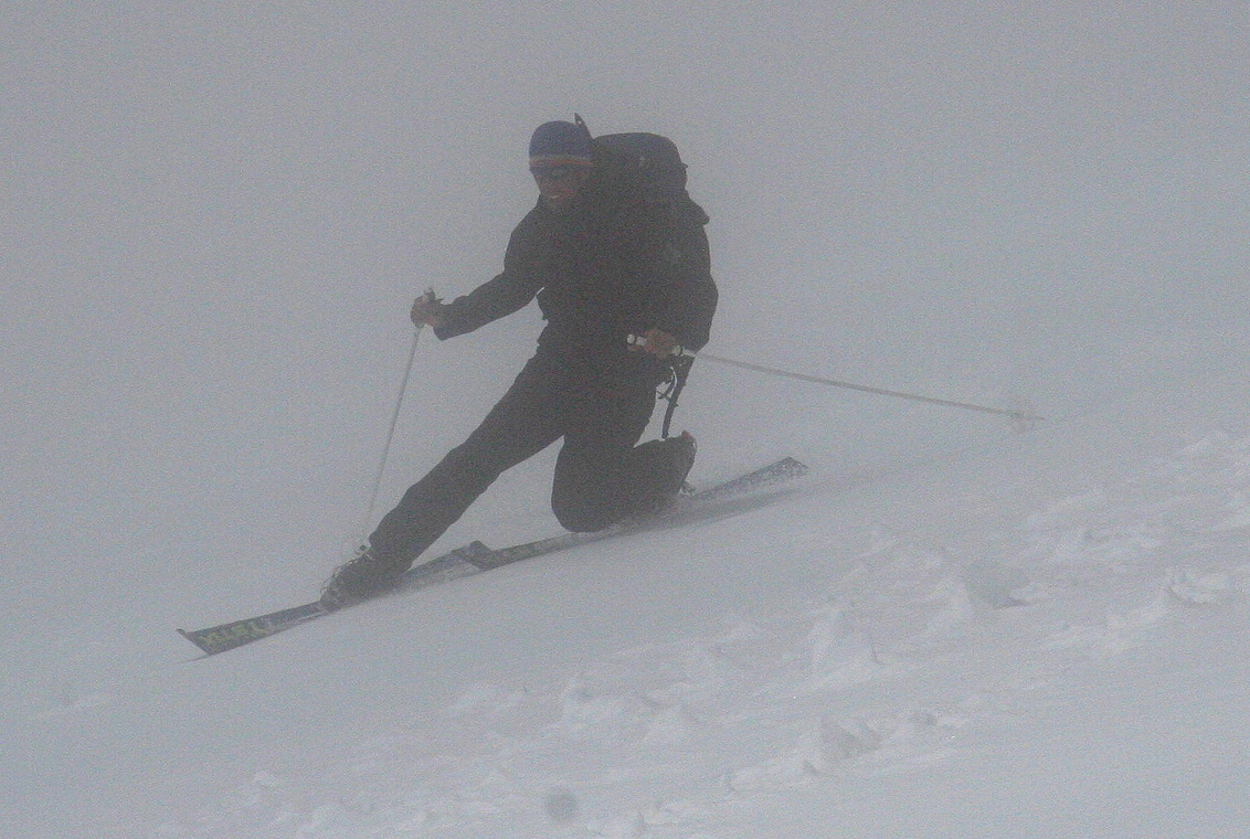
We started from the trailhead shortly before 1600 on June 20th. After
a few hours of skiing in steep and somewhat complex hillsides with only
a vague idea of where Mount Baker might be (to the north somewhere!), we
finally reached a col from where we could see a route to the mountain.
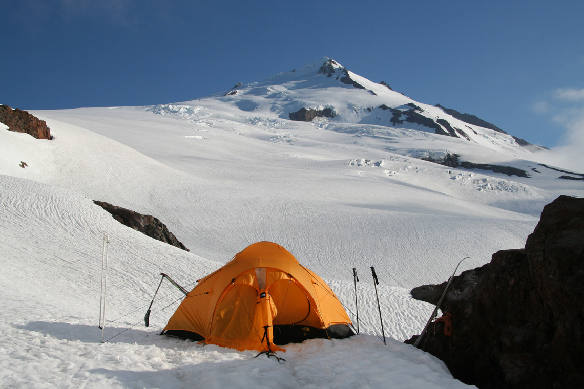
We camped at elevation 1875 m (N48:44.408, W121:48.756) around 2000 in the
evening.
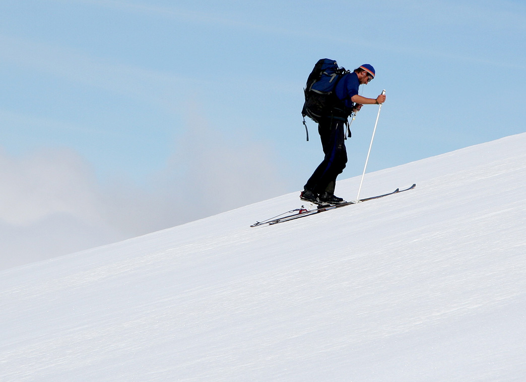
The next morning, we skied in bright sunshine with a dense carpet of clouds
below us. As we gained elevation towards Sherman Peak, the clouds also came
upwards, however, this rise never caught up with us.
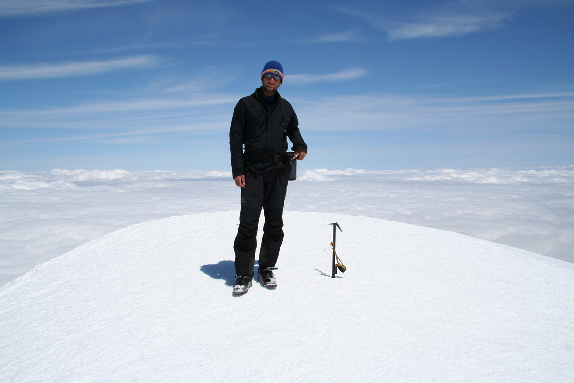
We started around 0800 on June 21st. and reached the summit at 1315. The descent
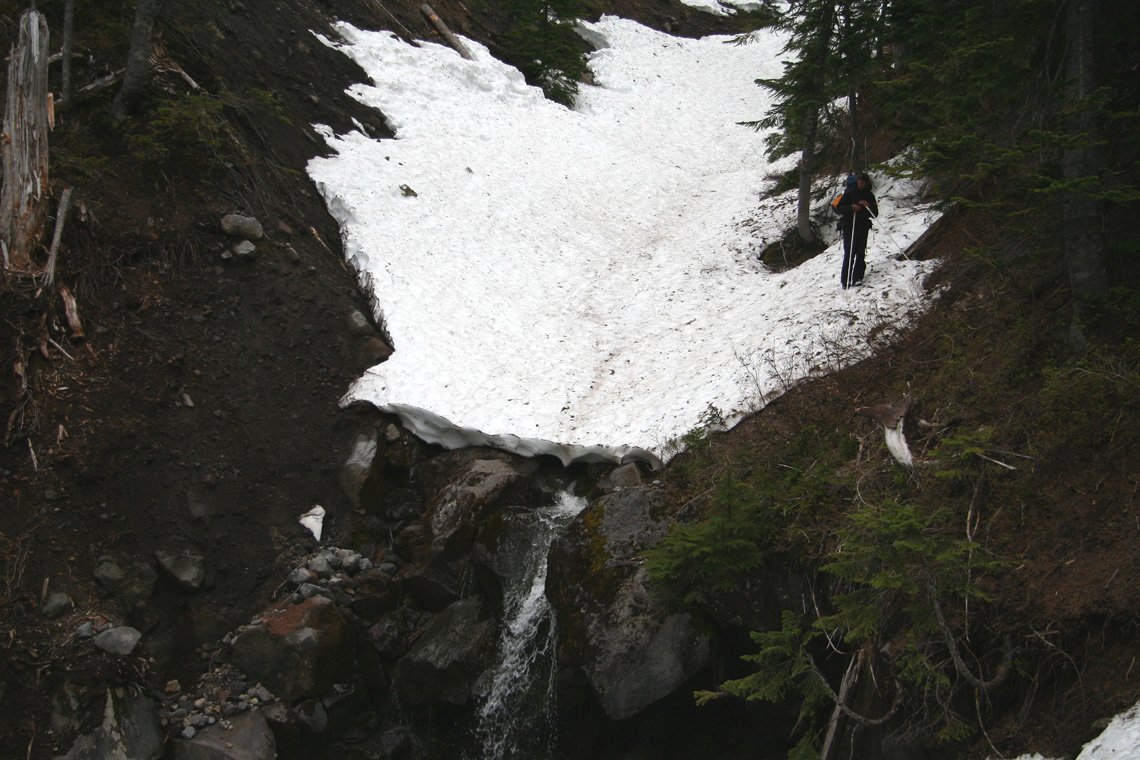
was nice until reaching the treeline, from there, we again struggled down
complicated terrain in order to reach the trailhead around 1730.
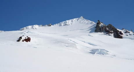
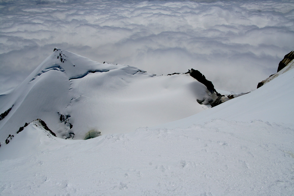
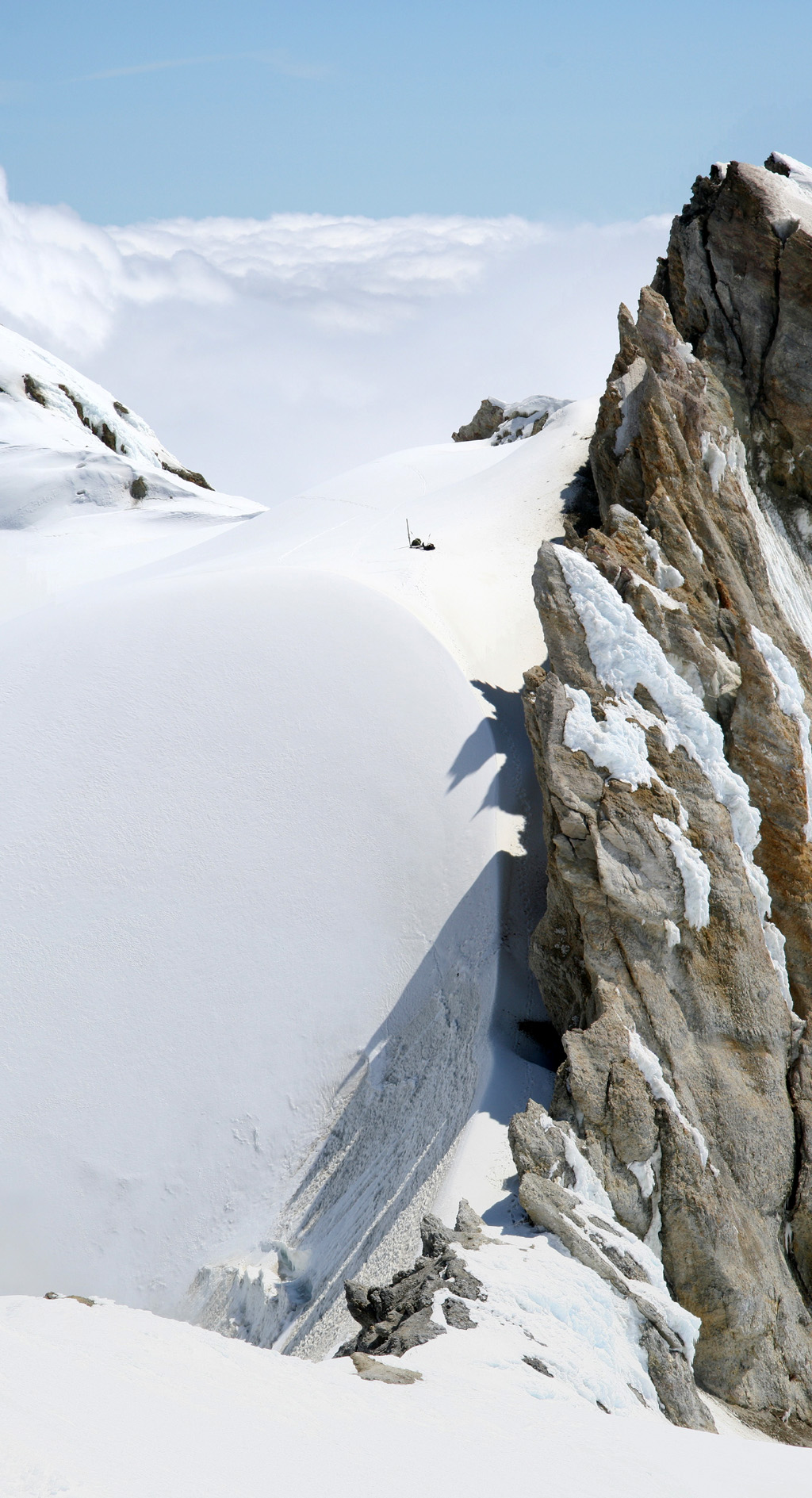
Sherman Peak, as seen from the summit. We arrived at the shallow saddle
just to the right of the peak. Our backpacks are visible as small dots. The
narrow passage is between the rock and the (active) crater further right.
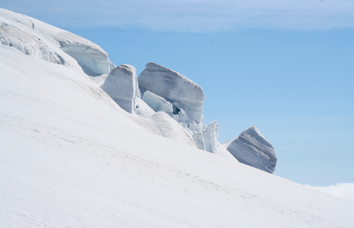
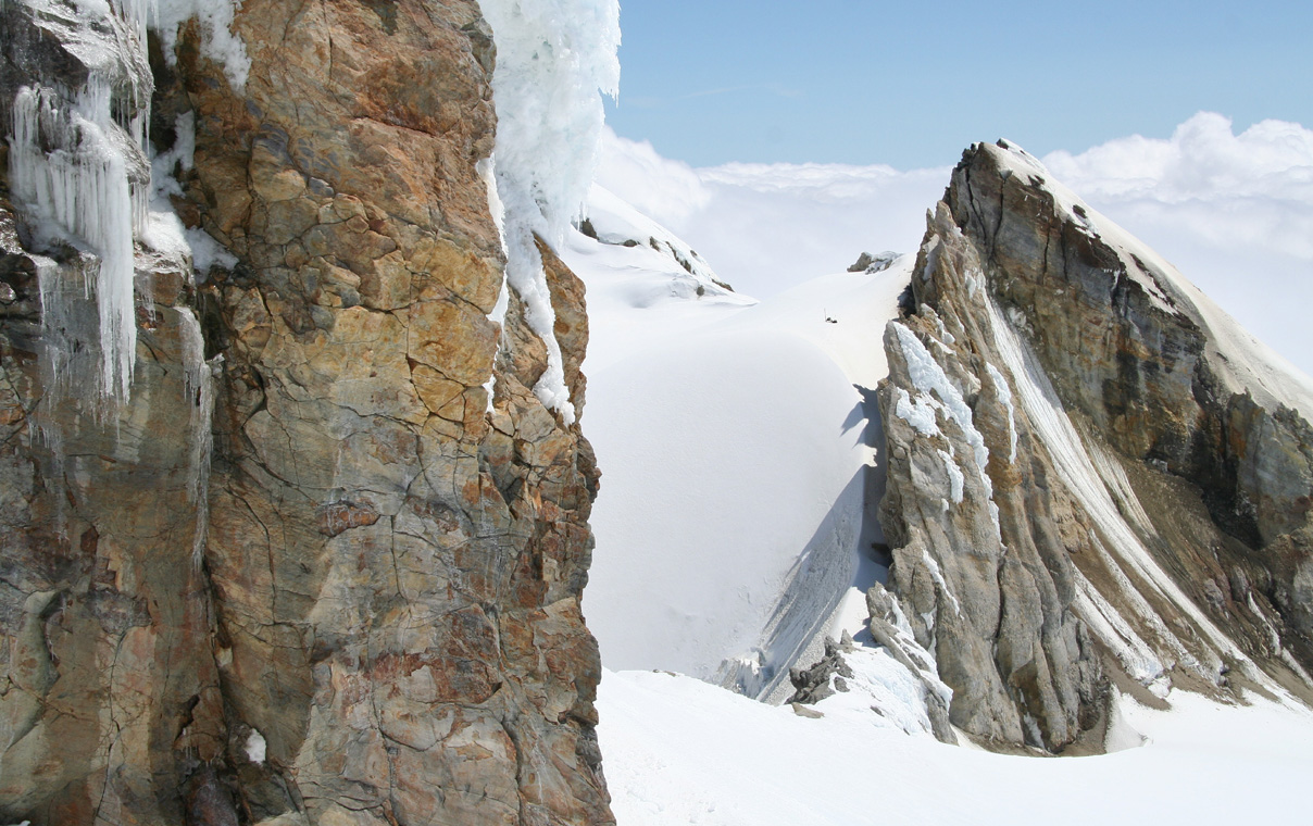
A narrow passage between the rock and the quite active crater.
Note our skis and backpacks that we left in the crater.
Interesting route, another view of the crater passage. One has a
bergschrund near the rock and a roaring crater on the other side, neither
option being attractive. The crater may soon melt away this precarious
passage.