Location: North 39.79155, East 039.77056 (GPS at the summit)
Turkey
Difficulty: YDS class 2+
Climbed: September 8, 2021
Information:
How to get there:
The nearby city of Erzincan is a good point of departure.
Next locate the small village named Kilickaya. This village is located north of
the mountain, a short drive from Erzincan. Drive uphill through this village and locate the
road T-junction at location N39.61058, E039.60009, elevation close to 1300 meter. Take the
road that heads uphill (most likely you turn right here). Continue uphill to location
N39.59372, E039.59222, elevation 1440m, where a road forks right. This is the beginning of
a mountain road that is 18 kilometer long. You should have a 4WD vehicle and the upper part
of this road may be tricky if not dry. The driving time is around 1 hour and 20 minutes.
The road is paved initially as it serves a small cluster of houses higher up, continue
through and keep left at the road fork near N39.59057, E039.58084, elevation about 1500 meter.
There are a few more forks, but it is pretty clear which road to follow, go straight and follow
what seems to be the main road.
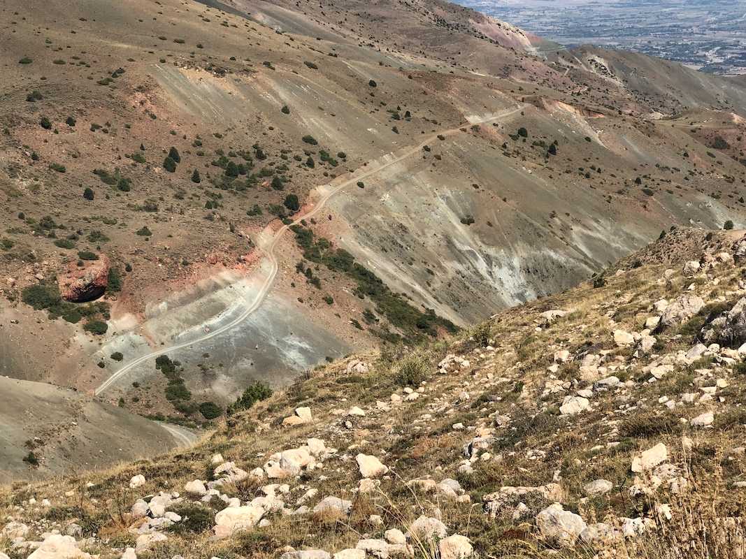
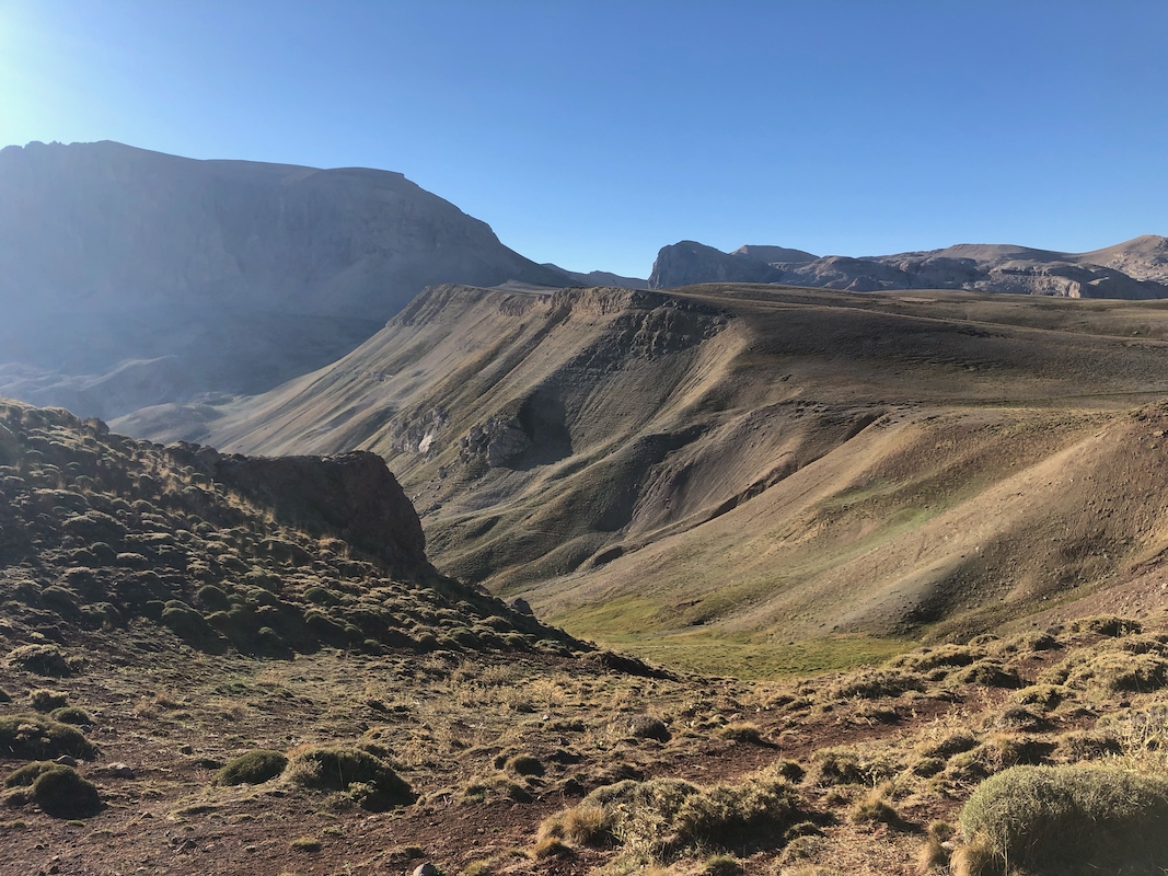
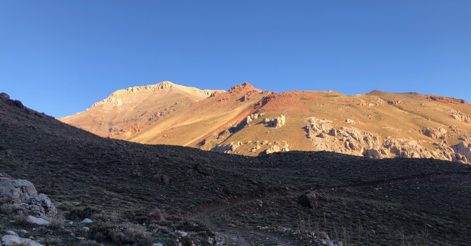
The drive is interesting and scenic as you enter the deep valley that cuts down on the west side
of Akbaba Tepesi. The road descends to the creek,
then ascends on the other side. You will pass a few
shepherd camps and eventually cross back to the west (right) side of the valley before some steep and
sharp hairpin curves bring you to the end of the road on a flat grass area.
This location
is N39.55264, E039.51487, elevation 2700 meter.
Note:
There is another route from deep into the valley on the
east side. This route has more
vertical gain, but I have no detailed information about the quality of the access road nor
the actual route.
Route description:
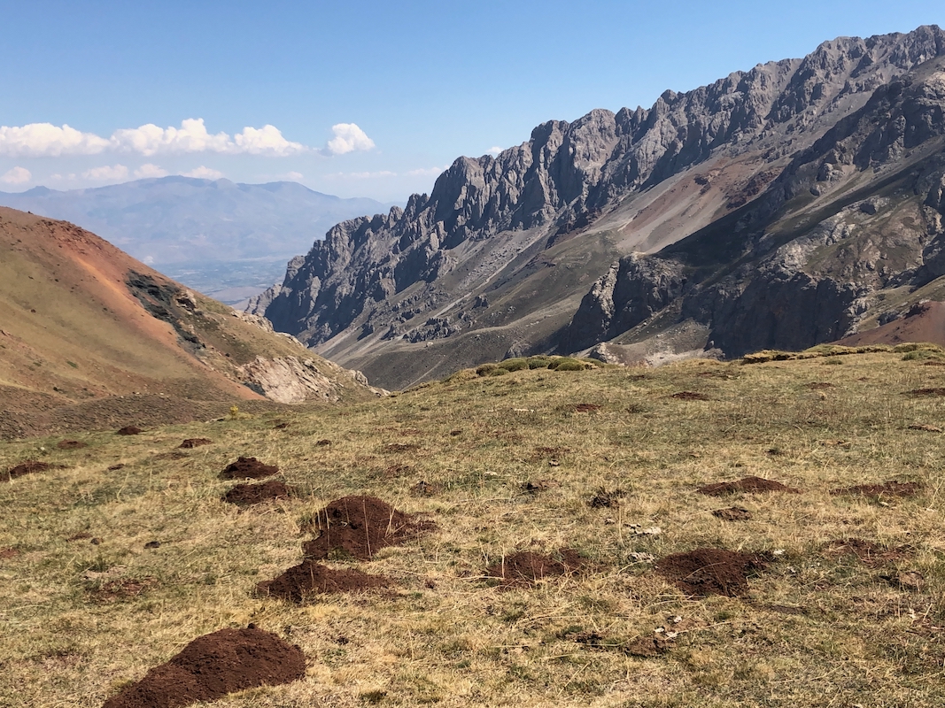
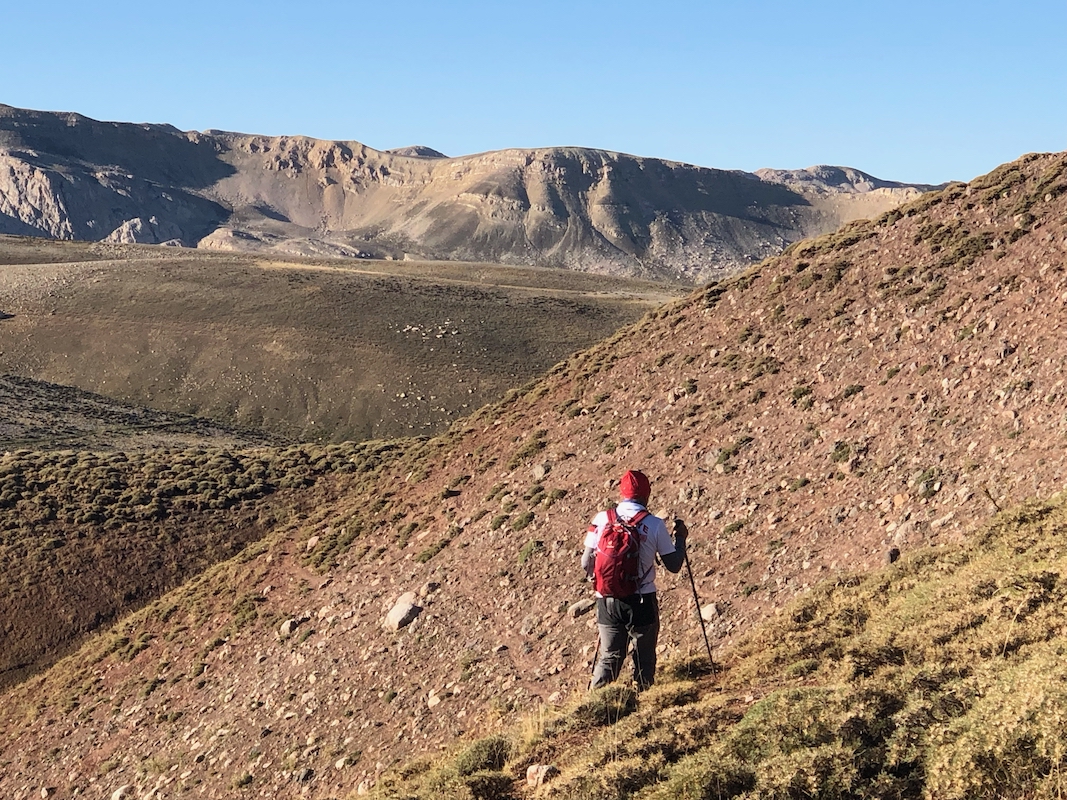
From the parking, locate an obvious, gentle ridge that heads uphill. There
are clear signs of various zig-zag paths. Ascend the ridge, then gradually turn
south and locate a clear path that traverses the hillside, then descends into
the col connecting to a fairly broad and very gently rising,
long ridge that extends all the way to the base of Akbaba Tepesi.
The distance from here and across
to Akbaba is about 2 kilometer. Near Akbaba the trail/route stays right avoiding some smaller humps before
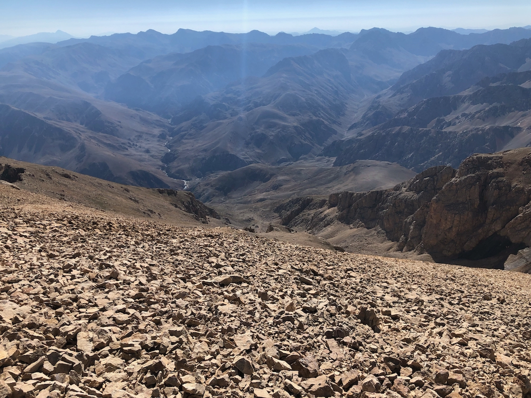
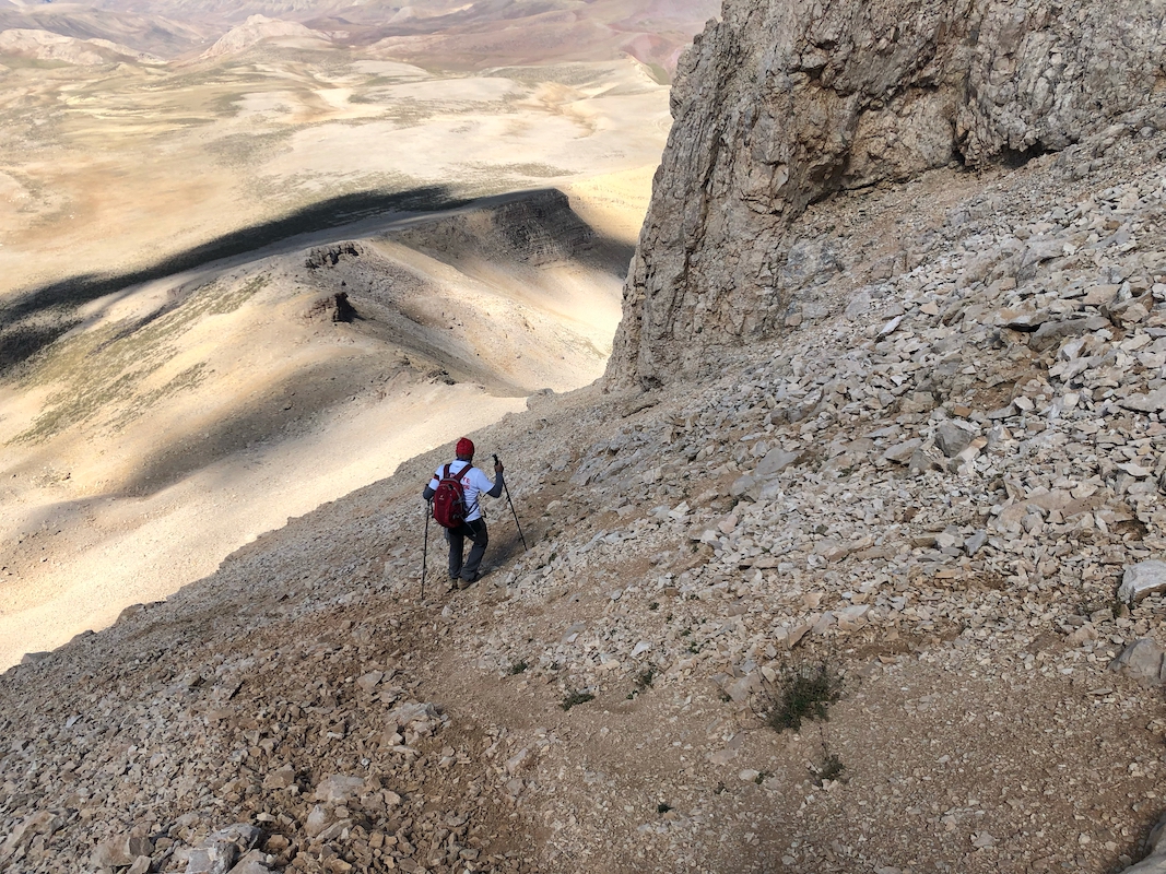
hitting the uphill slope. There is a clear climbers path in the scree that continues directly uphill.
Ascend to reach a few rock features, the trail
then traverse right,
following below the cliff. Next, turn
more left and ascend slightly steepish scree, possibly mixed with some rock.
This is the crux area of
the ascent. It is not difficult, but steep enough that rocks may start rolling downslope, thus parties
should stay together and avoid the risk of rocks hitting people below. The terrain just barely earns
a (YDS) grade 2+.
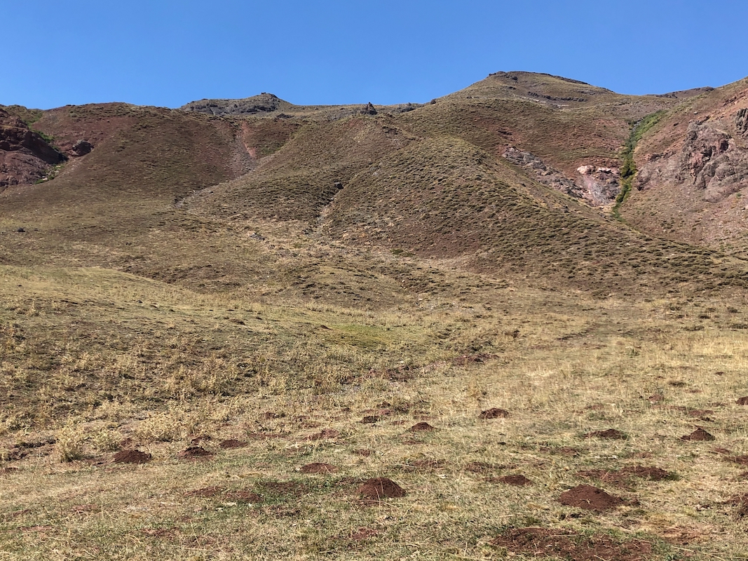
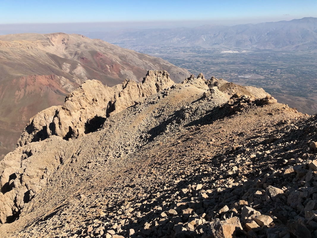
Continue to follow the tracks in the scree and reach a more gentle slope that continues to a quite
large summit area. There are two summits,
the (lower) south summit is more or less directly uphill,
while the slightly higher north summit is further left.
Comments:
I was fortunate enough to meet Yilmaz Unal, the president of the local mountaineering club, EDKIK.
He suggested that we climb the peak together. We met at my hotel in Erzincan, then drove across
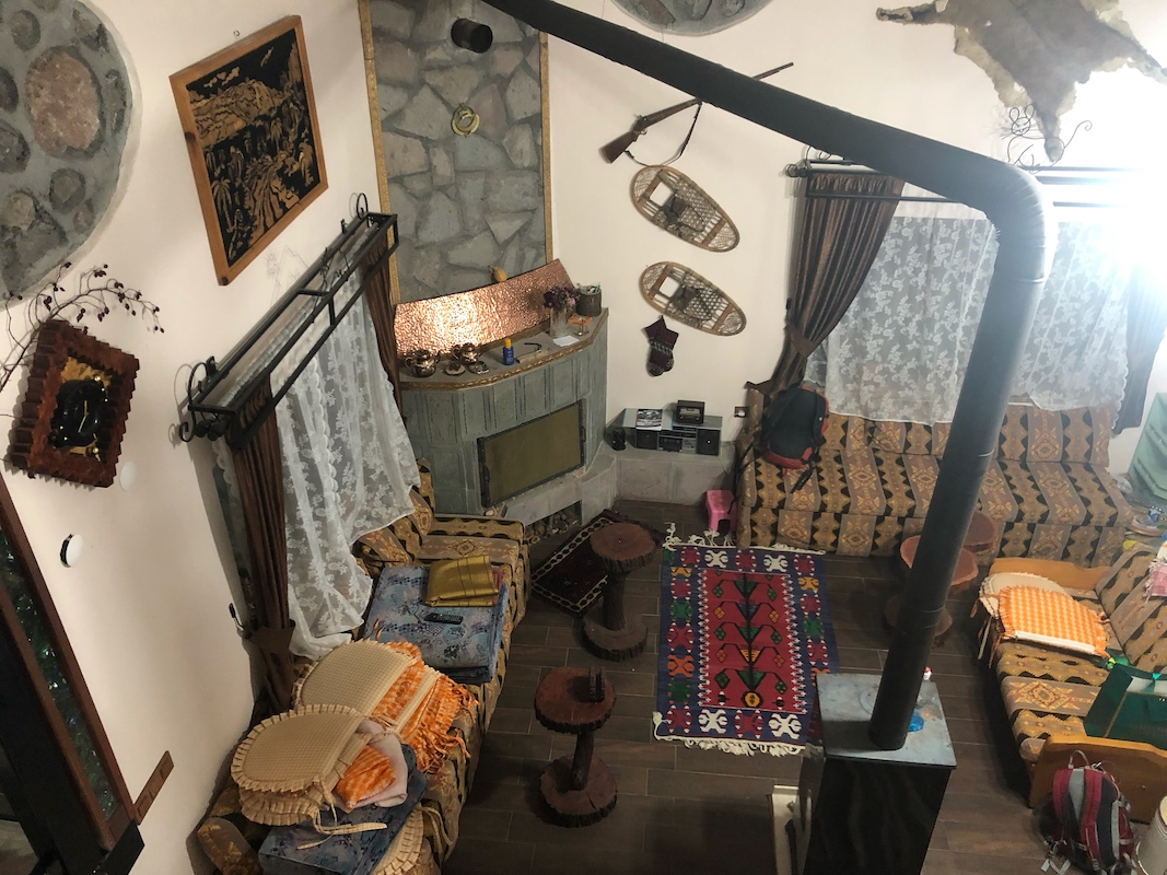
to his mountain house located in Kilickaya,
directly on the corner where the uphill road begins.
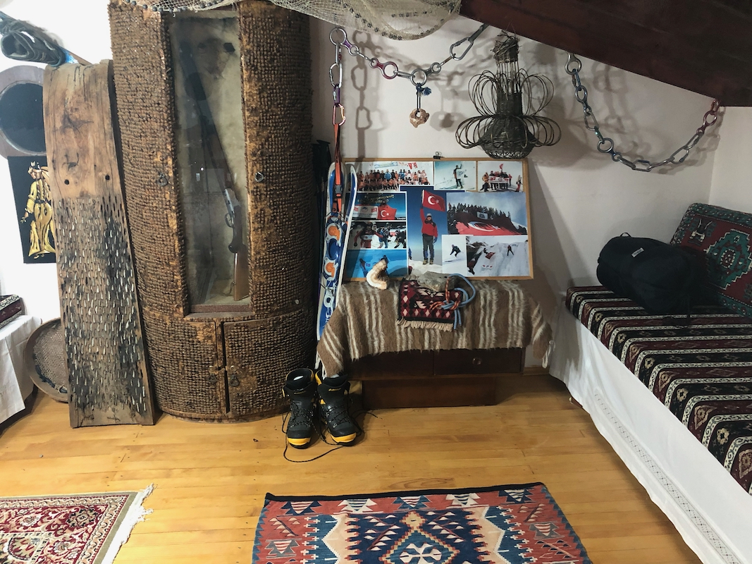
He served breakfast and tea,
I looked at his small poster with pictures
from his ascent of
Peak Lenin.
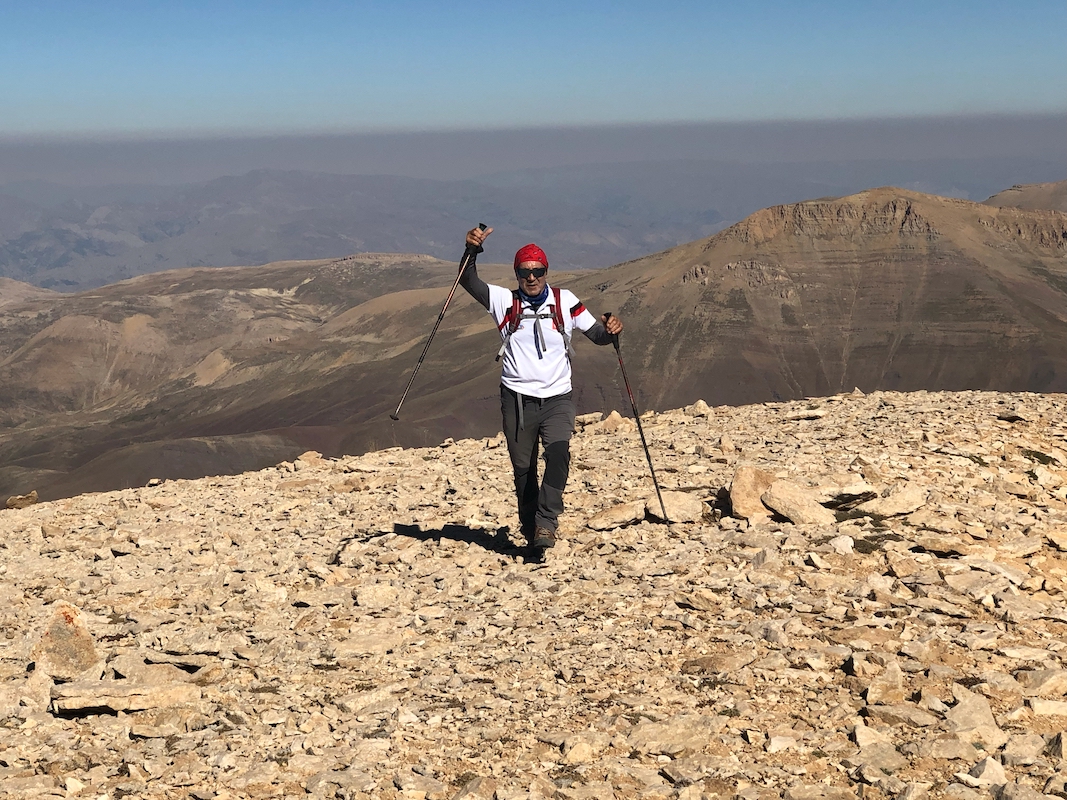
Yilmaz was 68 years old, so a good match for me.
We left as the sun started to illuminate the peaks,
the drive up to the trailhead was
quite interesting, a narrow, but scenic road, quite reasonable even for my rental SUV,
not the toughest car in its class.
We were parked a bit after 0700 and ready to go at 0720. Nice and easy terrain to walk and
a climbers path up the steeper section. Nice views across the landscape stretching south.
Yilmaz was interested in the mountain plants along the way taking pictures. It was a nice
and quiet morning, a really nice way to complete my trip to Turkey. We first visited
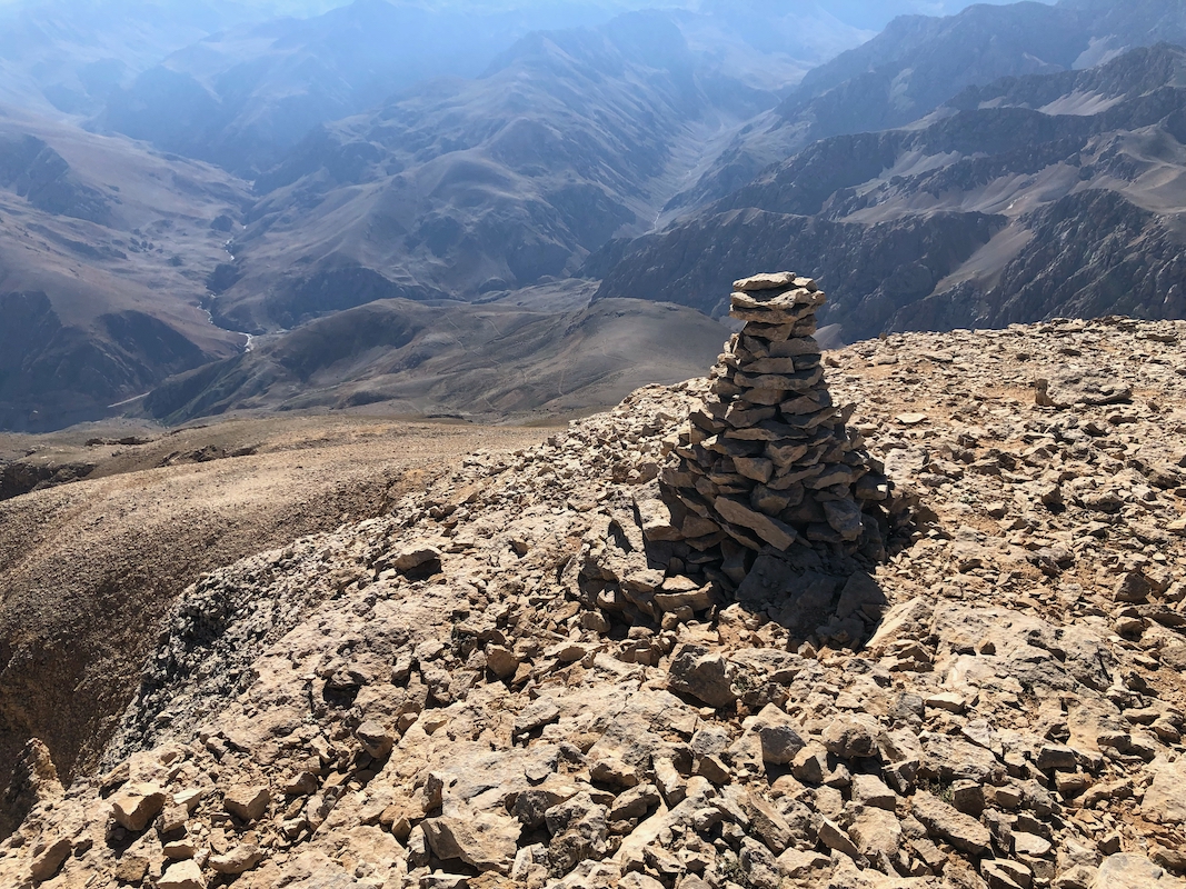
the south summit arriving there
in 1:50 hours. Nice views south and east.
We then strolled across
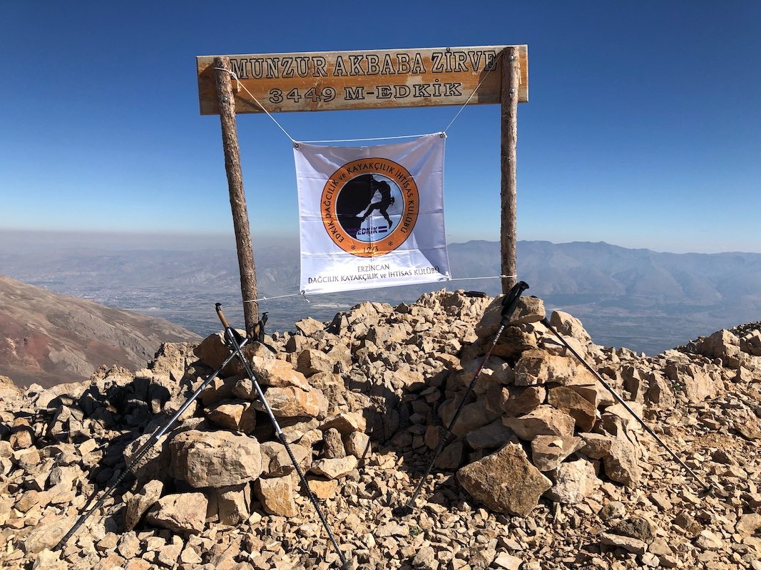
to the north summit. The big wooden summit sign that EDKIK had put up, was lying on the
ground. We spent some time rebuilding 2 cairns
that would support the two wooden poles.
Yilmaz had an EDKIK flag
that we temporarily attached between the poles as well.
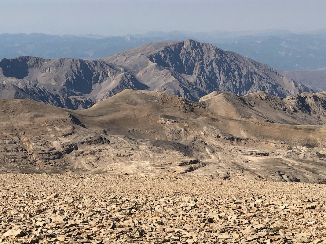
A nice panorama view, Kesis Dagi, that I climbed yesterday, on the north side of
the wide valley were Erzincan is located.
Mostly mountains to the south.
It was warm and nice in the sun, and we had plenty of time. We left after spending
more than one hour, at 1020. The return hike was equally nice, it took 1:40, partly because
we first descended too much south and had to reclimb back up a bit, then heading across
to the proper descent marked with a cairn.
We went back to Yilmaz's house and had more tea plus melon, quite nice.
Returning to my hotel in town, it had been a really good day and I was now
looking forward to driving back to Ankara the next day, then return to Norway.
I have now climbed 20 Ultra Prominent mountains in Turkey.
Erciyes Dagi has a technical pinnacle as its summit that cannot be done (safely) without
a partner, then there are 3 in the south-east that (unfortunately) are still
in a military sensitive area with access restrictions.
