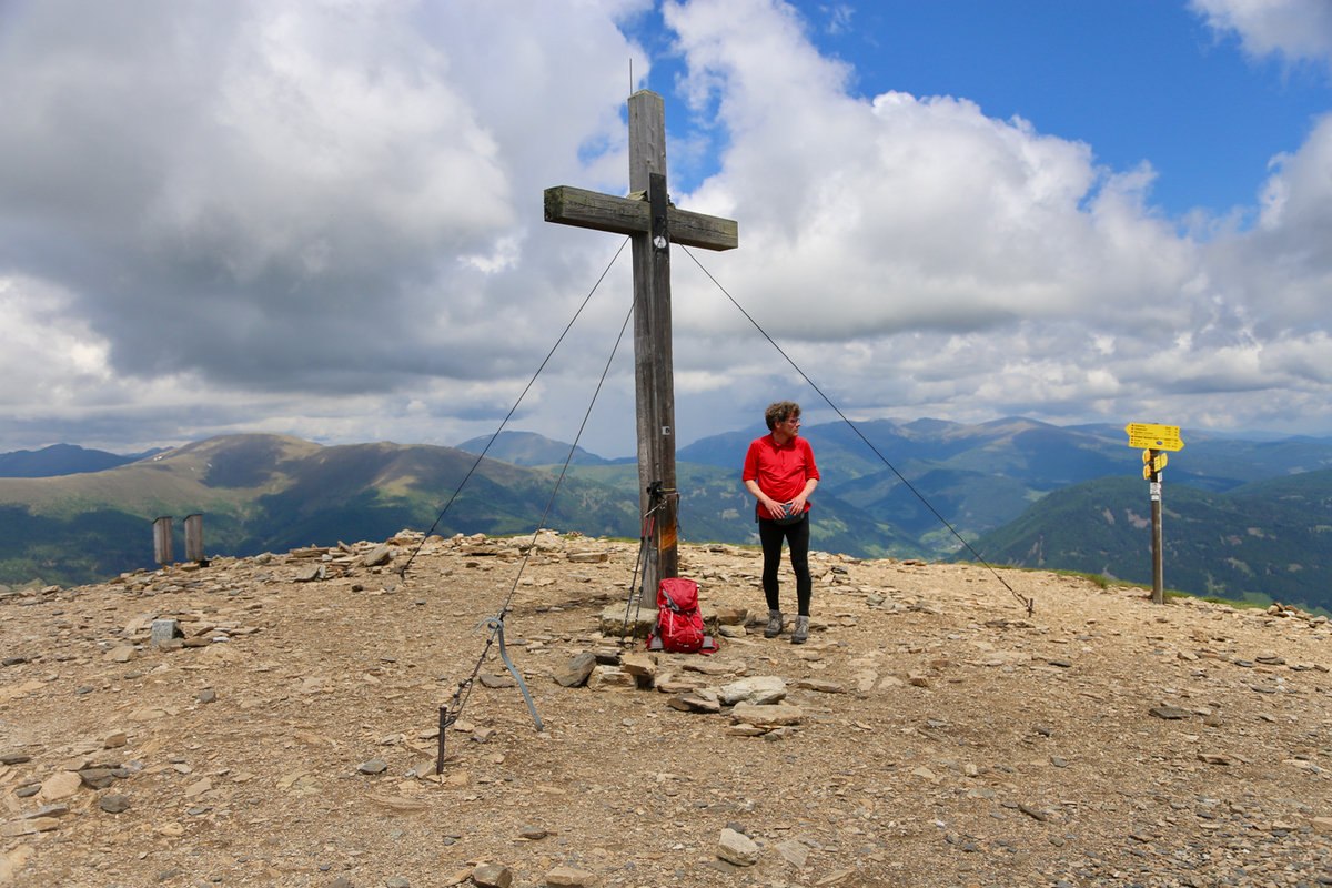
Location: North 46.77673, East 013.82855 (GPS at the summit)
Difficulty: YDS class 1
Climbed June 3. 2017.
Information:
How to get there:
A good point of reference is the city of Villach located in the south of
Austria. From Villach, head north to the intersection between the Autobahn A-10 and Hwy, 94,
this is west of Ossiacher See. From here continue north-west about 10 kilometer along
Hwy. 98. Locate a main roadfork here and turn right. Drive another 3 kilometer and locate a road
that forks left. There should be signs for a mountain road (Alpenstrasse or simmilar).
Continue to follow this road uphill. As it leaves the last farms behind, the road has a self serve
toll gate. (4 or 6 Euros in 2017). One may then continue, the road is perfectly fine for
ordinary cars as it traverses a slope and gains a ridge. Another short traverse and the road
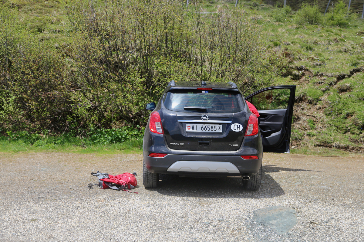
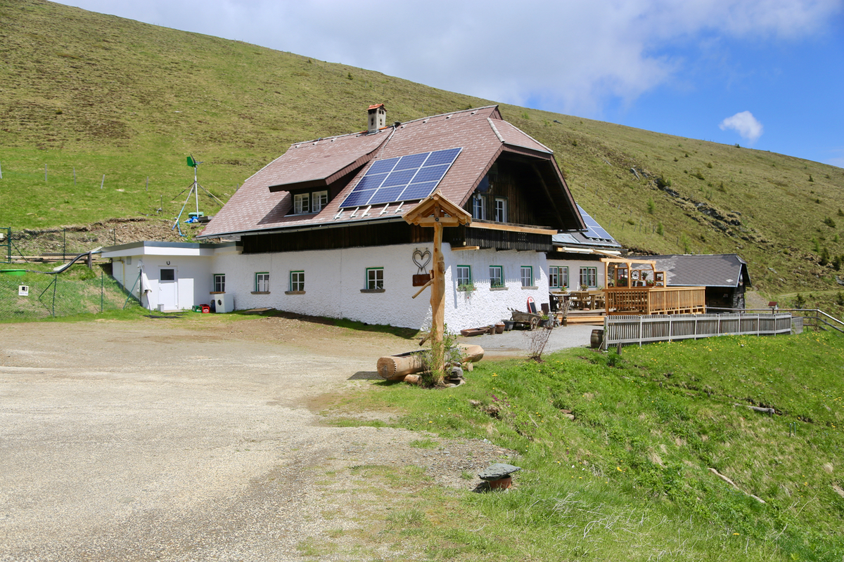
ends with a small parking area,
in front of a mountain house. This location is
N46.77626, E013.83357, elevation about 1970 meter.
Route description:
Take the trail that starts out directly from the parking. Almost immediately, there is a trail
fork. Both options serve the summit and makes a small, nice round-trip. The summit is straight
uphill, the trails contour either left or right.
Comments:
We started walking at 1230 and arrived at
the summit cross in 15 minutes.
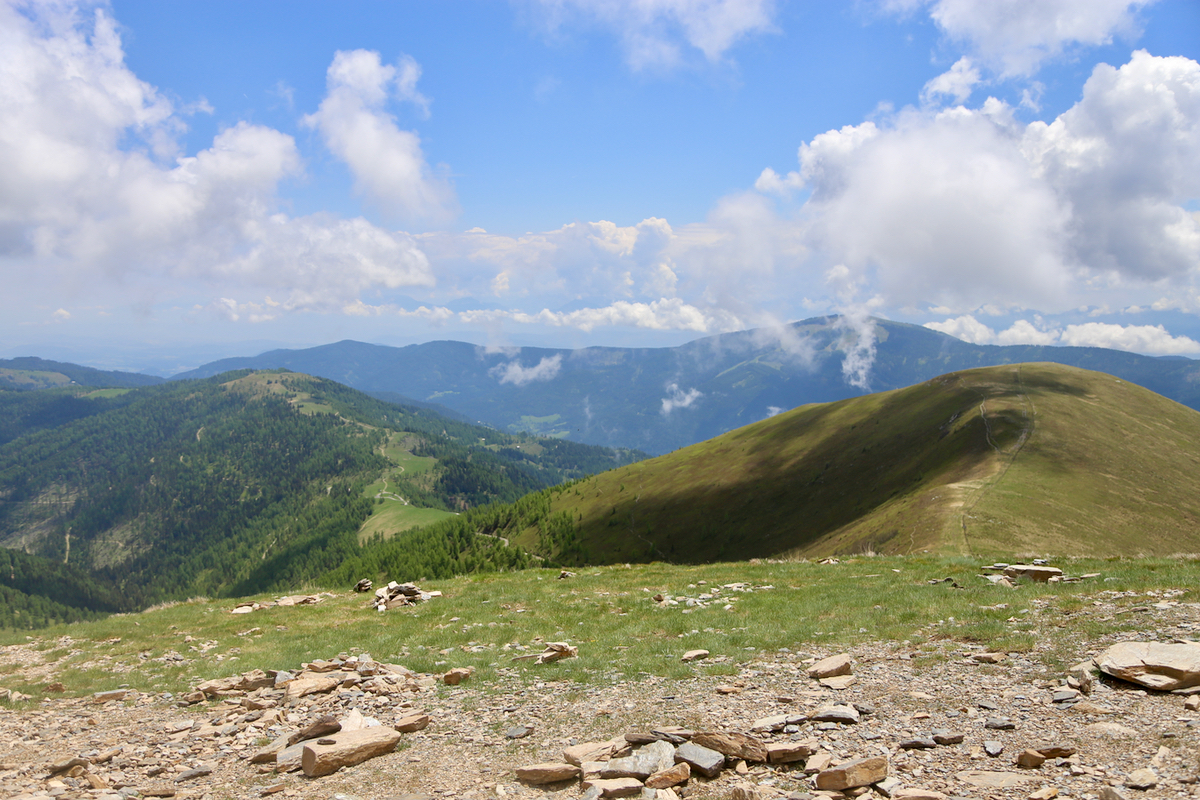
A nice summit with a good view. After the normal break with pictures and
enjoying the views,
we descended the alternative trail and were back at the car
by 1300. This is a very short walk, just a stretch of the legs.
We decided to continue our trip by visiting Dobratsch.
