Whitecap Mountain
- Whitecap Mountain
- 2918 m
- Primary factor 1533 m
- British Columbia, Canada.
- Location: North 50.71664, West 122.50941 (GPS on the summit.)
- Difficulty: YDS class 2
- Climbed August 25. 2018
Whitecap Mountain
|
|
How to get there:
A point of reference is the tiny town of Gold Bridge, location
N50.85165, W122.83865. We drove there from the town of Lillooet, one may also
get there from Pemberton on Hwy. 99 located south of Gold Bridge.
From Gold Bridge, take the Lillooet Pioneer Road going uphill (east).
Fork left at location N50.82255, W122.82517, then continue to follow this pretty
good dirt road all the way to the trailhead located at
N50.71630, W122.65849, elevation about 1350 meter.
Route description:
Follow the pretty good trail (initially old road) that forks
perpendicular away from the forest road. This trail soon bends right
and becomes a narrow trail completely overgrown with branches from
both sides, bad when wet. After this initial section, the trail
climbs heading for the valley running in from near location
N50.69896, W122.63228. After a pretty boggy section, you will arrive at
an old hut / building. From this point, one should find and follow the trail
that runs up this valley staying at its right hand (south) side. This trail
is dry, pretty well marked and avoids more wet/boggy land in the center
of the valley. Continue along this trail until you are essentially at the col
(where the valley tops out), this is near location
N50.68724, W122.59577, elevation close to 1870 meter.
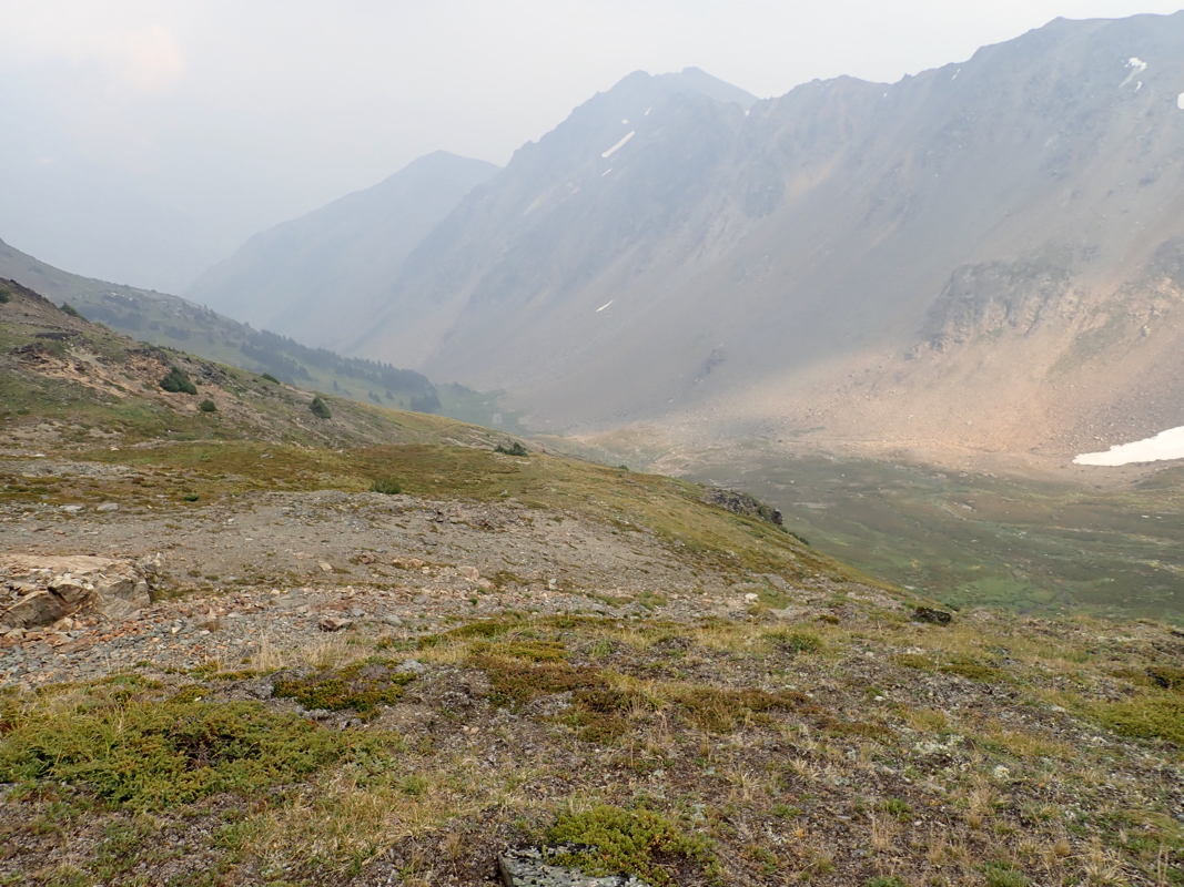
From this location, ascend more or less
directly uphill on the north (left)
side of the valley. The objective is to cross over and descend into the
valley located across the crest (north-east). You will locate cairns near
this crest (at approximately 2230 meter)
and find a very clear and visible trail that descends on the left
side (north) of the slopes towards the valley floor. Follow this trail
down into the valley and further down into the lower part of this small
valley. There is a hut / shelter located at
N50.70216, W122.55390, elevation about 1830 meter. The shelter itself is
not very attractive as a place to spend the night, but this location is
quite well placed to serve as a campsite.
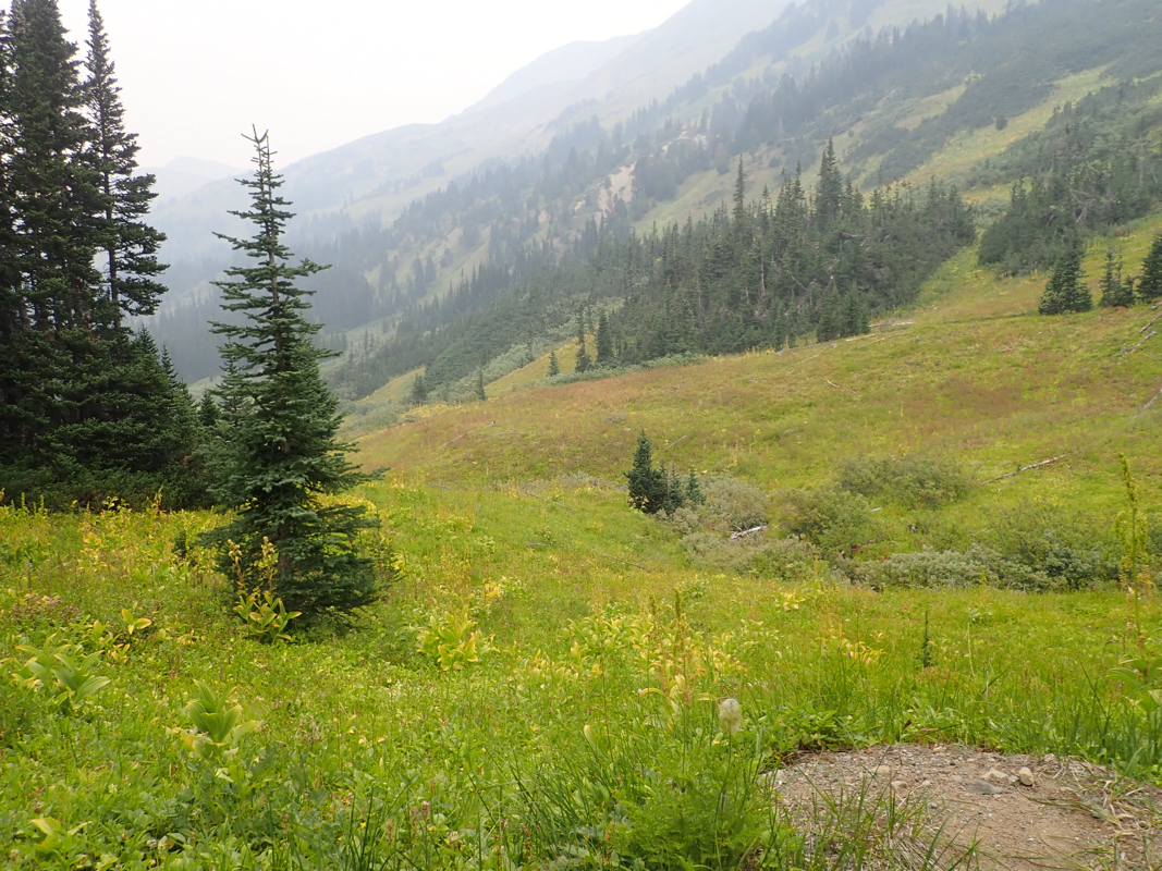
From the shelter, continue down to the valley floor just downstream, then
cross to the opposite side and gradually traverse while ascending in order
to cross a smaller valley somewhat higher then continue up steeper slopes
on the lower part of Whitecap. There are some rather steepish grass slopes
where care should be taken, in particular when wet. An ice axe may even
be useful for extra safety. Higher up, the slope eases and becomes more
rocky. Continue uphill, then gradually traverse a bit right while still
ascending. Pick what appears to be the best route as you finally reach
the main ridge/crest and follow this to the summit.
Comments:
After our adventure on Mount Seton, we stayed one more night in the local
village, then drove across to the trailhead. The plan was to hike as far as the
shelter this day, then do a full day with ascent and hike out on the following day.
After a nice drive, we started out from the trailhead/car at
1145. Inconvenient with the wet bog and we were indeed very happy to discover the good,
dry trail running up the valley along the right hand side.
The route went ok, but it is a pretty long approach and it took us 5 hours to
reach the shelter. This hut is not very attractive as a place to stay overnight,
we established camp (with my mountain tent) outside.
The next morning, we were off at 0700. The steep grass required care, one could
in the worst case have a fall with difficulty to self arrest. Higher up, the terrain
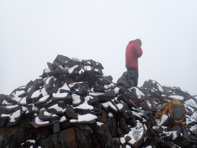
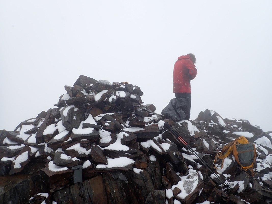
became more hiker friendly, but the weather took a turn for the worse. Fog reduced
the visibility and the temperature ran close to zero Centigrade. We arrived at the
highest point at 1030, the place did not invite to a long stay, we headed dowm already
at 1045. Back at the shelter by 1315. A longer rest was now well deserved, thus we continued
our trek at 1430. Still a long way to go, we were both quite happy when reaching
the car at 1825.