How to get there:
We started from the small village of Tepetitan (loc: N13.64696, W88.83540) on the north side.
A larger village, San Vicente is located about 5 kilometer east,
this is (tourist office) where you should
organize/obtain the necessary permit to climb this peak.
This village may be reached from the capital San Salvador located to the west, or
conveniently from the south by using a good highway that runs north on the east side of the
mountain.
With a permit to enter (at loc: N13.62265, W88.83703) and cross the property of a former
president, one may drive (with a 4WD) a pretty steep
cobblestone road up to location N13.60273, W88.84206. At this
point the road continues, but descends. There are several
variations where one would start walking from lower starting
points.
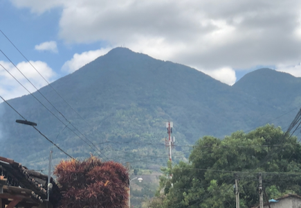
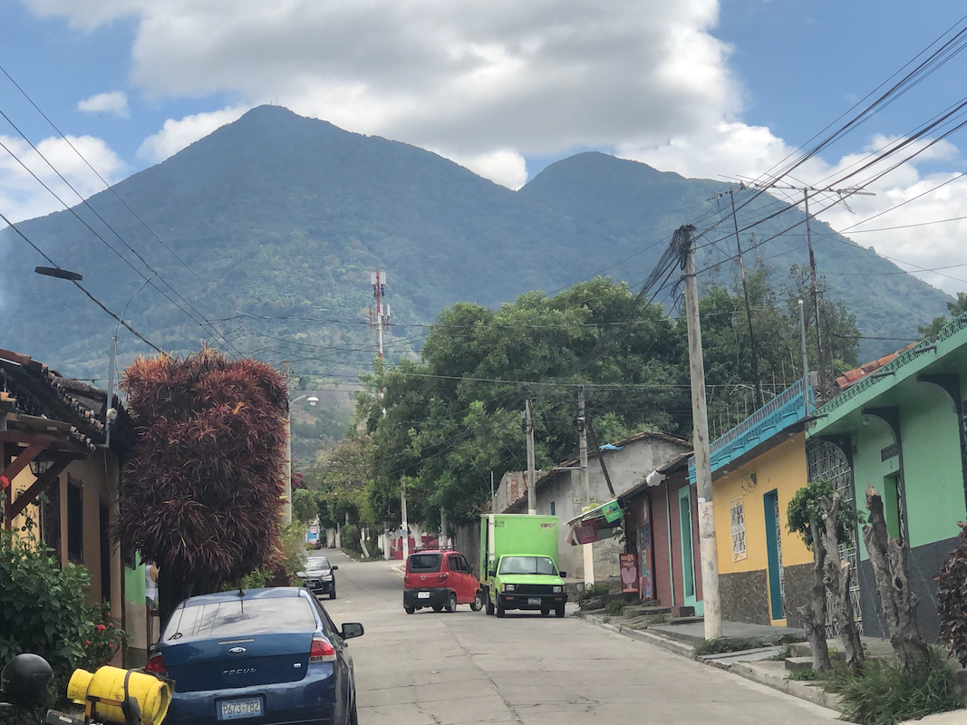
The local name of this peak is Chichontepec, meaning two breasts, a description
of this mountain having 2 summits.
Route::
A quick summary of the peaks climbed in Central America.
An obvious trail continues uphill. This trail is pretty wide and it will take you uphill with
many turns. Near the end, it is obvious that the trail stays on and climbs a ridge. Follow the
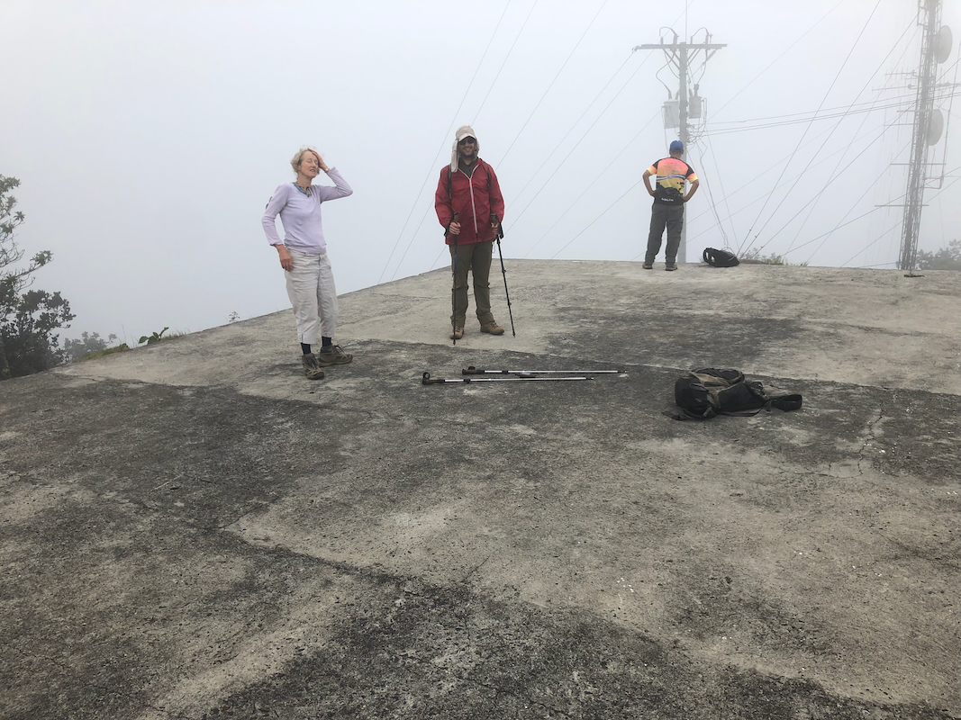
trail until you arrive at a gate that proclaims (in Spanish), no access, military area. You are
now extremely near the highest point, this can be seen just up a short hill. It is easy to
obtain a permit to walk the last little hill. However, this MUST be arranged ahead of time.
The final, short path leads from the gate and up to a
helicopter landing pad made by concrete.
The highest natural point is a small rock next to the concrete, it extends a few centimeters
higher than the concrete surface.
Comments:
We left El Zonte already at 0500. For unknown reasons, our driver took us on pretty
rough dirt roads crossing north as high as 1000 meter on the west side of
the mountain. We arrived in Tepetitan after 3 hours and proceeded uphill (directly south),
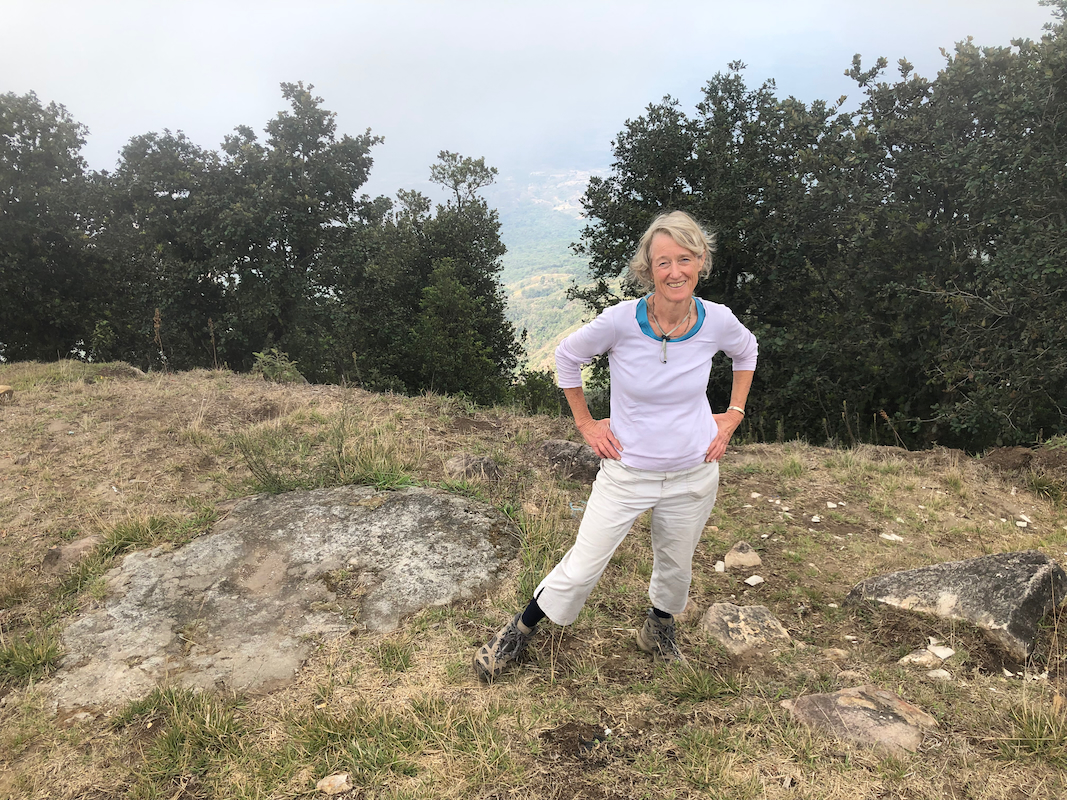
arriving at the (high) trailhead at 0900. The hike took 45 minutes,
we spent some time
on the top, but visibility remained very limited.
The descent took about 30 minutes, pretty quick, jogging most of the way.
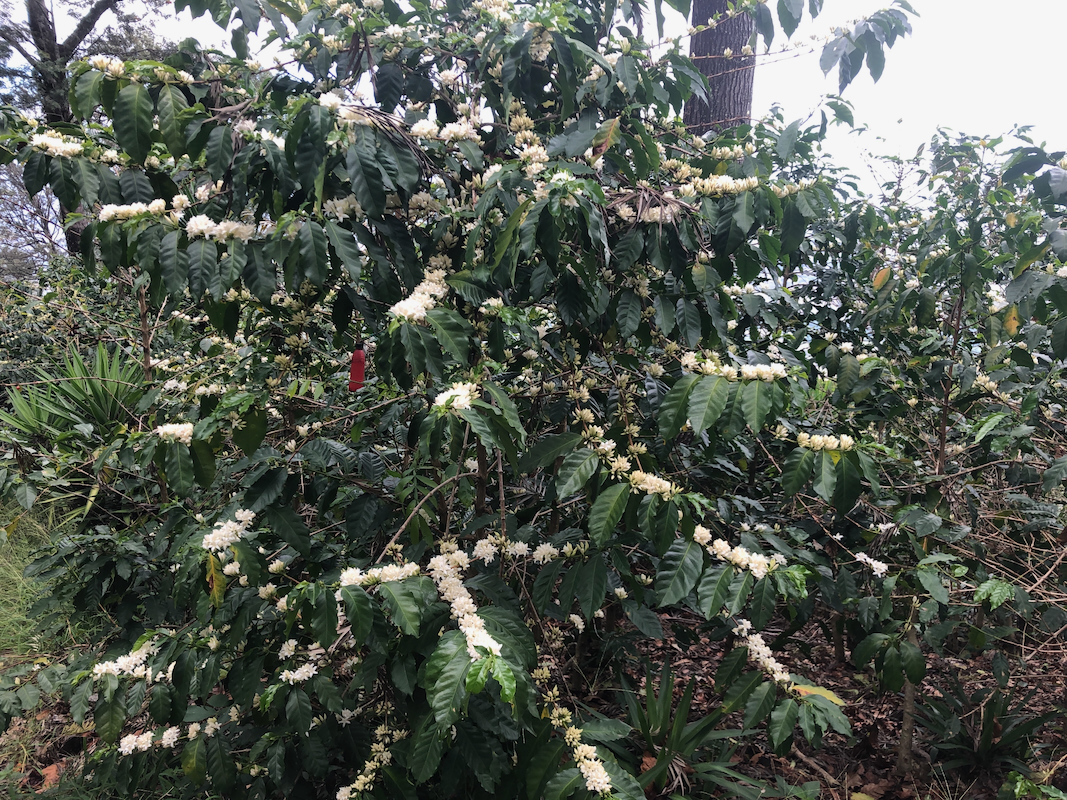
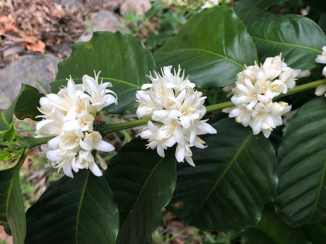
Lower down, we stopped and looked at
the coffee bushes with flowers. We were told
that the flowers
last only a couple of weeks, so good timing.
Our drive back took the road south on the west side of the mountaain, this
is a much better road and we were back in a more reasonable time.