How to get there:
The mountain summit is located at 76.21.188 north, 26.19.741 west.
This is a GPS measurement at the summit. Route description:
The mountain has a a good snow route up a north-west face.
This snow route leads to a shoulder that in turn connects
well with the main south-west ridge leading to the main summit. Comments:
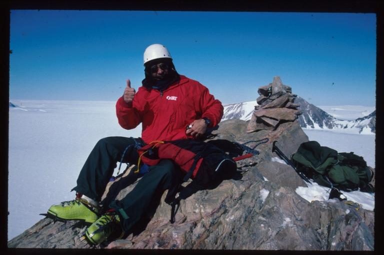
The ascent on May 20. 2000 was a first ascent. A cairn was built
at the summit. Glenn Morris, John Gluckman and myself traversed the
south-west ridge on descent.
Resources:
Images
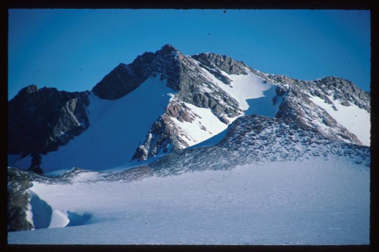
TWMC Fjeld (2150 m)
as seen from Base Camp. Nunatak Dent (1990m) in the foreground.
The ascent route went up the snow field that can be seen all
the way on the right side.