Location: North 61:32.893, East 008:08.240 (GPS at the summit)
Sognefjellet, Oppland, Norway
Difficulty: YDS class 2
Climbed: May 10, 2008
Information:
How to get there:
This mountain is located on Sognefjellet. The very nice road (Hwy.55) connecting Luster (west)
with Lom (east) normally opens late April or early May. Good starting points are the
DNT hut Krossbu (phone +47-61212922) or
the Sognefjellshytta (phone +47-61212934) located slightly further west. Driving time from Bergen
is about 5 hours. Sognefjellshytta is located at N61:33.906, E007:59.877, elevation 1416 meter.
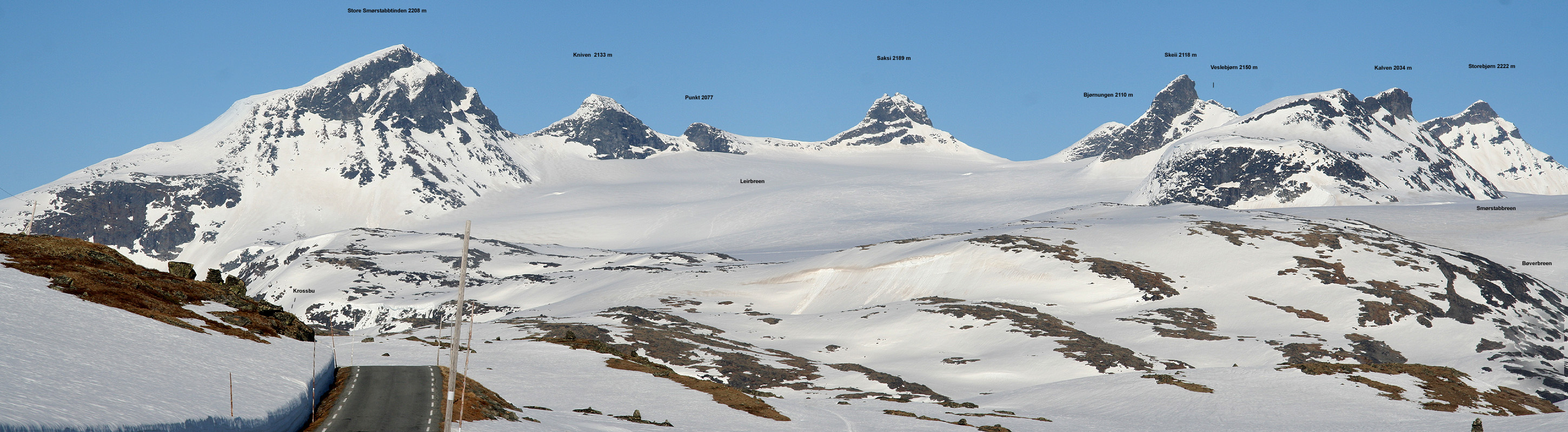
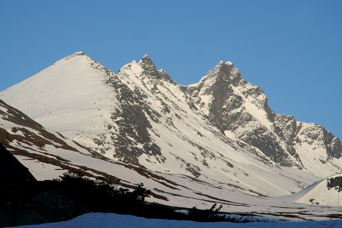
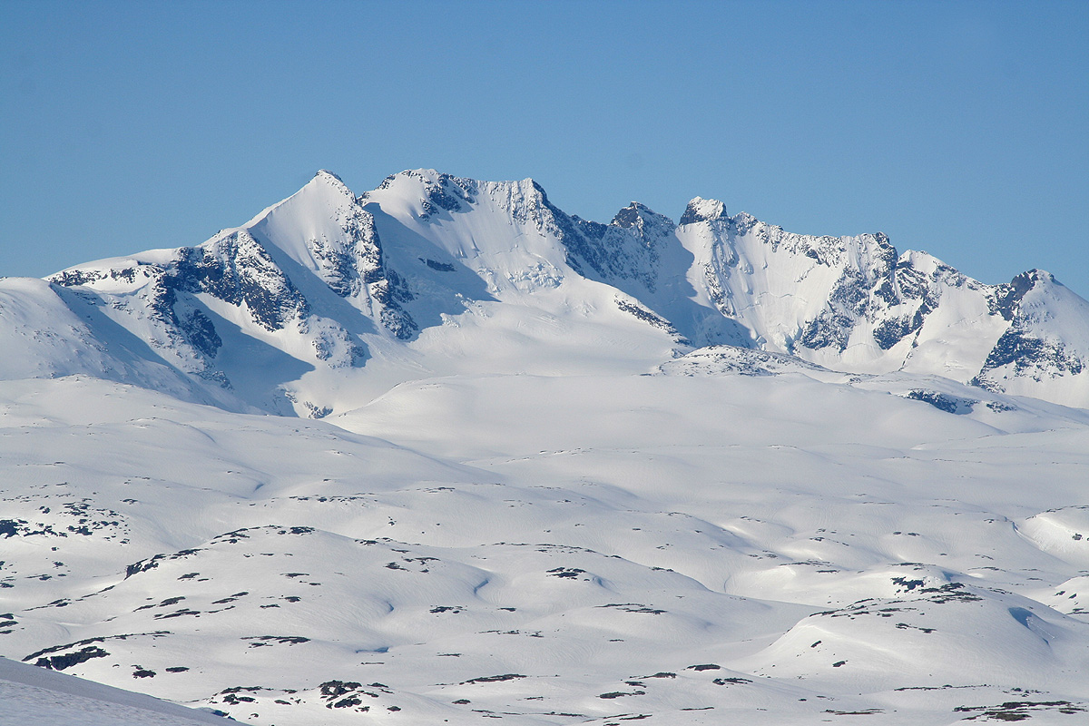
Route description:This photo provides an overview of the main (named)
summits in the Smørstabbreen area.
One can either approach Storebjørn across Leirbreen and through the col Bjørneskaret (from Krossbu)
or up along the leftmost edge of Bøverbreen then eastwards on Smørstabbbreen (going south of the
mountain ridge named Kalven) directly towards Storebjørn.
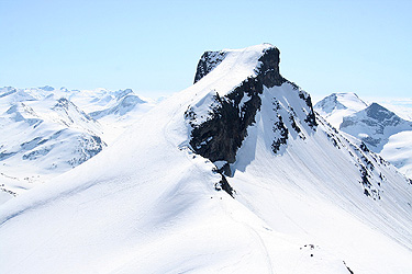
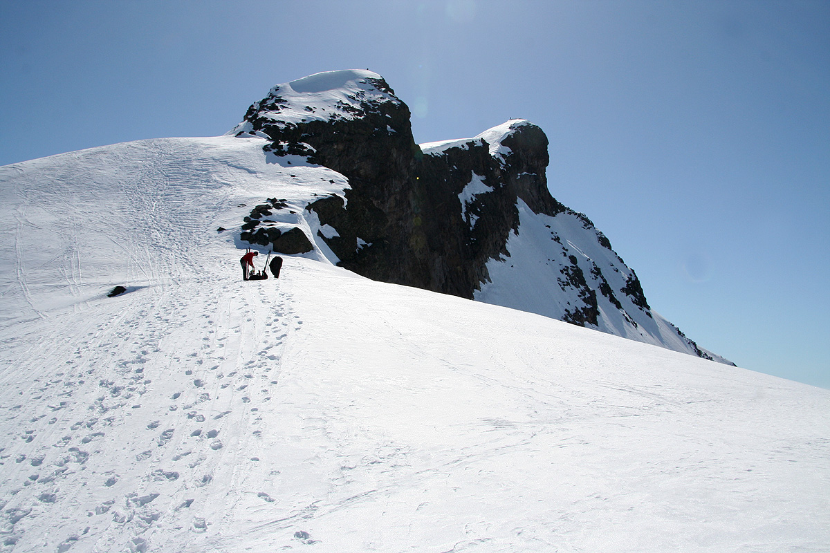
Bjørneskaret is the col between Saksi and Bjørnungen (see photo above).
Both routes can be taken from either hut, however,
the latter alternative is better when starting from Sognefjellshytta.
If you go through Bjørneskaret, then you will need to
descend a bit on the far side, going left around the
hump called Bjørnungen, before turning right and
starting the uphill climb, typically along the right side. Be aware of crevasses, in summer this approach requires
a team that has experience in glacier travel. If you take the other route, you will
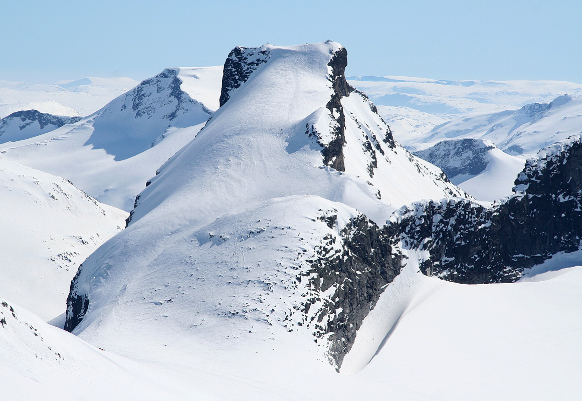
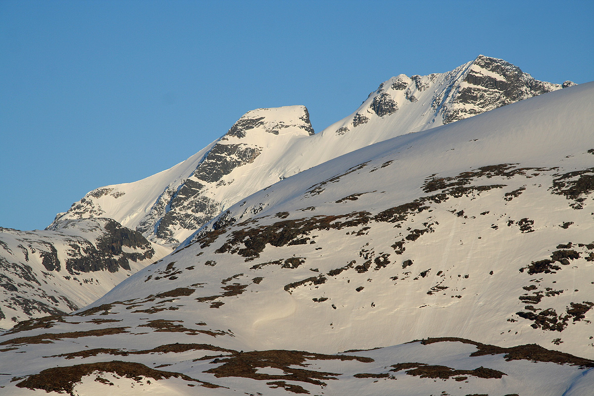
see a clear path of snow directly
under Storebjørn that provides a route to the connecting ridge between Storebjørn and
Veslebjørn. This path enters the ridge well above the lowest saddle on the Storebjørn side (ie. to the
right when viewed from below). This path looks steep from a distance, but is surprisingly nice as it curves up. It is
still steep enough that most people will prefer to carry their skis and crampons may be useful if the snow is hard.
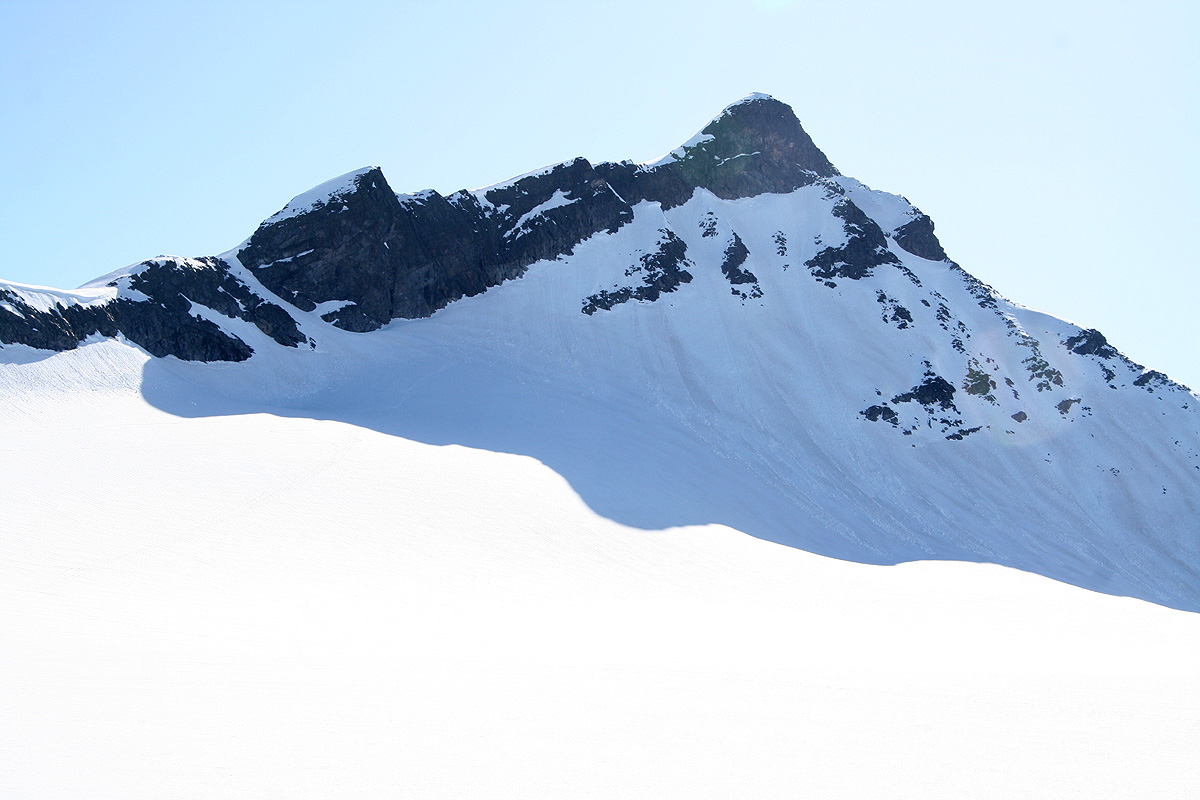
Either way, when you are on the ridge at the point where this (direct) way enters from the west, do not head directly
up the steep slope, but contour a bit left as you then
easily can bypass a very minor point that is directly above you.
Continue straight uphill on easy slopes before a moderately steeper section just before the summit. The highest point is
now a few meter to your right.
Comments:
I was on my way from Bergen to Trondheim and had decided to ski several peaks along
the way, since there was a Friday through Monday holiday period. I left Bergen around
1600 and arrived at Sognefjellshytta about 2130, they still served dinner to late arrivals.
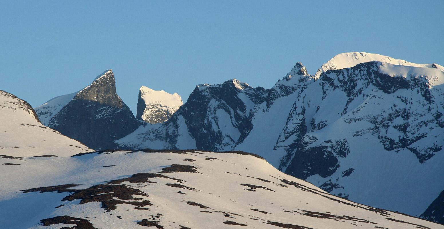
The evening was warm and nice, I made a brief stop at Turtagrø to admire
Storen (2405m),
higher up, Store Ringstind and Austabottind came into
view. The next mountain was Gjertvasstinden and Styggedalstind
before the goal of tomorrow came into full view as the sun was about to
set.
The next morning was as perfect as you can ever get a day in Jotunheimen.
The sun was already sparkling off
the main ridge in Hurrungane, from Gjertvass to Storen and beyond.
I started out at 0815 and skied easily to the bottom of the Bøverbreen glacier, then up along its left side.
From here, course set directly towards Storebjørn,
the snow connecting the glacier with the ridge looked steep from far away, but provided an easy way up as
I got closer. I left my skies on the ridge and continued walking to the summit. Despite being early, about 4-5
people had already gained the summit, among them a single guy from Canada. I arrived at the summit by 1045,
2.5 hours from Sognefjellshytta and my day was off to a very good start. I had the summit to myself for
about 15 minutes, then spent another 15 in good company with a team from Rogaland. Still, at 1115 it was
time to continue the trip.
This was the first peak climbed on this near perfect day. I proceeded to
climb Veslebjørn.