How to get there:
From Villach in the south of Austria, drive north-east on A-10 (direction Saltzburg)
for about 25 kilometer. Exit and follow signs to Weissensee. (Note that you may have
to exit earlier, then follow a parallel road in order to access the road that serves Weissensee.)
Continue up the valley on a good, but slightly narrow paved road signed for Weissensee.
About 2.5 kilometer before Weissensee, there is a road fork where a road forks left. Follow
this road a bit more than 2 kilometer. You should see a small road signed for Fischer Alm going
right. A sign tells that one should not drive this road.
There is a small parking area (signed) on the left hand side of the main road just before
this side road. Pull off the road and park there.
The location is N46.68423, E013.43938, elevation about 970 meter.
Route description:
Cross the road and start out on the small road that forks off right,
there are signs for Fischer Alm. Follow the main road, ignore a road that
branches right and also a forest road that climbs uphill to your left.
In about 30 minutes (or a bit less),
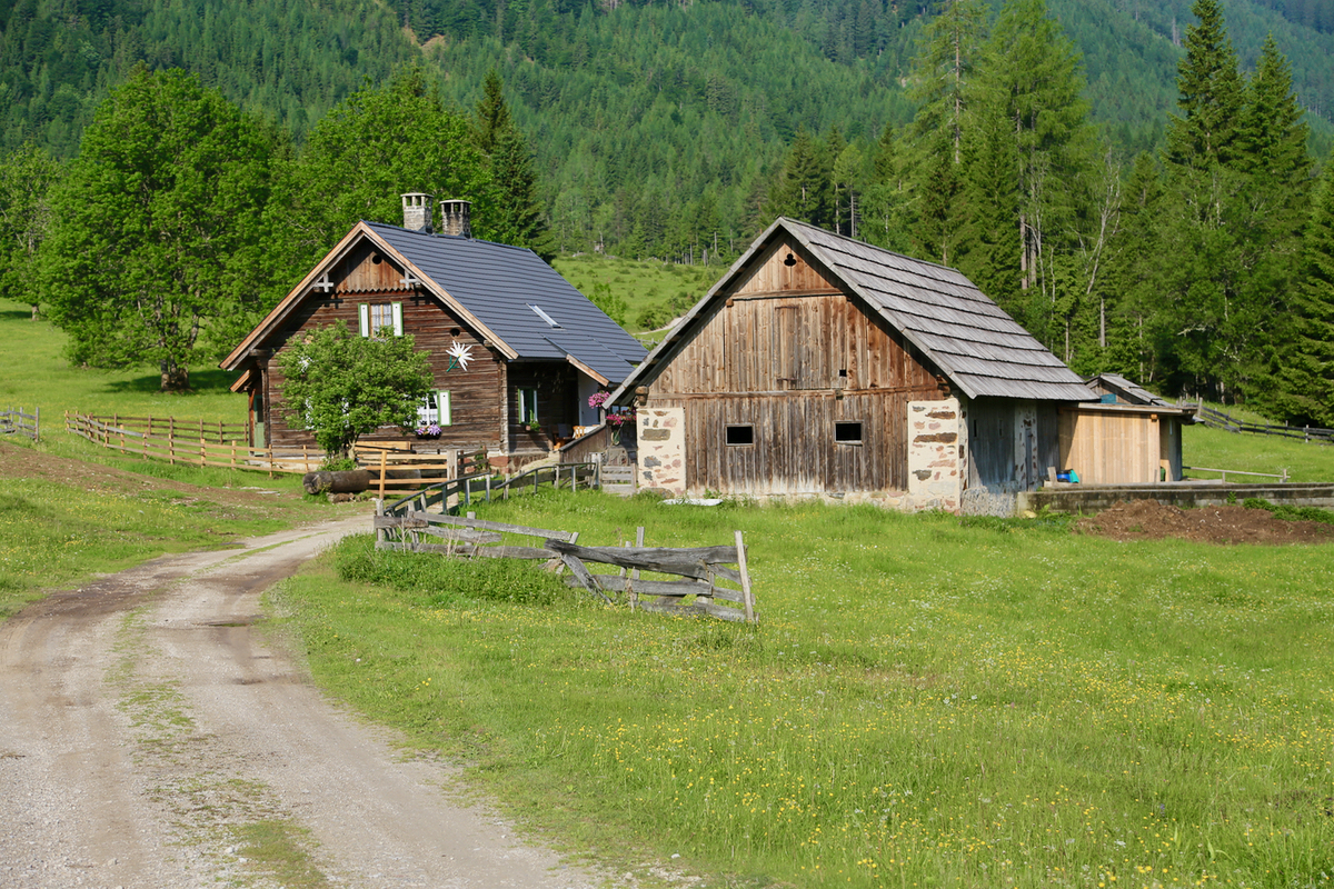
you will reach Fisher Alm.
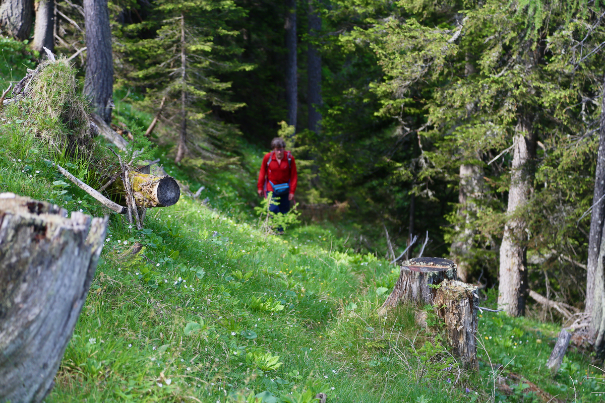
Just before you reach the two buildings, there is a signed trail going
left (the sign says Spitzegel). Take this trail. The trail is well marked,
but very small, it seems like it sees very little use. However, it can absolutely
be recommended.
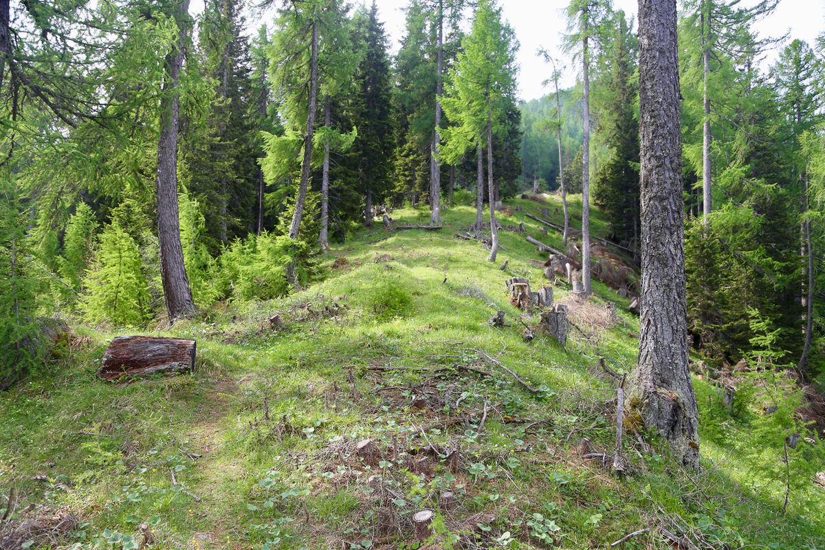
The route leaves the initial track left and crosses the dry creek. Soon thereafter,
it zig-zags up an open area where the forest has been cut, exiting left at the
very upper end. The hillside is pretty steep and there are several zig-zags as
the trail climbs a steepish ridge, frequently staying a bit on its left side
then regaining.
Higher, there is a traverse left across a distinct ravine, before gaining a more
significant ridge, there is also a trail sign at this location,
N46.66591, E013.42648, elevation about 1670 meter. This new ridge is now followed,
first a very broad and gentle climb,
then a more distict ridge that climbs more
steeply, leaving the bigger trees and crossing the normal belt of dwarf pine before
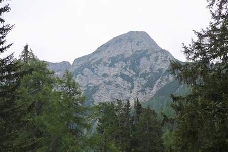
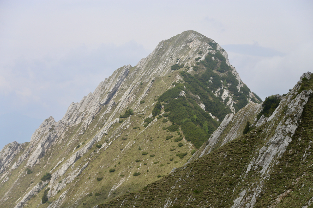
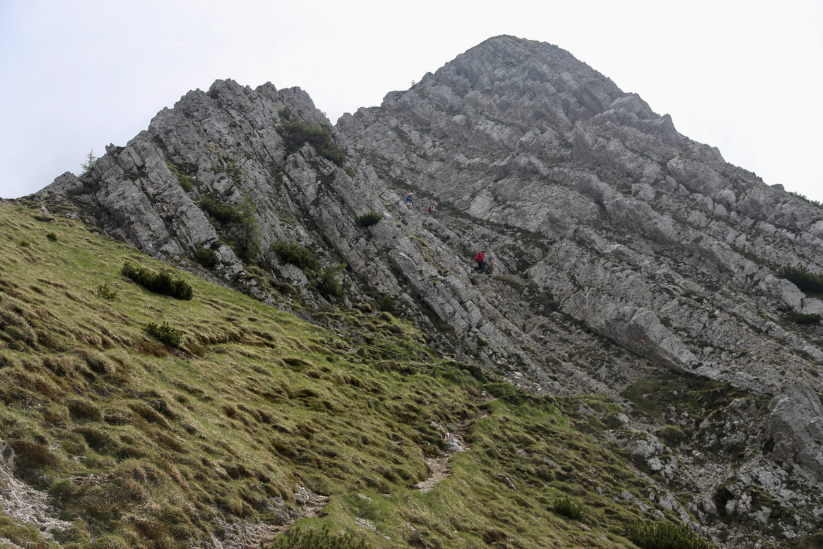
gaining the main crest at location N46.65695, E013.42650, elevation about 2010 meter.
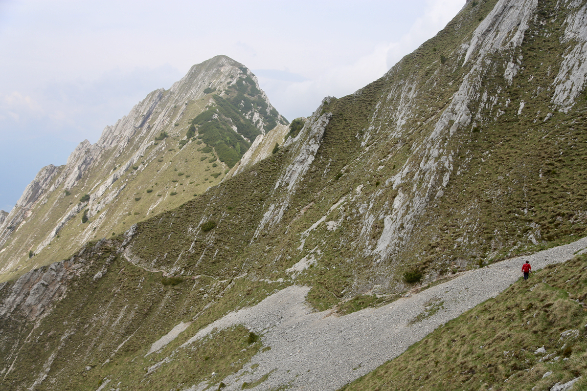
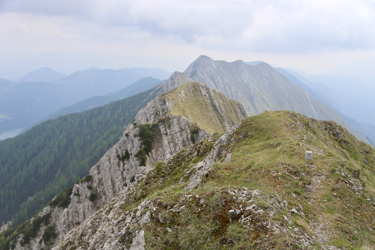
The rest of the route now runs on the south (left) side of the main crest. A small, but very
clear trail that is easy to follow. There are a couple of very short passages where one
might touch the rock, thus this route has earned a difficulty of YDS class 2. Immediately
before the final summit climb,
the route crosses briefly to the north (right) hand side
following a ledge with slight exposure before finishing directly up on top of
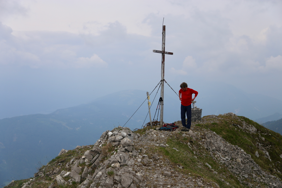
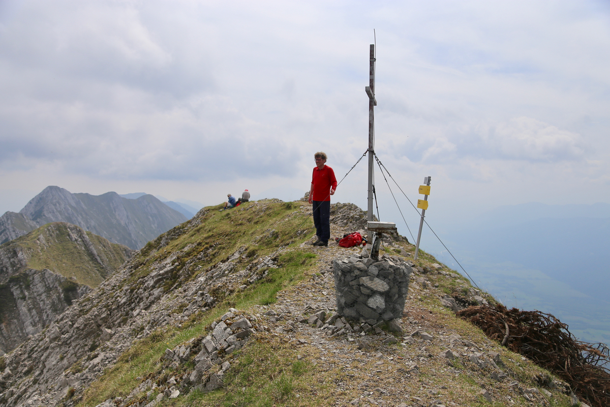
the ridge. The summit has a few
markers, a cairn with a summit register and the normal cross.
To make this trip a circle hike, one can continue along the main crest, the route immediately
descends steeply (no difficulties)
to a more proper trail below where the vegetation resumes.
The first section now descends to a saddle with forest roads and a significant forest
hill next on the crest. The trail only climbs very slightly, then traverses the north
side to reach a clearing on the west. Continue to descend to an even deeper, broad
saddle on the main crest. At this saddle, follow signs to Boden Alm, this is a big trail that
descends in zig-zags to reach a forest road. Another short walk will complete this
section at Boden Alm.
What remains, is now to follow the small road that runs at the valley floor, back to the
car parking, passing Fischer Alm along the way.
Comments:
We started at 0740 and reached Fischer Alm after about 25 minutes.
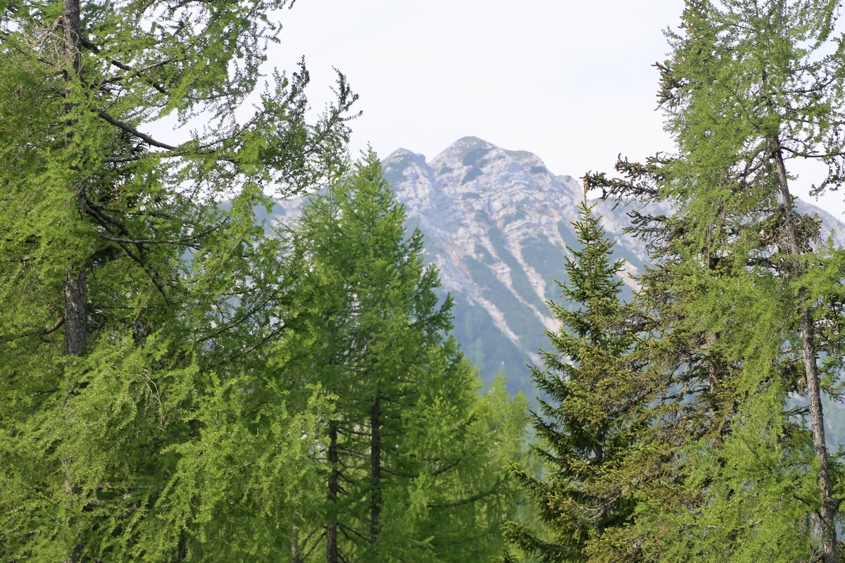
Our target could be
seen quite high above us. The trail
that continued uphill looked like it had not been used in a long while, about
time to walk here preventing the trail to be overtaken by vegetation.
We arrived at the main ridge at 0915, followed by reaching the main crest at
0950. The route along
the crest was quite nice, staying mostly on the
left side. Arrival at the summit
shortly after 1030, about 2:55 for the ascent.
Two (somewhat older) ladies were sitting on the summit having arrived from
the opposite side.
We rested until about 1050, then started our descent going west in order to
do a full traverse and altogether a circle hike. This is indeed a good option
as we arrived back at Fischer Alm around 1300, good time for a cold Weissbier!
We left about 20 minutes later, returning to the car at 1340, 6 hours after
departure.
Thanks to Geir Åke Dahlen for good company.