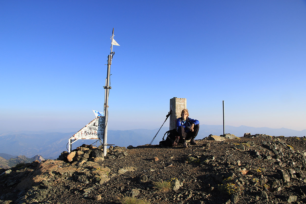
Location: North 40:05.339, East 020:55.508 (GPS at the summit)
Difficulty: YDS class 1.
Climbed July 14. 2010
Information:
How to get there:
This mountain in northern Greece, can be hiked from several
starting points. This description will cover what is most likely
the shortest and easiest approach.
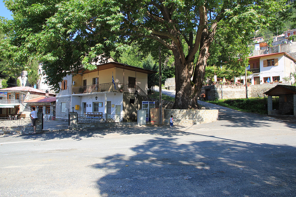
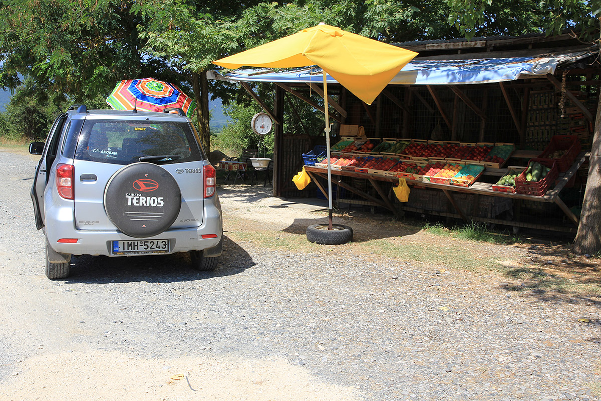
A good point of reference is the small village of Palioseli. One
may rent a room for overnight stay here. This is on the second floor
of the building next to the big tree right in the center of the village.
Ask in the taverna and somebody will help you.
Palioseli is located along a facinating east-west mountain road connecting
Grevena (east) with Konitsa (west). This road passes through Smixi, Dhistrato,
Armata, Padhes, Palioseli and Elefthero before arriving in Konitsa. The drive
is highly recommended.
Measure from the big tree in the village of Palioseli. Drive 1 kilometer west
along the main road, locate a dirt road that turns sharply right. After the
first big (left) curve on this road, you pass through an open gate. At kilometer
5.7, make a sharp right (there should also be a sign here). In the next road fork,
keep left (go uphill). Follow the main road to kilometer 6.8. At this point, a steep
(and rougher) road forks right and leads
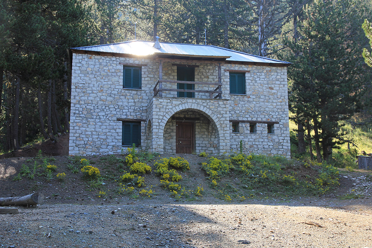
up to the mountain refuge. Take the left
fork and drive straight ahead about 50 meter where you can park.
This location is N40:04.247, E020:53.355, with elevation about 1660 meter.
Route description:
The route from this trailhead to the summit is a marked trail, partly with paint, partly
with trail markers on trees, however, one can still loose it if not paying attention.
Start out by going back to the fork where the steep hill went right, serving the mountain
refuge. Hike up this rough road, but then leave it and follow what is initially a big trail
that goes left, just as the road makes a right curve. This is about half way up to the
refuge. Just a little ways up this big trail, you will pass a very nice source of drinking
water. The water comes directly from underground, it is cold and has a very good taste. Somebody
really did an extra effort to make this a very elegant place for drinking/collecting water.
Your trail forks right (more uphill) from the initial, wide trail. This is well marked, but
pay attention. All this is within the very first few minutes of the hike.
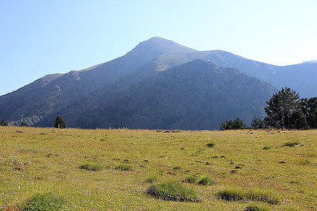
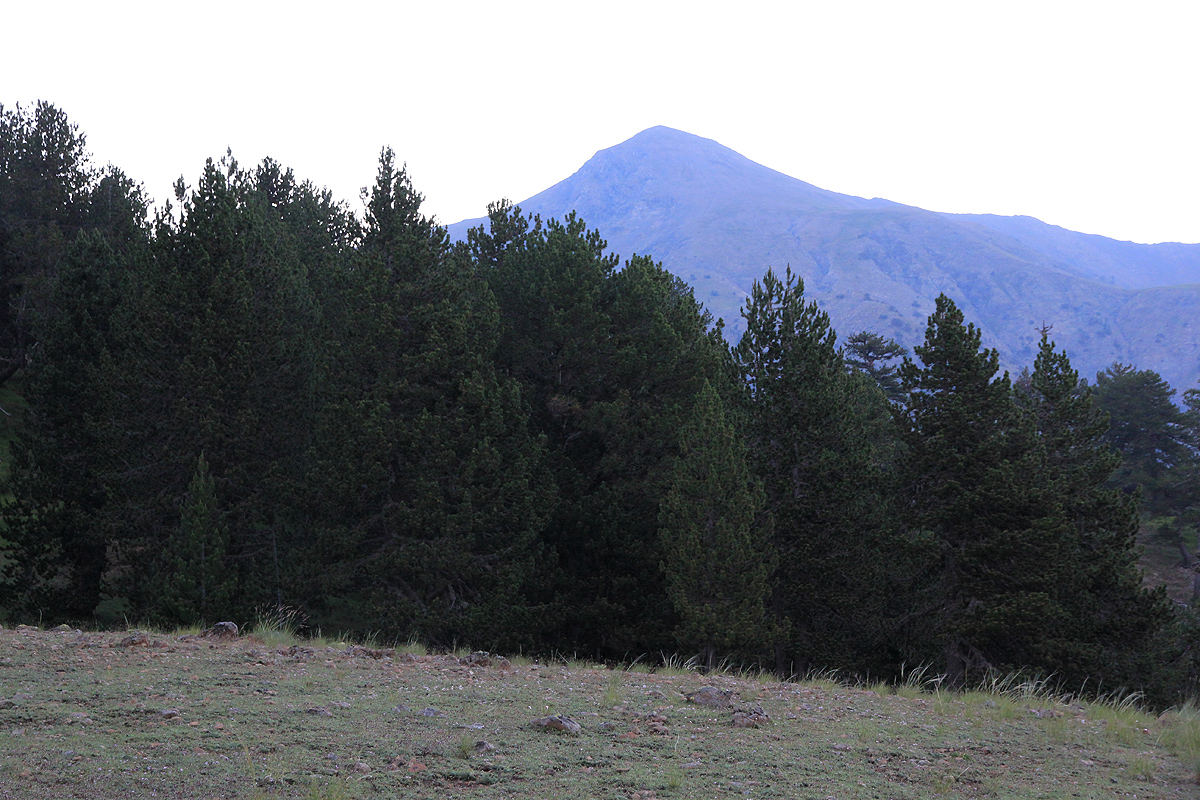
The trail now climbs rather steeply among the trees in order to gain the outer part of a long
ridge/hill that extends from south-west from Smolikas. Crossing over this ridge, the route runs
a traverse below the top on the south side. There are some open fields with only grass where the trail is
difficult to see, pay attention when you exit from the trees onto such an open area and make sure
to find the trail at the opposite side. From now on, you
will see Smolikas more or less ahead.
The trail climbs a little as it curves left (north-west) and gains a shallow saddle (col) in the ridge.
At this point there is also a trail fork and there are some signs. Your location is
N40:04.846, E020:54.279, elevation about 2050 meter. The route now turns right (north)
and gains some more elevation before a final, horizontal traverse brings you to the small
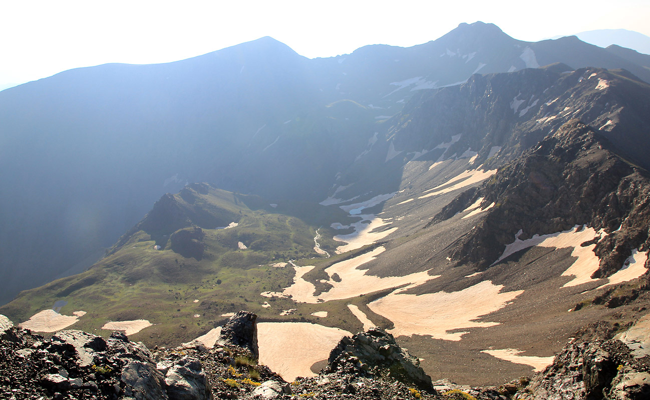
Drakolimni lake, location N40:05.382, E020:54.561, at
elevation 2160 meter, it is supposed to be
the second highest lake in Greece.
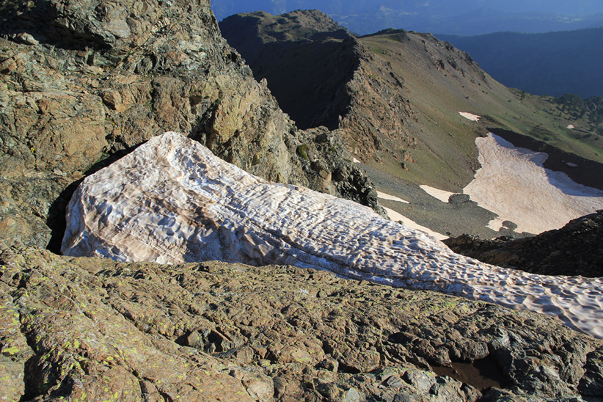
From here, the trail climbs the west face of Smolikas, first in zig-zags up the initial slope, then
onto somewhat more grass where the route curves left to
reach a small shoulder on a (broad) north-west
ridge. The final leg to the top follows below on the west side of this ridge.
Comments:
We stayed on the second floor in the building next
to the big tree in the center of Palioseli.
Getting up at 0500, we drove to the trailhead and parked there at 0530. We had a very nice morning hike
and to our surprise, we actually met two Greek backpackers that had spent the night by the
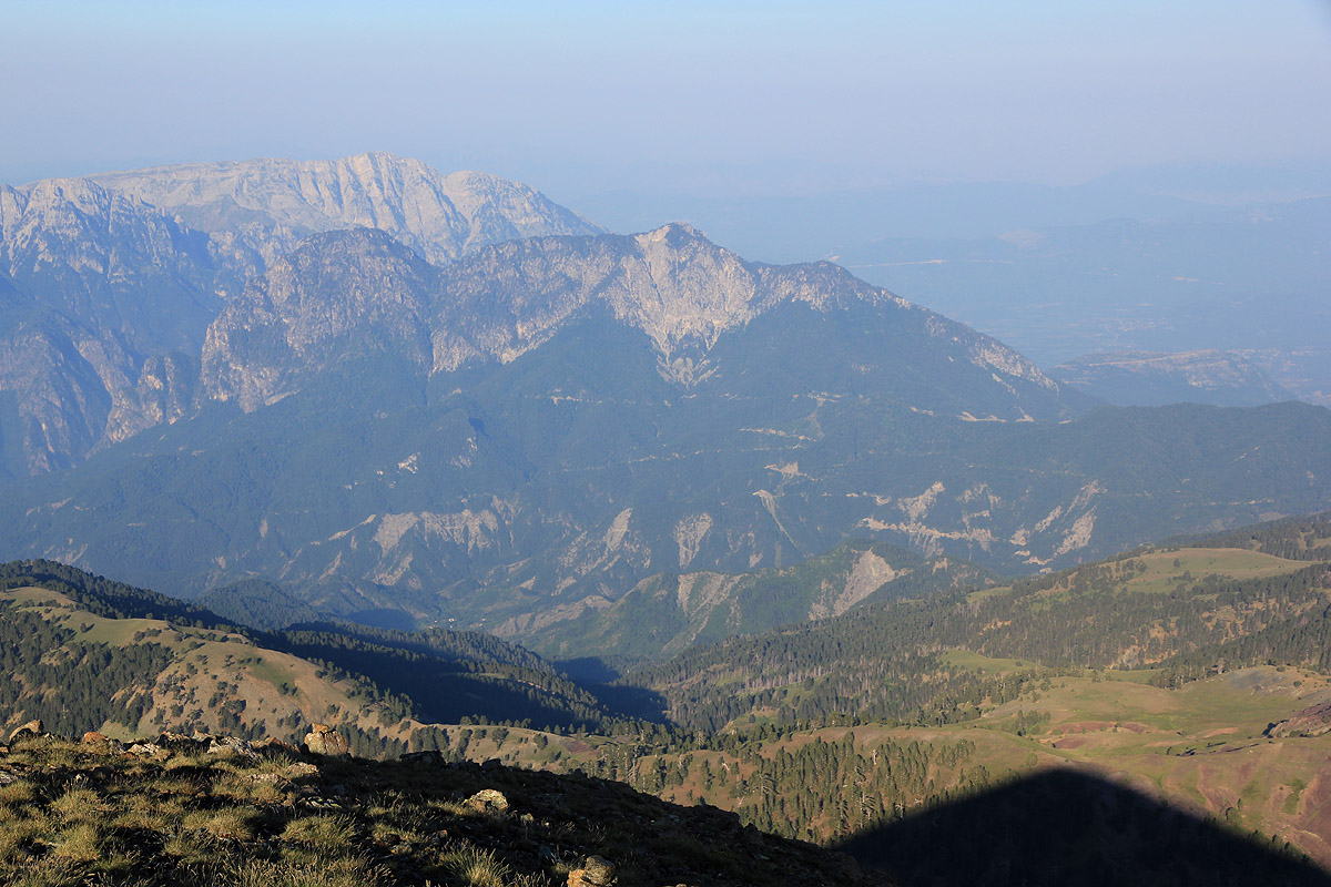
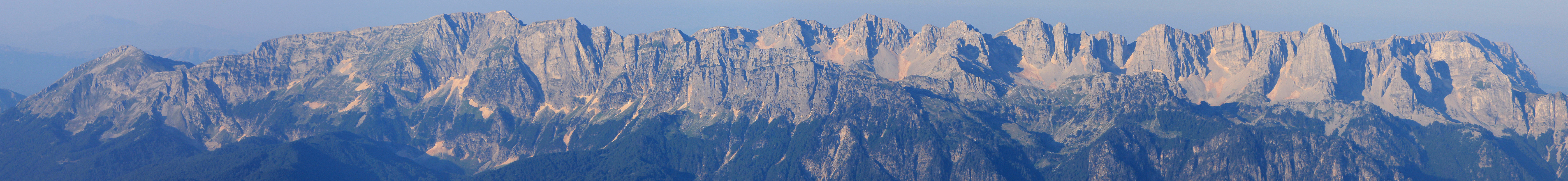
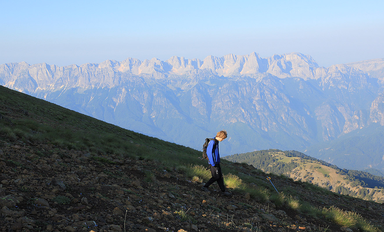
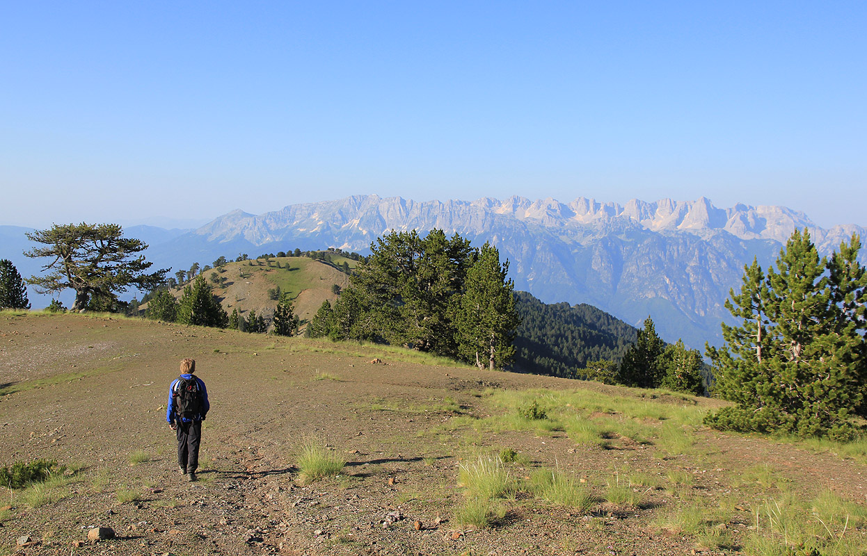
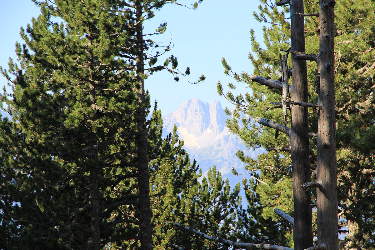
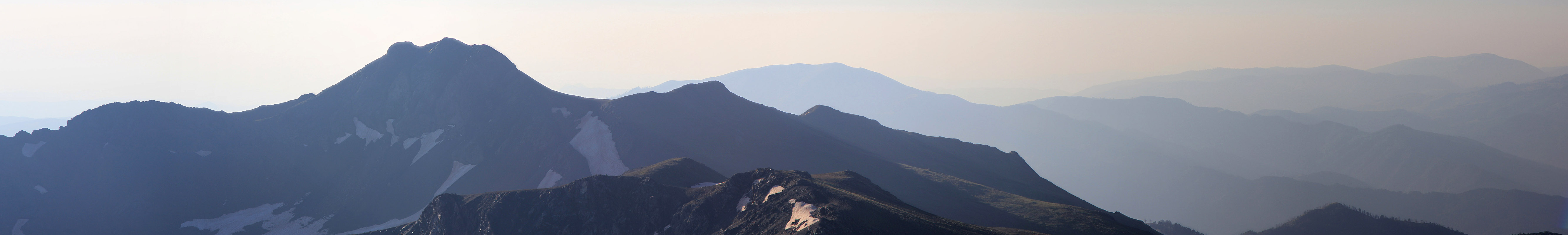
small lake at the base of the mountain. As we started on the final slopes, the sun
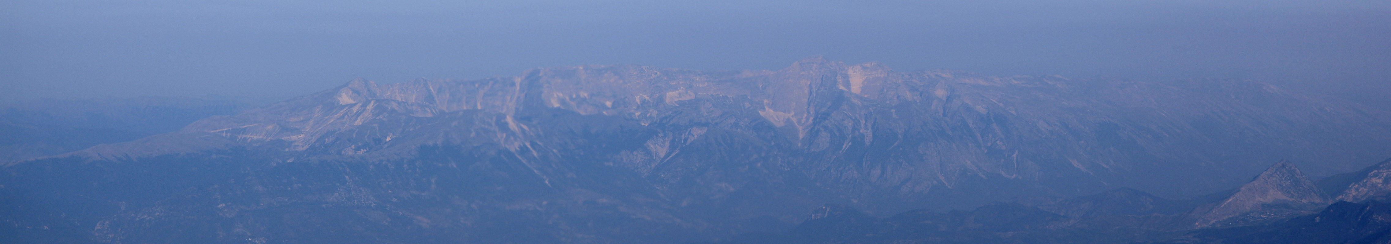
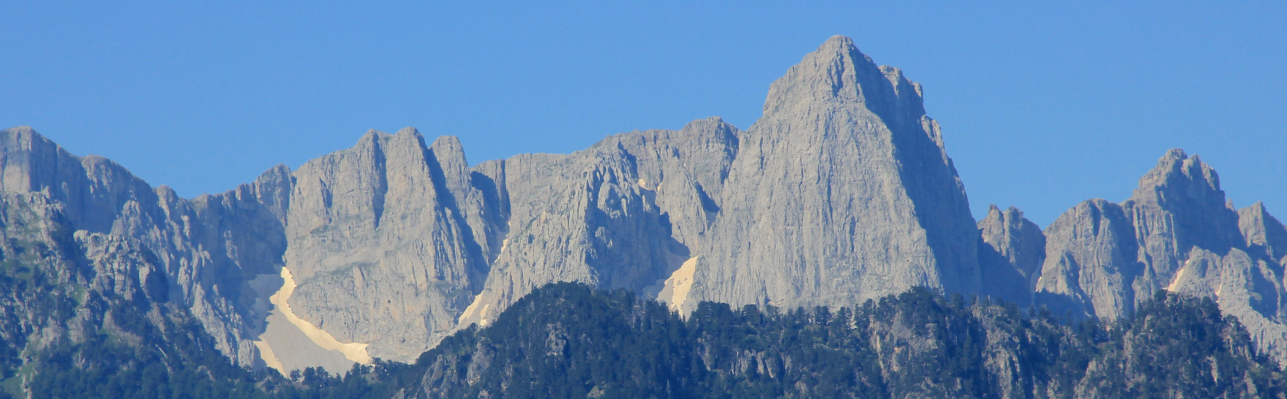
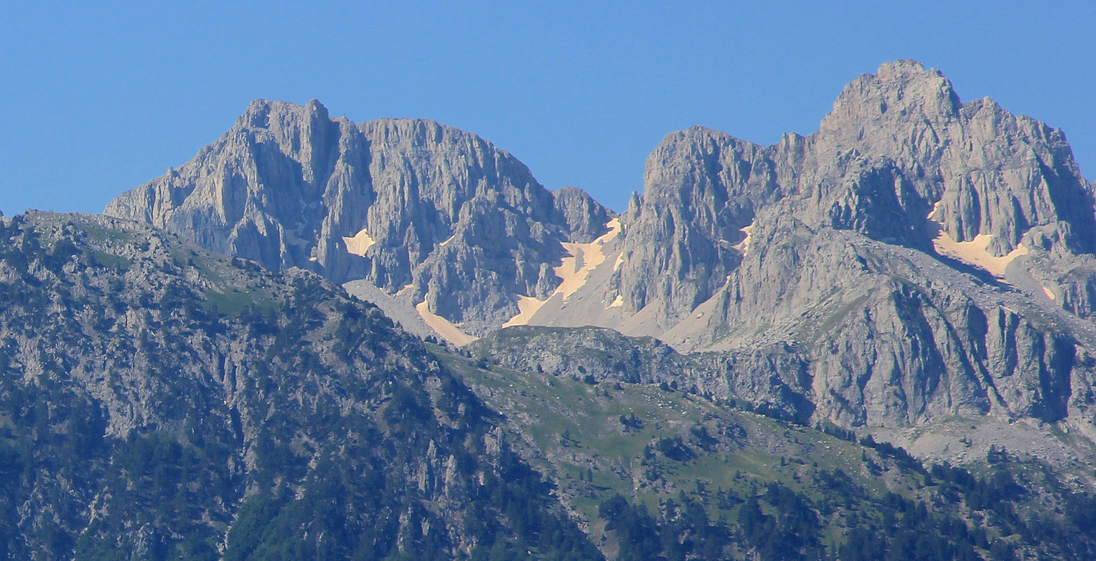
was causing the Tymfi range to glow. We
walked directly to the summit arriving at 0730, just in time
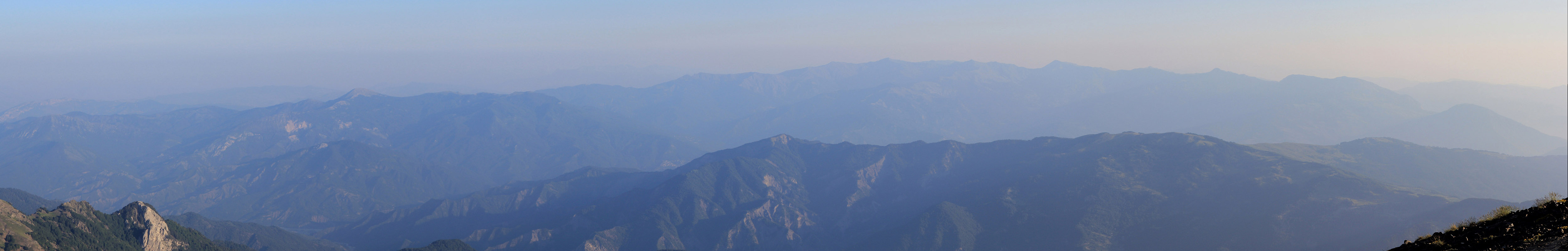
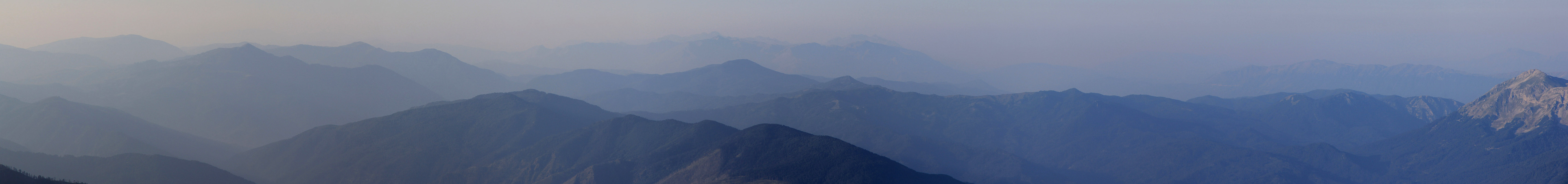
for breakfast. Very nice scenery all
around, the Tymfi range attracting most attention.We left around 0800, a
truly enjoyable walk in nice weather and good scenery. Crossing the open field
before the final descent, we lost the trail and wasted a bit of time traversing around to regain
the trail (that ran higher up). We were back at the car by 0930 and in Palioseli by 1000.
Our Greek summertrip continued towards
Psili Korifi on the west coast.