Location: North 36.79859, East 139.37589 (GPS at the summit)
Difficulty: YDS class 1
Climbed June 30. 2015.
Information:
How to get there:
Locate HWy. 17, near Gunma, this is west of the peak, or Utsunomiya east of the peak. The key Hwy. to get
on is Hwy. 120. This Hwy. runs across a high pass just north of the mountain. There are trails from the
resort area Nikko, east of the peak, however, the easiest approach is from the north-west at
Marunumakogen ski area. There are big signs along the Hwy. and the base of this ski area can be seen from Hwy. 120.
The parking area at the base of the lifts is located
at N36.81607, E139.32935, elevation about 1400 meter.
Buy tickets for the lift and take it to the top station located at
N36.80670, E139.35522, with elevation just above 2000 meter.
Here is a quick reference and summary of climbs in the summer of 2015.
Route description:
When you exit the small ski-lift gondola cabins (each seats 4), head around the
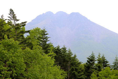
buildings (on the right) and towards the peak that may
be seen directly uphill.
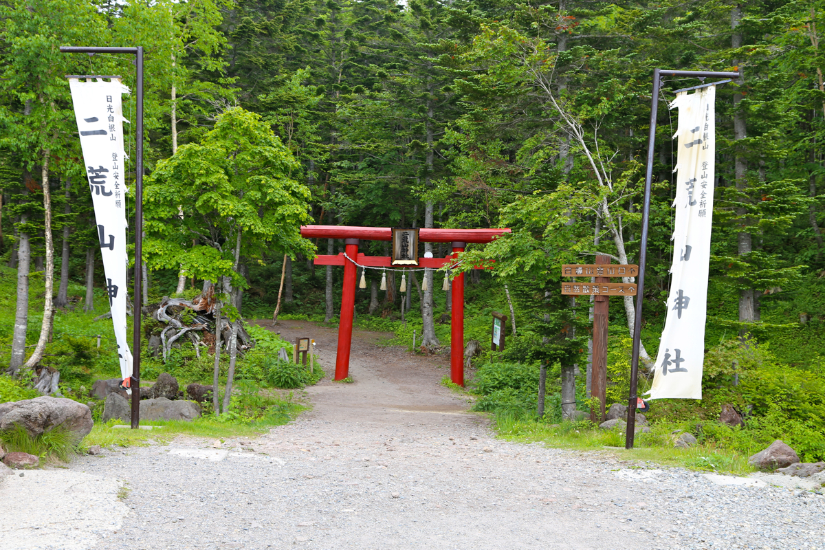
Pass through a gate, then
locate a black iron gate that you also go through. Take the
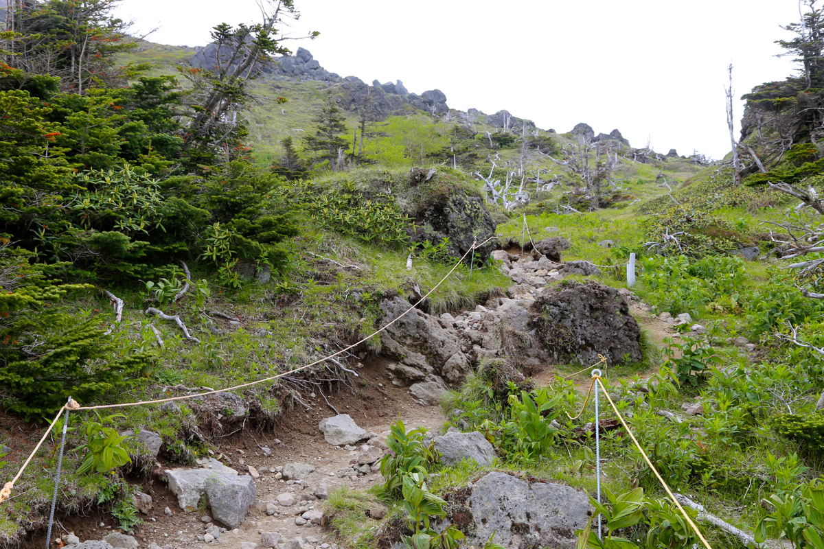
wide path that heads slightly right. There are many signs, you should walk in the
direction of point 5, passing point 2 along the way. The trail then does an ascending
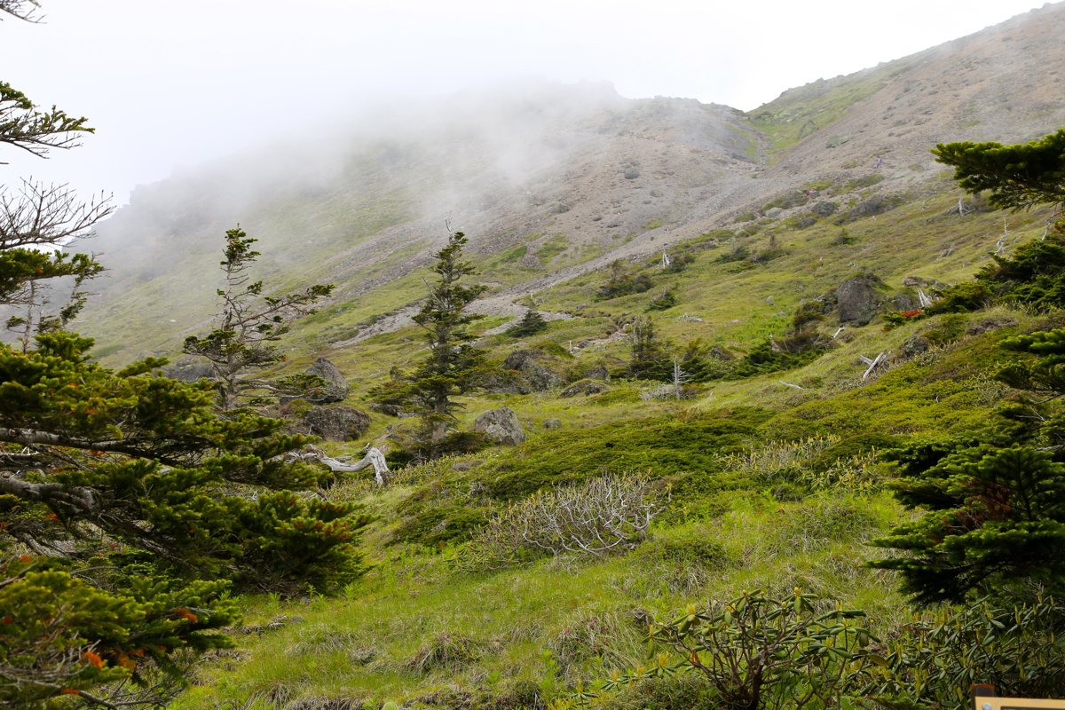
traverse going right (when facing uphill) until it abruptly
exits the trees and gets
into the open. You
are now quite close to the summit, a few zig-zag turns on the trail
before a final uphill pitch and that is all.
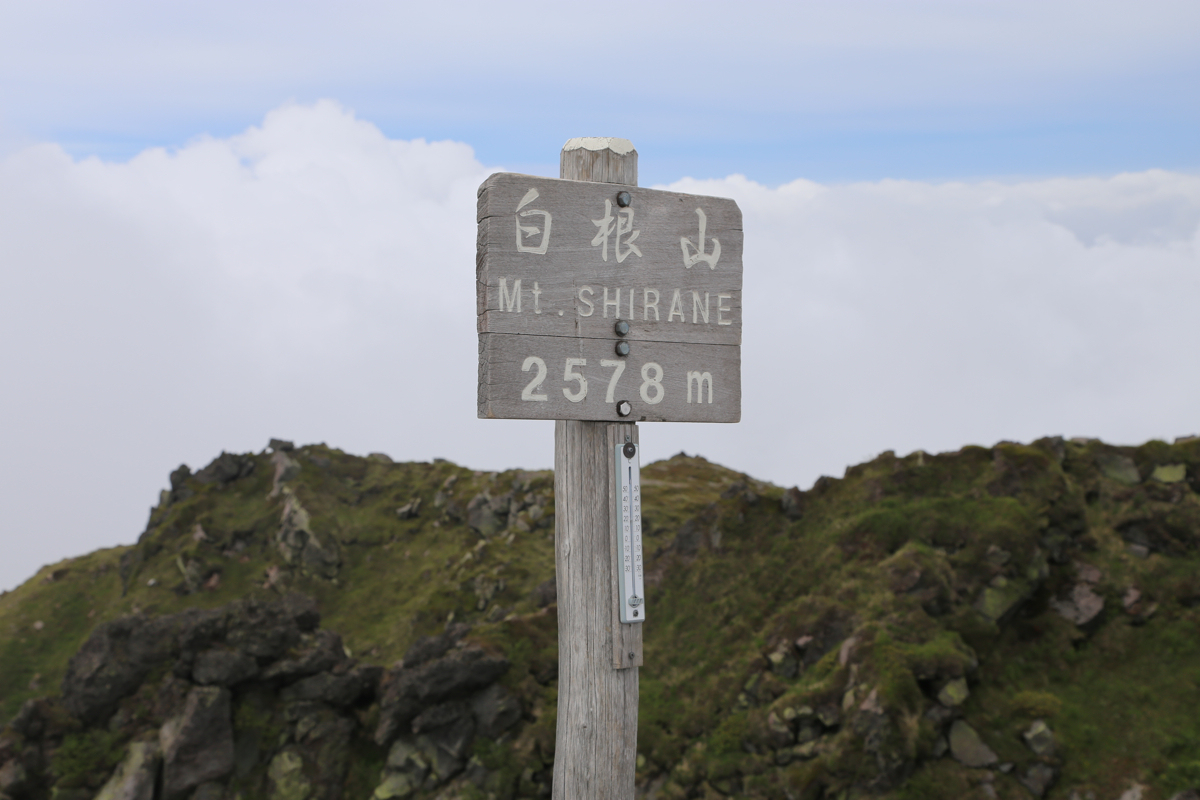
The summit is marked with a sign.
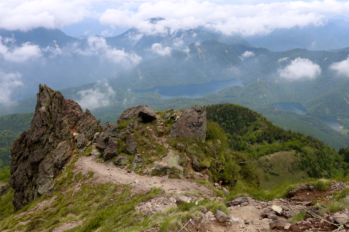
There are a few small, local tops around, one looks almost as high as the main summit.
Comments:
The evening before, we had driven across the mountain pass to the resort
area Nikko and stayed overnight at Nikko Lakeside hotel. We were not aware
of this route until that evening. Thus, the next morning we drove back across
the mountain and parked at the base of the ski area.
Taking a small, 4 person gondola up, we were at the top station shortly
after 0900. We started walking at 0910 and
arrived at the summit at 1025.
We left the summit at 1045 and walked across to
the other high point, then
proceeded along a marked trail that
descended more steeply directly downslope
such that we had a small lake down on our right hand side. This trail ended in
a 4-way trail fork at the base of the mountain. We took the left branch that
led us down a smallish valley and eventually back down to the area identified
as 5 on the local trail maps. From here, we followed our uphill route back to
the top station, arriving there at 1200 - noon.