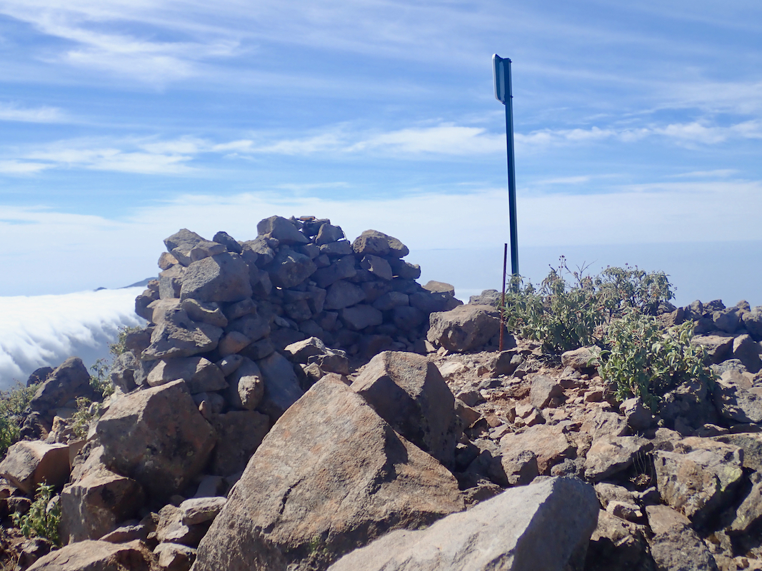
Location: North 28.70541, West 017.84531 (GPS at the summit)
Difficulty: YDS class 2
Climbed March 17. 2019.
Information:
How to get there:
Starting in Santa Cruz de la Palma, locate Hwy. LP-4 north of town and drive
this road (signed for observatory). Just before you get to kilometer marker 25,
there is a road fork. Leave the highway and go left. This is a dirt road, but
quite good for ordinary cars. Drive 1.8 kilometer to the end of the road.
There is a small parking area. This is the trailhead, location
N28.73276, W017.82882, elevation about 2030 meter.
Route description:
Take the big trail that heads uphill, initially parallel to the road you came.
Soon, there are zig-zags as the trail climbs, then a signed trailfork. Take
the left fork, this is more horizontal as it traverses the hillside in order
to connect with the main trail that runs along the crest. The two trails meet
at location N28.72660, W017.83498, elevation about 2135 meter.
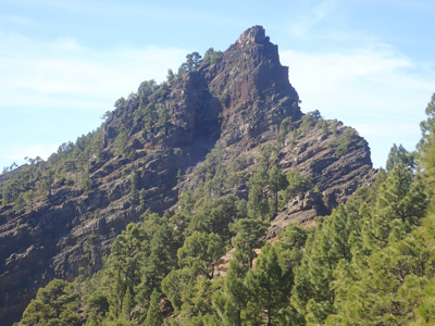
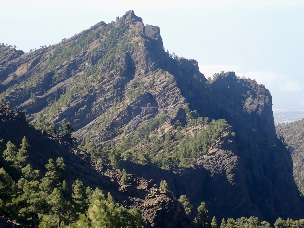
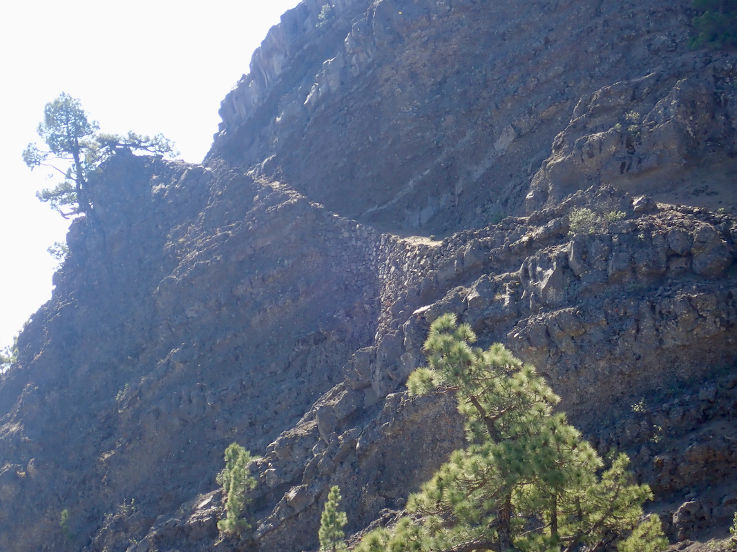
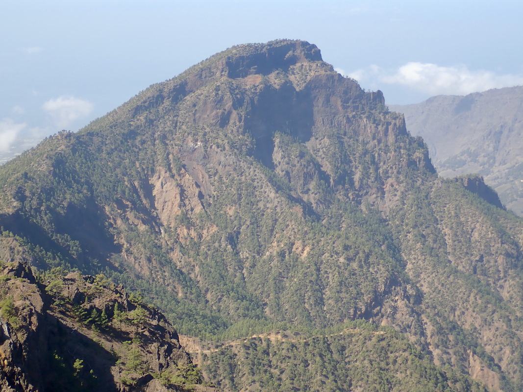
You will soon see the mountain, sort of
below, ie. one must descend to the key saddle, then
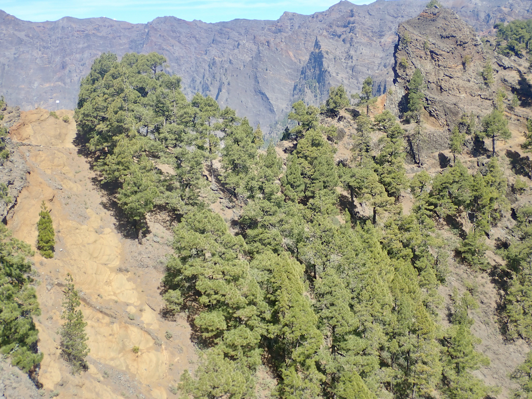
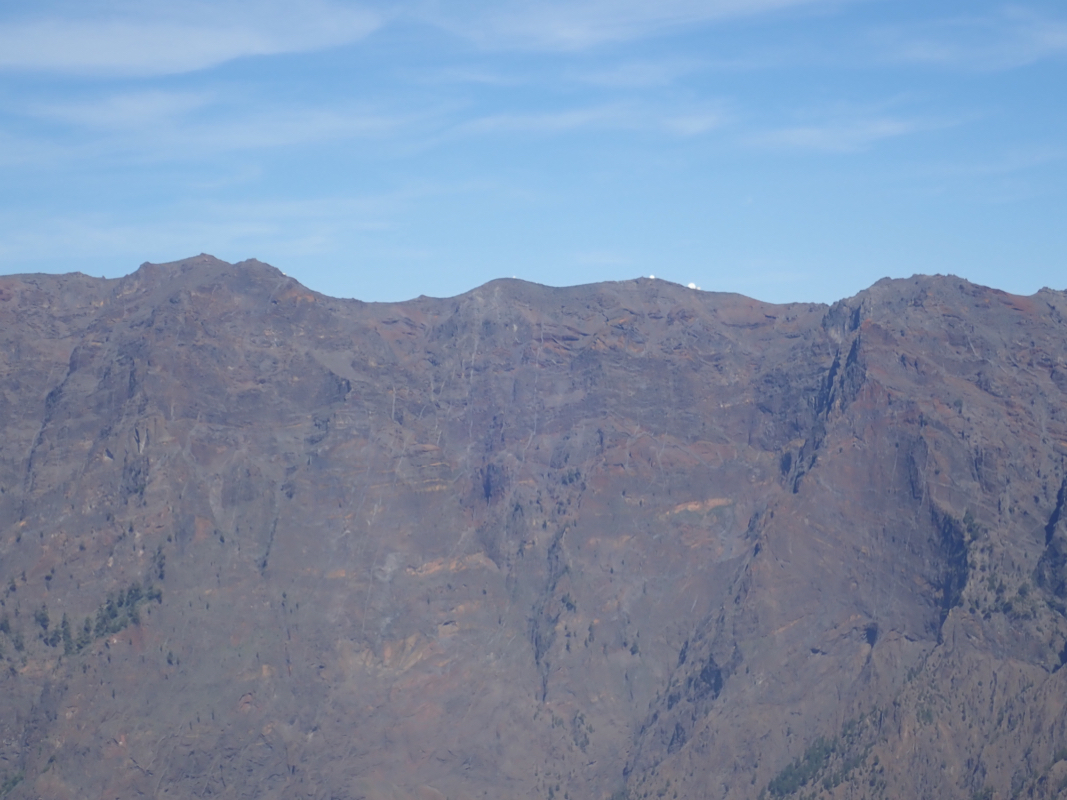
climb the peak. Along the nice scenic trail you will also
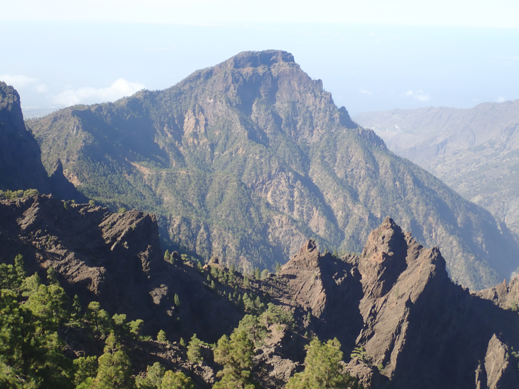
see the impressive canyon as well as
the peak Bejenado sort of in the middle.
Continue downhill (left) until you reach the key saddle for the peak at location
N28.71075, W017.84409. Next, the trail climbs making
use of natural ledges. Just before
the trail again regains the main crest, leave the trail right where you see marks
from other climbers. A short (YDS class 2) and very easy scramble will get you
to the summit. Comments:
This would be my last peak on this 5 day trip to Palma with Heidi. I left the
trailhead at 1000. The weather was very nice, however, the east coast of the
island under a blanket of clouds.
I arrived at the key saddle
of the peak about one
hour after leaving and sat on top at 1120. Very nice views in all directions.
Leaving at 1130, I was back at my car in 1:05, at 1235.