Piute Peak
- Piute Peak
- 2573 m
- Primary factor 1061 m
- California, USA.
- Location: North 35.44933, West 118.38850 (GPS on the summit.)
- Difficulty: YDS class 2+
- Climbed September 16. 2018
Piute Peak
|
|
How to get there:
Locate Walker Basin, this is served by Hwy. 483 (Caliente Bodfish Road) connecting
to Hwy. 58 (running between Bakersfield and Mojave), to the south.
Coming from the south, as soon as you reach the basin, go right on
Walker Basin Road. Follow this road until you arrive at a hilltop
(location N35.38263, W118.4115), where Piute Mountain Road (Road 501) forks left.
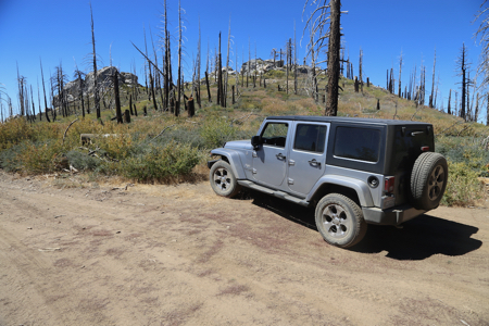
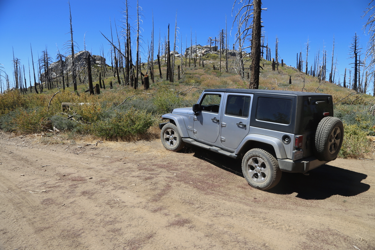
Take this road, it will lead you all the way to the mountain.
With a 4WD, this peak is therefore essentially a drive-up.
High up, near the summits, the dirt road crosses east
(to the right hand side) of Piute, however a small side-road
forks left. Follow this road a short stretch and you will
get all the way up into a shallow saddle
between the rounded
east summit and a more rocky middle summit. Park here, unless you
already parked somewhere lower down.
Route description:
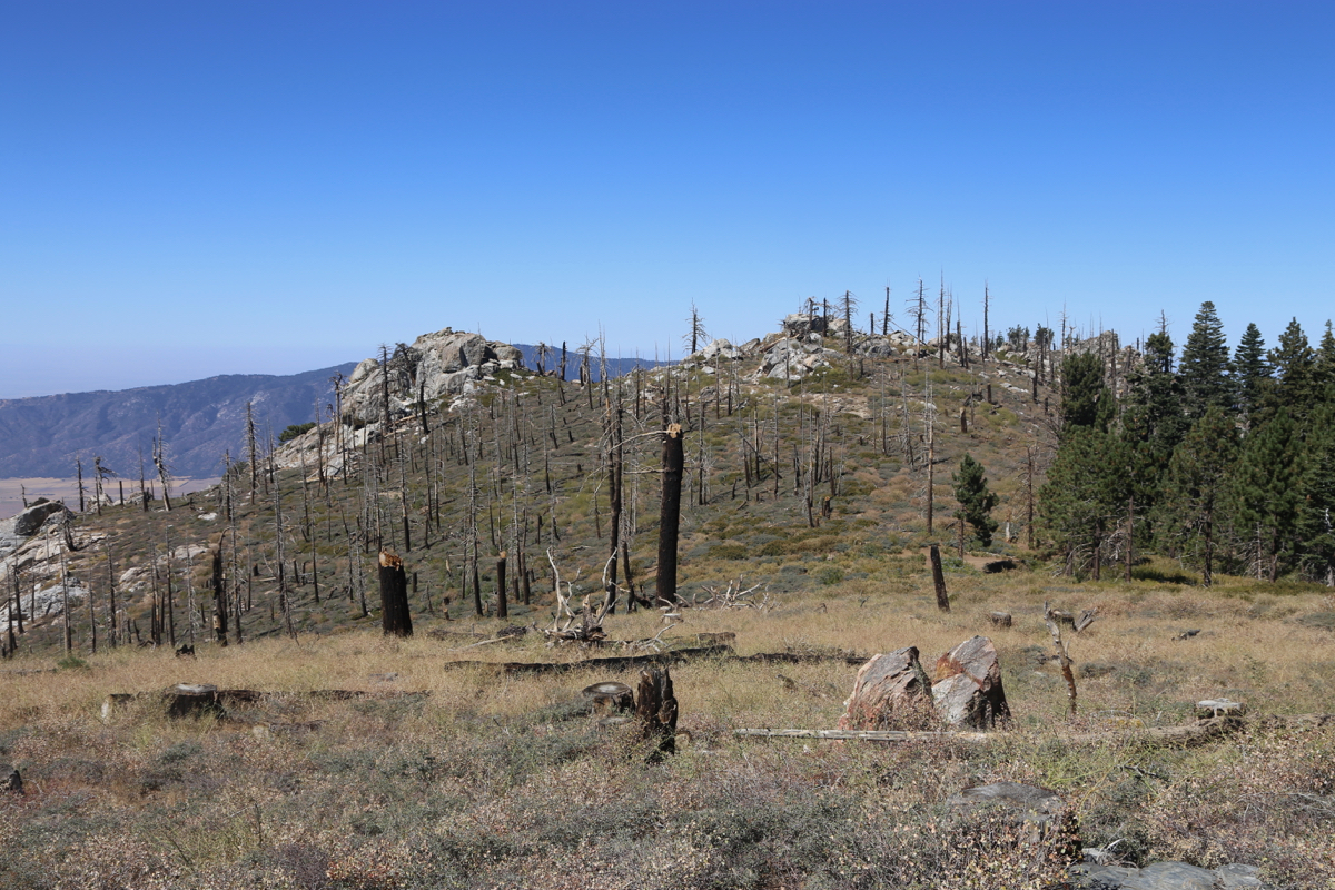
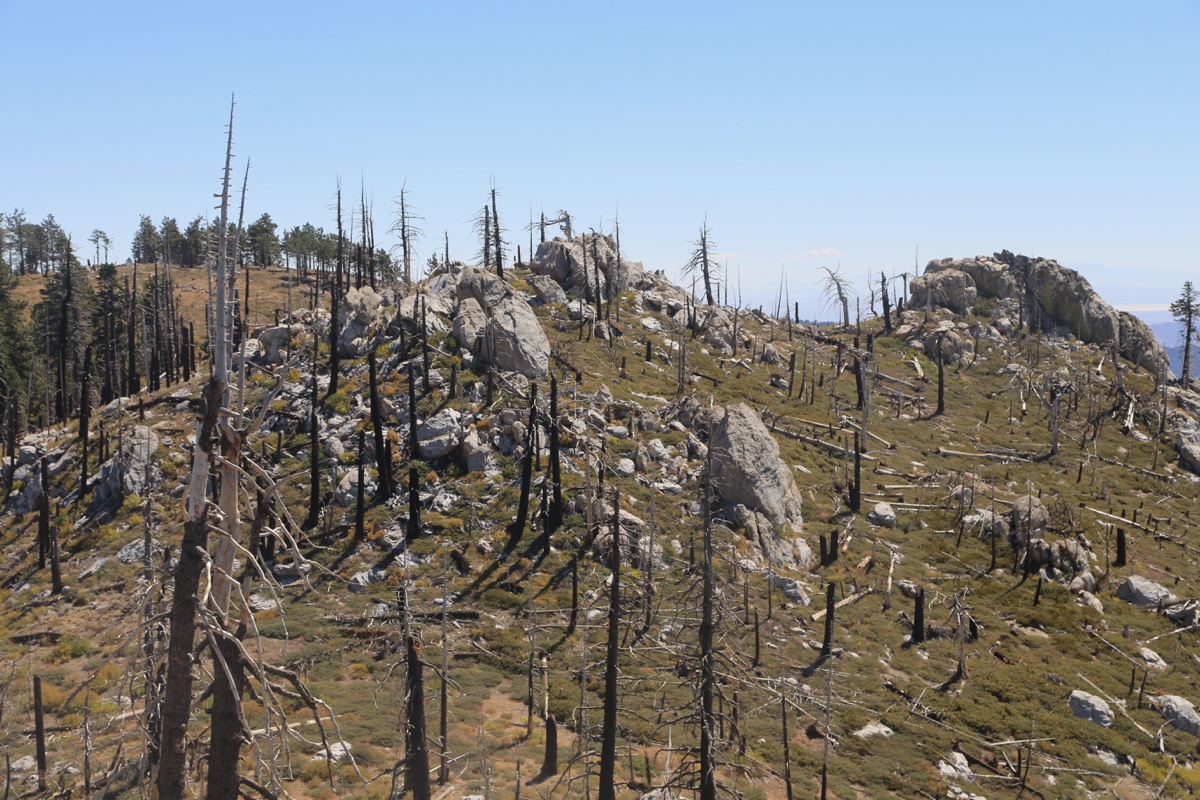
There are several competing high-points. The terrain in between
is full of unpleasant brush and
scattered rocks. It is rather
cumbersome to move between these points.
From the saddle that one may drive to, first visit the east summit.
The jeep road continues in this direction. Thus, follow the road and
lone may largely avoid the
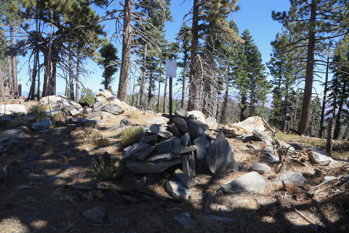
brush. This summit has a cairn as well
as a survey mark, the cairn may
not be at the highest point.
Returning to the saddle, what is often considered the highest point,
is a huge rock on top of a sloping hillside full of brush.
Make your way there and do an easy scramble to get up onto the rock.
The next top over (the west summit) again requires some
considerable bushwack, harder than
it looks given the short distance. This summit is also called Pah.
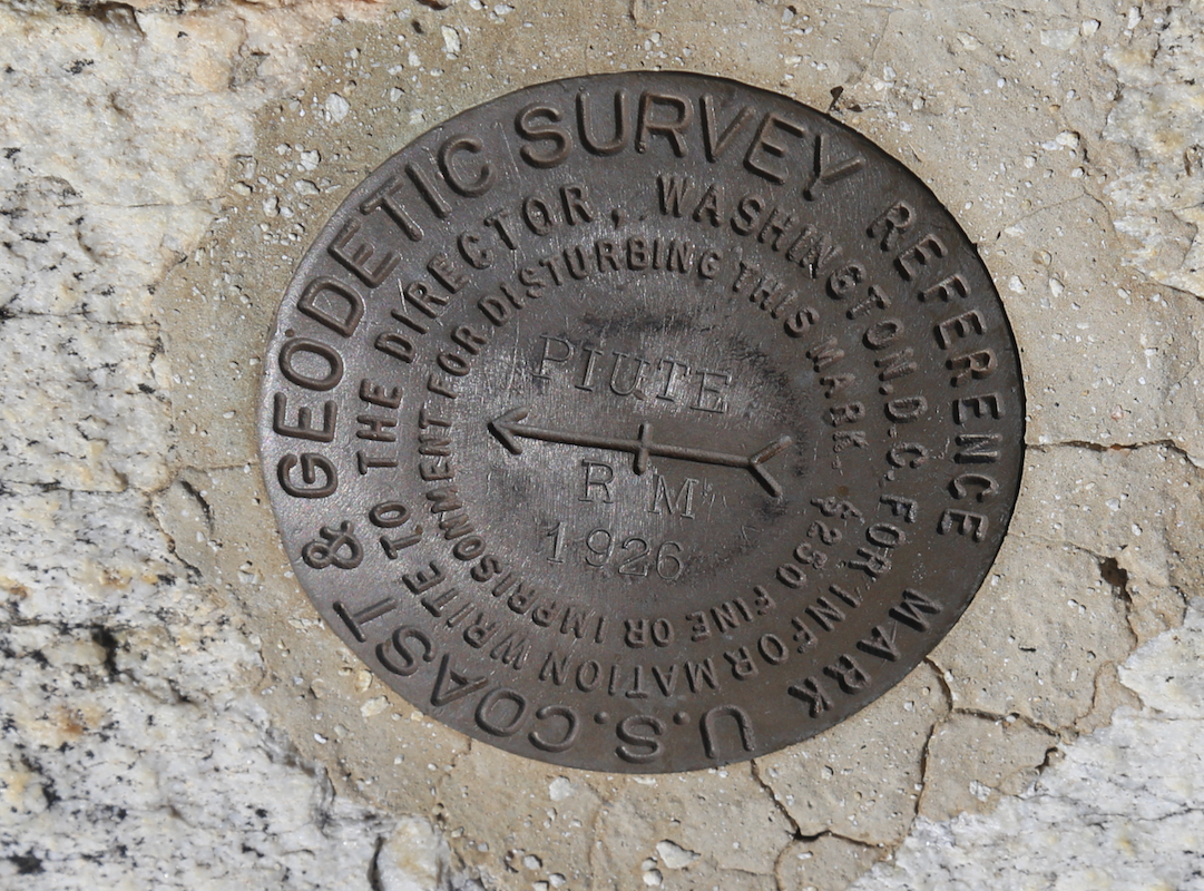
An easy scramble will get you to the top. There is an official
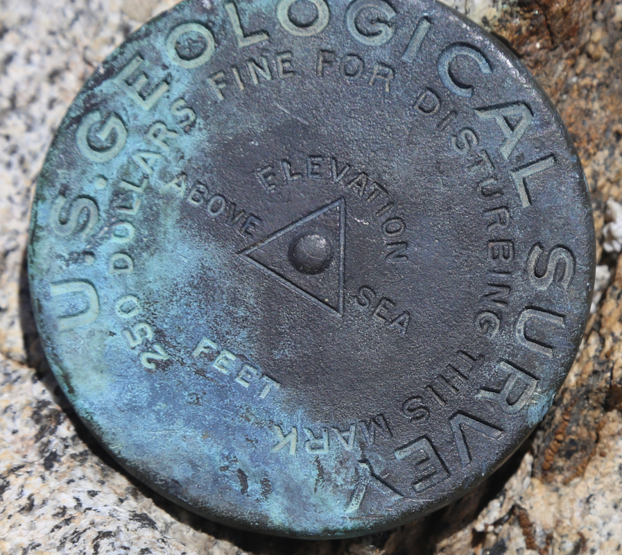
USGS survey marker
as well as a small cairn and a summit registeron the top.
It seemed pretty clear that the east summit is slightly lower, while
the middle and the west summits are close contenders for being highest.
Comments:
I had visited Breckenridge Mountain in the
morning. I then drove the last part of Breckenridge Road
leading down into the valley
below the Piute mountain.
I parked in the saddle between the two summits at 1100. Visiting the
east summit was straightforward. I next decided to put on long pants
before fighting the thorny brush.
I was on the middle summit around 1115 and after a short rest there, proceeded
to the west summit, arriving there shortly before noon.
I was back by my car around 1230.