Location: North 02.19122, East 036.81479 (GPS on the summit)
Difficulty: YDS class 1
Climbed February 4. 2020.
Information:
How to get there:
Drive north on Hwy. 77 You should get to the small town o Baragoi (location: N1.78511, E36.78733),
there are (modest) hotels and several services here. Continue on 77 to location N1.90084, E36.85127.
There is a signed road going let to Tuum here. Continue to Tuum,
you will locate a guesthouse on
your right hand side at location N02.14634, E036.77289. This is a good starting point.
Route description:
It is likely a good idea to ask the people at the guesthouse to find a local guide.
Our guide was David (the same name as on Lesamita!). He can certainly be recommended.
The route first crosses uphill in the village of Tuum,
the general direction is north-east.
You will enter a drainage and partly follow a creek. See the GPX-track posted on Peakbagger.
There is a good trail all the way. At location N02.17938, E036.80345, elevation about 2280 meter,
the trail continues, but now south of east (climbers right), to reach the edge of the
plateau at location N02.17754, E036.81143, elevation about 2660 meter.
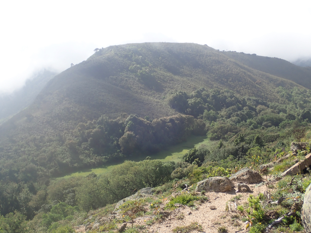
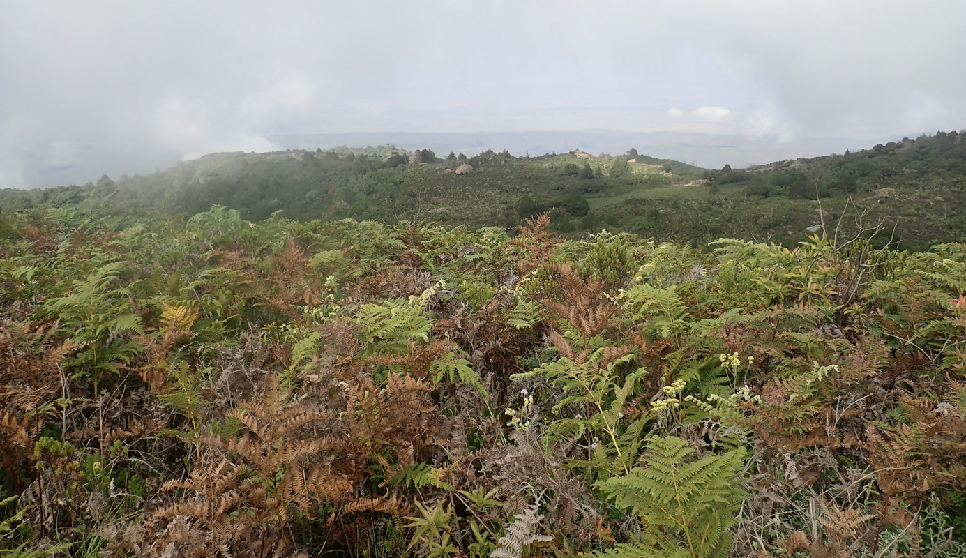
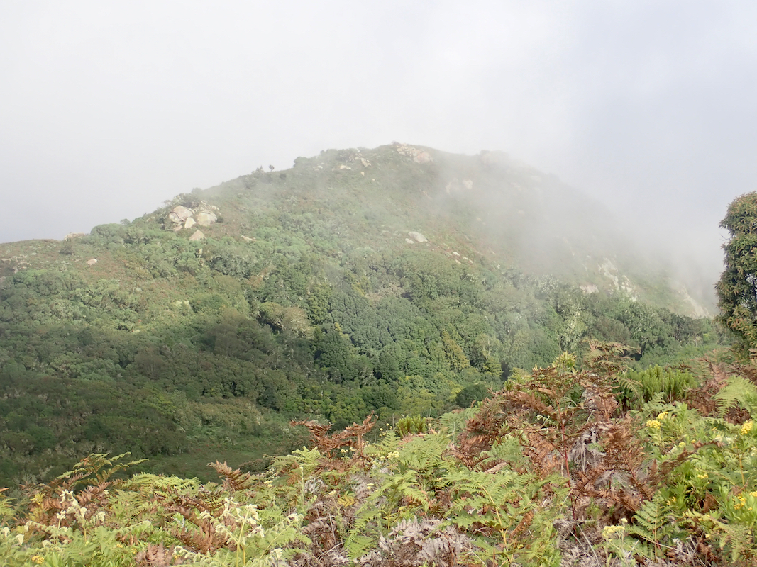
From here, the route changes character as the terrain is almost flat. The trail, going north, may be more
difficult to follow, crossing small patches of grassland, but also going through forest.
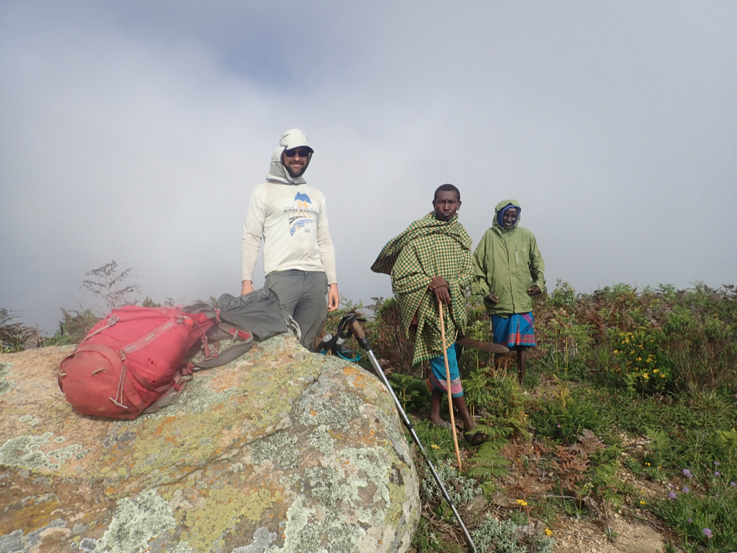
There are two competing summits, the locals (and your guide) is likely to follow the trail
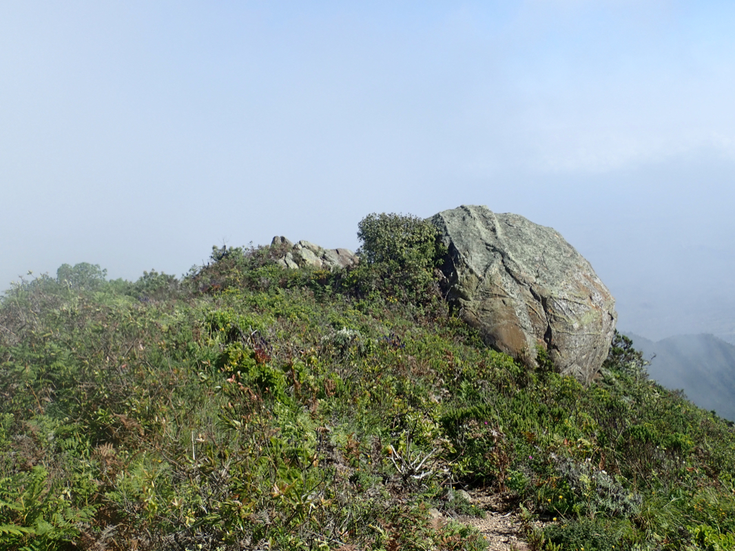
that leads to the north summit. This is a nice viewpoint and there is also a large boulder
a few meter north of the summit. However, the south summit about 650 meter away, is believed to be
slightly higher. This summit is a fairly level ridge separated from the north summit by
a saddle, perhaps about 60 meter below the summits. One should visit both summits, no big
detour at all.
Comments:
The previous part of this report can be found at Poror.
We had been driving north on Hwy. 77 most of the day. Highly varibale road quality, the general
trend that the road got worse as we travelled more north.
We arrived in Tuum shortly before sunset, this is Samburu land, the first several people we
tried talking too, did not reply in English.
Still, it did not take much time before we found a woman that spoke a bit of English. She showed
us the guesthouse and alerted David, he would serve as guide the next morning.
We drove to the guesthouse, they had a big gate and a closed courtyard that would safeguard
our car. There was a minor problem, nobody could find the key to the gate lock.
This issue was solved by brute force, a hacksaw cut the lock after 15 minutes of work.
David showed up and we agreed to start at 0600 the next morning. We slept well and set off with
headlamps as planned. A short break for water at the 2280m waypoint, then another break at 0825 as
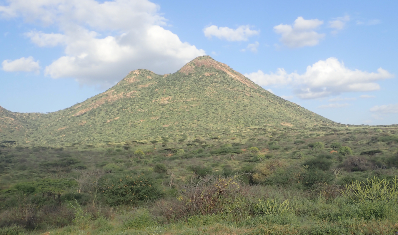
we reached the edge of the plateau. Good view from here. An easy stroll following the trails that
David knew, brought us to the north summit at
0910. This was the summit David expected us to accept. Nice view,
we also explored the big boulder
nearby. We pointed across to what we believed would be
the highest summit and David had no
objections to also going there. Arriving at 0940, our GPS seemed to agree with the
map, showing the elevation to be 3-4 meter higher.
We spent about 15 minutes on top, similar to our
visit at the north summit, before starting
back down, The descent took 2:35 and we were back at the guesthouse at
1230. We said goodbye to the friendly people of Tuum, then started driving around 1300.
Our goal would be to reach the village Loiyangalani on the east side of the big
lake Turkana. From there the plan was to climb Kulal.
We drove back to the main Hwy. 77, turned north, hoping to get there before dark. However, the road
was bad and quickly got worse. By 1600, we were only in South Horr - and the road was Horr-ible!
The speed of driving was not much faster than walking and we realized that it would take many, many
hours to reach Loiyangalani. Also, the only way to continue our expedition would be to drive back this
same way. Altogether, this implied that we, with very high probability, would have to skip at least
one of the later mountains on our list, in order to stay on schedule and return from Nairobi on
February 18th. We stopped and considered the options. It seemed that our best bet would be to simply
skip Kulal and thus maximize our chances for the remaining peaks.
Having reached a decision, we turned the car around
and began driving the same bad road south. Our plan
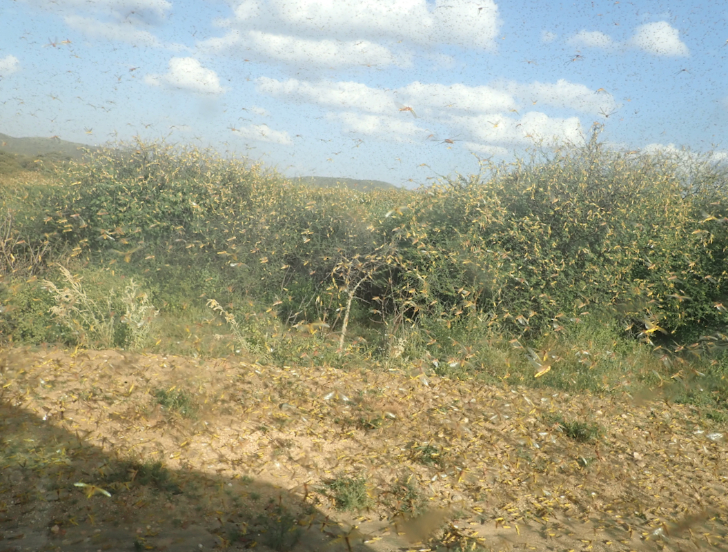
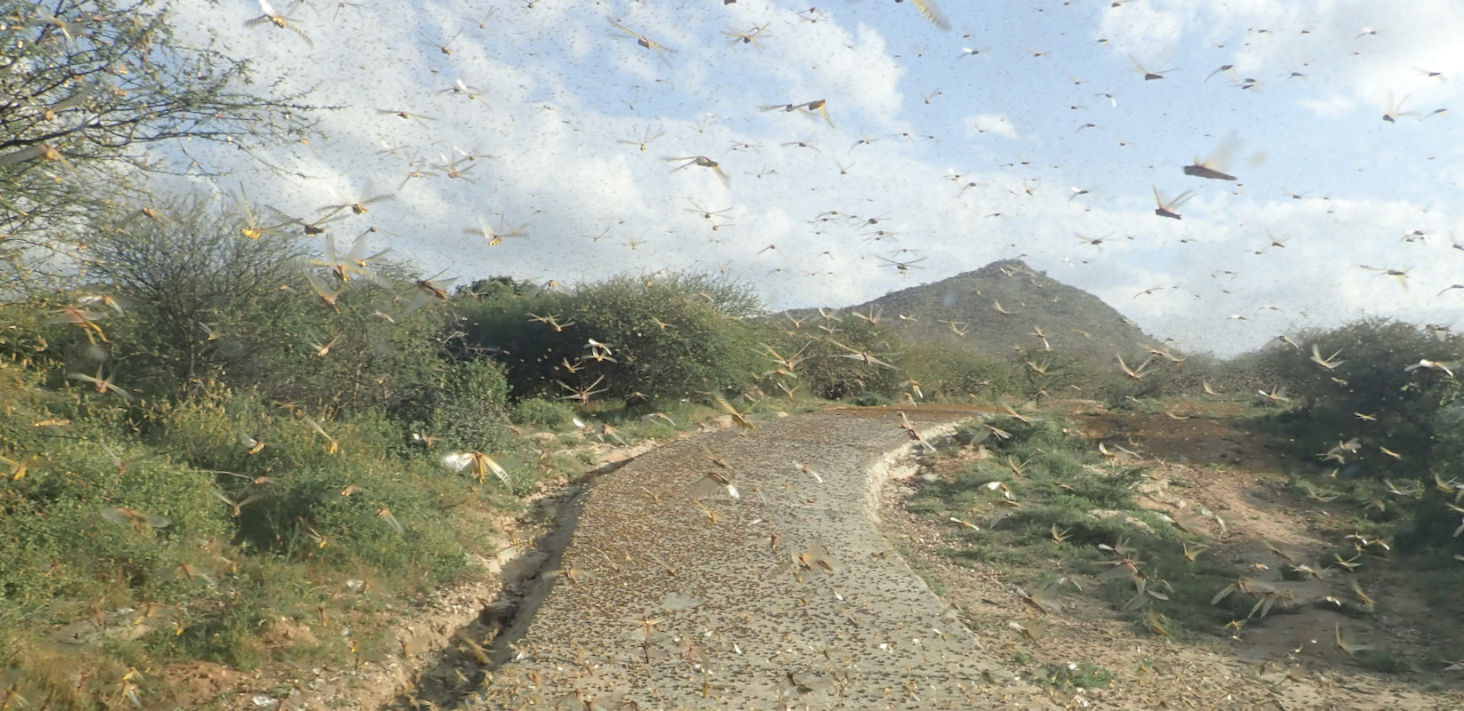
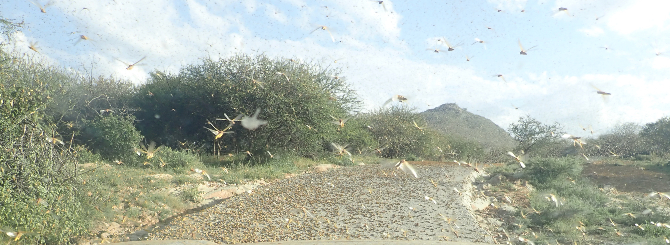
was to reach Baragoi and spend the night there. Driving south, we suddenly observed a dense cloud that
quickly closed in. This was a big swarm of Loctus!
They descended on the road in front of us and completely
filled the air around us.
Quite an experience, I have never seen anything similar. A single swarm can
be 80 millon loctus, eating the equivalent of food for 35.000 people each day.
We made it to Baragoi just as it got dark and found a good place to stay, even a cold beer!
The next part of this trip report is Kaisungur.
