Location: North 39.66924, West 105.21974 (GPS at the summit)
Difficulty: YDS class 2
Climbed November 17. 2017.
Information:
How to get there:
From Denver,
drive on I 70 Westbound.
Take exit 259 toward Jefferson County 93 / Morrison.
Turn left onto County Road 93.
Follow signs to red Rocks Amphitheater on W Alameda Pkwy.
Locate Red Rocks Amphitheater Entrance # 4. There is a small
area to park right next to the entrance sign. This is location
N39.65356, W105.20192, elevation about 1800 meter.
Route description:
Walk a few meters up the road, then locate a trail that exits to the left.
Follow this trail up the face of the hill to gain a flat area that connects to
more uphill, then the south ridge of Morrison. The trail is easy to follow and
ascends gradually. At the very end, quite near the summit, the trail gets steeper
and forks into a few alternate variants. Several of these will require some
very easy scrambling, (YDS) class 2.
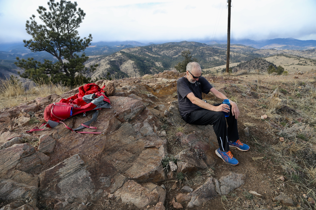
The top has a small metal bolt marking the official high point.
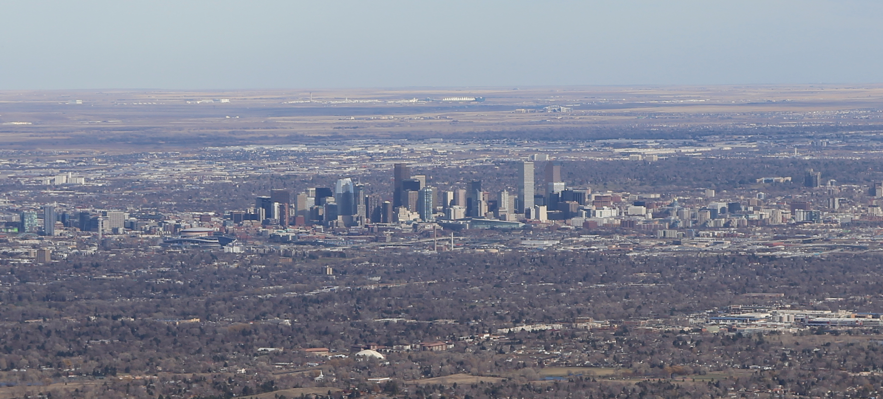
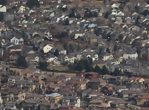
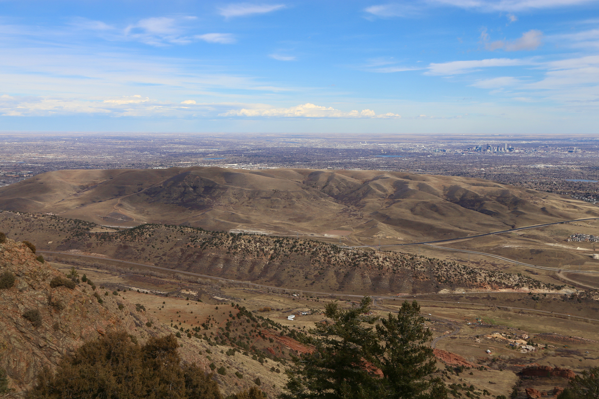
The summit has a very good view of downtown Denver
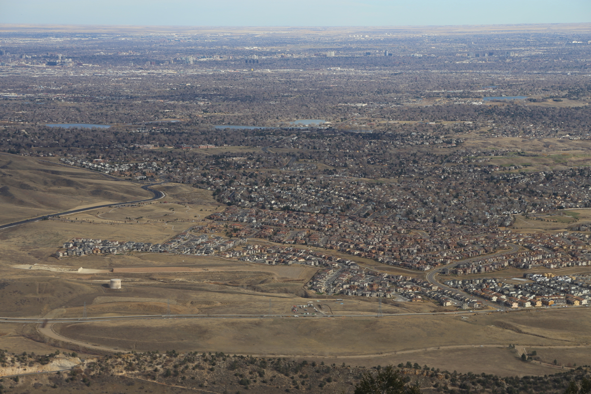
as well as the
extensive housing areas of Lakewood.
Comments:
I did this hike with Sverre, my very good friend that lives in Lakewood.
We started at 1200 and made the summit
at 1300, so one hour up. The weather was
nice and the views very good all around.
Besides Denver, we had a good look back down
to Sverre's house.
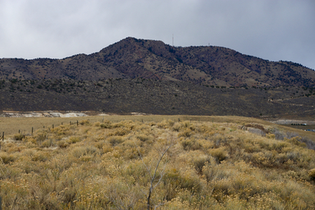
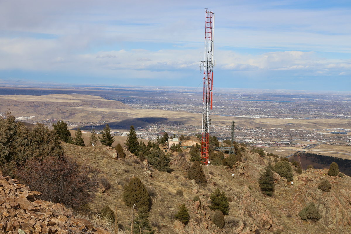
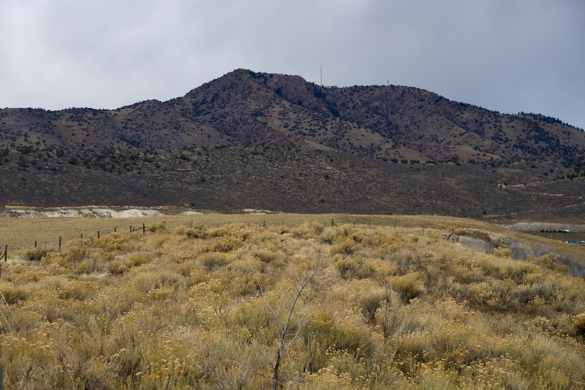
Further north at a slightly lower
elevation, was an antenna.
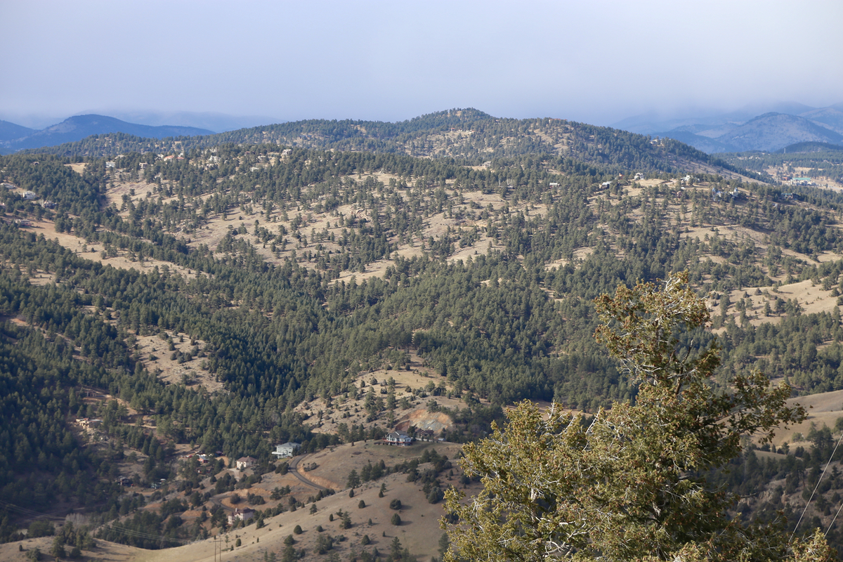
Further inland, we could see the
closest higher mountain, called Genesee.
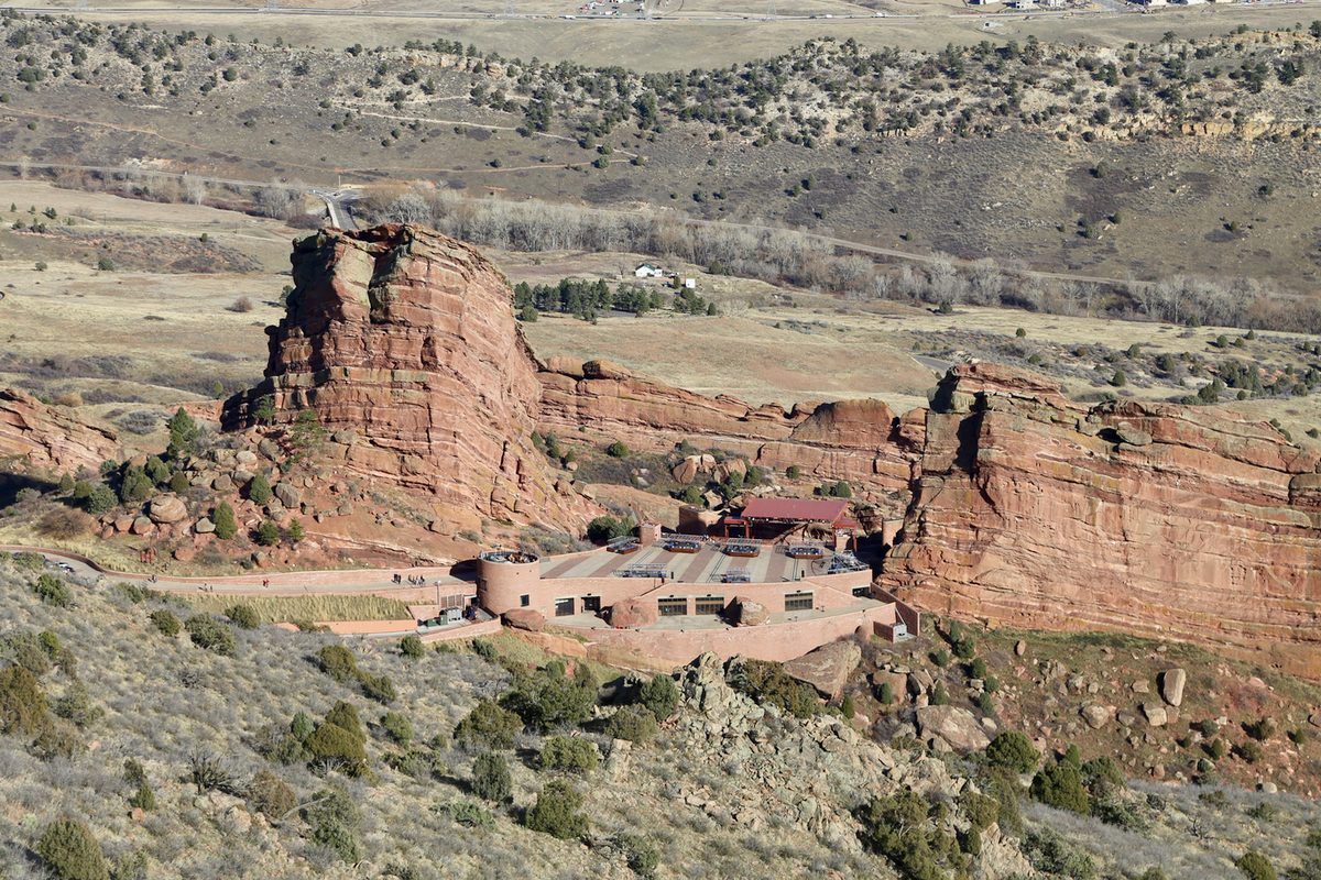
We descended at 1320. As soon as we got onto the steer hill, there is a nice
view down to the Red Rocks Amphitheatre.
This is a famous, large outdoor concert arena
built among the rocks. The descent was nice and we reached our Sverre's car by 1425.