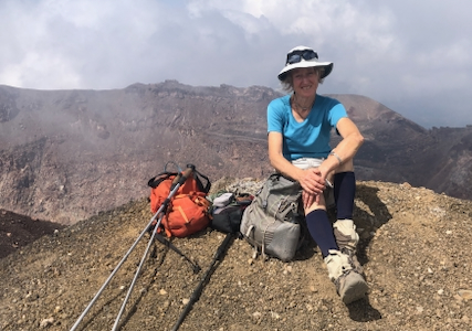
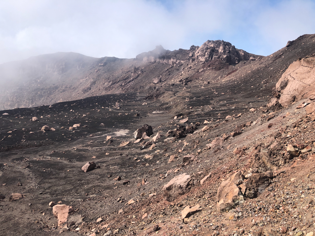
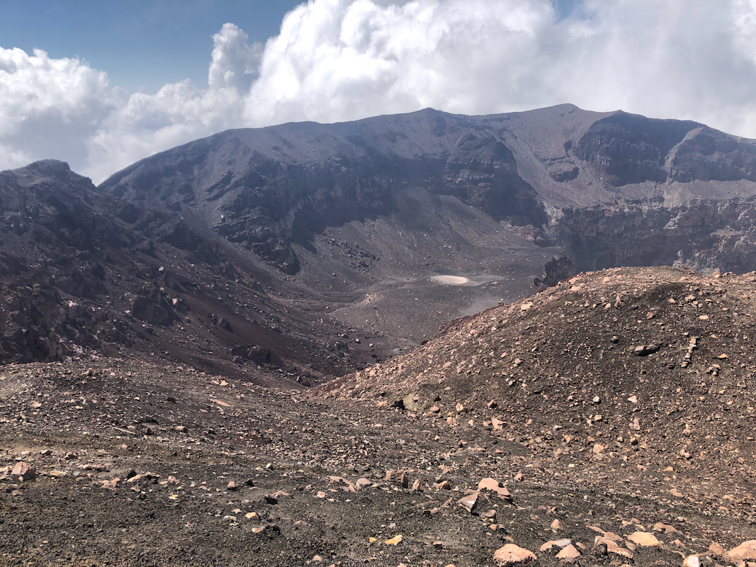
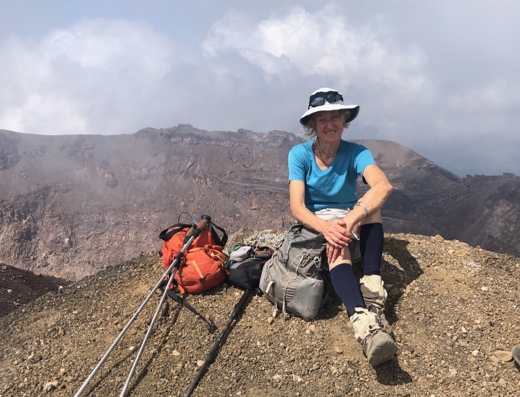
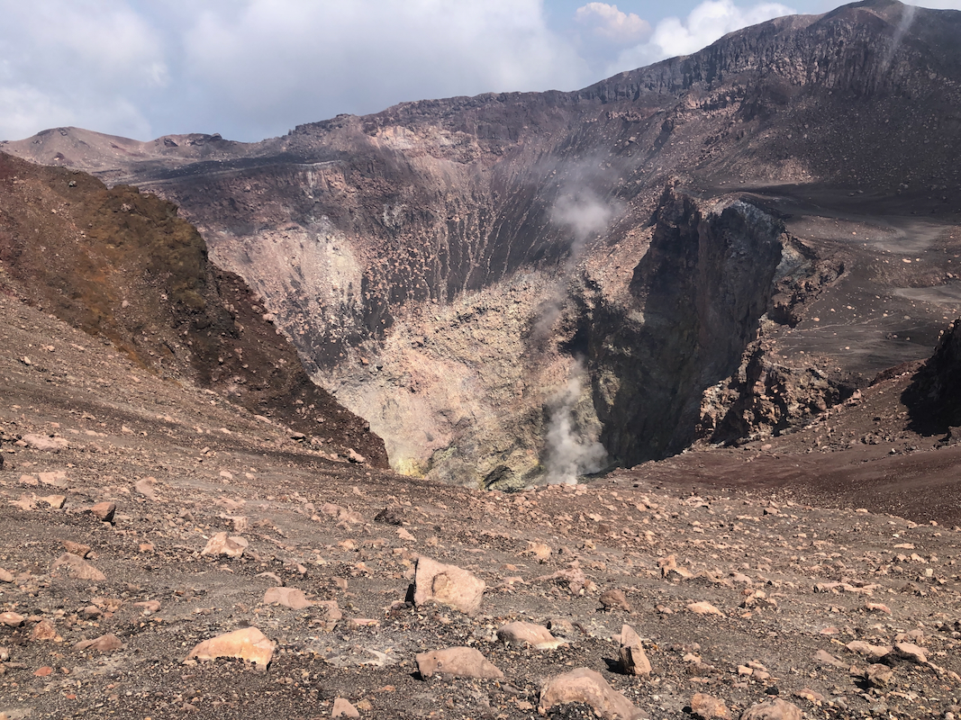
How to get there:
This mountain is located south-east in El Salvador, west of the
town having the same name.
We approached this mountain from the north-west side, using a 4WD road
that started at location 13.45438, W88.29630, elevation about 850 meter.
We drove this quite rough road up to location N13.44502, W88.28281, elevation
near 1260 meter.
A quick summary of the peaks climbed in Central America.
Route::
The road continues uphill, then turns into a trail. There appears to
be a couple of options. The best route traverses left (go left at a fork) shortly
after leaving the trees. The route climbs into a large gully where one largely
walks on rocks, thus avoiding the scree. This route hits the crater rim near its lowest
point at location N13.43411, W88.27427. The elevation here is just above 2000 meter.
Proceed to the left, ie. start along the crater rim in a clock-wise fashion.
Follow the trail, it mainly runs directly along the highest rim. The summit is the
first obvious high point along the rim.
Comments:
We left already at 0400, quite an early departure.
Hiking started shortly after 0730,
the rim was reached
at 0930 and I arrived on top at 0945. Good views.
We had a long break
before Darren and I continued in order to make a complete rim
traverse while Adam and Kathy returned the same way.
Nice looks into the crater,
sulphur steam coming up.
We later
reunited where the uphill trail made the crater rim. All the guides
had stopped a bit before reaching the rim, citing they were tired.
It turned out that there is a very nice scree route very suitable
for descending. It ends (looking downhill) to the right of the uphill
route. A small, but pretty obvious trail will take you across a
gully in order to join the uphill trail.
We were all down by the truck shortly after 1200.