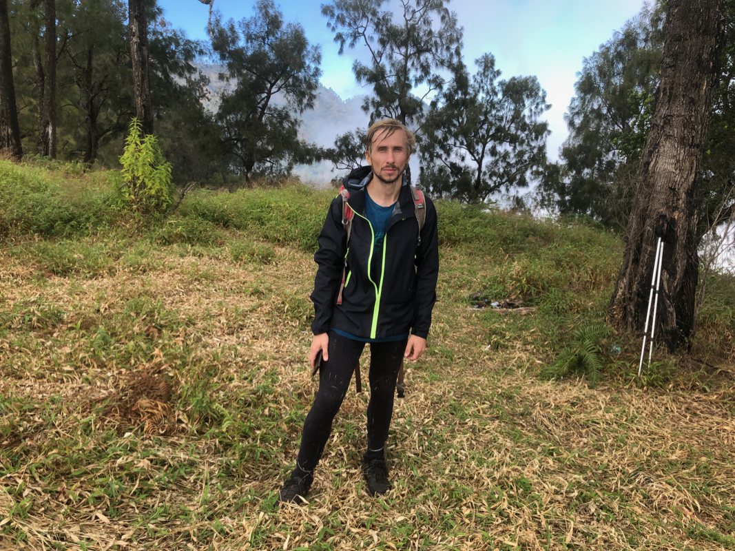
Gunung Liman (Mount Wilis)
- Gunung Liman (Mount Wilis)
- 2563 m
- Primary factor 2130 m
- Java, Indonesia.
- Location: South 07.81378, East 111.76011 (GPS at the summit)
- Difficulty: YDS class 2
- Climbed July 30. 2019
Gunung Liman (Mount Wilis)
|
|
How to get there:
This excellent web-site on climbing
Indonesia peaks should always be consulted.
From the city of Madiun, take the road south-east
to the village of Kare (about 20 kilometer).
From Kare, it may be best to continue by ojek (motor-bike).
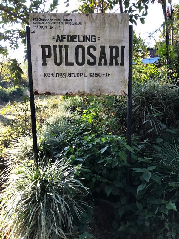
From here, you should continue to the very small community called Pulosari.
The road continues to be paved in the beginning,
but soon becomes very rough.
Pulosari is located at S07.77916, E111.71672, elevation about 1250 meter. This is
the trailhead.
Here is a summary and quick reference to the climbs on this trip.
Route description:
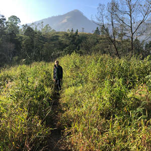
From the Pulosari sign, head uphill, first between a few buildings. You are already
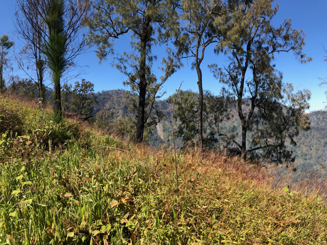
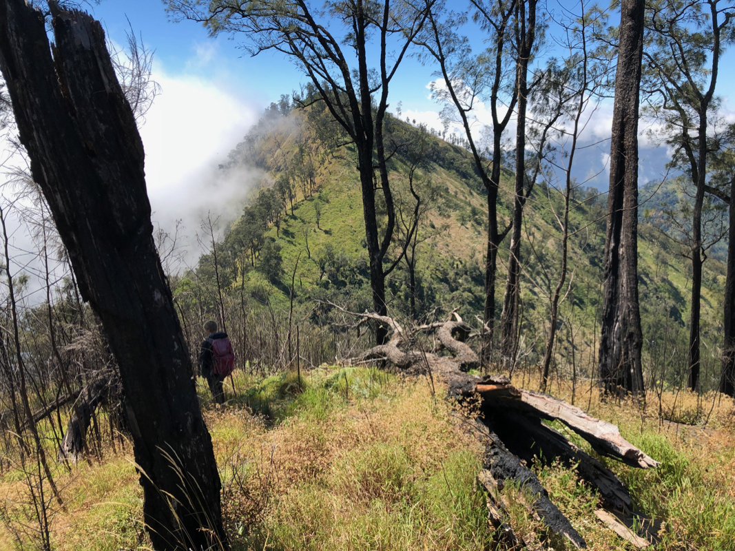
on the lower, broad section of a ridge that you will follow all day.
A very nice path ascends gently up this lower part of the ridge. You will arrive
at a trail junction where a small Puncak sign points right. Turn sharply right here
in order to properly ascend near
the top of the ridge. You will see that the ridge
becomes more well defined as
well as considerably steeper ahead.
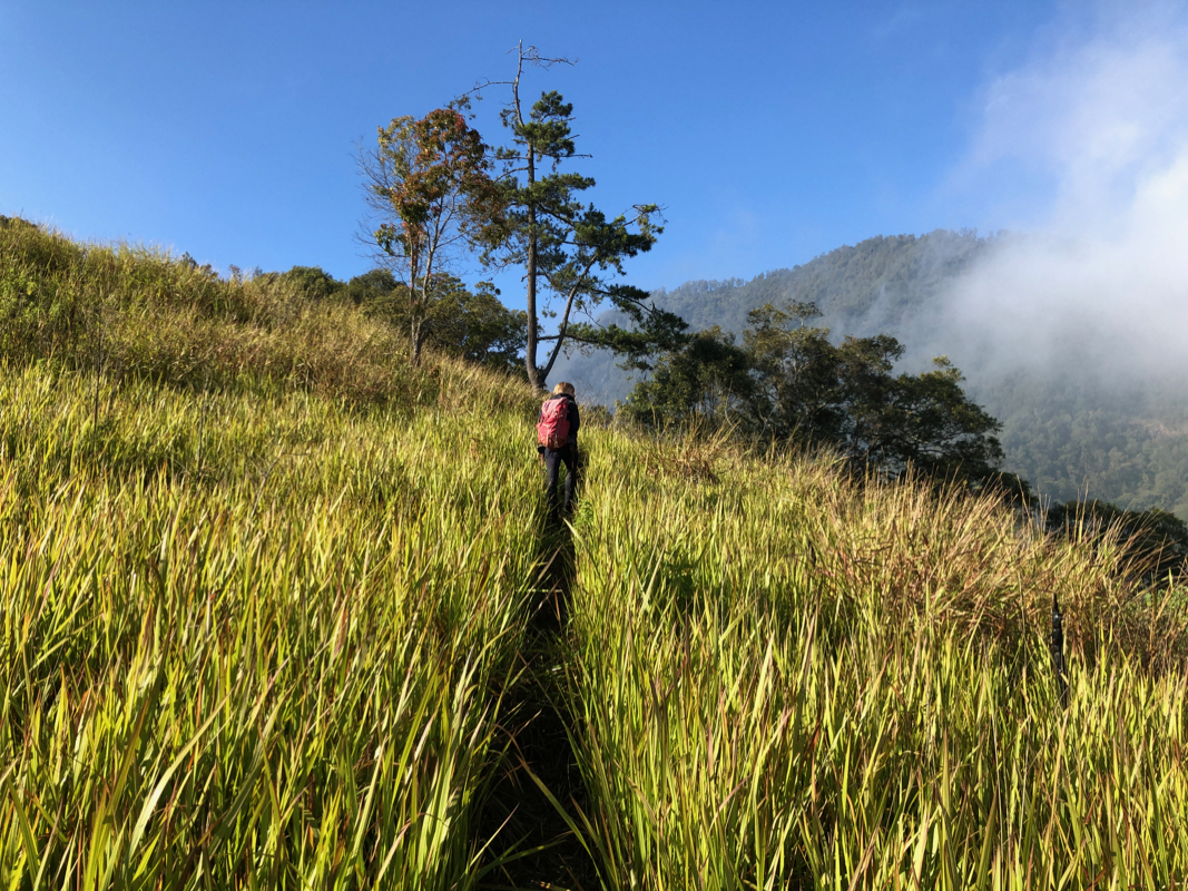
The trail will descend slightly, enter some forest and climb in zig-zags
until it again emerges on the grassy ridge that continues uphill.
The trail may be a bit more difficult here due to the tall grass, however
it is never hard to follow. After gaining considerable elevation, there is
a final, steepish section where the trail may be somewhat difficult to follow
(head uphill following a path of least resistance), you gtop out on a flat
spot that has been used for camping.
This location is at S07.79607, E111.74812,
elevation near 2200 meter.
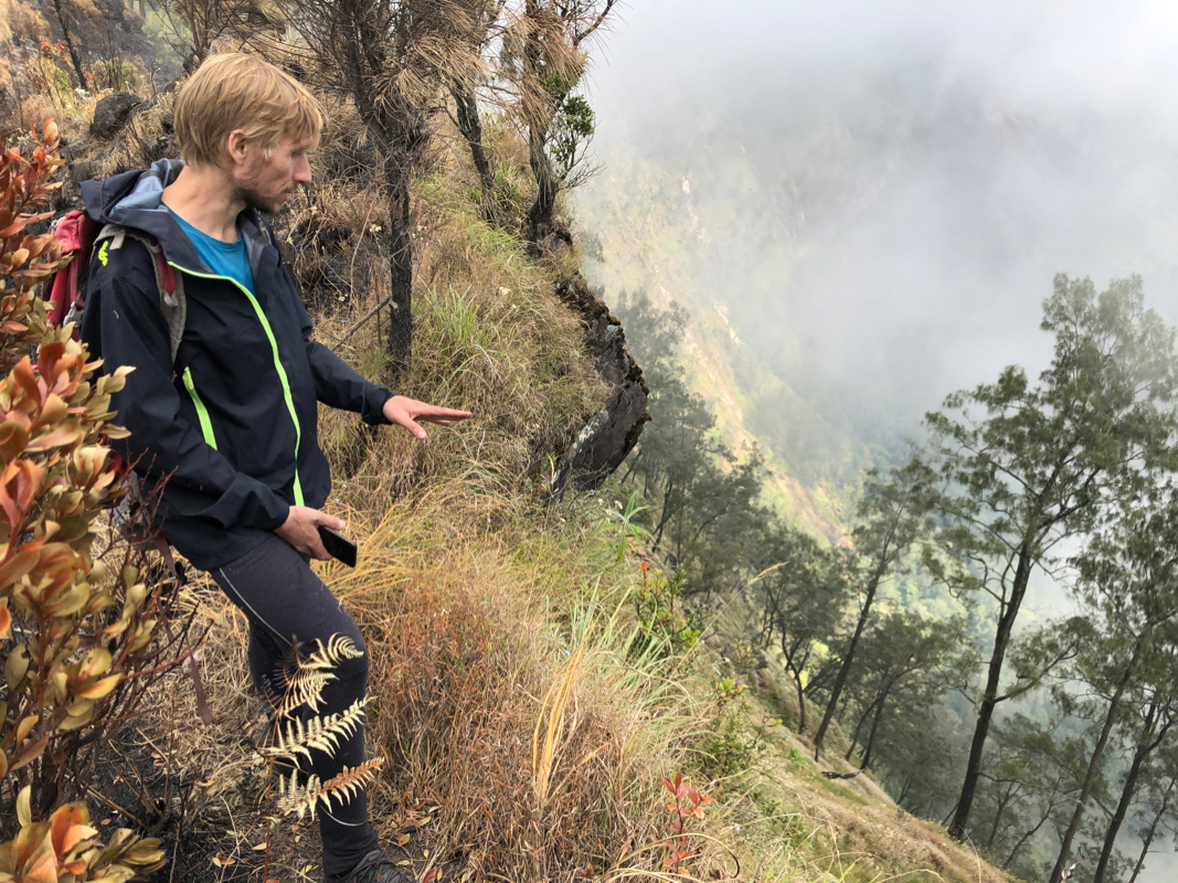
The ridge is now very well defined, from 5 to 10 meter
wide with steep drops
on either side. Continue uphill, you will reach a
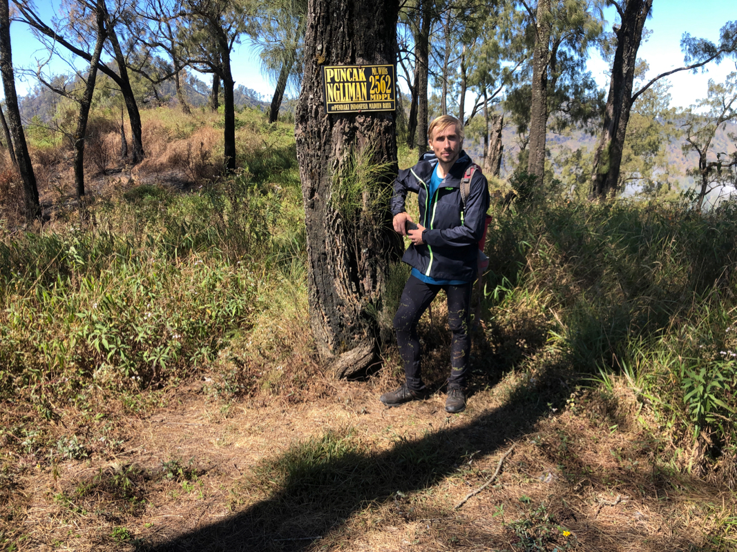
spot with a sign saying 2562 meter,
but the correct elevation is about 100 meter less.
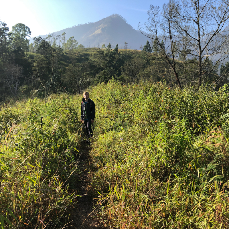
The trail continues along the ridge, crossing a few small humps, but generally ascending until
reaching the Liman North Peak.
Before reaching this peak one may look right
and see the competing summits across, since the
ridge forms a big arch turning right.
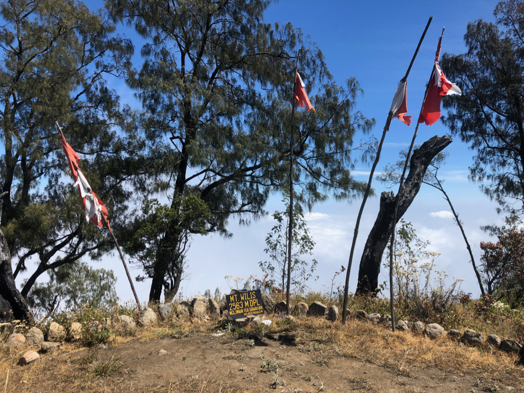
This summit has a nicely made summit plateau
decorated with flags,
there are two elaborate sets of stairs made from rocks that serve as entry points.
Some considerable work has been carried out at some point in time.
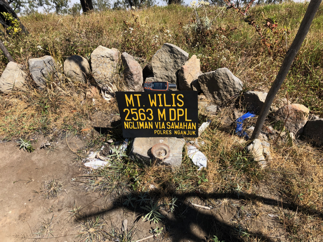
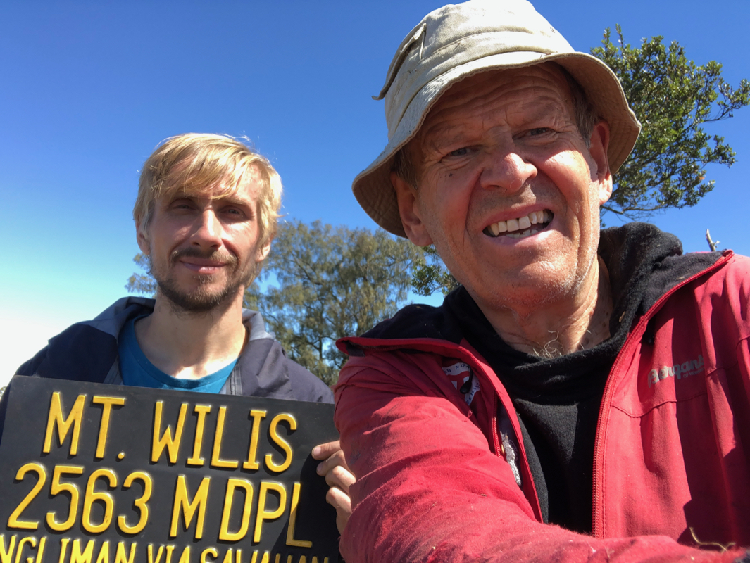
Finally, there is a metal sign
announcing that this summit is called Mt. Wilis and that
the elevation is 2563 meter.
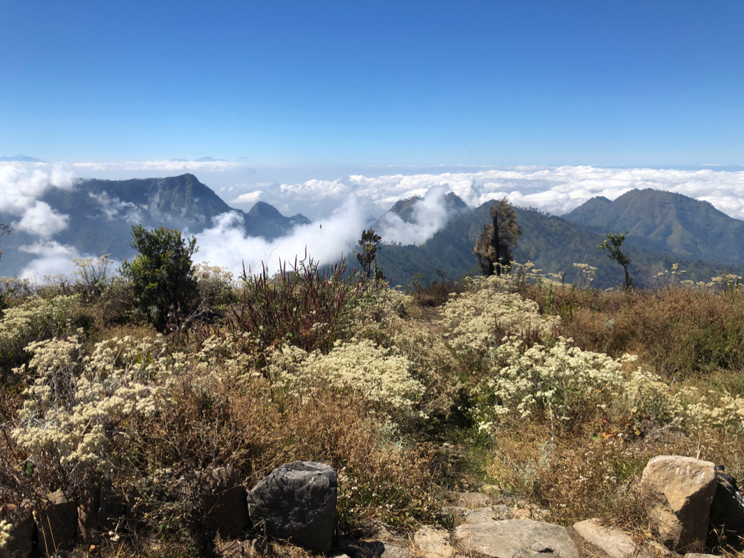
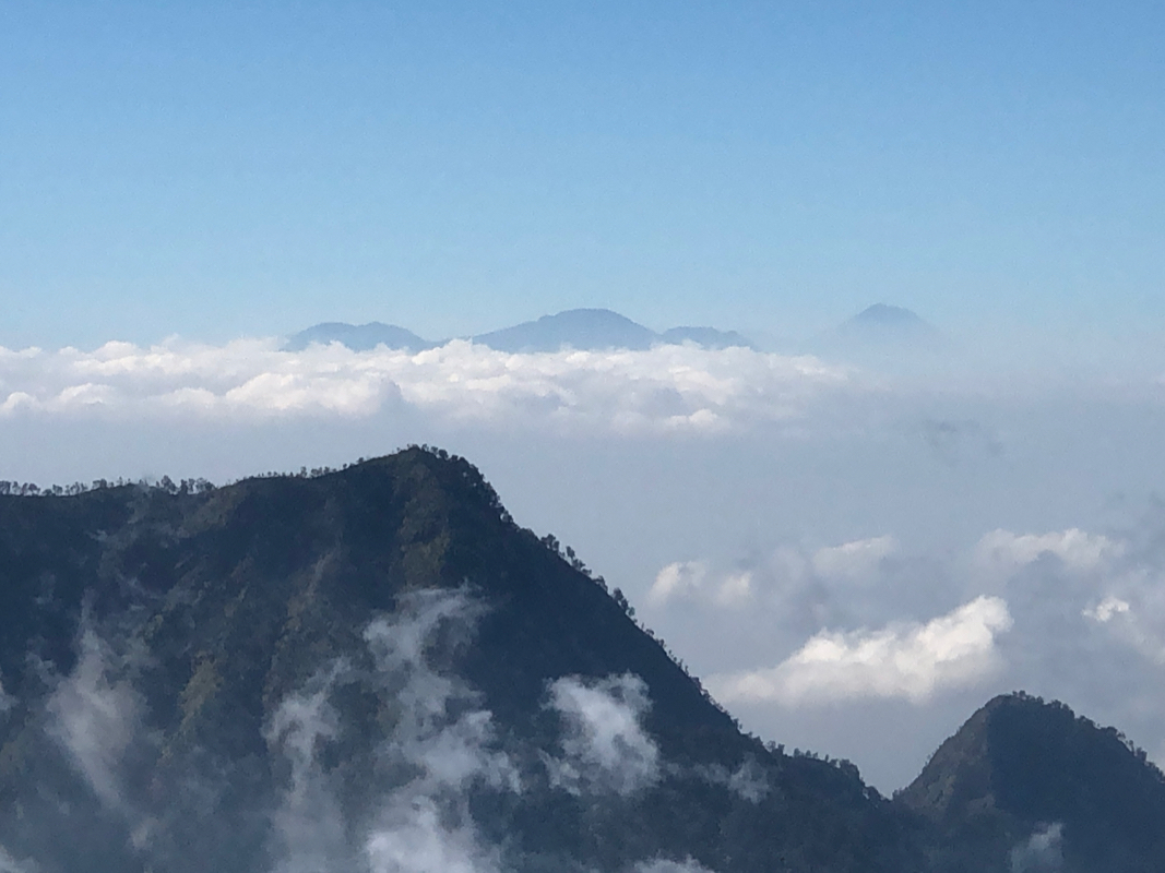
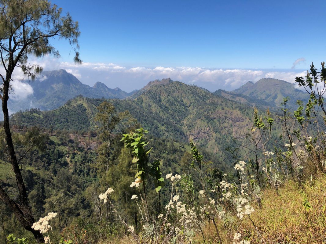
The views to several more tops
in the Wilis range are also nice from
this location.
Note:
If one continues along the ridge, there are two more summits
that compete with this first summit to be the highest point in the range.
The last of these, Liman South Summit is separeted by a col 100 meter
lower than the summit.
Comments:
We left the hotel in Madiun at 0500 and arrived at Pulosari around 0715. This is a very small
place and the location/name may even be unknown to quite a few living below in the village of Kare.
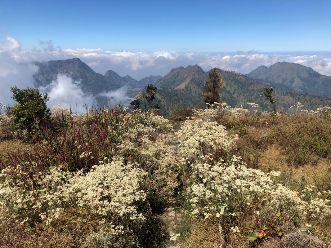
We started out shortly before 0730 and truly enjoyed the good weather and the nice scenery as we
ascended up the ridge. We kept a pretty good pace and arrived
at the North summit already
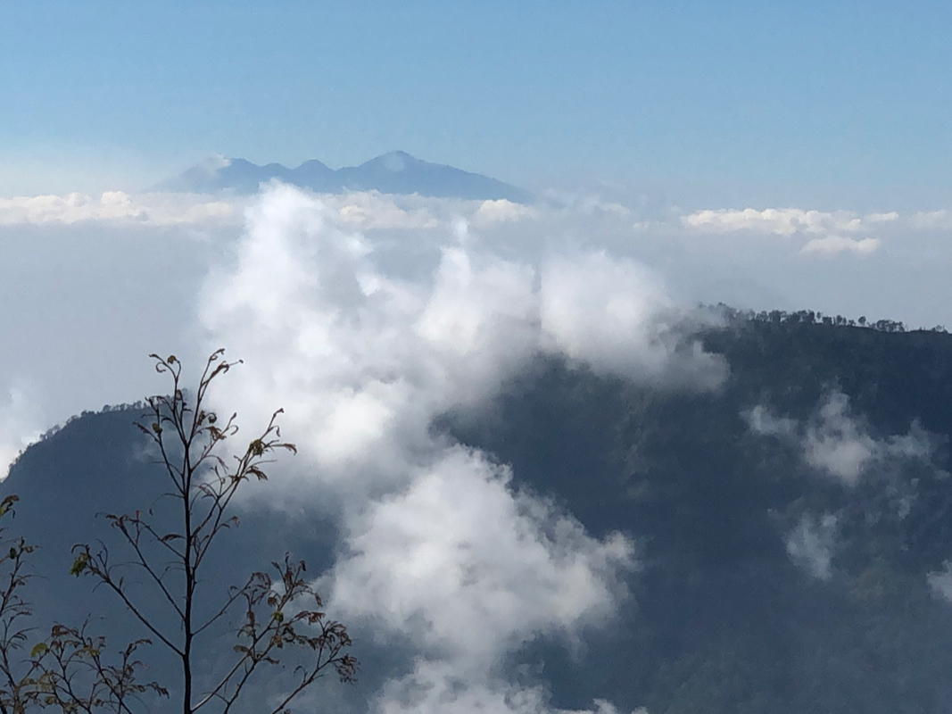
after 2:45. A rest was called for and the view from this summit is well worth a stop.
We could see Arjuno
as well as Butak with Semeru behind on the right hand side.
The clouds were drifting around, but generally below us.
The summit area is surprisingly well developed.
There are carefully made stone steps, flag decoration
and a summit area that has a park like image.
The view also to the nearby summits and numerous
connecting ridges, is very fine and different
from most Indonesian summit views (volcano views).
We continued
after about 15 minutes in order to also visit
and explore the next two summits along
the ridge. The trail continued, but was small enough to require attention otherwise easy to loose.
The middle summit measured almost the same elevation, the difference too small to say anything
based on the GPS readings.
The next col was deeper and deep enough to assign 100 meter of prominence to the peak that is
not the ultra. We ascended the south peak on fairly
easy terrain and located the highest point
near a tree, otherwise this summit point lacks the view of the north summit.
GPS measurements again were inconclusive. I calibrated my GPS using satelite data only on both
the north and the south summit, the reading was 2560 both places.
We turned back around 1145 and
decided on having a new break at the north summit after arriving
back around 1245. Mykhailo studied the system of ridges,
a very tempting project being a complete
traverse across from the other side.
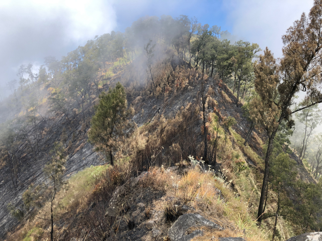
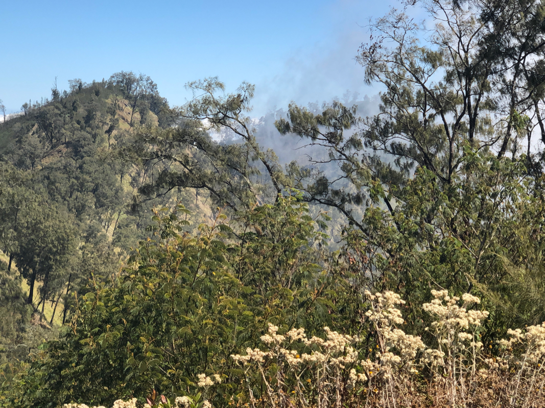
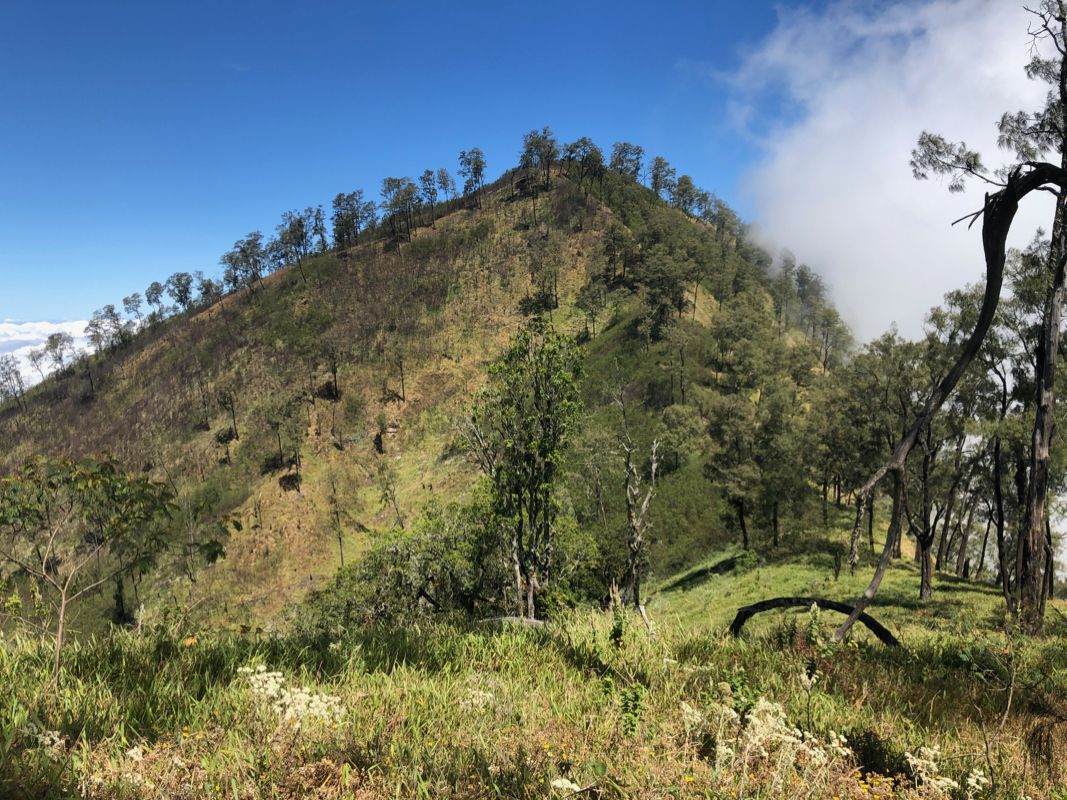
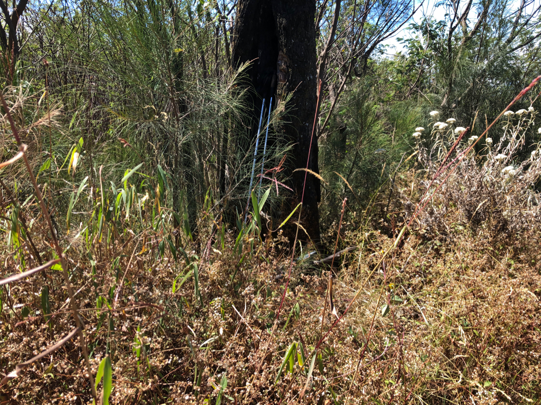
Part of the ridge had signs from a recent forest fire. In fact, this fire seemed to still be
burning in a few spots nearby.
We started our hike home shortly after 1300. The descent was uneventful, but care needed when
stepping on a trail that was invisible due to the long grass on all sides. Well down the steeper
part of the ridge, I walked along the pretty visible trail assuming that there was only one.
Wrong! After a while, I got worried since I could not recognize the area. My GPS quickly informed me
that we were off route. A trail going left at this point seemed the best option to get back on track.
This trail turned out, not surprisingly, to be the other fork at the point where we had made a sharp right turn
on ascent. Still, this navigational error cost us about 100 meter of elevation gain and perhaps
about 30 minutes of lost time.
We continued down and arrived at the trailhead at 1600. Fortunately, the two motor-bikes (ojeks)
that had driven us up, were happy with the business and had already come back up.