Location: North 46.73848, East 013.39617 (GPS at the summit)
Difficulty: YDS class 1
Climbed June 5. 2017.
Information:
How to get there:
From Villach in the south of Austria, drive north-east on A-10 (direction Saltzburg)
for about 25 kilometer. Exit and follow signs
to Weissensee. (Note that you may have
to exit earlier, then follow a parallel road in order to access the road that serves Weissensee.)
Continue up the valley on a good, but slightly narrow paved road to Weissensee. Turn right
just before Weissensee and drive a few hundred meter to a small area suitable for parking,
this is near a road fork. This location is N46.70463, E013.41825, elevation about 980 meter.
Route description:
From the parking, take the left dirtroad, then immediately the right forking
trail. The correct trail is the one that almost immediately starts climbing the
steep ridge. This trail is well marked and quite nice to walk. Initially, the signs
may read Techendorfer Alm and/or Stossia. However, one should just follow the trail
uphill, it crosses the forest road several times, before a final gradual ascent across
the hillside that will lead you to the grassy area of Stossia at about 1800 meter of
elevation. From here, the signs will read Latschur. Follow the trail, first across more
grassy land, then traversing on the left side of a subsidiary peak called Spitzalm. Finally,
from the connecting saddle, ascend a final, easy grass slope to arrive at the summit.
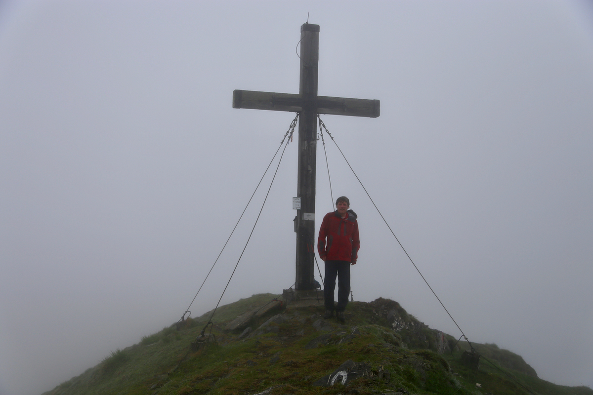
The summit is a short top ridge with the cross located at the far end.
One may note that this route is a continuous uphill, with only a few short, level setions
and no downhill slopes along the route of ascent.
Comments:
We started out at 0740, just as the previous day. The weather was completely overcast and
it looked like rain was imminent. The trail was nice and climbed steadily and we reached
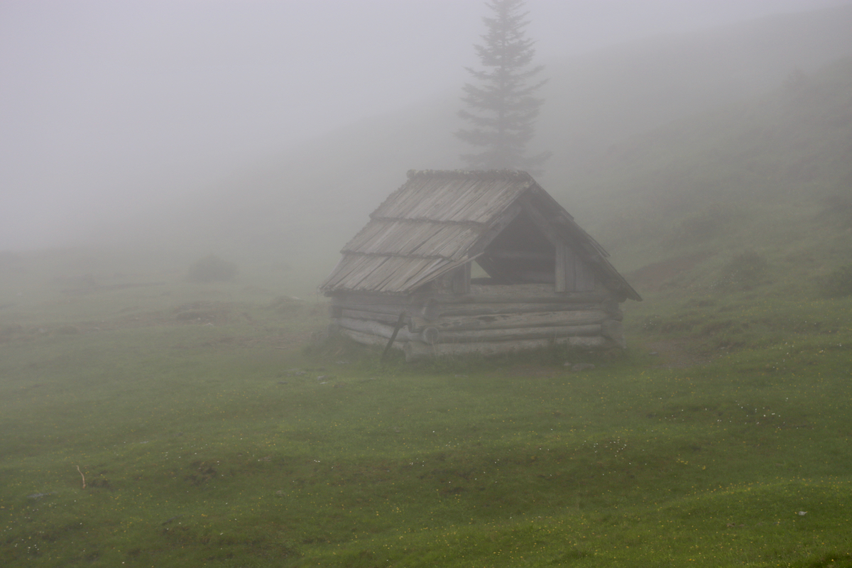
the Stossia mountain farm area at 0855, about 850 vertical in 1:15. We rested about 5 minutes,
the fog was quite dense. From here to the summit, the mountain was all covered by grass, we arrived
at 0945, so 2:05 up. Two other hikers arrived after about 10 minutes, they came from a different route.
We left at 1000 and returned to Stossia for another short rest, oranges on the menu. The weather
now cleared slightly and visibility improved. We were back at the car by 1120, quite a rapid and easy
descent.