How to get there:
This peak is accessed from the north. One may get to the forest road
from roads just south-west of Upper Saddle Mountain. The forest road
ascends the mountain from the north, gaining substantial elevation.
Drive this road (ok for most vehicles) to location
N50.06862, W117.98750, elevation almost 1950 meter. Park here, this is not
the end of the road.
Here is a summary of climbs in Canada, August 2022,
Route::
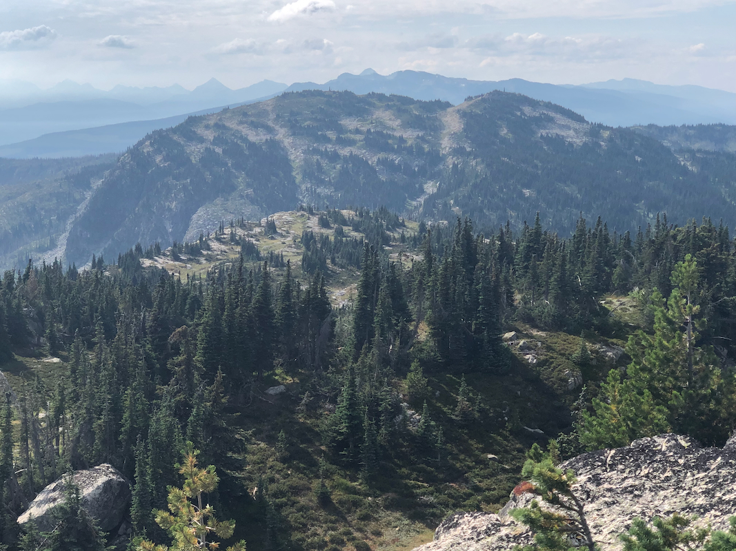
An old forest logging road forks left from this trailhead. Follow it as it curves right
and gains elevation. There are some fallen trees, but not more than one may handle quite
easily. Higher up, this road arrives at the ruins of an old hut located on your right hand side.
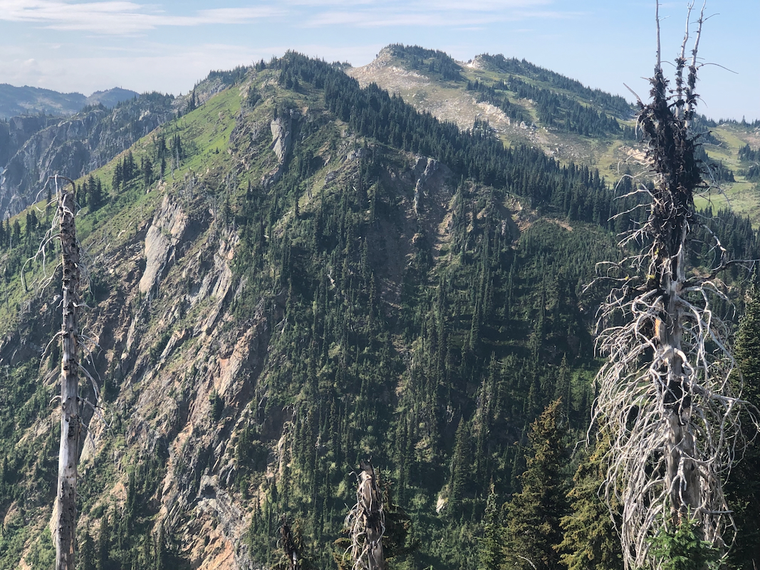
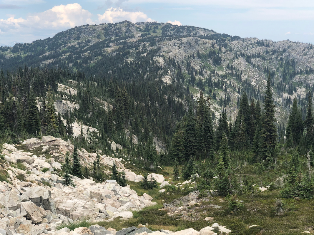
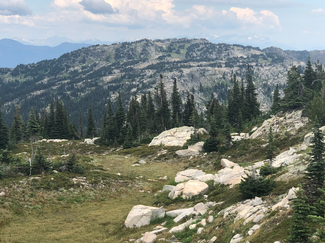
Continue along the high ridge,
then descend to a local saddle. Stay at the saddle elevation, possibly
slighty higher, after a very brief section of forest you will hit an open area that may be followed as
it connects to more open terrain onwards. Ascend easy terrain to gain the summit of the
Ingersoll North Peak.
Comments:
The north and the south summit are very close in elevation. Until more accuracy
is available both summits must be climbed in order to claim a RIBU ascent.
The summit that is not a ribu has 148 meter of prominence to
its (higher) sister.
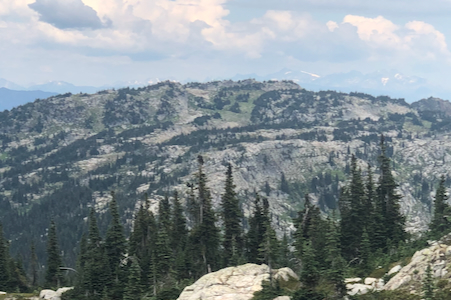
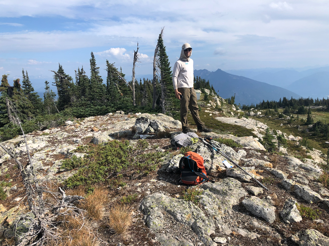
This is a nice hike in very reasonable terrain.
We left at 0840 and arrived at the north summit
around 1030. We rested there about
10 minutes, before we continued to the south summit. Arriving there
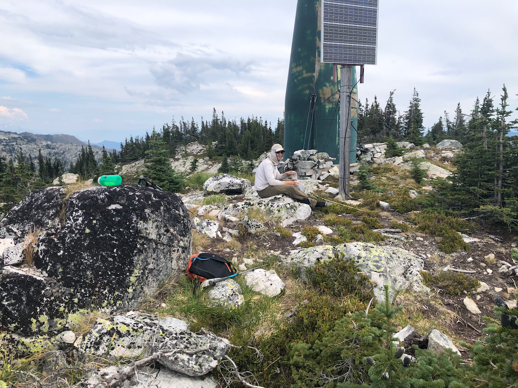
around 1130. Two rocks separated
by the radio tower seemed to compete
for holding the highest point. The return traverse (after a break) took about 45 minutes.
We again rested on the north summit
before returning to the car close to 1400.