How to get there:
The mountain summit is located at 76.26.942 north, 26.19.827 west.
This is a GPS measurement at the summit. Route description:
The only good route is to ski north-west between this mountain
and Falkoner Klippen (to the north), passing two small nunataks (north)
and then ascending the north-west ridge from the north. This ridge
can be followed, first on rock later on snow until it widens and
connects with the main summit face sloping gently Comments:
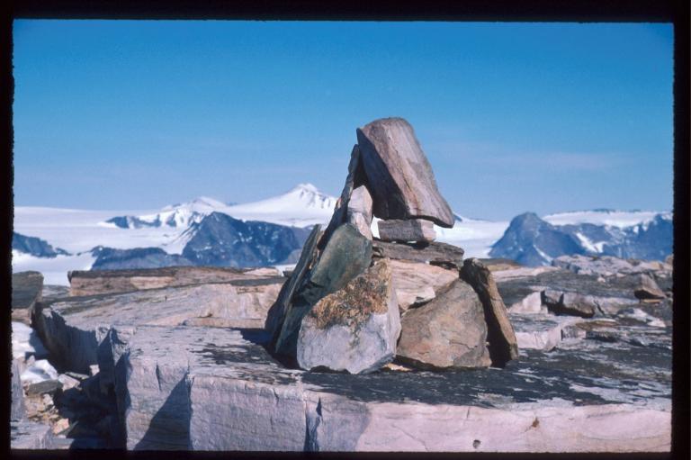
The ascent on May 28. 2000 was a first ascent. A cairn was built
at the summit. My ski tour around the the north side of Helgoland on
May 23rd. is
the farthest north I have ever skied (or hiked for that matter).
Resources:
Images
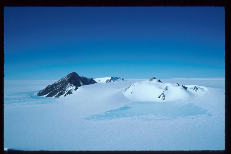
Helgoland as seen from the
east, Falkonerklippen behind.
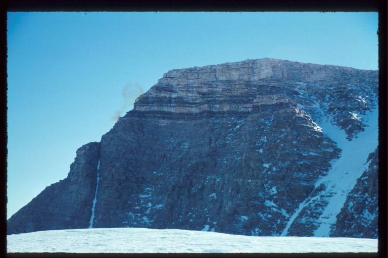
Helgoland north side, the upper
distinct rockbands look similar to the north face of Kerberus.
Helgoland west side, the
(south)-west ridge is the best approach.