Location: North 47.62325, East 013.48054 (GPS on the summit)
Difficulty: YDS class 1
Climbed October 1. 2014.
Information:
How to get there:
With Salzburg as the starting point of reference, locate
Bad Ischl east and slightly south. From Bad Ischl, drive south
on Hwy. 145 for about 10-11 kilometer, locate a road fork where one may
turn right with signs for Hallstatt. Take this road, drive about 5 kilometer,
ten locate a very visible intersection where you should turn right while
the road going straight ahead would serve Hallstatt. Drive uphill and locate
the small village of Gosau. The road to the trailhead forks/turn right here
and continues uphill to Pass Gschütt, 964 meter. Continue downhill, then
exit right following the sign for Russbach. This is a small and charming village.
Drive towards the church, go on its right hand side and follow a local road uphill
and out of town (on the left side of a creek). This road will soon have several
signed spots for parking. Park somewhere here, in any event just before the road
forks with one branch turning sharply right and uphill, while the other branch
goes straight with a sign that says closed to public traffic. This is the
trailhead, location N47.59877, E013.46370, elevation about 875 meter.
Route description:
A loop hike is recommended and will be described here.
Follow the road that turns sharply right and climbs uphill. Higher up,
follow signs for Gamsfeld where the trail leaves the road (left) and heads more
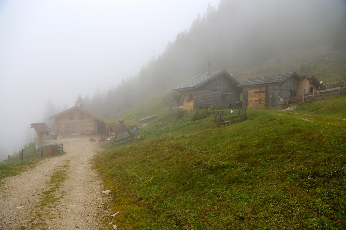
directly uphill. Higher up, this road eventually runs out while serving some
mountain farm buildings. The signed route (marked with red/white) continues
uphill to near the summit of Gamsfeld where it meets a trail coming up from
your left hand side. The final short stretch passes a couple of lower summit points
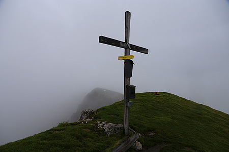
before gaining the highest point with a nice summit cross.
Returning, take the right fork that you passed shortly before the summit. This trail
descends back down into a valley, then curves more left and descends to a farm road
and some local buildings.
Continue along this road to a second mountain farm with several
buildings. Descend into the valley and follow the farm road back down to the trailhead.
Comments:
A break in the scientific program for a mid-week excursion allowed me to
do a second early morning hike.
I left the car at 0700 and arrived at the summit at 0900.
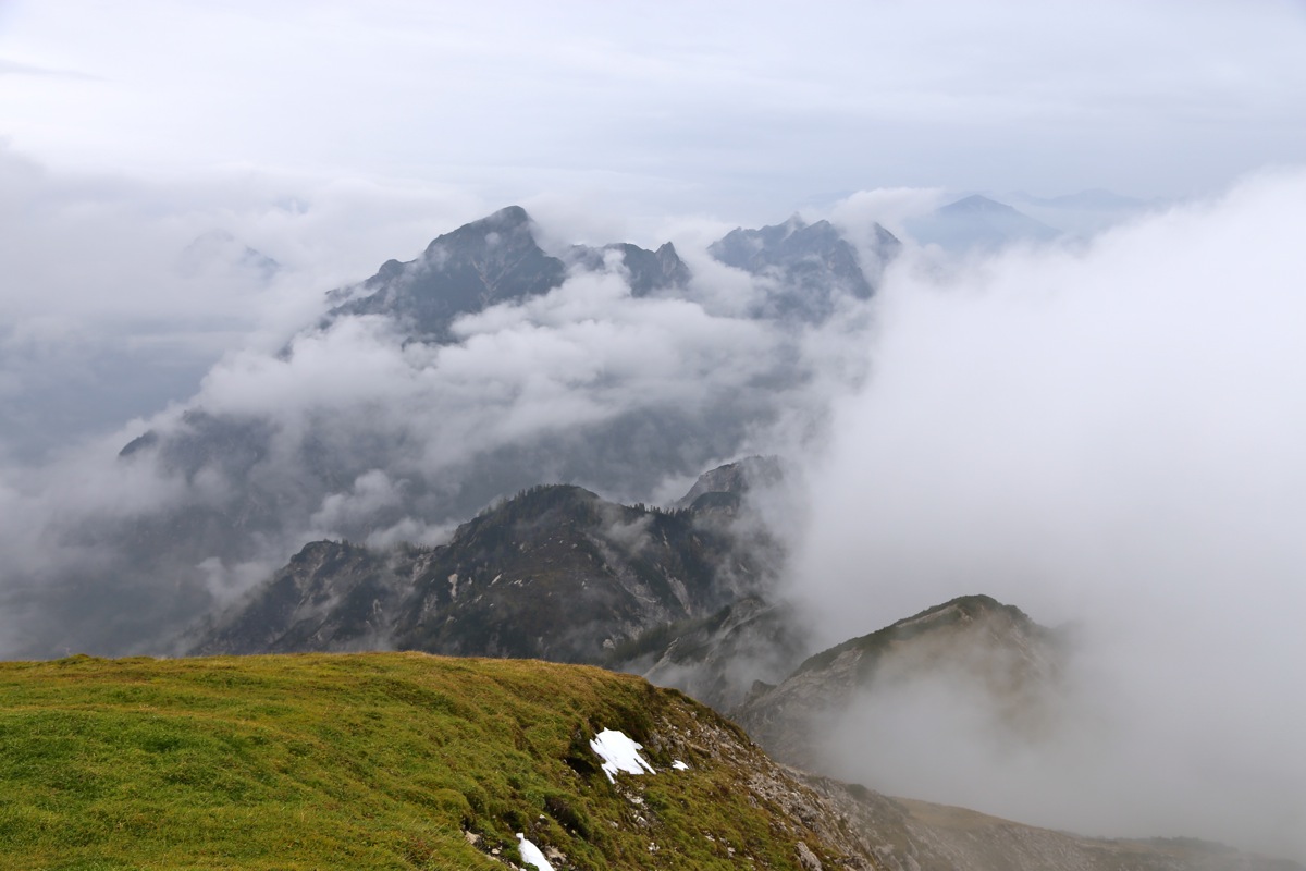
The weather was cloudy
with a slight drizzle. Fog and poor visibility.
Despite the weather, I did enjoy a 15 minute break. It is sometimes quite nice
to be at a place like this, knowing that you are
the only person on the mountain.
I descended the alternative way, walked by
two different huts and arrived back at my car
by 1045, so 1:30 down.