Frazier Mountain
- Frazier Mountain
- 2440 m
- Primary factor 751 m
- California, USA.
- Location: North 35.44933, West 118.38850 (GPS on the summit.)
- Difficulty: YDS class 1, drive-up.
- Climbed September 19. 2018
Frazier Mountain
|
|
How to get there:
Take Frazier Mountain Park Road west from I-5.
(This is the exit after Gorman when driving north on I-5.)
Keep right in Lake of the Woods, onto Lockwood Valley Road.
Fork left again onto Frazier Mountain Road after about 0.87 miles.
This road is paved up to a campground, then dirt. High clearance
is recommended, but a normal car might get up with
careful driving. The road leads all the way to the
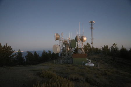
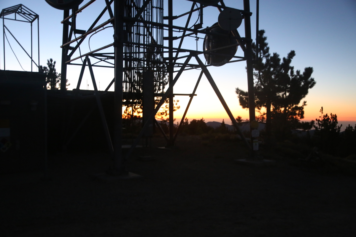
summit where you find antennas and
an old fire lookout tower.
Route description:
Drive-up route.
Comments:
It had taken well over an hour to drive back down from Alamo Mountain, the sun had gone down
and the time was rapidly moving towards 1900. It did look from my map as if One could drive
to the top of Frazier, very tempting to give it a try before returning to LA.
I ´drove up from I-5 and located the correct Forest Service road without wasting much time.
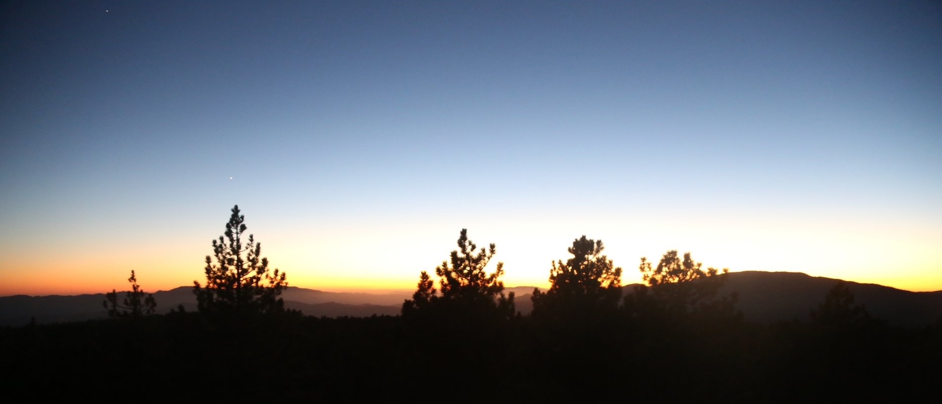
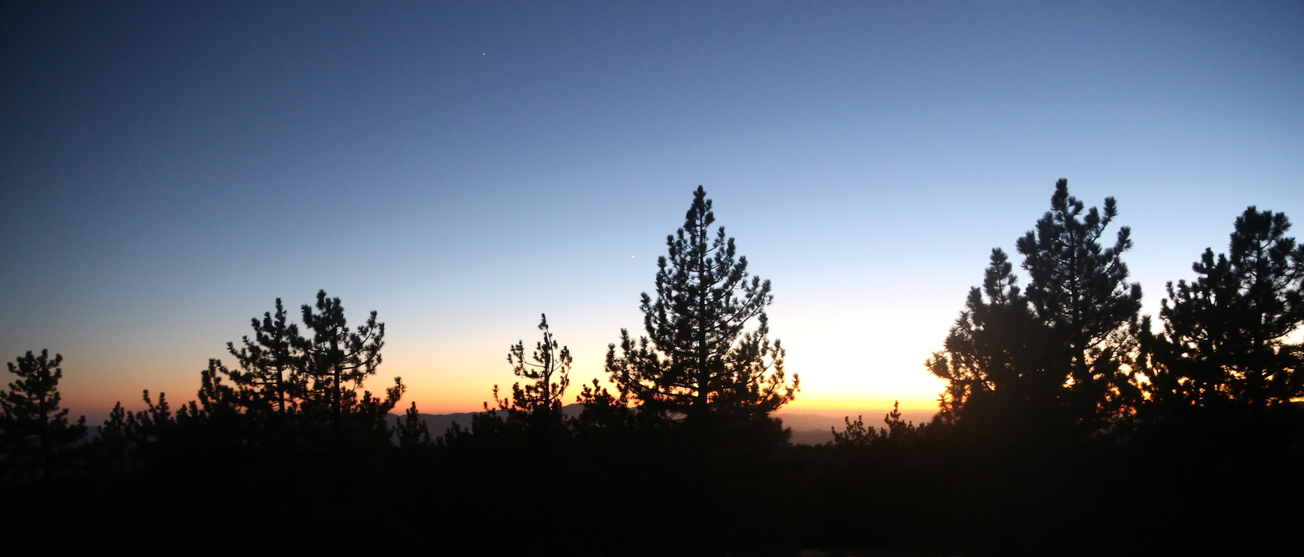
Arriving at 1925, the west sky was still glowing red
shortly after sunset. I explored
the old fire lookout giving a slightly better view
above the trees. Next in order was
a careful driving descent, then return to LA on I-5, then I-405.