Location: North 14.95037, West 024.34236 (GPS at the summit)
Difficulty: YDS class 3 (top only)
Climbed February 20. 2018.
Information:
How to get there:
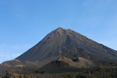
This mountain is located on the island of Fogo.
The airline Binter (Cabo Verde) flies
there from the capital Praia located on the neighbor island of Santiago. There is also
a (unreliable?) ferry service between the two islands.
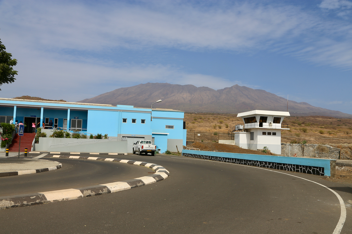
The airport (SFL) is located near the
main village on the island, Sao Felipe.
It takes about one hour to drive from Sao Felipe
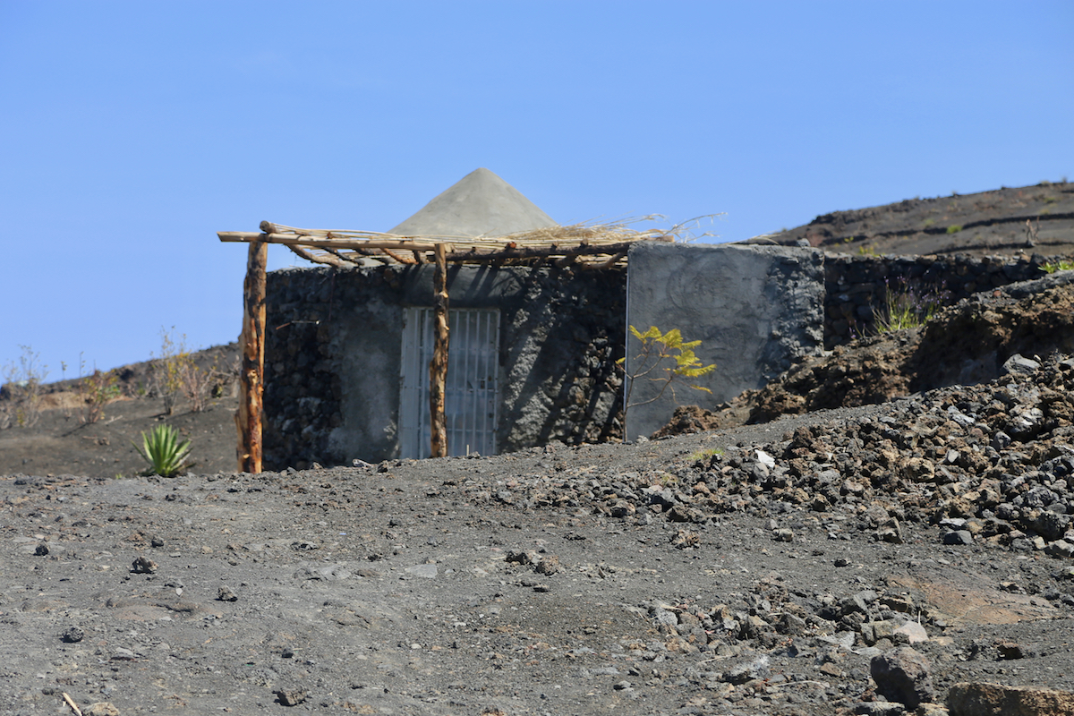
to the very small village of Portela,
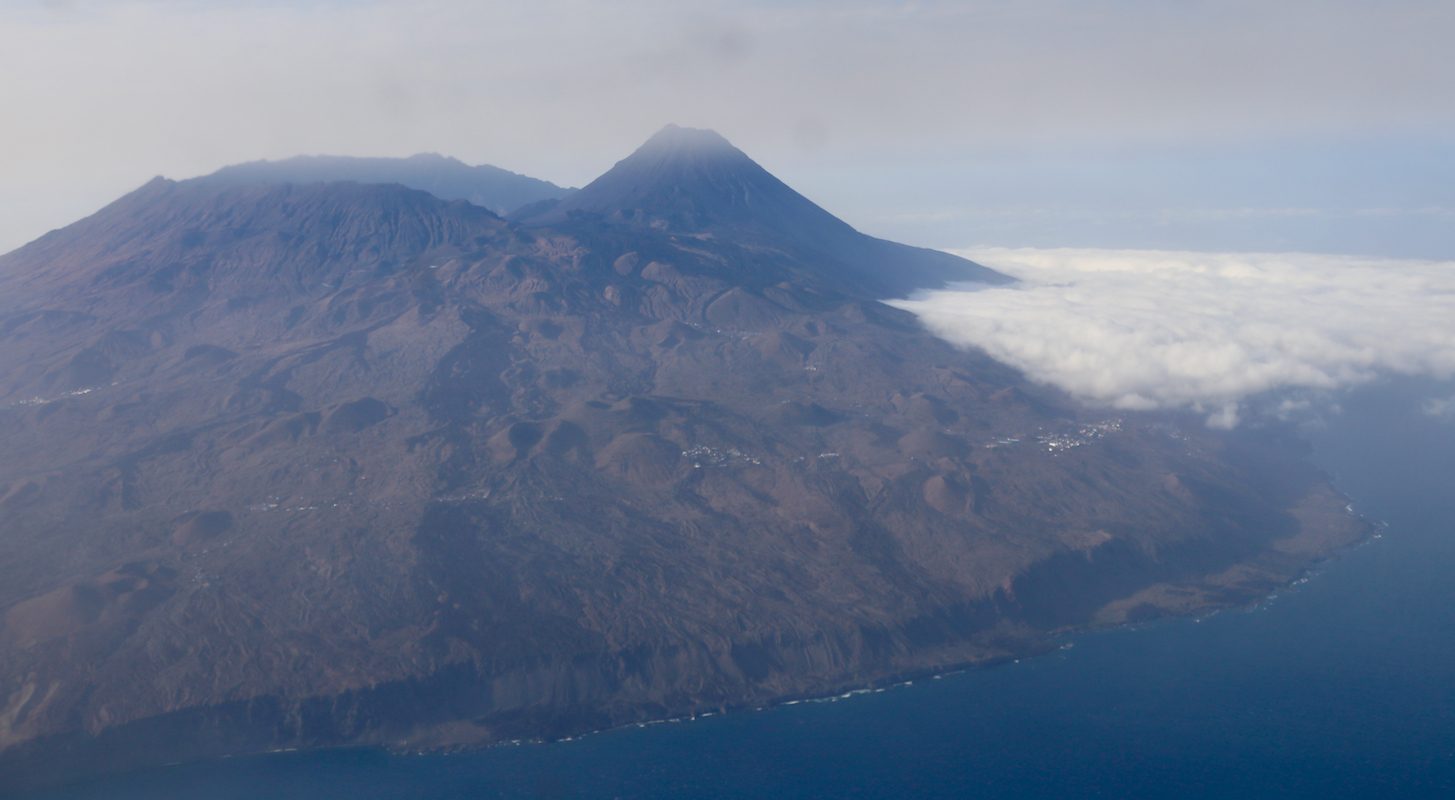
located inside the big caldera crater, at about
1700 meter of elevation.
The least expensive transport is likely a taxicab, if you negotiate the price in advance, a reasonable
price in 2018 might be 3000 in local currency. The return transport may be more tricky, perhaps just
agree on a round-trip price including the wait.
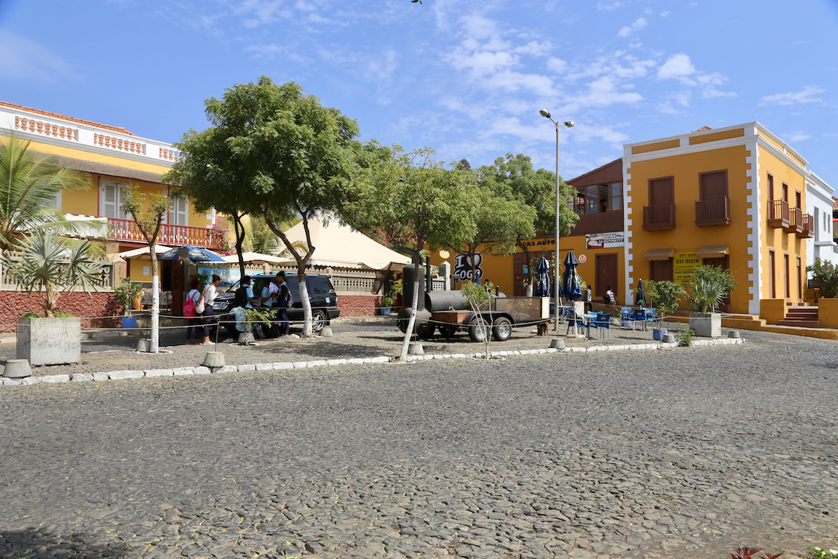
If spending more time on the island, there is a well organized
local tour operator called Zebra Tours.
They can offer accommodation, they run a local restaurant and
they certainly can provide transportation, even a guide if that is what you want.
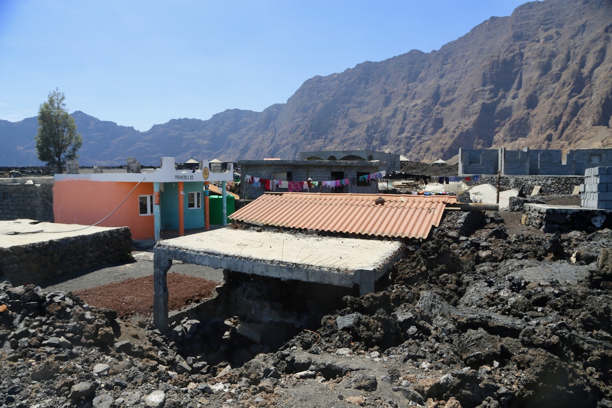
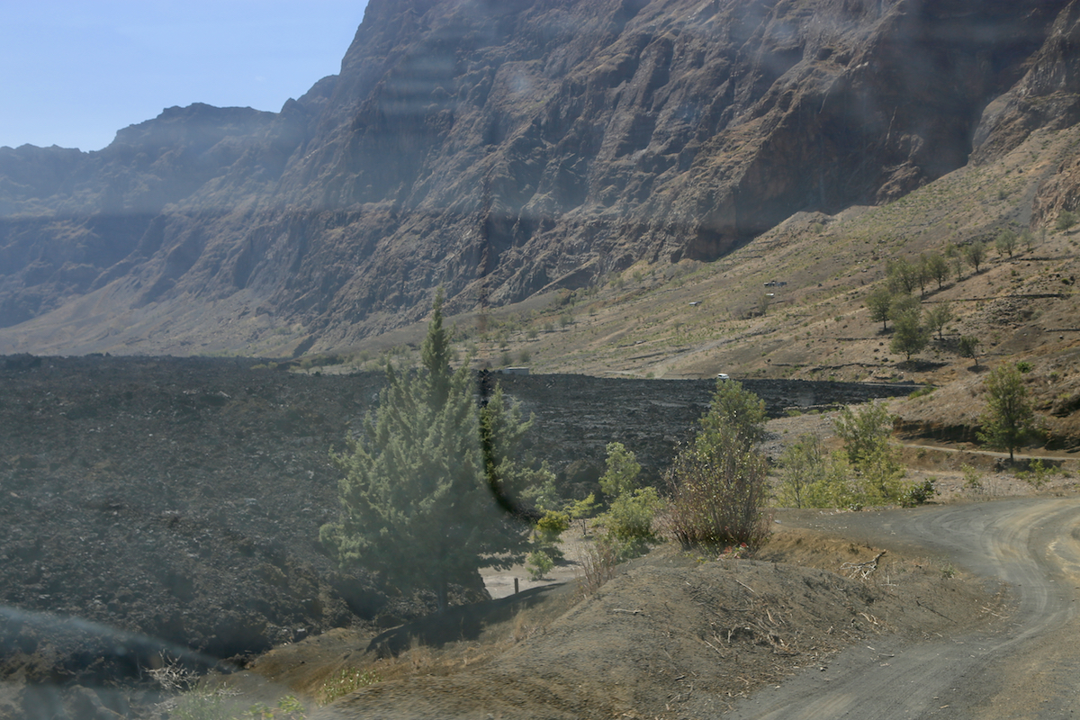
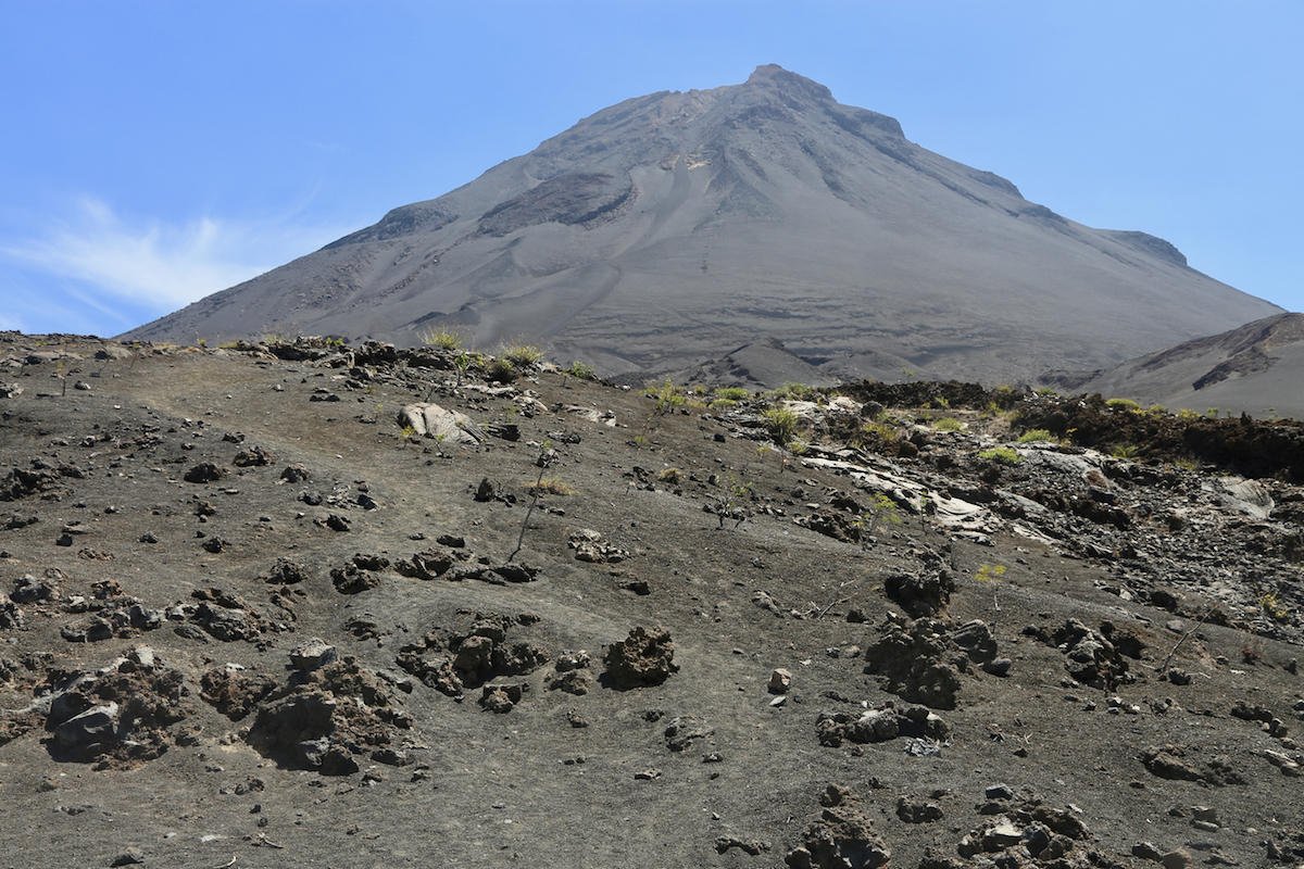
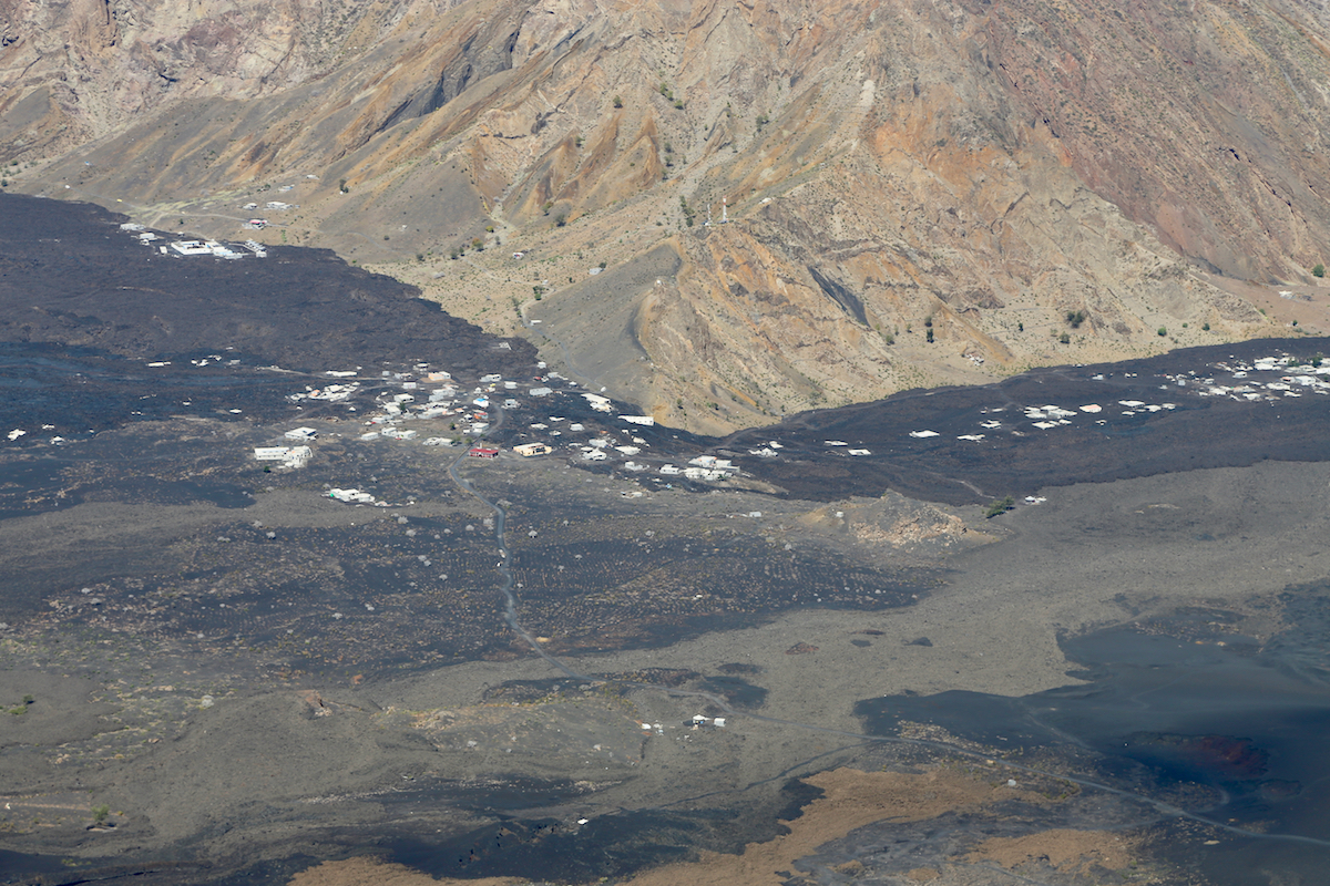
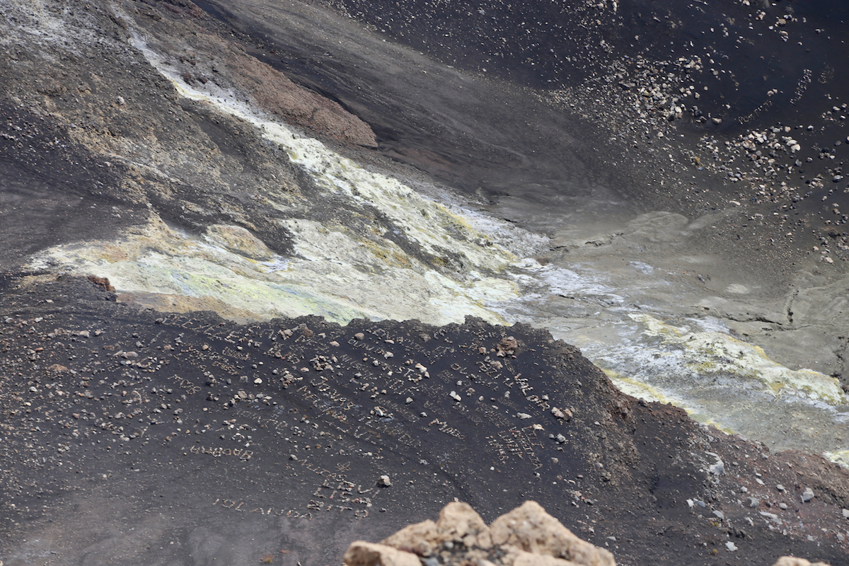
The volcano had a serious eruption in 2014 that destroyed
most of the houses inside the
caldera and pretty much filled
the large, flat area with lava. Route description:
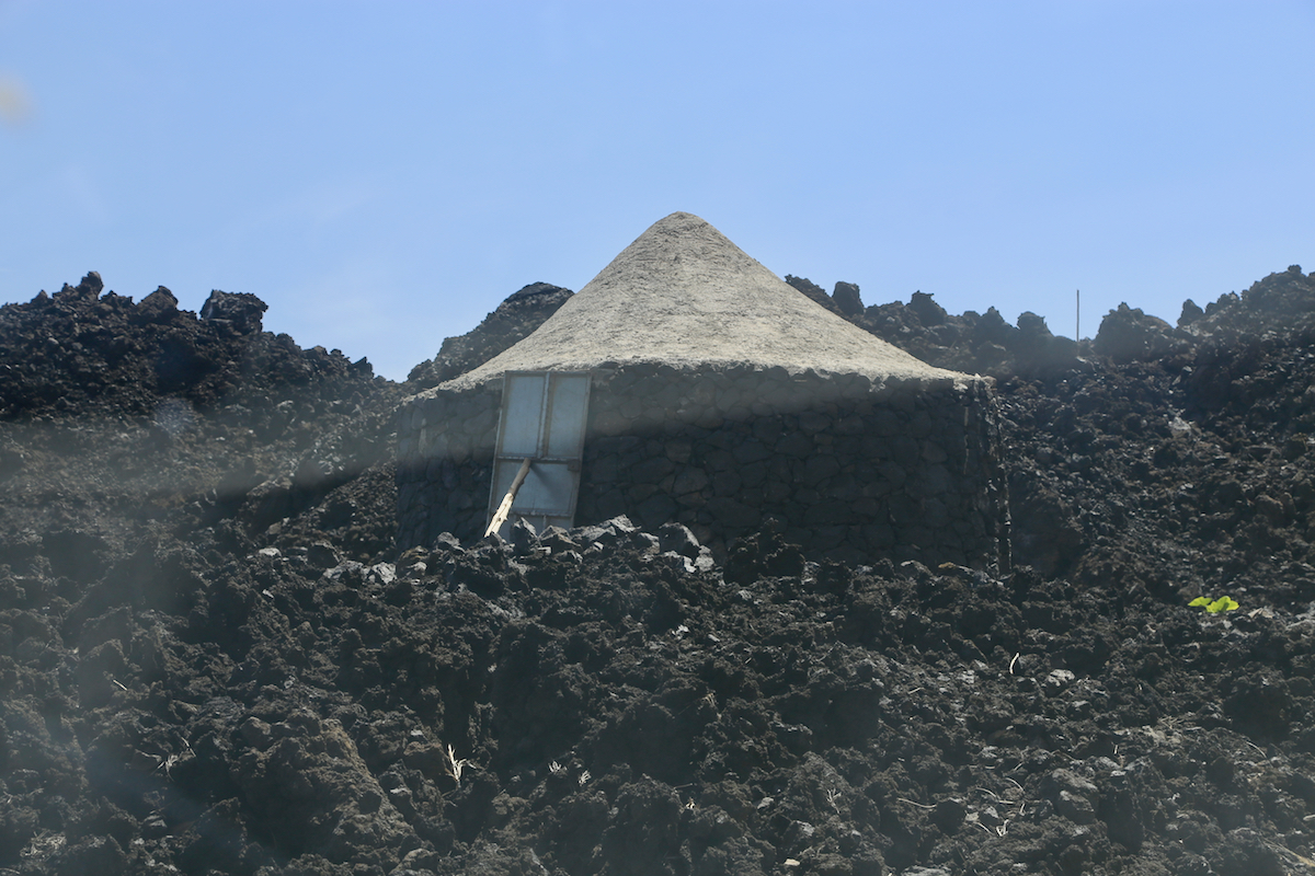
Once in Portela, it is easy to see the road that continues a short stretch across
to the base of the uphill slope. Drive or walk this short distance to a spot immediately
before a small hut, near the high point of this road. This location is
N14.96723, W024.35475, elevation about 1760 meter.
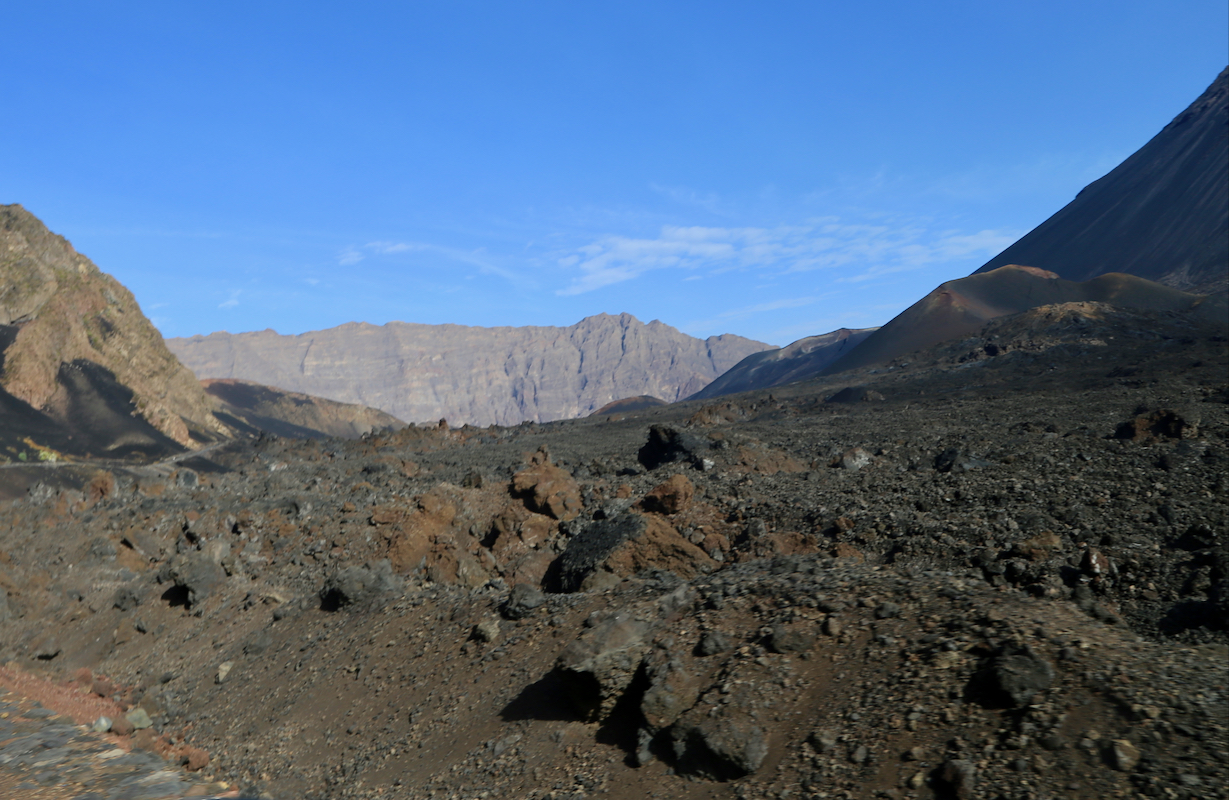
There is a clear trail heading uphill
from here. Pay attention as this trail forks fairly soon, the uphill route should keep
left in order to get onto a trail that works well when going uphill.
Higher up, this trail enters a rock rib (small ridge), thus avoiding the slippery
volcanic sand. The route is easy to follow,
partly on solid rock and partly in
nice zig-zags that provide good friction/footing. This trail runs pretty directly
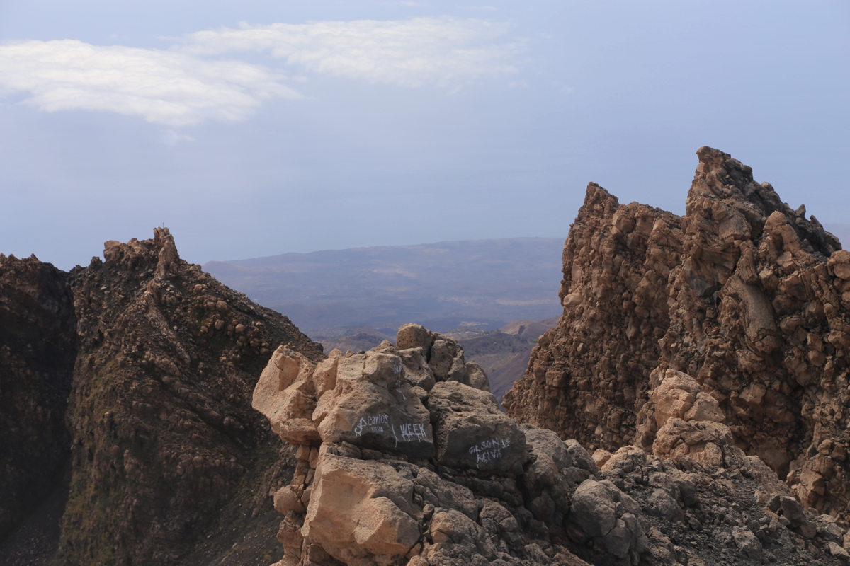
to the crater rim. Many tourists seem to stop here. In order to access the highest
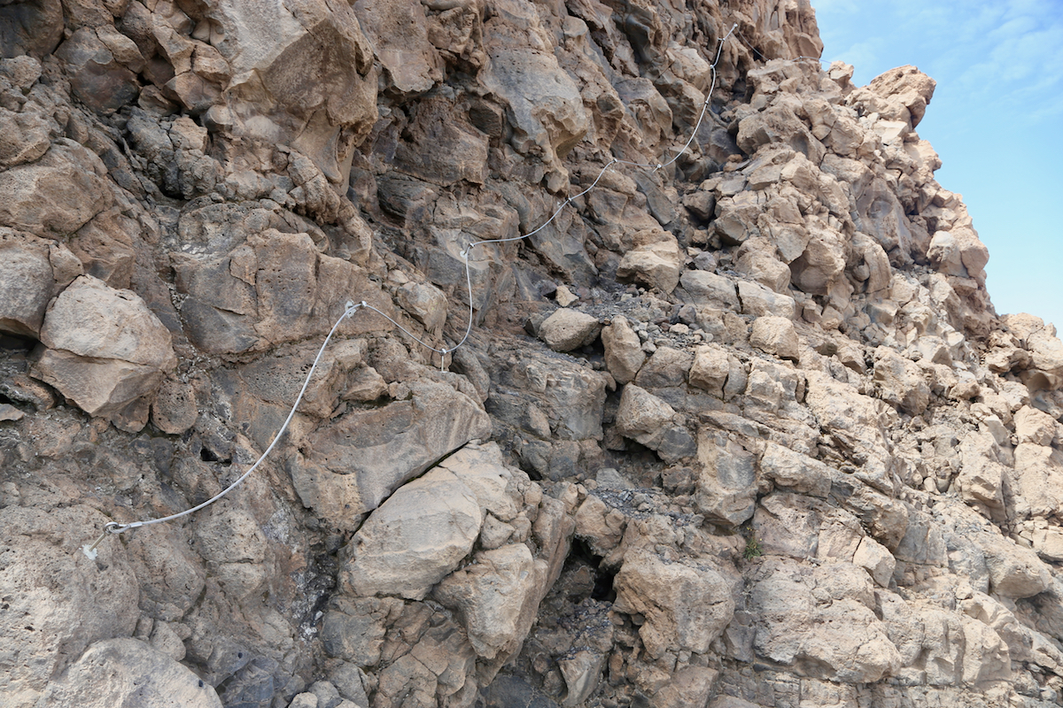
point on the crater rim, one should turn right (when facing uphill) and follow a
clear trail a very short stretch to a natural weakness in the rock structure
that blocks easy access. The scramble up here is a bit exposed, but not
difficult, (YDS class 3). To secure and facilitate this short section, there is
a solid steel wire bolted to the rock.
One may simply walk up the rocks while
holding onto this wire (YDS class 2+).
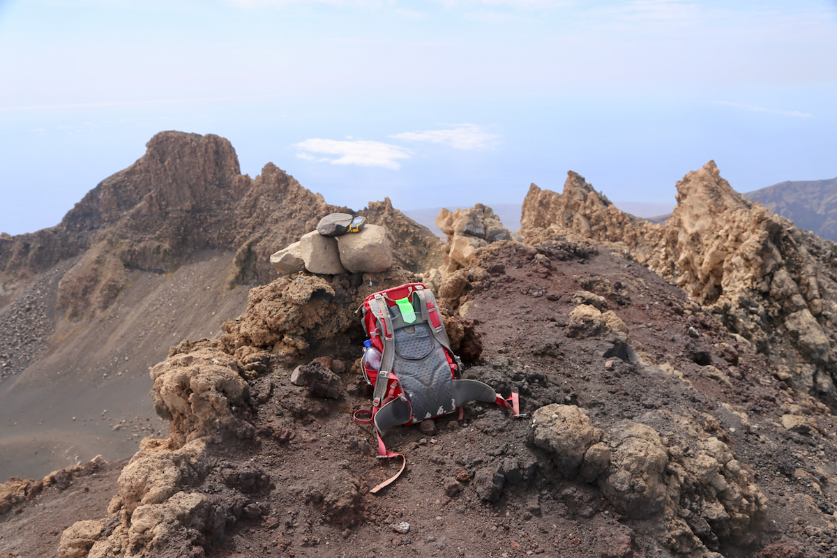
After this section, a very short zig-zag trail will lead to the highest point
marked with a small rock cairn.
Note that the descent route is different. Initially, head back down the same track, but keep
left whenever you see a track going that way. You will soon
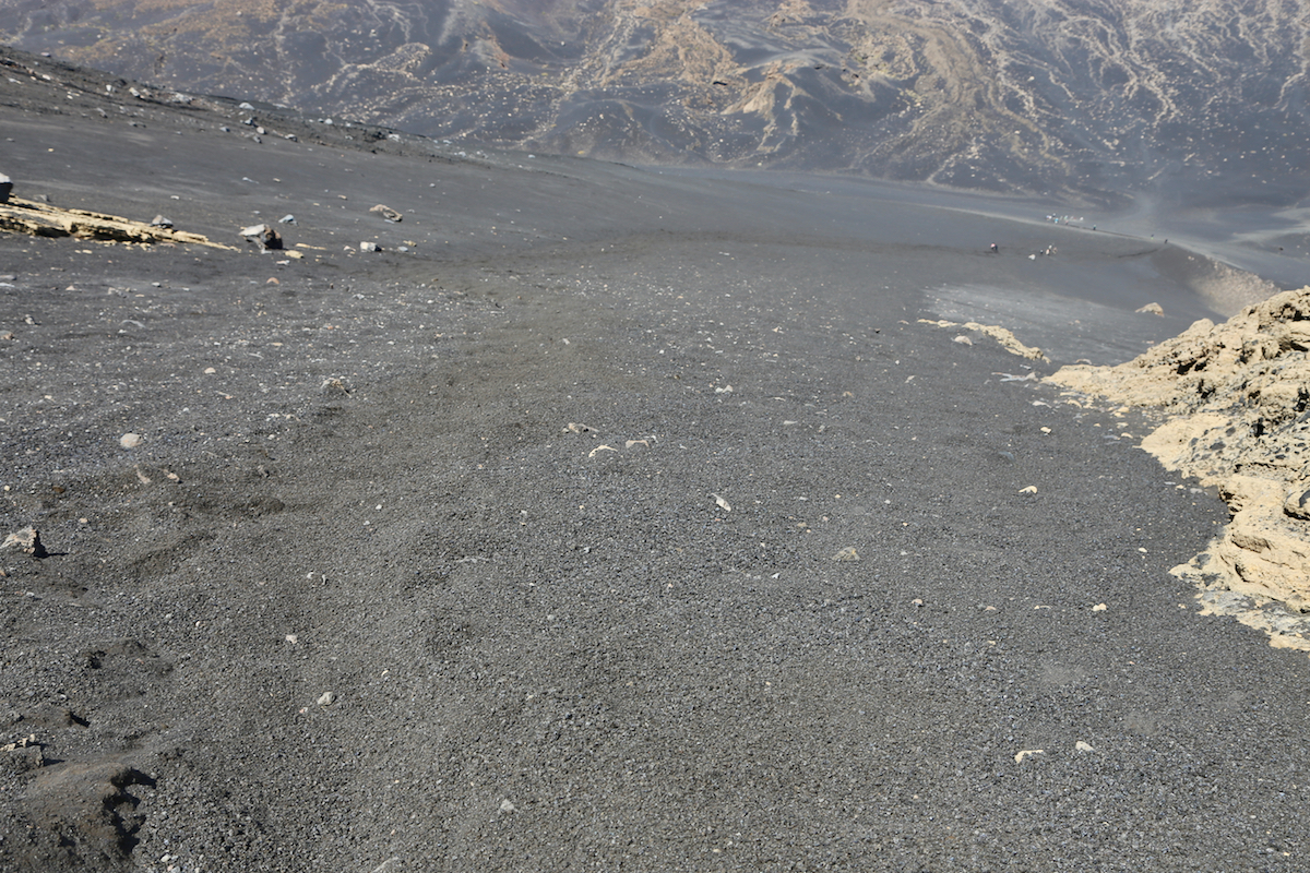
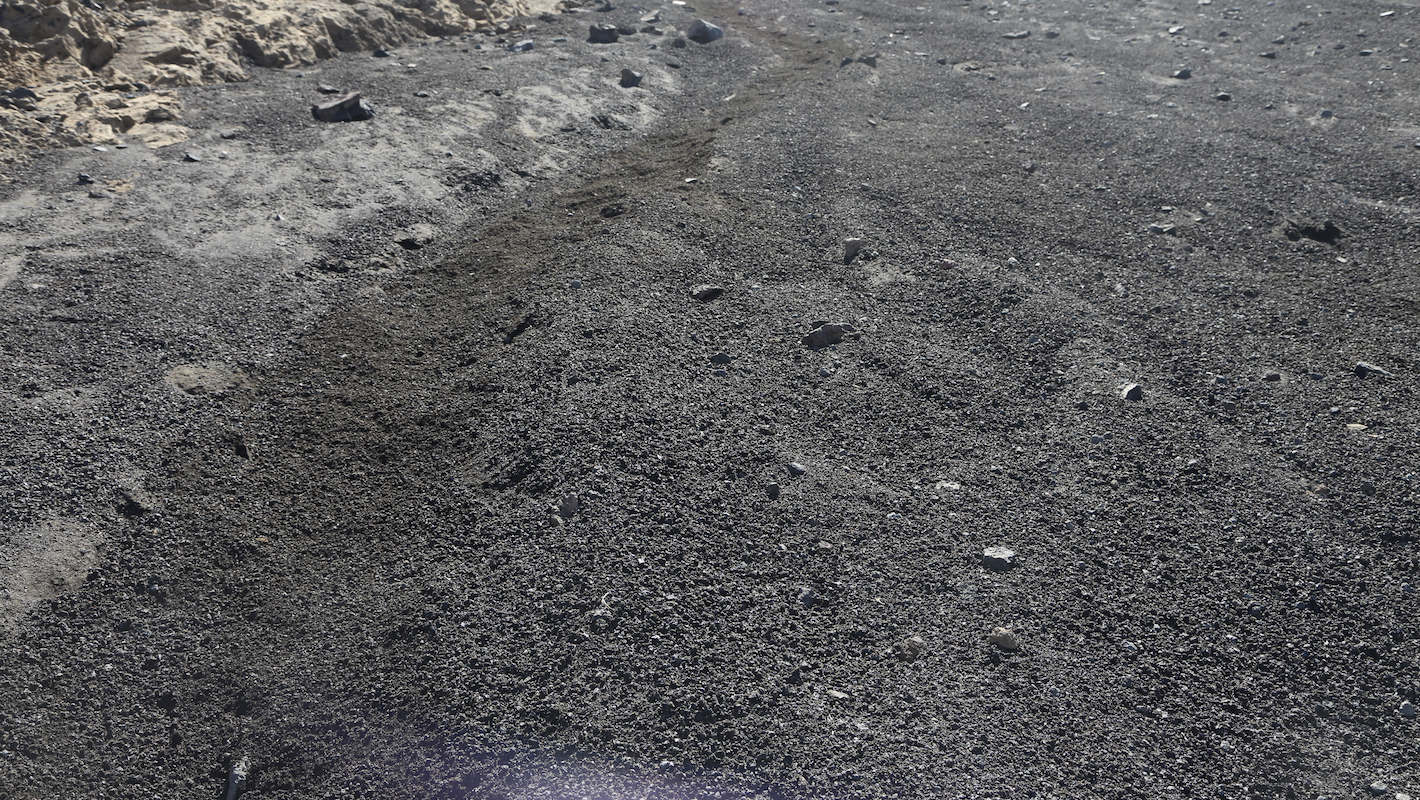
enter a slope of volcanic sand.
Descending here is smooth and easy, like going down a snow slope with similar conditions.
The route will pass a single rock, then turn a bit left before another downward slope. When
you run out of sand follow a visible track, but keep right. In this way you will merge
back to the path of ascent, however, the remaining distance down to the road is now quite short.
Comments:
I took the 0750 flight from Praia, the plan was to do this peak as a daytrip and return
for dinner with Heidi later in the day. The flight was slightly delayed and I did not
know exactly how long this trip would be. The only thing I did know was that my return
flight left Sao Felipe at 1630 and I better be there well ahead of departure time.
I had pre-booked transportation and a car from Zebra travel waited for me as agreed. He could
assure me that the drive would only take about one hour, good since I had a report that this
transfer was more like 1.5 hours. The driver indicated that a guide was required, but he quickly
accepted my reply that a guide was not needed since I had guide qualifications myself.
Thus, by 0945 I was on my way, having told the driver that he should start looking for me around 1400.
The ascent was indeed nice and the trail was easy to follow and quite nice since it mostly stayed
away from the loose sand. I made a brief stop and had a drink of water after one hour, also checking
on my progress. I had ascended 600 vertical meter already, thus a good estimate for the ascent would
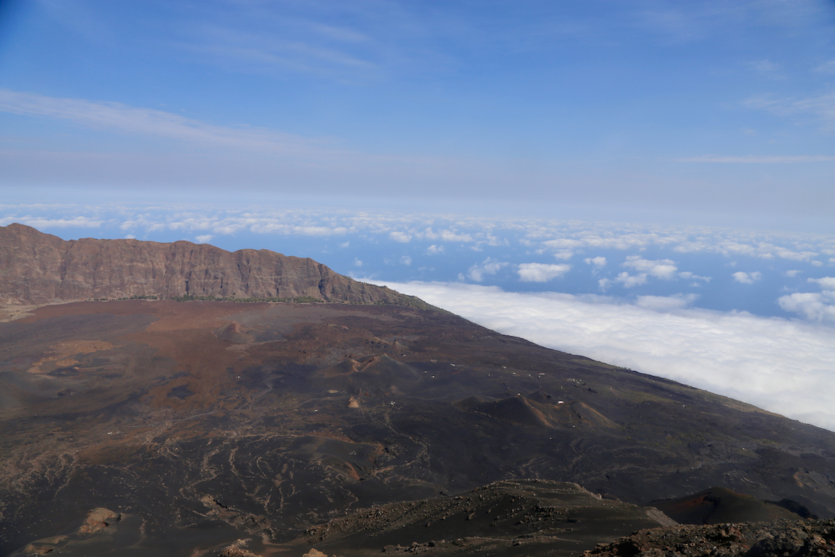
be 2 hours and I should be down with lots of time to spare. The view from here was already good, towards
the sea as well
as back down to Portela.
I continued uphill and soon I could spot that I was not alone on the mountain. A bunch of people were
standing on the rim, easy to see against the blue sky. This turned out to be two guided groups
of German tourists.
Shortly before I reached the crater rim, the groups passed me while descending. I continued directly
to the highest point on the rim. The short scramble was easy
and soon I was on top, the time was
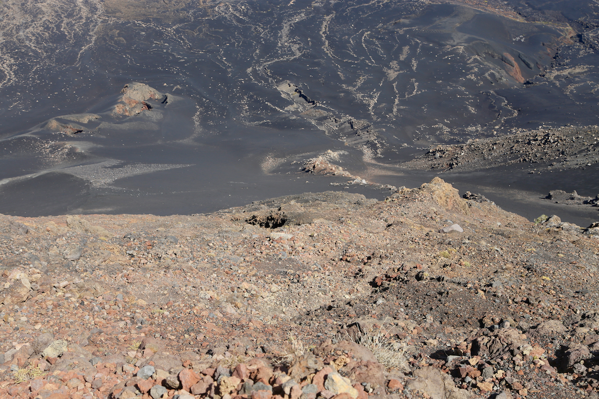
1135, so 1:50 for the ascent. It was really nice and quiet, nobody around. I took several pictures
of the crater as well
as of the large caldera below.
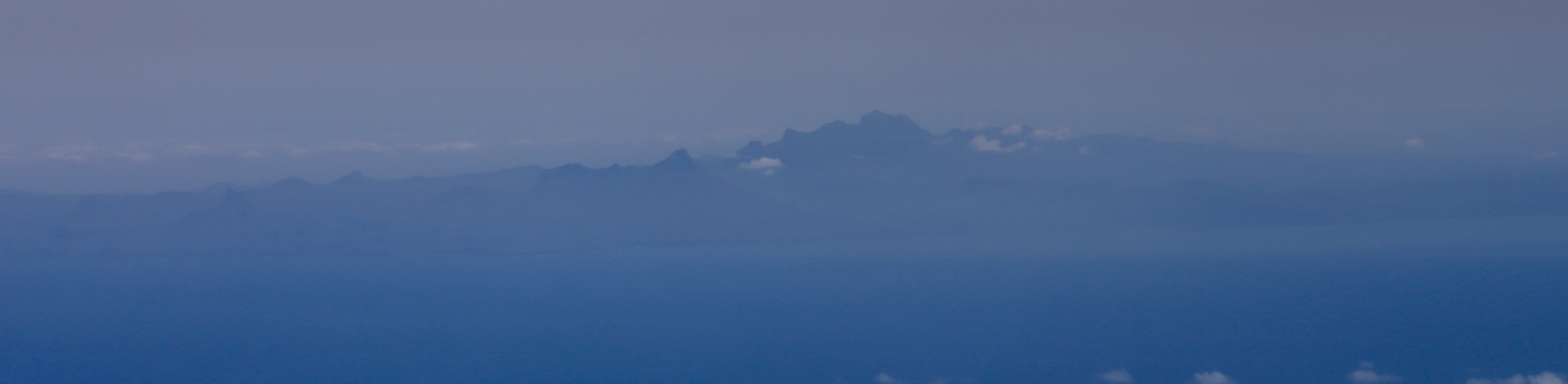
Across the sea, I could see the
contours of Sao Santiago, quite blurred, but
clearly visible.
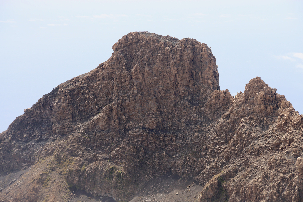
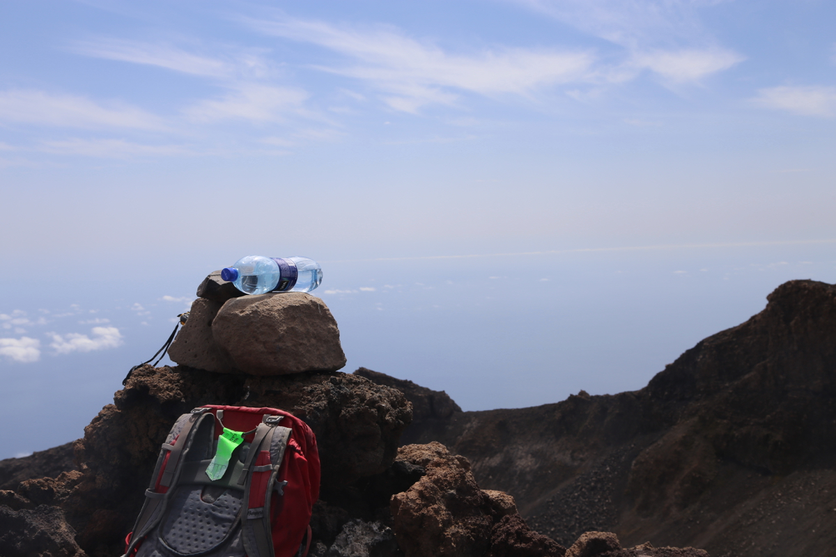
There was
another point on the crater rim that
looked pretty high. I decided to use
the water bottle test in order to estimate the relative
elevation. The result was reassuring,
the other cliff was indeed lower.
Now, when I had complete control on my time, it seemed nice to just enjoy this special place a bit longer.
With more than 1600 kilometer to any higher point (Pico Teide), this peak ranks high with respect to
isolation.
I decided to leave at 1200, noon. I knew that the route of descent would be quite fun,
loose volcanic sand,
very similar to descending a snow slope. I caught up with the German tourists and returned to the road
by 1250, so only 50 minutes all the way down. My driver was not there, so I started the short walk back to
Portela. However, he had spoken to one of the guides (with the Germans) and knew I would be early.
He therefore came driving before I was all the way back in the village. We still made a stop there, a cold
Coke was in order and my driver still wanted to chat with some of the locals.
We subsequenty left and drove back to the town of Sao Felipe in order for me to also see the location
of the Zebra agency. After yet another nice break, I transferred back to the airport together with
another party that Zebra serviced. Arriving at the airport about 1.5 hours before my flight, my excursion
to Fogo was complete.