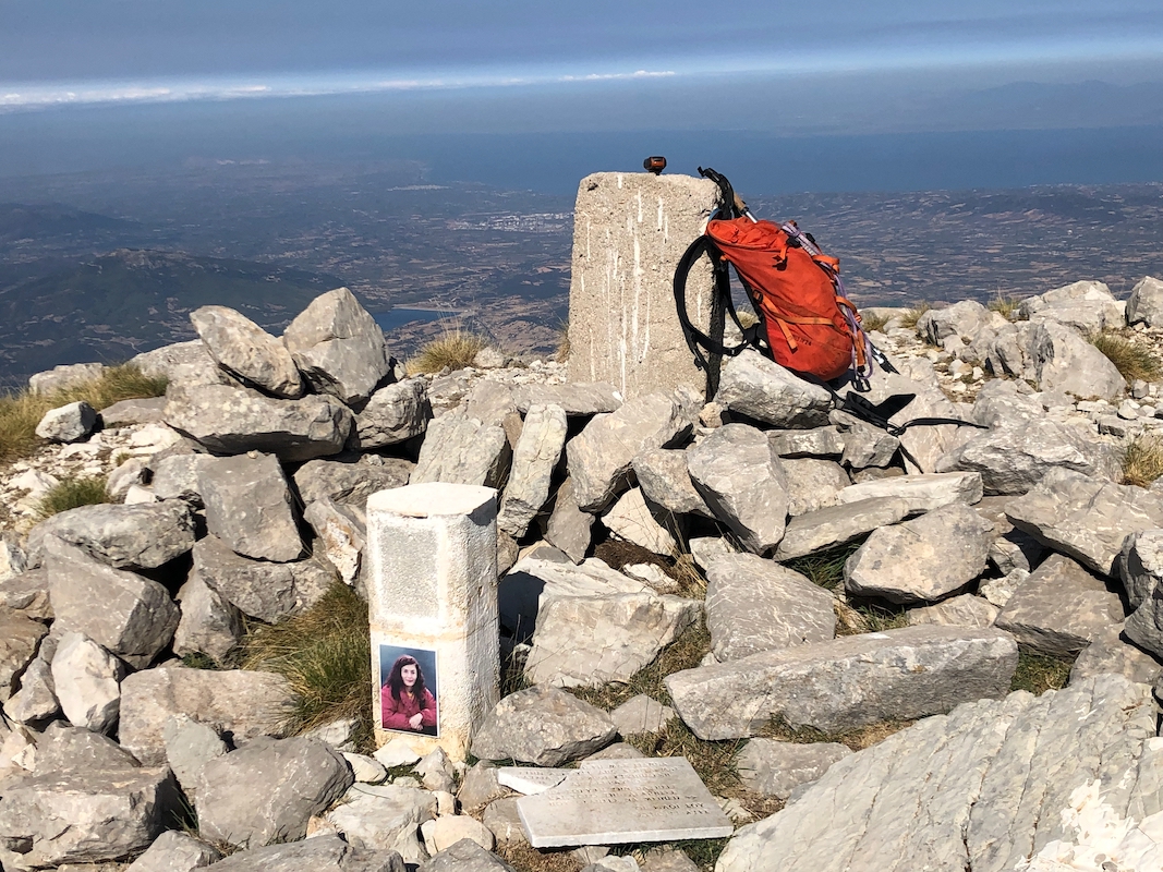
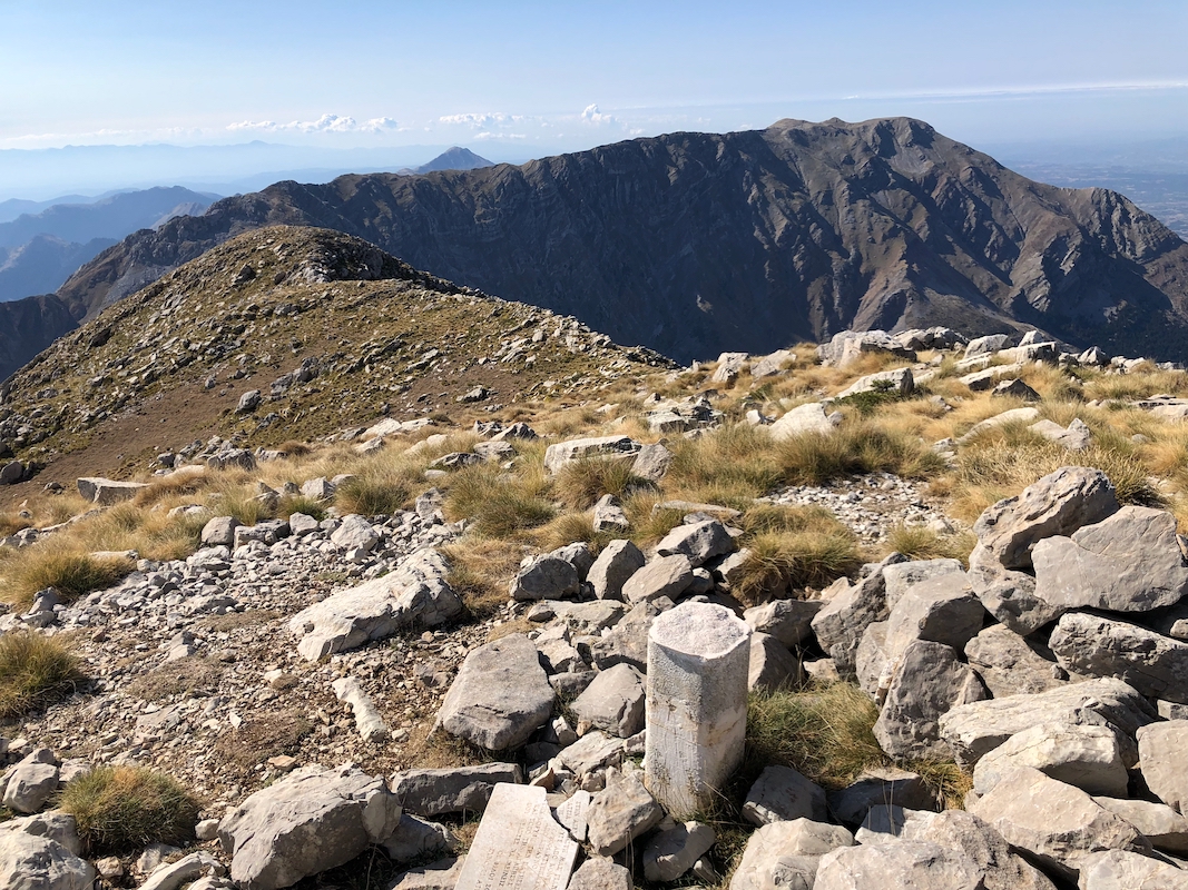
Location: North 37.98833, East 021.83439 (GPS on the summit)
Difficulty: YDS class 2
Climbed October 6. 2021.
Information:
How to get there:
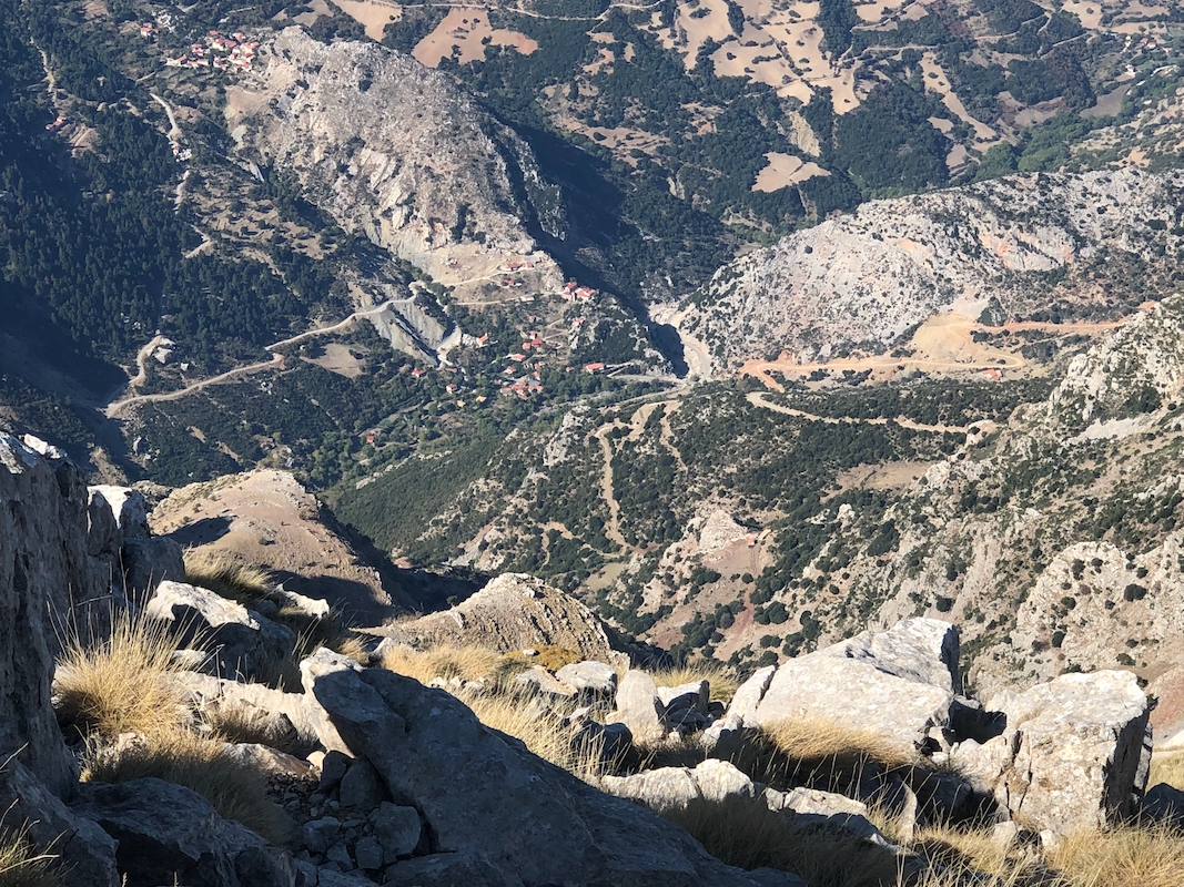
The normal trailhead (there are even some signs) is located at
N38.01925, E021.88920, elevation near 950 meter.
There is a good dirt road that continues from here to
location N38.0060, E21.8717, elevation about 1340 meter.
This latter location is the recommended place to start from. Make
certain that you park in a spot that does not cause any
inconveniences for the local people.
Route description:
Head directly up the ridge, a steep dirt road in the beginning, but it quickly
turns into a trail. Higher up, this access merges with the marked trail that
runs uphill from the 950 meter location.
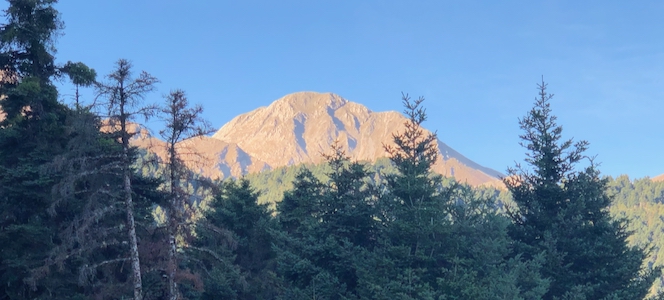
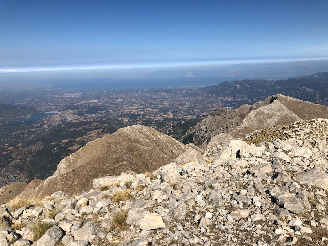
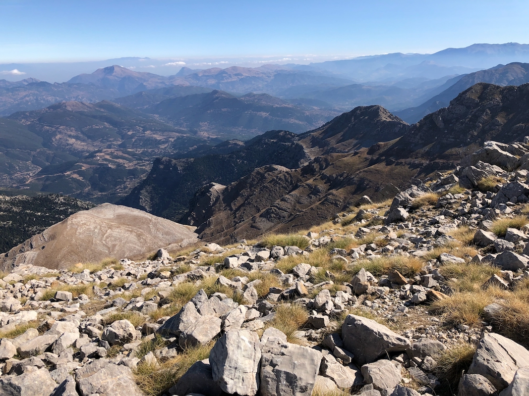
Continue on a good trail above timberline
along the north side of the mountains.
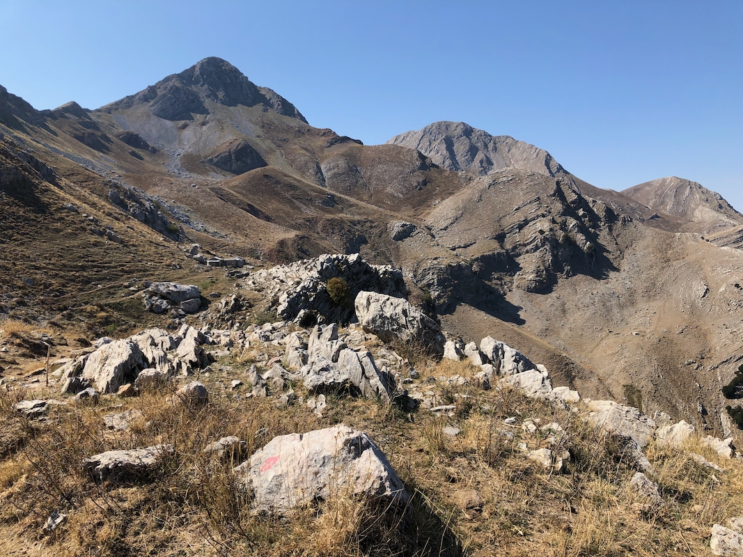
The trail will take you to a large col located immediately east of the mountain.
From here, head directly up the east face,
there are trails marked with cairns,
but sometimes a bit difficult to follow. Still, taking what appears to be natural
choices will keep the difficulty at (YDS) class 2. No scrambling is needed provided
you follow the best line.
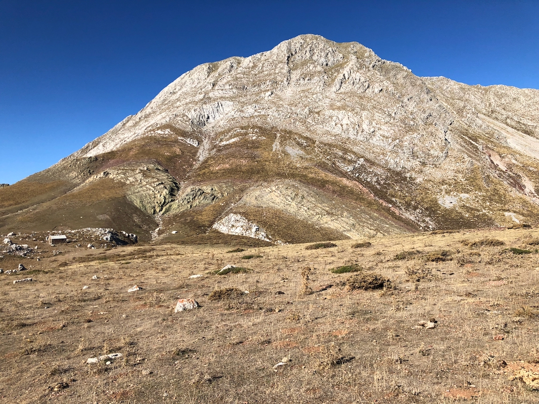
The route will end in a pretty wide gully, mostly grass, that arrives on top quite
a bit south of the highest point. An easy walk at the end will finish the climb.
Comments:
I missed the mountain road from reading a previous trip report.
Thus, I parked at 950 meter and followed the signed (and well marked) path
uphill. I was slightly surprised when this path hit the road higher up.
Already at this road, you will see the goal some distance ahead.
The marked trail leaves the road again at N38.00896, E021.88373, elevation about
1200 meter. However, I stayed on the road on my ascent. Later, when descending, I followed
the marked path all the way down to this location.
It was a nice and sunny day.
I enjoyed the hike and the landscape, arriving on top
at 1115. I spent 15 minutes there, very nice scenery and a really good day to be here.
The descent was equally nice returning in 2:15 for an overall trip time of
5:15.