Location: North 38.64181, East 034.04277 (GPS near the summit)
Difficulty: YDS class 1, drive-up.
Climbed July 21. 2016.
Information:
How to get there:
This mountain is located about 30 kilometer north of Aksaray.
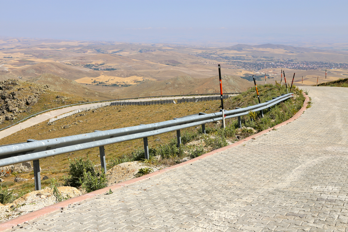
Take D750 north-west, then fork right on D757 after about 14 kilometer.
After about 14 more kilometer on D757, fork right and drive north
in order to locate the start of the mountain road. Subsequently, drive
up a good, solid surface road in several switch-backs to gain the summit.
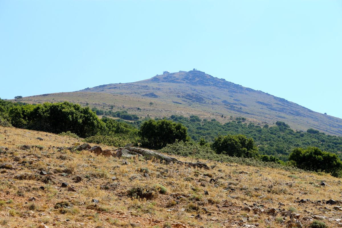
The summit has been made more flat than it used to be, in order to build
a pretty big radar up there.
Route description:
See above.
Comments:
I started out from our hotel after breakfast.
My primary goal was Ekecik Dagi, but I had also considered a back-up in
case of unforseen trouble, Erdas Dagi.
As I drove closer to the peak, I spotted
the radar on top and guessed that a road would serve the summit.
The radar is guarded by the Turkish army and one is unlikely to be permitted
onto the very highest point (which likely used to be under the current radar).
However, one is high enough to claim a military exception, Given the circumstances
here in Turkey less than a week ago (a military (failed) coup), I did not feel
any need to argue (about walking 10 more steps!) more than a little bit.
Taking photos was not permitted, but the guard offered me to take some pictures with my camera,
in this way he felt certain not to reveal any "military secrets". He did a reasonably good job.
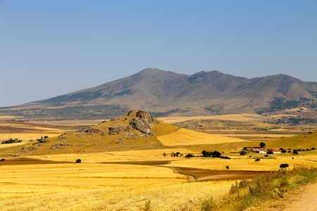
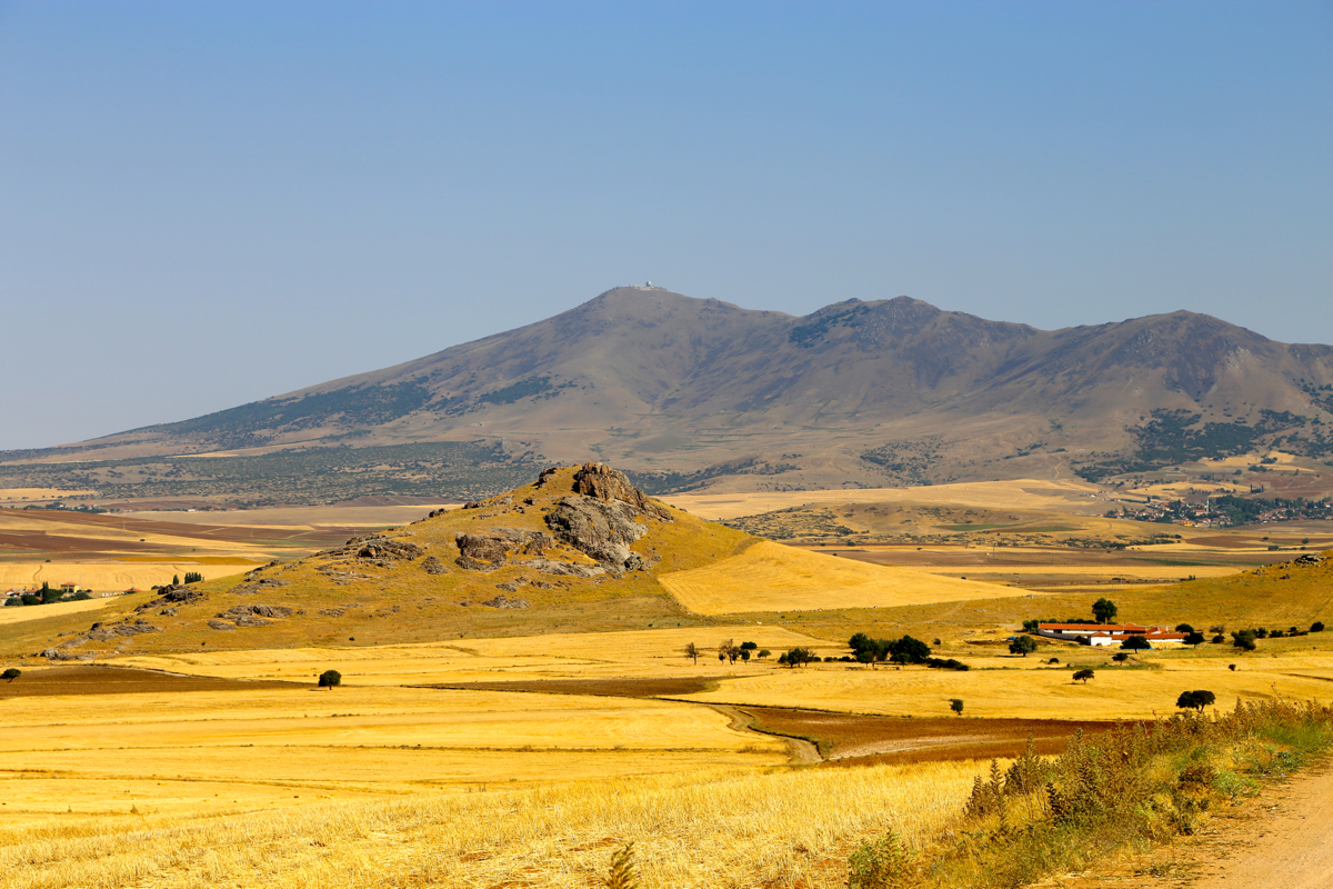
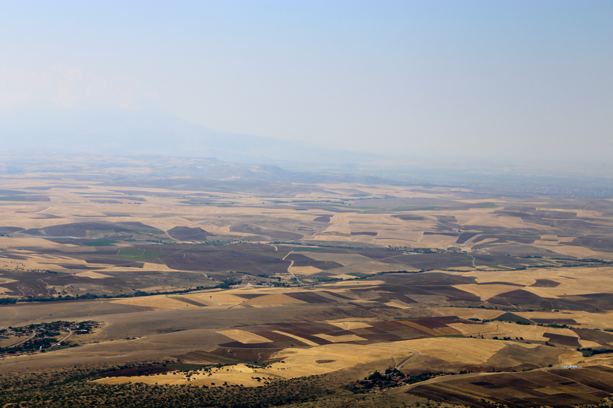
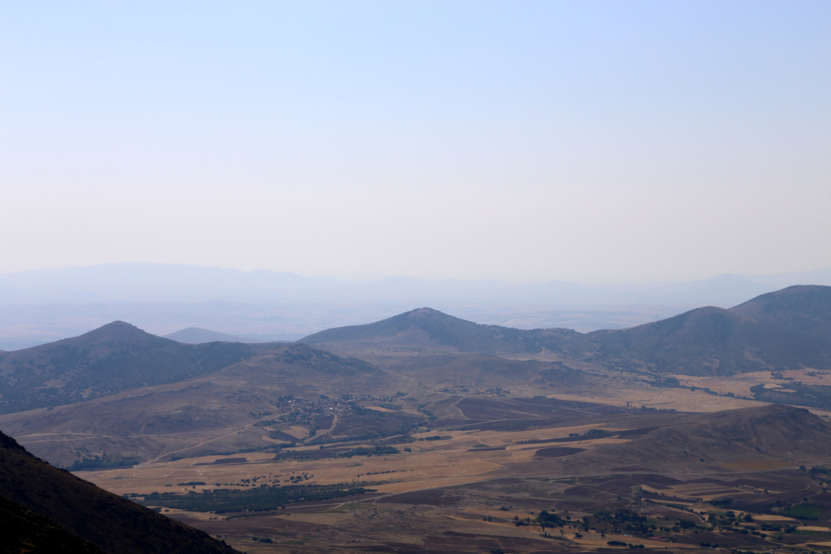
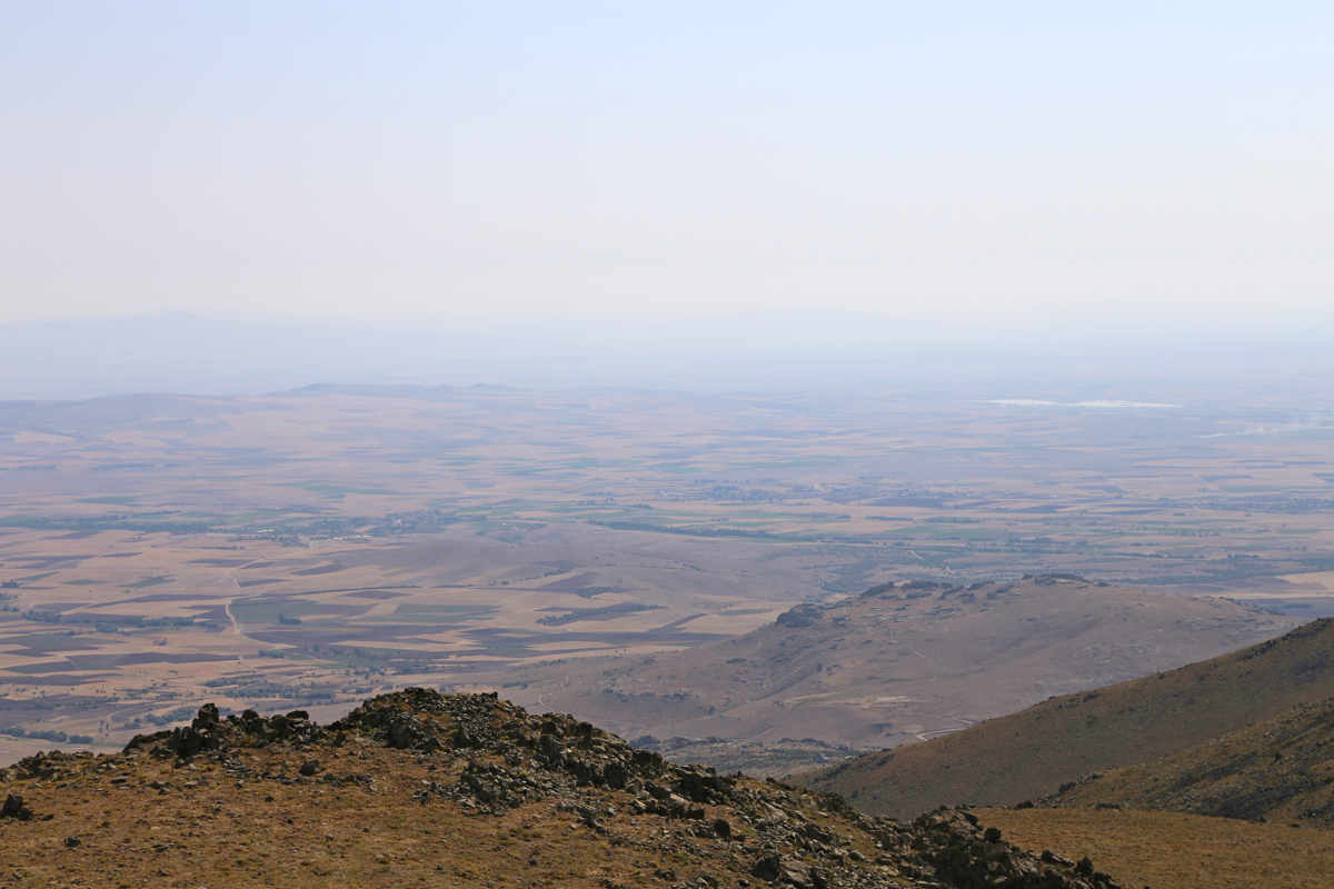
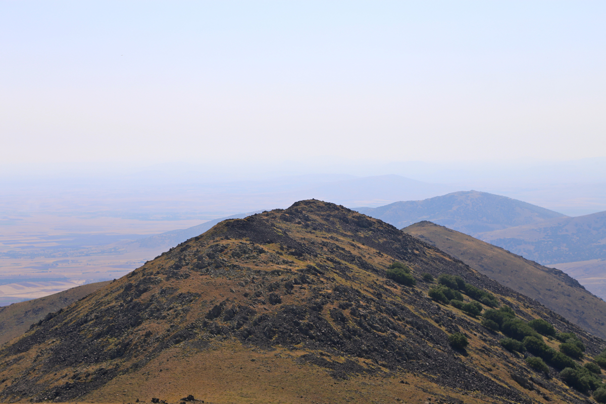
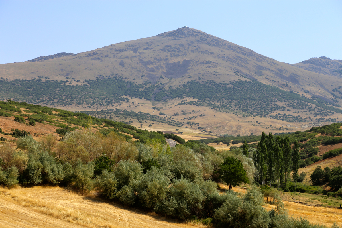
One will observe from the photos that this peak really rises up from a pretty flat landscape, it is
perhaps not surprising that someone decided that it would be a good spot to build a radar.
Here is a quick summary of peaks climbed in our trip to Turkey.